Lodge Spinney
Wood, Forest in Huntingdonshire Huntingdonshire
England
Lodge Spinney

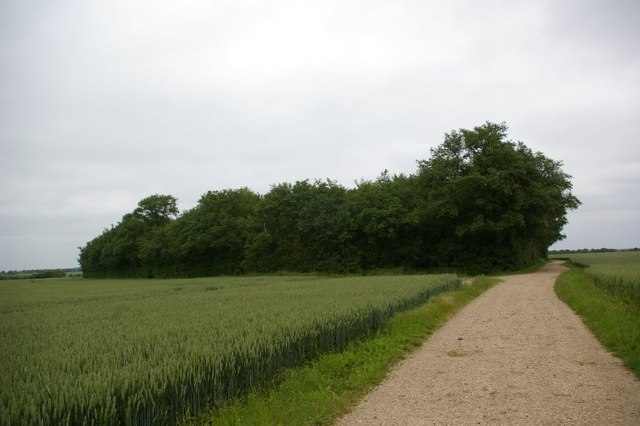
Lodge Spinney is a picturesque woodland located in Huntingdonshire, England. Nestled within the beautiful countryside, it covers an expansive area and is renowned for its tranquil atmosphere. The woodland is predominantly composed of a variety of tall, majestic trees, including oak, beech, and birch, creating a dense canopy that provides shade and shelter for a diverse range of flora and fauna.
The forest floor is carpeted with a rich tapestry of wildflowers, ferns, and mosses, adding to the enchanting ambiance of the woodland. Moreover, the presence of natural springs and small streams meandering through the trees enhances the overall serenity of the area. Visitors can find peace and solace while strolling along the well-maintained footpaths, immersing themselves in the beauty of nature.
Lodge Spinney is often frequented by birdwatchers and nature enthusiasts due to its abundant wildlife. The woodland is home to a variety of bird species, including woodpeckers, owls, and songbirds, providing ample opportunities for bird spotting and photography. Additionally, small mammals like squirrels, rabbits, and hedgehogs can be spotted scurrying through the undergrowth, adding an element of liveliness to the woodland.
The woodland also holds historical significance, with remnants of ancient settlements and archaeological finds scattered throughout the area. The presence of these artifacts offers a glimpse into the rich cultural heritage of the region.
Overall, Lodge Spinney in Huntingdonshire is a haven for nature lovers and those seeking tranquility. Its lush greenery, diverse wildlife, and historical significance make it a truly captivating destination for anyone eager to explore the beauty of the English countryside.
If you have any feedback on the listing, please let us know in the comments section below.
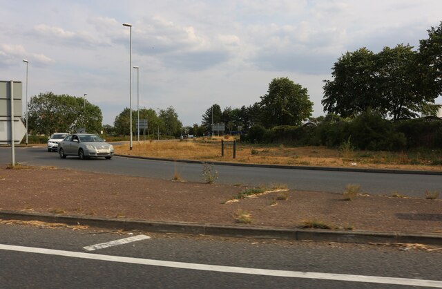
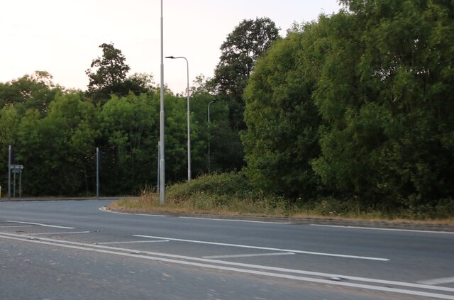
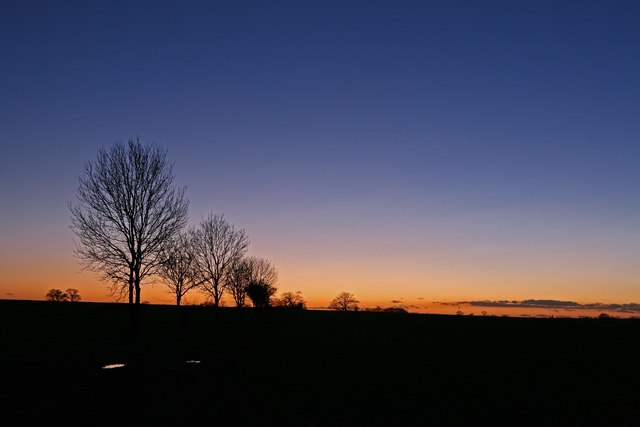
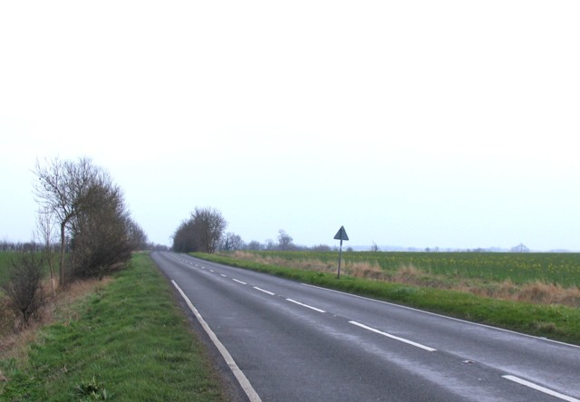
Lodge Spinney Images
Images are sourced within 2km of 52.362328/-0.18145542 or Grid Reference TL2375. Thanks to Geograph Open Source API. All images are credited.


Lodge Spinney is located at Grid Ref: TL2375 (Lat: 52.362328, Lng: -0.18145542)
Administrative County: Cambridgeshire
District: Huntingdonshire
Police Authority: Cambridgeshire
What 3 Words
///evoked.foggy.nuptials. Near Huntingdon, Cambridgeshire
Nearby Locations
Related Wikis

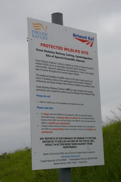
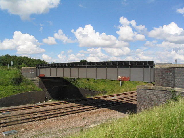
Great Stukeley Railway Cutting
Great Stukeley Railway Cutting is a 34.7-hectare (86-acre) biological Site of Special Scientific Interest in Huntingdon in Cambridgeshire.The site is on...

Huntingdon Town F.C.
Huntingdon Town Football Club is a football club based in Huntingdon, Cambridgeshire, England. They are currently members of the Spartan South Midlands...

Huntingdon and Peterborough
Huntingdon and Peterborough was a short-lived administrative and geographical county in East Anglia in the United Kingdom. It existed from 1965 to 1974...
Secret Garden Party
The Secret Garden Party, often colloquially shortened to the SGP, is an independent arts and music festival which takes place in Abbots Ripton near Huntingdon...

Kings Ripton
Kings Ripton (traditionally King's Ripton) is a village and civil parish in Cambridgeshire, England. Kings Ripton lies approximately 3 miles (5 km) north...
Alconbury High School
Alconbury High School is a public high school located in Alconbury, England, operated by the Department of Defense Education Activity (DoDEA). It is a...

Great Stukeley
Great Stukeley is a village and former civil parish, now in the parish of The Stukeleys. It is 1.8 miles (2.9 km) north-west of Huntingdon. Great Stukeley...
The Stukeleys
The Stukeleys is a civil parish in the district of Huntingdonshire, in Cambridgeshire, England, consisting of the villages of Great Stukeley and Little...
Nearby Amenities
Located within 500m of 52.362328,-0.18145542Have you been to Lodge Spinney?
Leave your review of Lodge Spinney below (or comments, questions and feedback).