Creswick Plantation
Wood, Forest in Hertfordshire Welwyn Hatfield
England
Creswick Plantation
Creswick Plantation is a picturesque woodland area located in Hertfordshire, England. Spanning over a vast expanse, it is known for its lush greenery and diverse flora and fauna. The plantation is situated in the heart of Hertfordshire, making it easily accessible from nearby towns and cities.
Covering an area of approximately 500 acres, Creswick Plantation is predominantly a mixed woodland, comprising both coniferous and deciduous trees. A variety of tree species such as oak, beech, pine, and birch can be found throughout the plantation, creating a visually stunning landscape throughout the year. The woodland is well-maintained, with designated paths and trails for visitors to explore and enjoy nature at its finest.
The plantation is home to a rich ecosystem, supporting a wide range of wildlife. Birdwatchers can spot numerous species of birds, including woodpeckers, owls, and various songbirds. Small mammals like foxes, badgers, and squirrels are often seen scurrying amidst the undergrowth. Additionally, the plantation is home to several species of insects, butterflies, and other invertebrates.
Creswick Plantation offers an idyllic setting for outdoor enthusiasts and nature lovers. It is a popular destination for walking, jogging, and cycling, with its well-maintained trails providing a peaceful escape from the hustle and bustle of urban life. The plantation also provides opportunities for educational activities, such as guided nature walks and environmental workshops.
Overall, Creswick Plantation in Hertfordshire is a natural haven, offering a serene environment for visitors to immerse themselves in the beauty of woodlands, explore diverse flora and fauna, and connect with nature.
If you have any feedback on the listing, please let us know in the comments section below.
Creswick Plantation Images
Images are sourced within 2km of 51.780391/-0.20578961 or Grid Reference TL2310. Thanks to Geograph Open Source API. All images are credited.


Creswick Plantation is located at Grid Ref: TL2310 (Lat: 51.780391, Lng: -0.20578961)
Administrative County: Hertfordshire
District: Welwyn Hatfield
Police Authority: Hertfordshire
What 3 Words
///lights.rips.pizza. Near Hatfield, Hertfordshire
Nearby Locations
Related Wikis
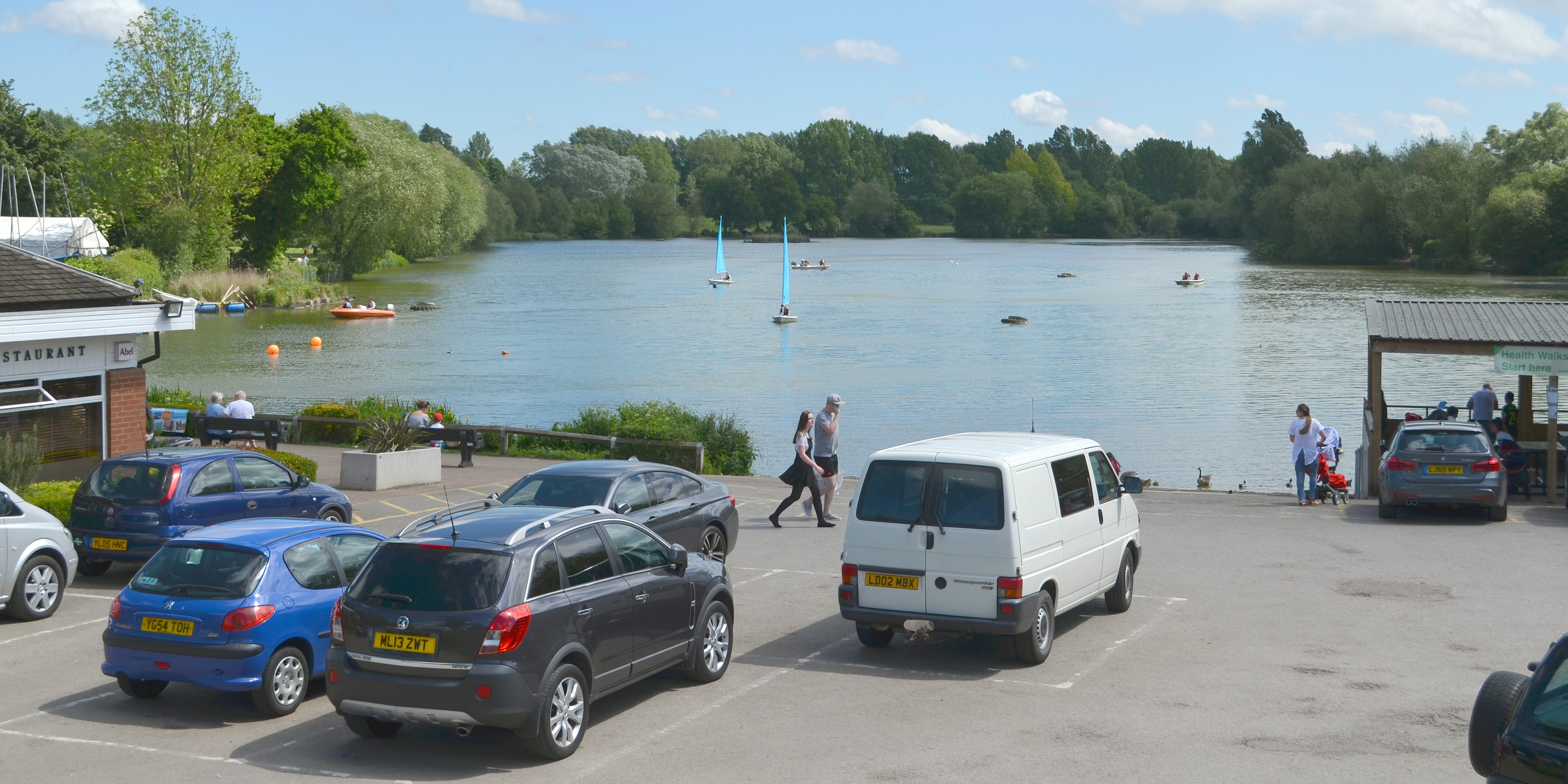
Stanborough Park
Stanborough Park, also referred to as Stanborough Lakes is a 126-acre (0.51 km2) park in Welwyn Garden City, Hertfordshire, England. The park features...
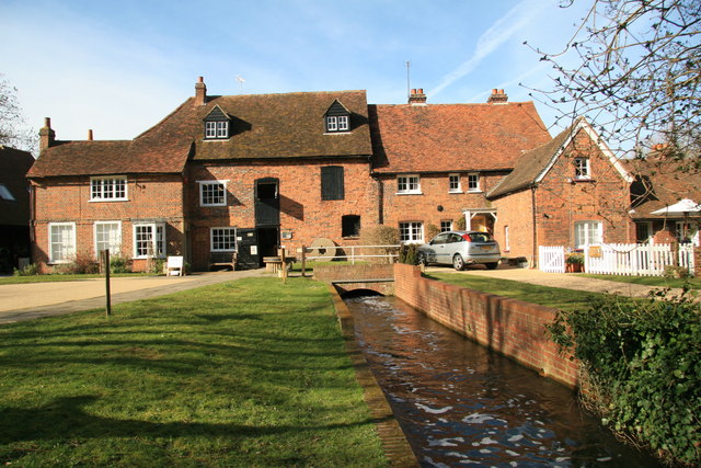
Mill Green Museum
Mill Green Museum is a working watermill in Hatfield, Hertfordshire, England. The building is listed grade II* ("The Old Mill House Museum and Mill Green...
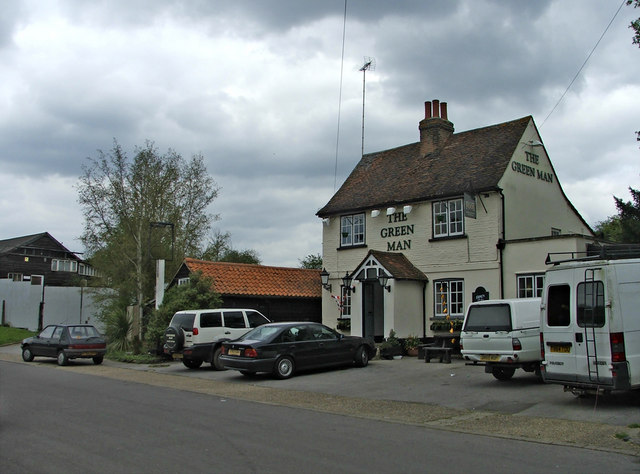
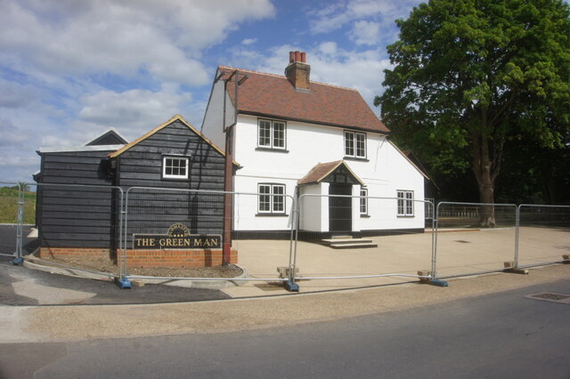
The Green Man, Hatfield
The Green Man is a grade II listed public house in Mill Green Lane, Hatfield, Hertfordshire, England. The building is based on a seventeenth-century timber...

Hatfield Town F.C.
Hatfield Town Football Club is a football club based in Hatfield, Hertfordshire. They are currently members of the Herts County League Premier Division...
Nearby Amenities
Located within 500m of 51.780391,-0.20578961Have you been to Creswick Plantation?
Leave your review of Creswick Plantation below (or comments, questions and feedback).