Mickle Hill Plantation
Wood, Forest in Huntingdonshire Huntingdonshire
England
Mickle Hill Plantation
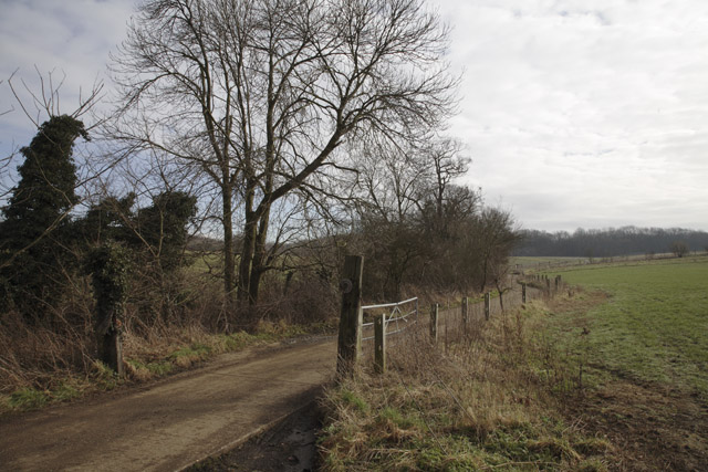
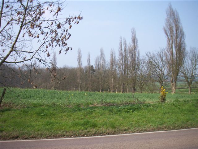
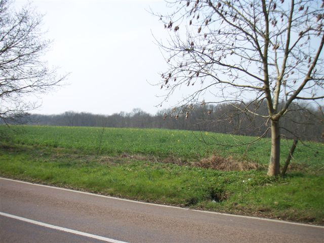
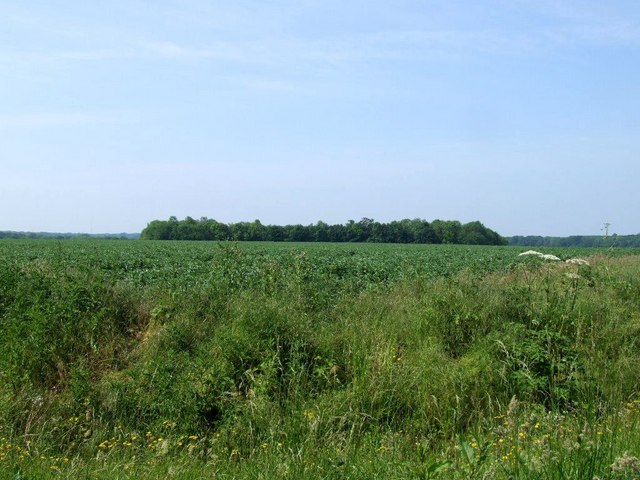
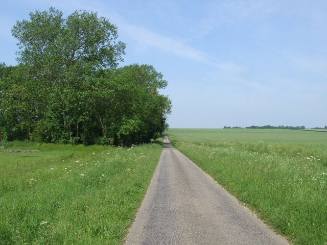
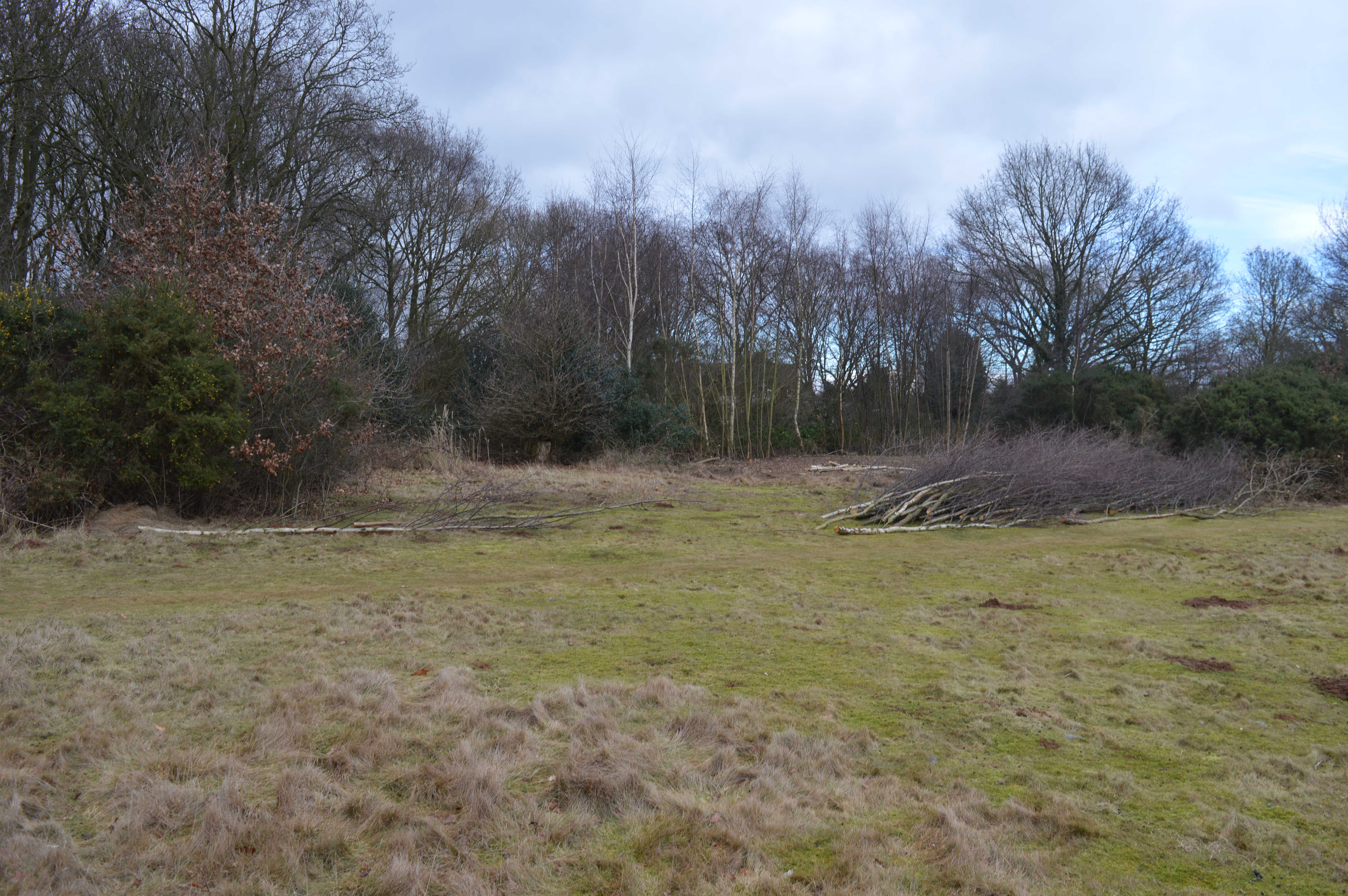
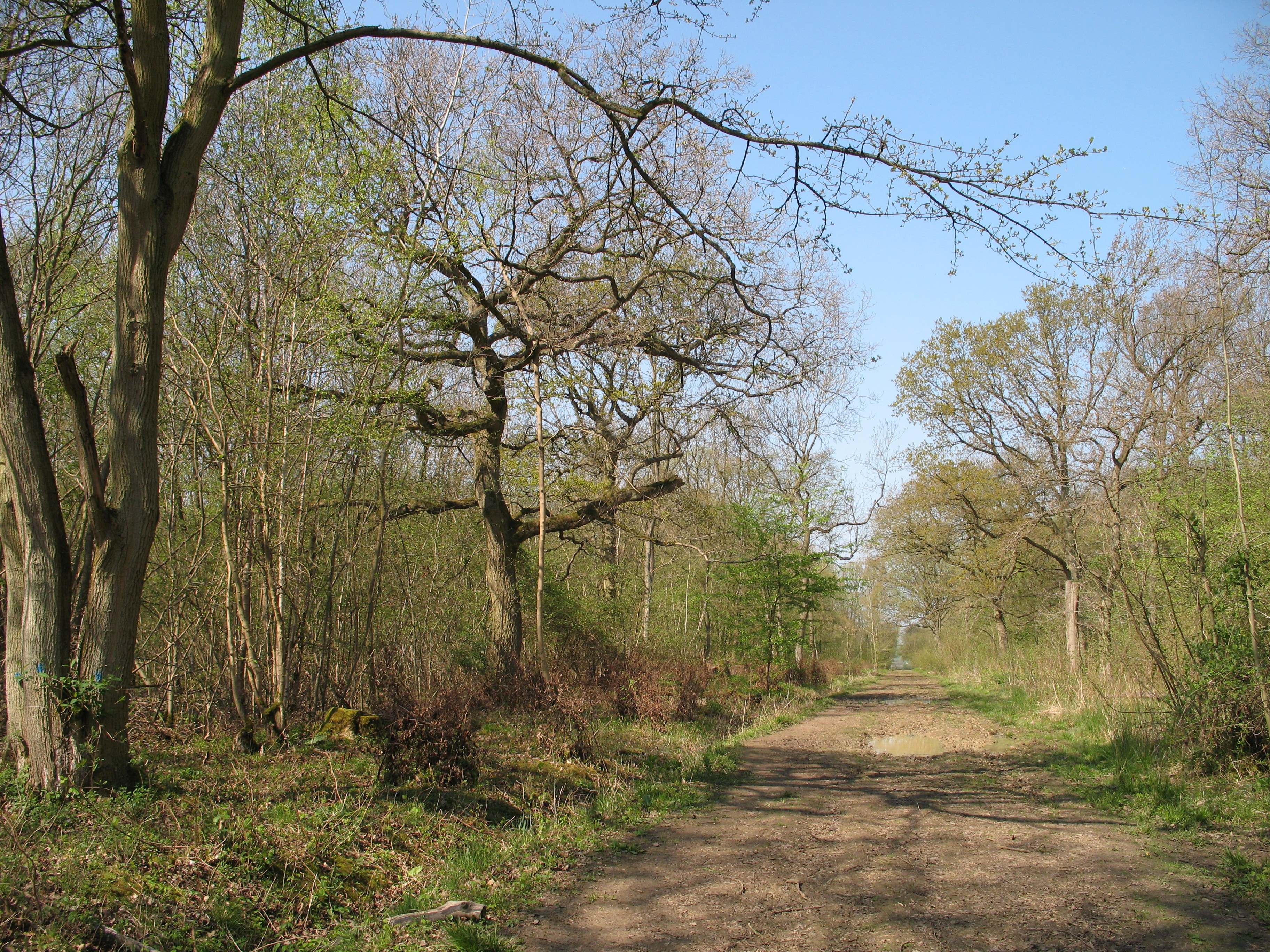
Mickle Hill Plantation is a picturesque woodland located in Huntingdonshire, England. Situated in a rural setting, it covers an area of approximately 100 acres and is renowned for its natural beauty and rich historical significance. The plantation predominantly consists of a diverse range of trees including oak, beech, and pine, creating a thriving ecosystem that supports a variety of wildlife.
With its long-standing history, Mickle Hill Plantation dates back several centuries, serving as a vital resource for timber production and hunting grounds for the local community. The woodland has been carefully managed throughout the years, ensuring the sustainability of its resources and preserving its natural charm.
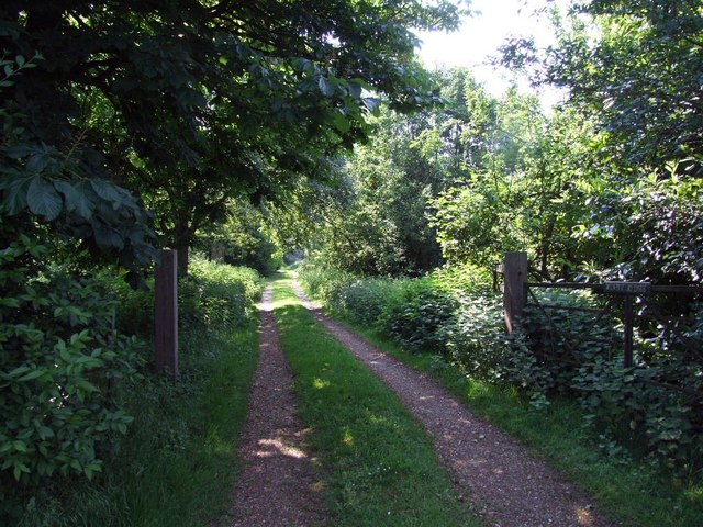
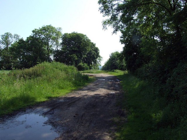
Visitors to Mickle Hill Plantation can explore the numerous walking trails that wind through the woodland, offering a peaceful and tranquil environment for leisurely walks and nature appreciation. The plantation also provides opportunities for outdoor activities such as birdwatching and photography, with its diverse range of bird species and stunning scenery.
Nature enthusiasts are attracted to the plantation's unique flora and fauna, which includes rare orchids, wildflowers, and a variety of woodland creatures like deer, badgers, and foxes. The woodland's serene atmosphere and lush vegetation make it an ideal location for nature lovers and a popular destination for those seeking solace in the great outdoors.
Mickle Hill Plantation is not only a haven for wildlife and a place of natural beauty but also a significant historical site, reflecting the rich heritage of Huntingdonshire. It continues to be cherished by locals and visitors alike for its scenic landscapes and the sense of tranquility it offers.
If you have any feedback on the listing, please let us know in the comments section below.
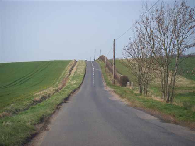
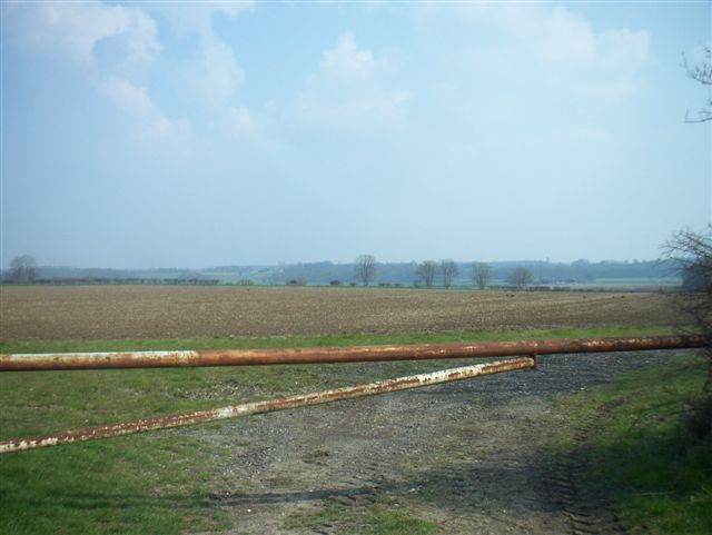
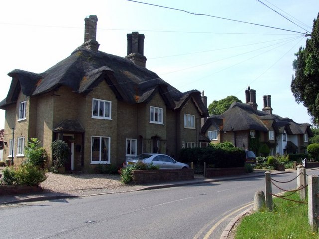
Mickle Hill Plantation Images
Images are sourced within 2km of 52.176383/-0.19065814 or Grid Reference TL2354. Thanks to Geograph Open Source API. All images are credited.

Mickle Hill Plantation is located at Grid Ref: TL2354 (Lat: 52.176383, Lng: -0.19065814)
Administrative County: Cambridgeshire
District: Huntingdonshire
Police Authority: Cambridgeshire
What 3 Words
///firewall.quail.sandbags. Near Gamlingay, Cambridgeshire
Nearby Locations
Related Wikis

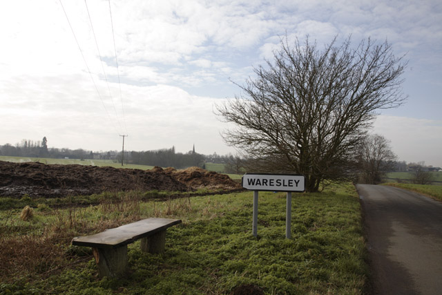
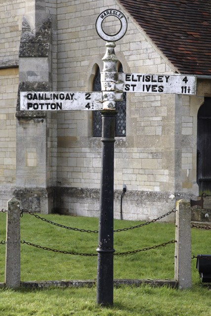
Waresley
Waresley is a village and former civil parish, now in the parish of Waresley-cum-Tetworth, in Cambridgeshire, England. Waresley lies approximately 11 miles...

Gamlingay Wood
Gamlingay Wood is a 48.4-hectare (120-acre) biological Site of Special Scientific Interest (SSSI) north of Gamlingay in Cambridgeshire. It is managed by...

Weaveley and Sand Woods
Weaveley and Sand Woods is a 62.0-hectare (153-acre) biological Site of Special Scientific Interest north of Gamlingay in Cambridgeshire.This site has...

Gamlingay
Gamlingay is a village and civil parish in the South Cambridgeshire district of Cambridgeshire, England about 14 miles (23 km) west southwest of the county...

Abbotsley
Abbotsley is a village and civil parish within the Huntingdonshire district of Cambridgeshire, England. It is three miles from St Neots and 14 miles from...
Gamlingay Cinques
Gamlingay Cinques is a 3.4-hectare (8.4-acre) nature reserve in Gamlingay in Cambridgeshire. It is managed by the Wildlife Trust for Bedfordshire, Cambridgeshire...

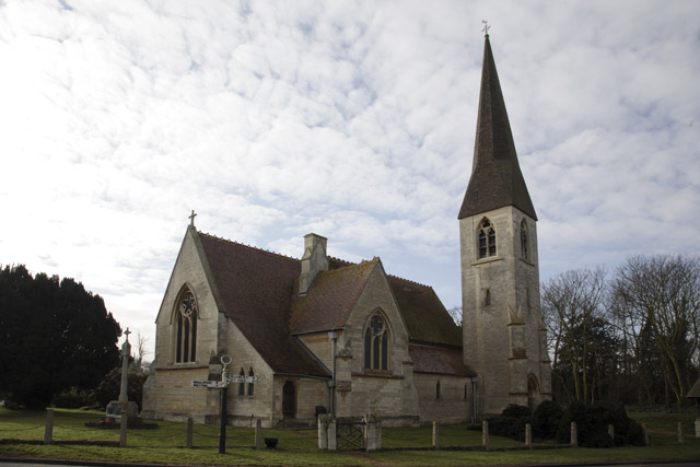
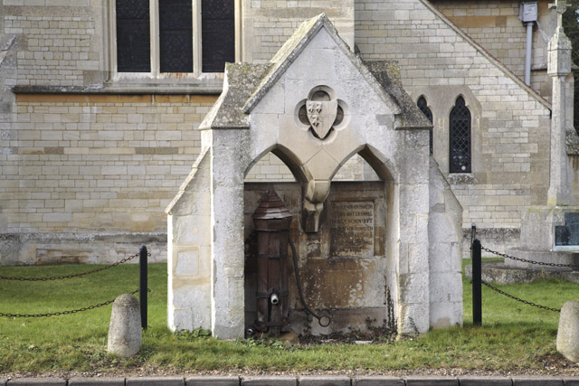
St Margaret's Church, Abbotsley
St Margaret's Church is a historic Anglican church in the village of Abbotsley, Cambridgeshire, England. It is recorded in the National Heritage List...
Waresley and Gransden Woods
Waresley and Gransden Woods is a 50-hectare (120-acre) nature reserve between Waresley and Great Gransden in Cambridgeshire, England. It is managed by...
Nearby Amenities
Located within 500m of 52.176383,-0.19065814Have you been to Mickle Hill Plantation?
Leave your review of Mickle Hill Plantation below (or comments, questions and feedback).