Burlands Copse
Wood, Forest in Sussex Horsham
England
Burlands Copse

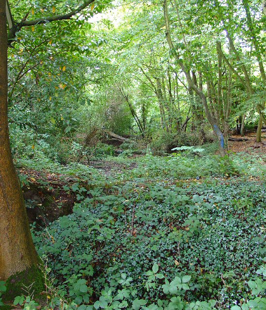
Burlands Copse is a picturesque woodland located in Sussex, England. Spanning over a vast area, this forest is known for its stunning natural beauty and diverse range of flora and fauna. The copse is situated in a secluded area, surrounded by rolling hills and countryside, making it a perfect retreat for nature lovers and outdoor enthusiasts.
The woodland itself is predominantly made up of a variety of broadleaf trees, such as oak, beech, and birch, which provide a rich canopy overhead. As a result, the forest floor is adorned with a carpet of vibrant wildflowers, ferns, and mosses, creating a magical and enchanting atmosphere.
Burlands Copse is home to a diverse array of wildlife, including numerous bird species, such as woodpeckers, owls, and thrushes. It is not uncommon to spot squirrels, foxes, and even deer roaming freely in the area. The copse also boasts a thriving insect population, with butterflies and bees flitting from flower to flower.
The woodland offers several walking trails and footpaths, allowing visitors to explore its hidden gems at their own pace. These paths wind through the forest, leading to hidden clearings, babbling brooks, and even a small pond. It is a peaceful and tranquil setting, perfect for escaping the hustle and bustle of modern life.
Overall, Burlands Copse is a haven of natural beauty, providing a serene and idyllic escape for those seeking solace in nature. Whether it is for a leisurely stroll, birdwatching, or simply enjoying the tranquility, this woodland offers an unforgettable experience for all who visit.
If you have any feedback on the listing, please let us know in the comments section below.
Burlands Copse Images
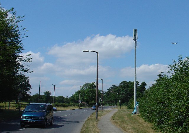
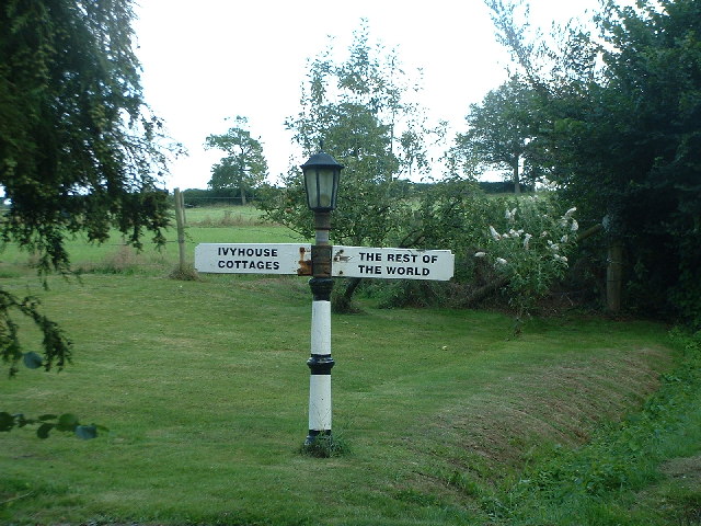
Images are sourced within 2km of 51.13776/-0.23180091 or Grid Reference TQ2339. Thanks to Geograph Open Source API. All images are credited.


Burlands Copse is located at Grid Ref: TQ2339 (Lat: 51.13776, Lng: -0.23180091)
Administrative County: West Sussex
District: Horsham
Police Authority: Sussex
What 3 Words
///foam.letter.hours. Near Langley Green, West Sussex
Nearby Locations
Related Wikis
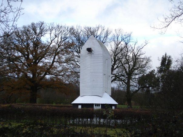
Lowfield Heath Windmill
Lowfield Heath Windmill is a grade II listed post mill at Charlwood, Surrey, England which has been restored to working order. == History == The Lowfield...

St Margaret's Church, Ifield
St Margaret's Church is an Anglican church in the Ifield neighbourhood of Crawley, a town and borough in West Sussex, England. It is the ancient parish...

Glover's Wood
Glover's Wood is a 74.5-hectare (184-acre) biological Site of Special Scientific Interest east of Charlwood in Surrey. It is a Nature Conservation Review...
Ifield Friends Meeting House
The Ifield Friends Meeting House is a Friends meeting house (Quaker place of worship) in the Ifield neighbourhood of Crawley, a town and borough in West...
Nearby Amenities
Located within 500m of 51.13776,-0.23180091Have you been to Burlands Copse?
Leave your review of Burlands Copse below (or comments, questions and feedback).