Bull's Wood
Wood, Forest in Sussex Horsham
England
Bull's Wood
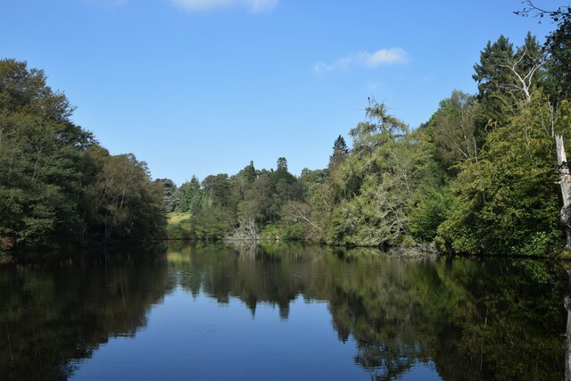
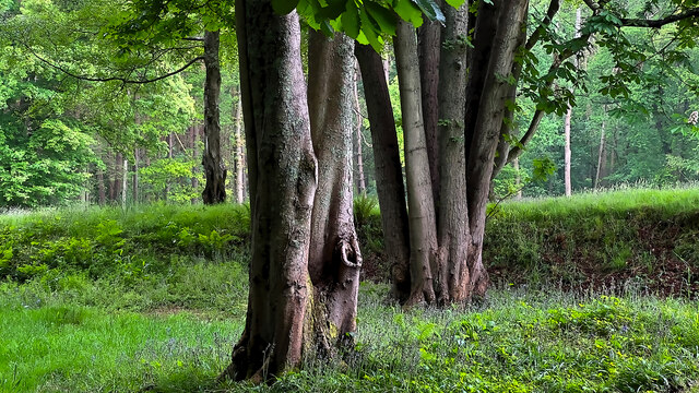
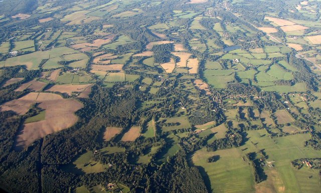
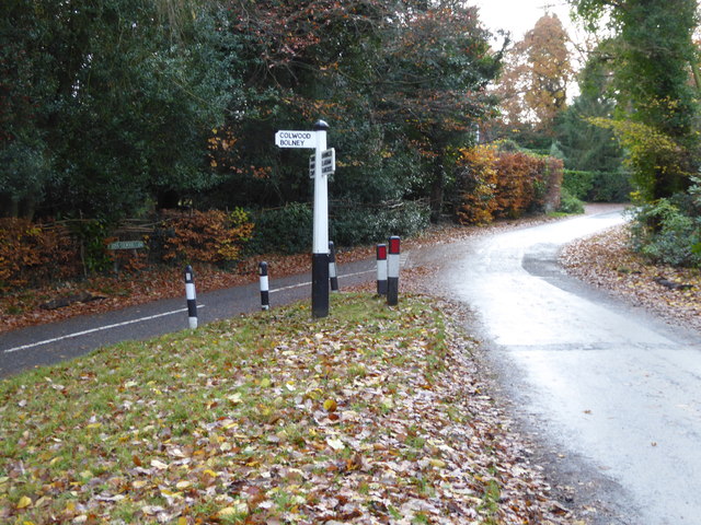
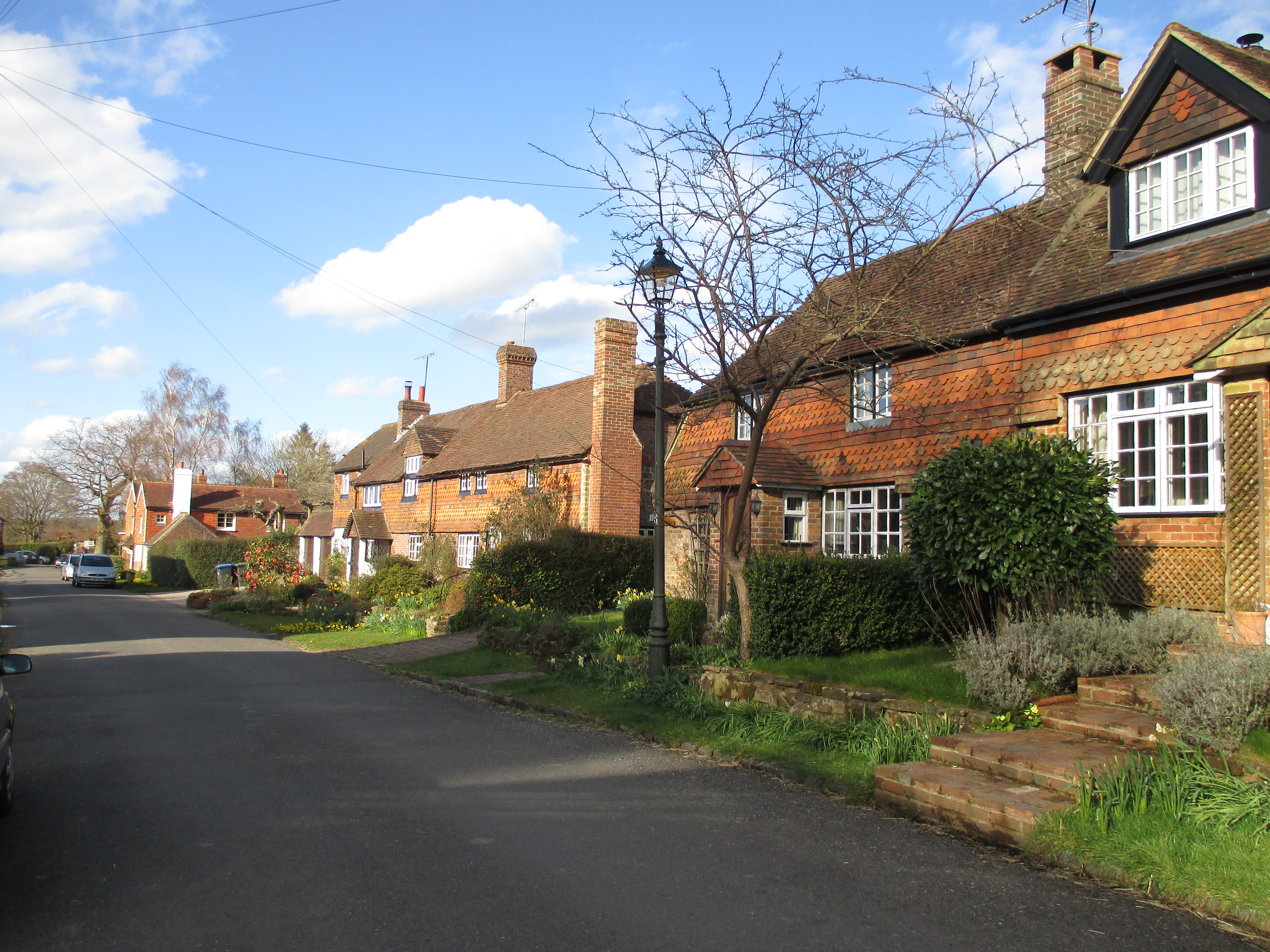
Bull's Wood, located in Sussex, England, is a picturesque and enchanting forest that covers an area of approximately 100 acres. Nestled amidst the rolling hills and countryside of Sussex, it is a popular destination for nature enthusiasts, hikers, and photographers.
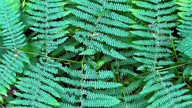
The woodland is predominantly made up of a mix of broadleaf and coniferous trees, including oak, beech, pine, and birch, creating a rich and diverse ecosystem. The dense canopy of trees provides a habitat for an array of wildlife, including deer, badgers, foxes, and a variety of bird species.
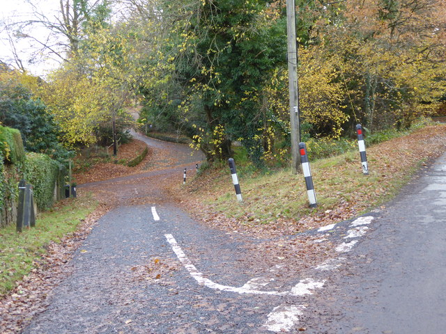
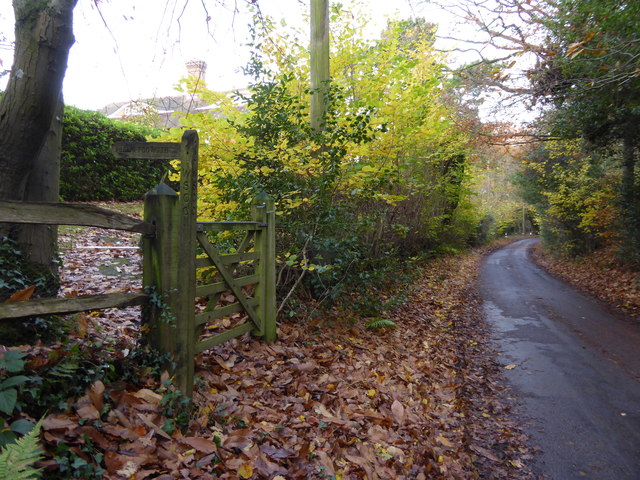
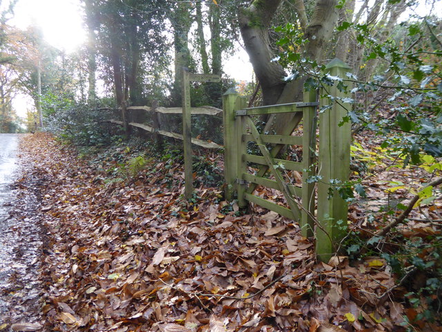
The forest is crisscrossed by a network of well-maintained footpaths, allowing visitors to explore the wood and its surroundings. These paths lead to secluded glades, tranquil ponds, and babbling brooks, which add to the idyllic atmosphere of the woodland. The terrain is varied, with gentle slopes, rocky outcrops, and hidden valleys, making it a delight for adventurous hikers.
Bull's Wood has a long history and is believed to have been part of a medieval hunting ground. There are remnants of old boundary walls and ancient ditches that hint at its past. In addition, the wood has a mystical charm, with tales of ghostly sightings and local legends adding to its allure.
The woodland is easily accessible, with a car park and visitor facilities nearby. It is a popular spot for picnics, family outings, and nature walks. Whether it is the vibrant colors of autumn, the fresh green foliage of spring, or the peaceful serenity of winter, Bull's Wood offers a captivating and rejuvenating experience for all who visit.
If you have any feedback on the listing, please let us know in the comments section below.
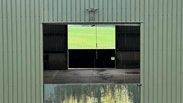
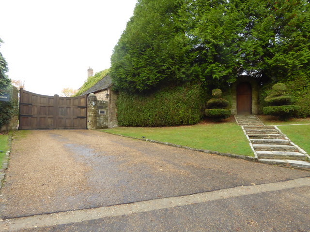
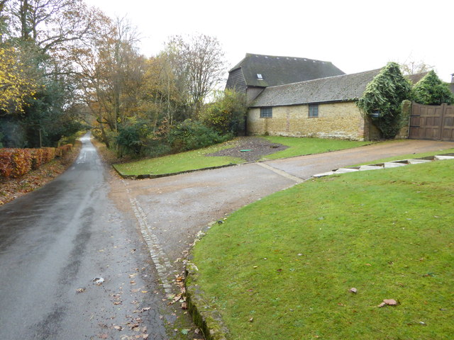
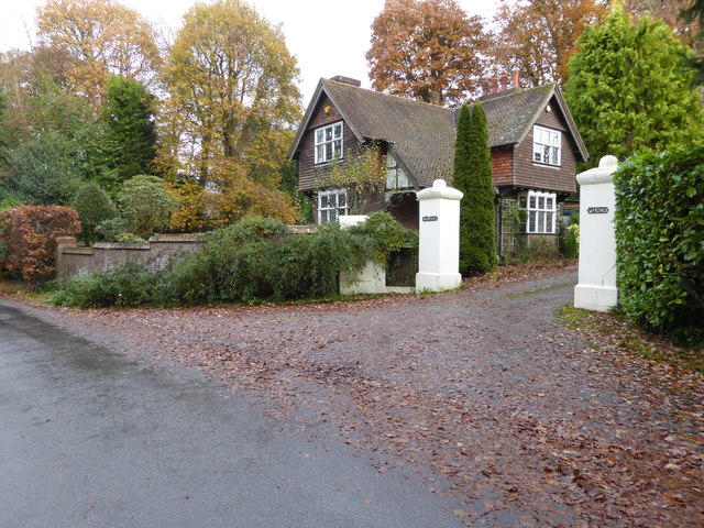
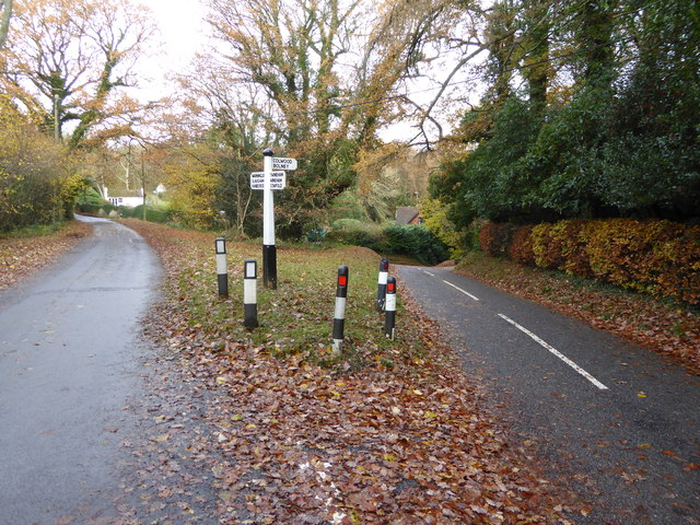
Bull's Wood Images
Images are sourced within 2km of 51.003963/-0.23722057 or Grid Reference TQ2324. Thanks to Geograph Open Source API. All images are credited.


Bull's Wood is located at Grid Ref: TQ2324 (Lat: 51.003963, Lng: -0.23722057)
Administrative County: West Sussex
District: Horsham
Police Authority: Sussex
What 3 Words
///private.pleaser.segments. Near Cowfold, West Sussex
Nearby Locations
Related Wikis

Colwood, West Sussex
Colwood is a village near Warninglid in West Sussex, England. It is the site of Colwood Manor. == References == The geographic coordinates are from the...

Crabtree, West Sussex
Crabtree is a hamlet in the parish of Lower Beeding and in Horsham District of West Sussex, England. It lies on the A281 road 4.4 miles (7.1 km) southeast...

Wykehurst Place
Wykehurst Place (or Park) is a Gothic Revival mansion in Bolney, West Sussex, England, resembling more the châteaux of the Loire than an English manor...
Warninglid
Warninglid (historically known as Warninglyth and Warningeld) is a small village in the Mid Sussex District of West Sussex, England. It lies on the B2115...
Nearby Amenities
Located within 500m of 51.003963,-0.23722057Have you been to Bull's Wood?
Leave your review of Bull's Wood below (or comments, questions and feedback).