Wallhurst Copse
Wood, Forest in Sussex Horsham
England
Wallhurst Copse

Wallhurst Copse is a picturesque wood located in Sussex, England. Spanning an area of approximately 50 acres, it is a popular destination for nature lovers and outdoor enthusiasts. The copse is situated on the outskirts of a small village, surrounded by rolling hills and countryside.
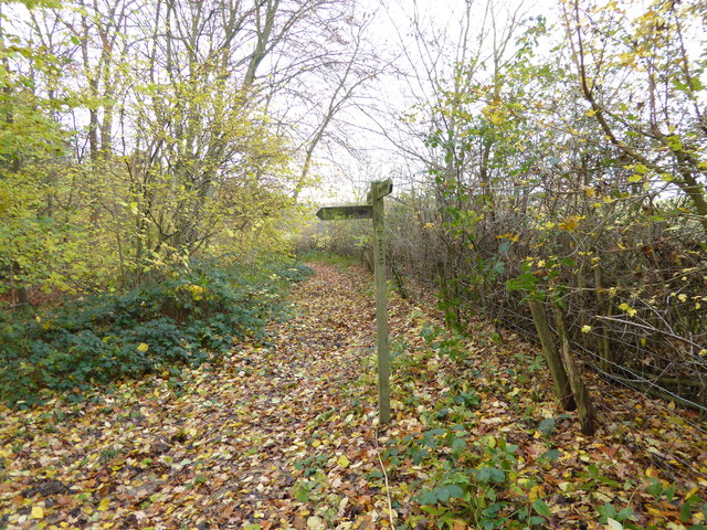
The woodland is predominantly made up of mixed deciduous trees, including oak, beech, and birch. These trees provide a vibrant display of colors during autumn, attracting visitors from far and wide. The forest floor is covered with a rich carpet of bluebells in the spring, creating a stunning sight and a haven for wildlife.
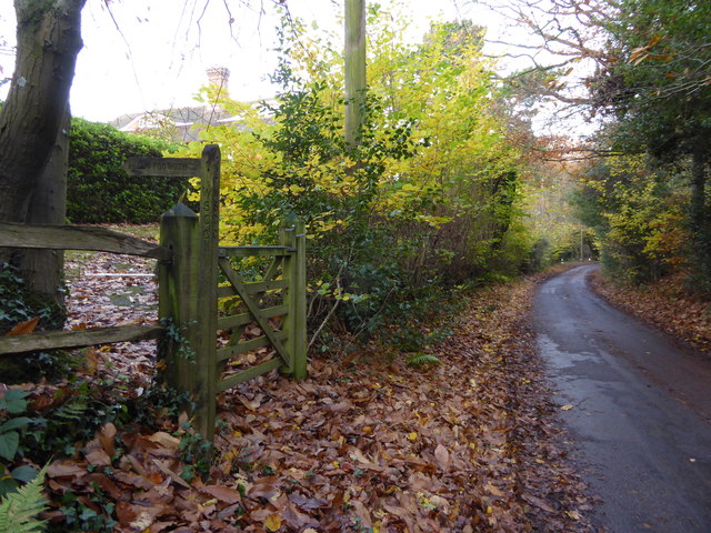
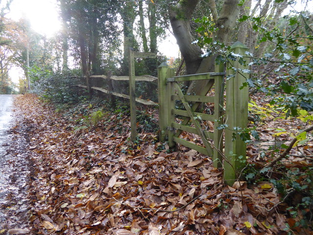
Wallhurst Copse offers a network of well-maintained footpaths and trails, allowing visitors to explore its diverse ecosystem. The paths wind through the wood, leading to hidden clearings and secluded spots, perfect for picnics or simply immersing oneself in the tranquility of nature.
The copse is home to a variety of wildlife, including deer, foxes, and a myriad of bird species. Birdwatchers can spot woodpeckers, owls, and various songbirds throughout the year. The presence of these animals adds to the enchanting atmosphere of the wood, making it a favorite spot for photographers and nature enthusiasts alike.
Managed by a local conservation group, Wallhurst Copse is carefully preserved to maintain its natural beauty and ecological balance. The wood also serves as an important habitat for rare and protected species, contributing to the overall biodiversity of the area.
Overall, Wallhurst Copse in Sussex is a captivating woodland, offering a tranquil escape from the hustle and bustle of daily life. Its stunning scenery, diverse flora and fauna, and well-maintained trails make it a must-visit destination for nature lovers and those seeking a peaceful retreat.
If you have any feedback on the listing, please let us know in the comments section below.
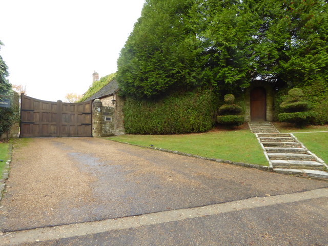
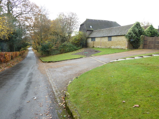
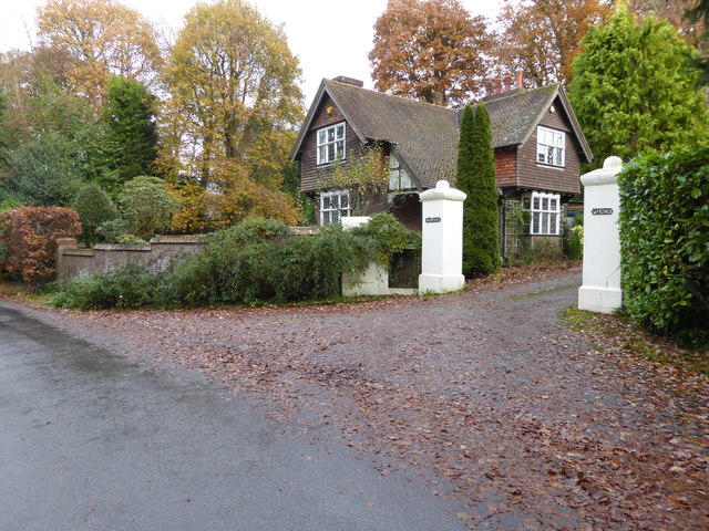
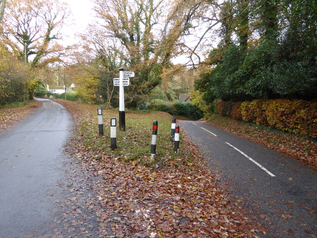
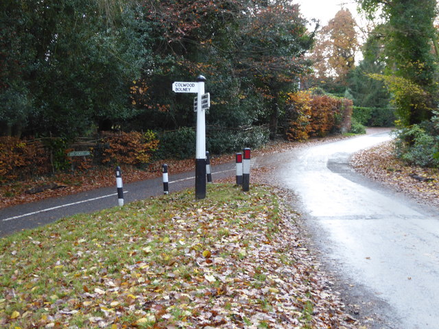
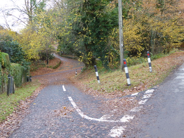
Wallhurst Copse Images
Images are sourced within 2km of 51.002454/-0.24815271 or Grid Reference TQ2324. Thanks to Geograph Open Source API. All images are credited.


Wallhurst Copse is located at Grid Ref: TQ2324 (Lat: 51.002454, Lng: -0.24815271)
Administrative County: West Sussex
District: Horsham
Police Authority: Sussex
What 3 Words
///narrating.tutorial.makes. Near Cowfold, West Sussex
Nearby Locations
Related Wikis

Colwood, West Sussex
Colwood is a village near Warninglid in West Sussex, England. It is the site of Colwood Manor. == References == The geographic coordinates are from the...

Crabtree, West Sussex
Crabtree is a hamlet in the parish of Lower Beeding and in Horsham District of West Sussex, England. It lies on the A281 road 4.4 miles (7.1 km) southeast...

Leonardslee
Leonardslee is an English country house and English landscape garden and woodland garden in Lower Beeding, near Horsham, West Sussex, England. The Grade...

Cowfold
Cowfold is a village and civil parish between Billingshurst and Haywards Heath in the Horsham District of West Sussex, England. The village is at the intersection...
Nearby Amenities
Located within 500m of 51.002454,-0.24815271Have you been to Wallhurst Copse?
Leave your review of Wallhurst Copse below (or comments, questions and feedback).