Brick Kiln Wood
Wood, Forest in Hertfordshire Welwyn Hatfield
England
Brick Kiln Wood
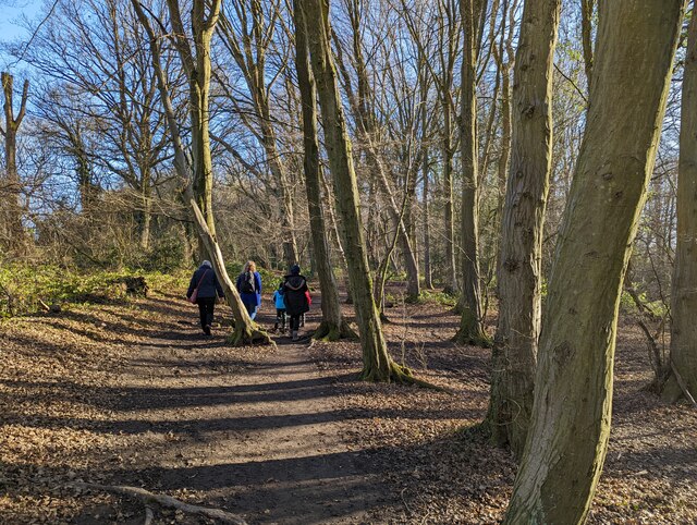
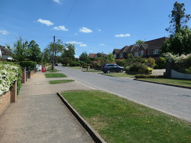
Brick Kiln Wood is a picturesque woodland located in Hertfordshire, England. Spanning over an area of approximately 50 acres, this enchanting forest is a popular destination for nature enthusiasts and hikers alike. The wood is situated near the charming village of Great Gaddesden and is easily accessible by car or public transportation.
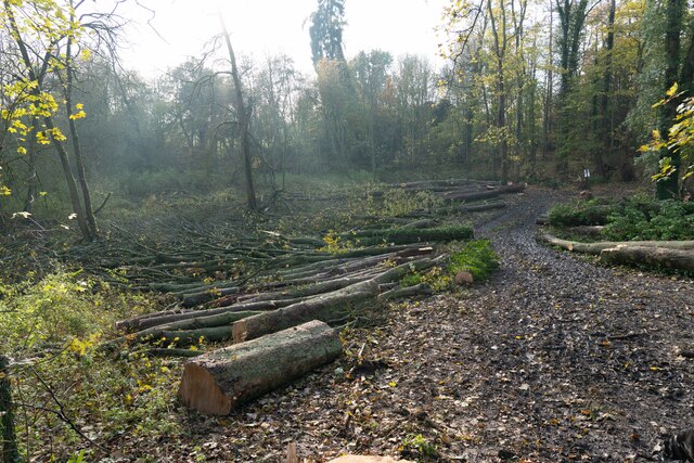
As the name suggests, Brick Kiln Wood was once home to a brick-making industry that thrived in the area during the 19th century. Today, remnants of the brick kilns can still be seen, adding a touch of historical charm to the woodland.
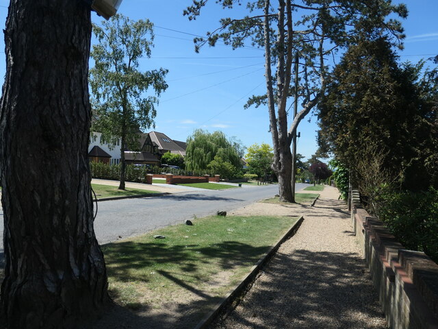
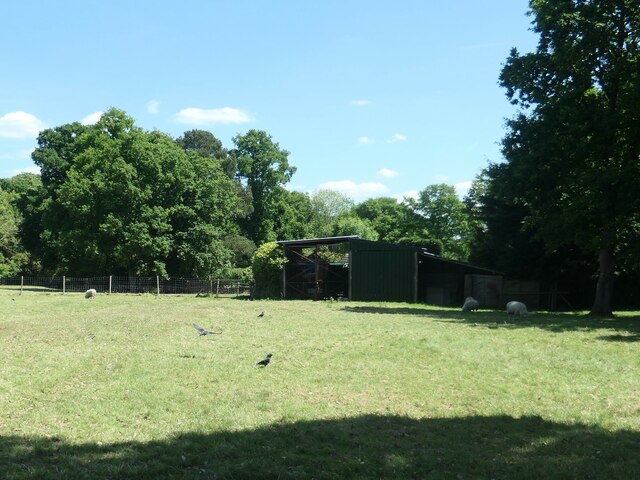
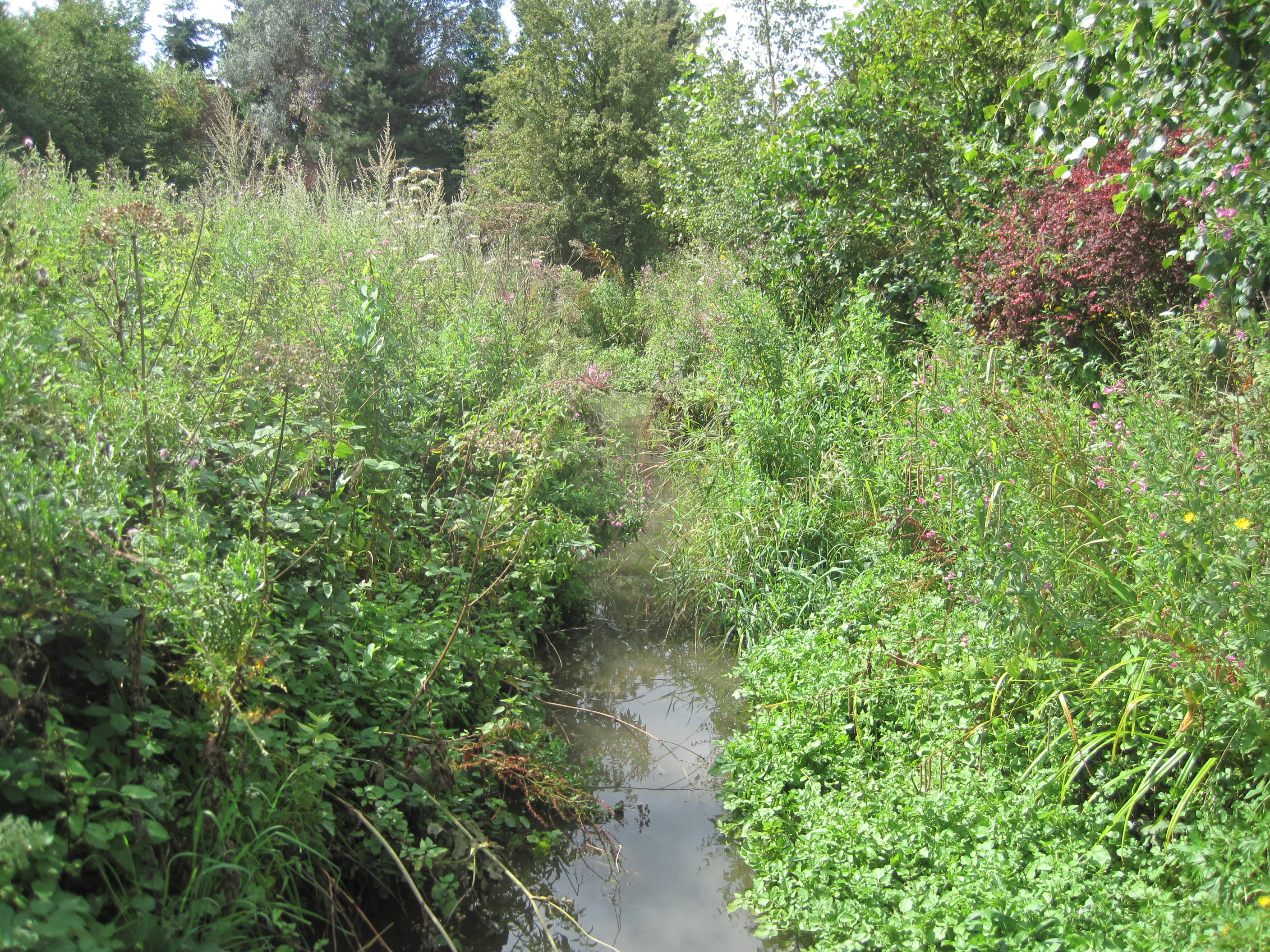
The woodland boasts a diverse range of flora and fauna, making it a haven for wildlife. Visitors can expect to encounter a variety of bird species, such as woodpeckers, owls, and finches, as well as small mammals like rabbits and squirrels. The forest floor is adorned with beautiful wildflowers, such as bluebells and primroses, creating a vibrant and colorful landscape.
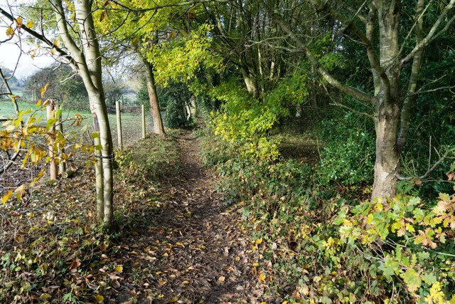
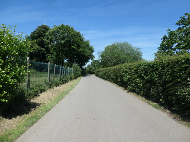
Several well-marked trails wind their way through the wood, offering visitors the opportunity to explore its natural beauty. These paths are ideal for leisurely walks, jogging, or even dog walking. Additionally, there are designated picnic areas where visitors can relax and enjoy a meal surrounded by the serene atmosphere of the wood.
Brick Kiln Wood is managed by the local council and is open to the public throughout the year. It provides a tranquil escape from the hustle and bustle of everyday life, allowing visitors to reconnect with nature and appreciate the beauty of Hertfordshire's woodlands.
If you have any feedback on the listing, please let us know in the comments section below.
Brick Kiln Wood Images
Images are sourced within 2km of 51.72131/-0.21328354 or Grid Reference TL2304. Thanks to Geograph Open Source API. All images are credited.
![Brookmans Park Golf Club [1] Seen from Golf Club Road.](https://s1.geograph.org.uk/geophotos/07/18/68/7186825_f900b103.jpg)
Brick Kiln Wood is located at Grid Ref: TL2304 (Lat: 51.72131, Lng: -0.21328354)
Administrative County: Hertfordshire
District: Welwyn Hatfield
Police Authority: Hertfordshire
What 3 Words
///habit.nights.event. Near Potters Bar, Hertfordshire
Nearby Locations
Related Wikis
Mimmshall Brook
Mimmshall Brook is a 9.8 kilometres (6.1 mi) long stream (brook) in Greater London and Hertfordshire, England. Rising from two sources—one in Hertsmere...
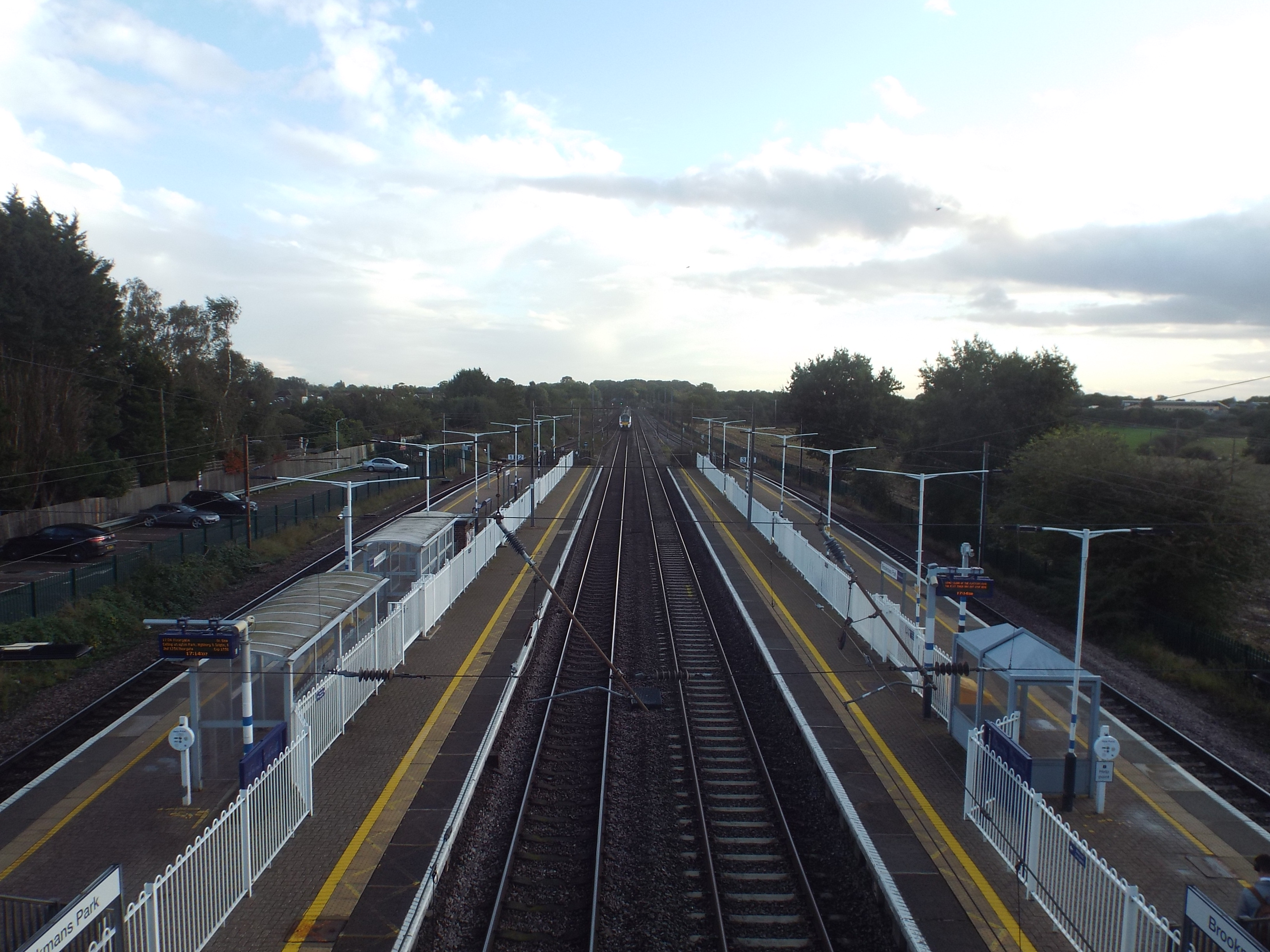
Brookmans Park railway station
Brookmans Park railway station serves the village of Brookmans Park in Hertfordshire, England. The station is located 14 miles 37 chains (23.3 km) north...
Water End Swallow Holes
Water End Swallow Holes is a biological site of Special Scientific Interest in Hertfordshire, south-east England. Located in Welham Green and under the...
Brookmans Park
Brookmans Park is a village in Hertfordshire, southeast England, known for its BBC transmitter station. Brookmans Park railway station, on the East Coast...
Nearby Amenities
Located within 500m of 51.72131,-0.21328354Have you been to Brick Kiln Wood?
Leave your review of Brick Kiln Wood below (or comments, questions and feedback).