North Plantation
Wood, Forest in Surrey Epsom and Ewell
England
North Plantation
North Plantation, Surrey, also known as Wood or Forest, is a picturesque rural area located in the county of Surrey, England. Nestled amidst the beautiful countryside, this small village is renowned for its natural beauty, tranquility, and rich history.
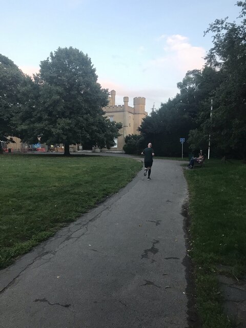
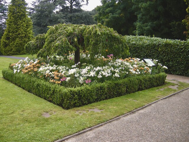
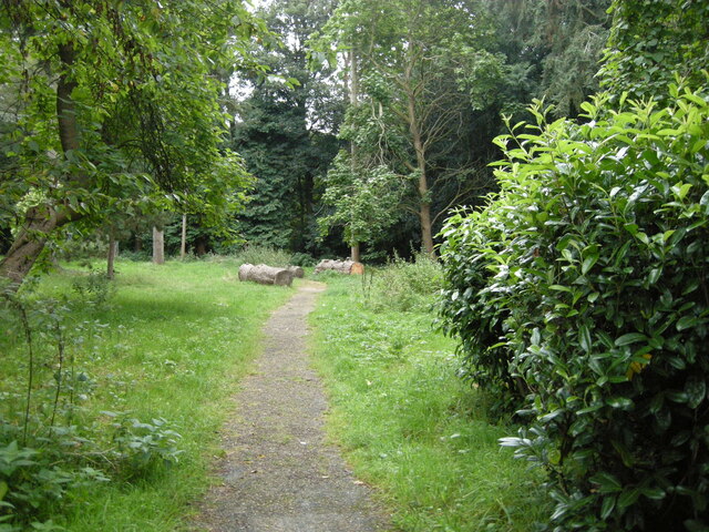
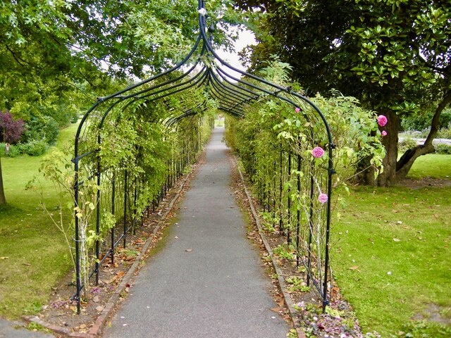
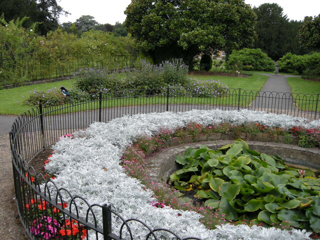
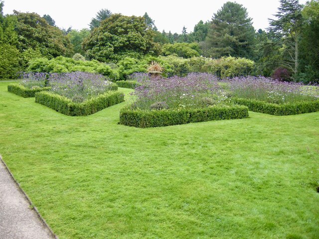
The village is characterized by its dense woodlands, which cover a significant portion of the area. These woodlands consist mainly of oak, beech, and pine trees, creating a stunning and diverse landscape that attracts nature enthusiasts and hikers from far and wide. The North Plantation is part of a larger forested region, offering ample opportunities for outdoor activities such as walking, cycling, and wildlife spotting.
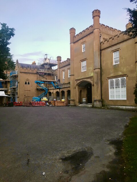
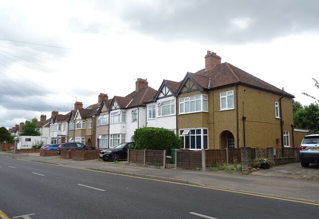
The village itself is relatively small, with a tight-knit community that takes pride in preserving its traditional character. The architecture in North Plantation reflects its historical roots, with many charming cottages and farmhouses dotting the landscape. The village also boasts a quaint local pub, serving as a social hub for residents and visitors alike.
North Plantation is well-connected, with easy access to nearby towns and cities. The village is located just a few miles from the town of Guildford, which offers a range of amenities including shopping centers, restaurants, and cultural attractions. Additionally, the village is within commuting distance of London, making it an attractive location for those seeking a peaceful rural lifestyle while working in the city.
In conclusion, North Plantation, Surrey (Wood, Forest) is a captivating village characterized by its stunning woodlands, traditional architecture, and strong sense of community. With its natural beauty and convenient location, this idyllic village provides an ideal setting for those seeking a peaceful and picturesque place to call home.
If you have any feedback on the listing, please let us know in the comments section below.
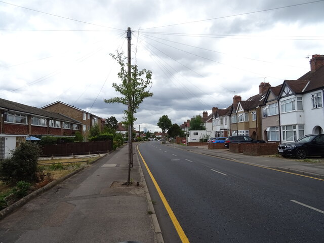
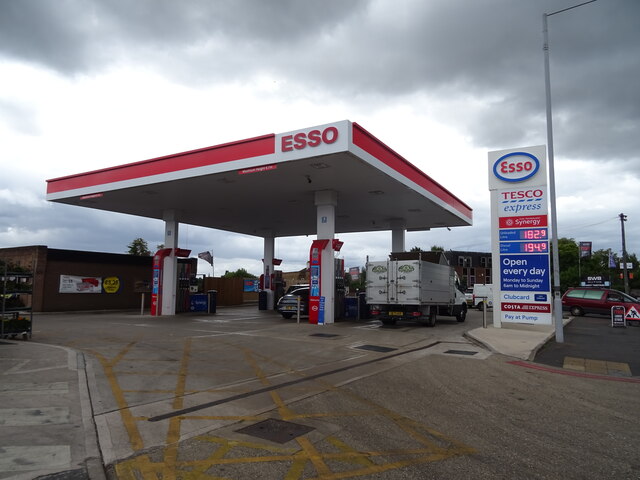
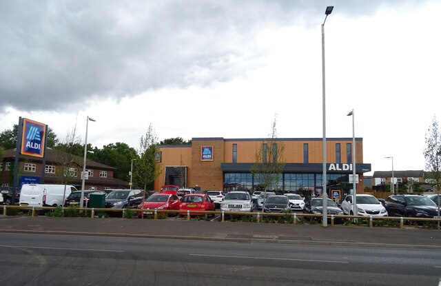
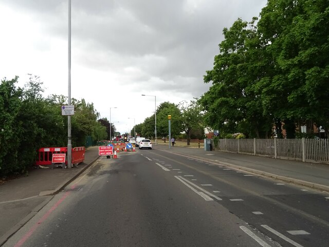
North Plantation Images
Images are sourced within 2km of 51.362739/-0.22750269 or Grid Reference TQ2364. Thanks to Geograph Open Source API. All images are credited.


North Plantation is located at Grid Ref: TQ2364 (Lat: 51.362739, Lng: -0.22750269)
Administrative County: Surrey
District: Epsom and Ewell
Police Authority: Surrey
What 3 Words
///silent.behave.aspect. Near Cheam, London
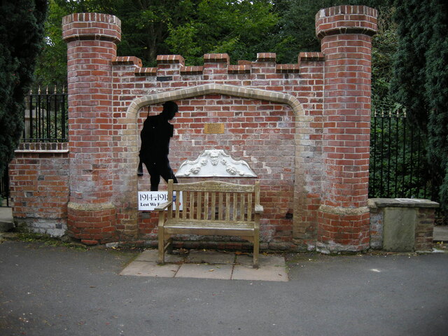
Nearby Locations
Related Wikis

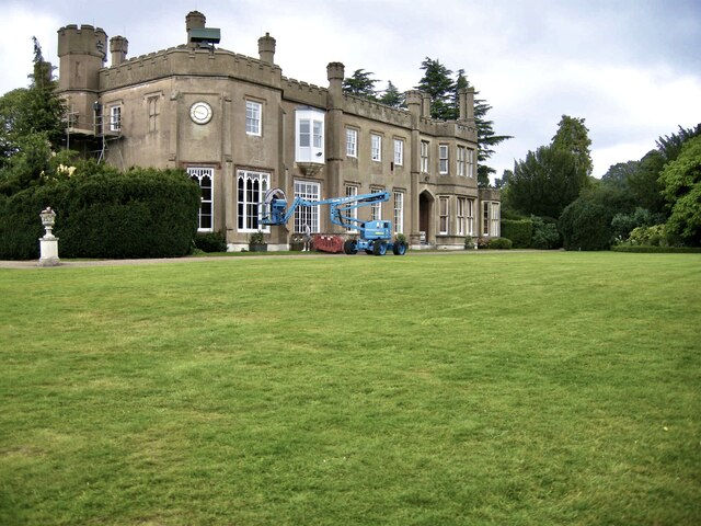
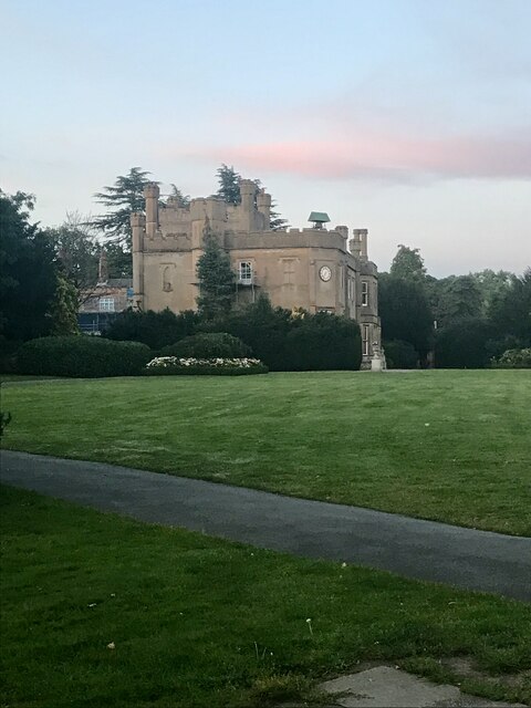
Nonsuch Mansion
Nonsuch Mansion is a historic house located within Nonsuch Park in north Surrey, England near the boundary with Greater London. It is in the borough of...

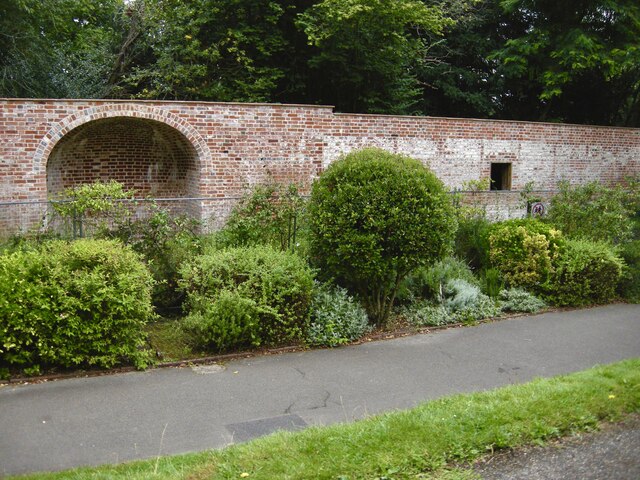
Nonsuch Park
Nonsuch Park is a public park between Stoneleigh, Cheam, and Ewell in the borough of Epsom and Ewell in Surrey, England. It borders the London Borough...

Cuddington, Surrey
Cuddington was a village in Surrey which was demolished to make way for Henry VIII's Nonsuch Palace near Cheam. Cuddington lay within the Copthorne hundred...

Whitehall, Cheam
Whitehall is a timber-framed historic house museum in the centre of Cheam Village, Sutton, Greater London. It is thought to have been a wattle and daub...
Nearby Amenities
Located within 500m of 51.362739,-0.22750269Have you been to North Plantation?
Leave your review of North Plantation below (or comments, questions and feedback).