Cuckoo Wood

Wood, Forest in Hertfordshire Stevenage

England

Cuckoo Wood

Edge of Stevenage Taken from TL 237 268 looking towards Lister Hospital in the distance
Edge of Stevenage Credit: Paul Dixon

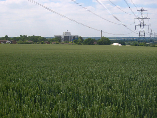
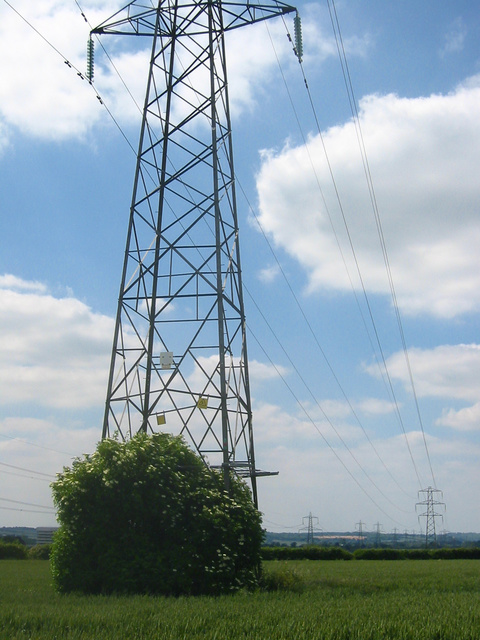
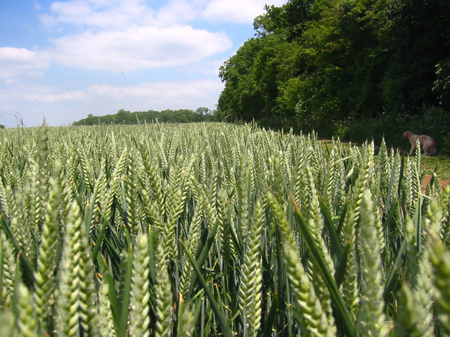
Cuckoo Wood is a picturesque woodland located in Hertfordshire, England. Covering an area of approximately 100 acres, the wood is nestled within the beautiful countryside, offering visitors a peaceful and tranquil environment to explore and enjoy.

The wood is primarily composed of native deciduous trees, such as oak, beech, and birch, which create a dense and diverse canopy overhead. This provides a sheltered habitat for a variety of wildlife species, including birds, mammals, and insects. Visitors to Cuckoo Wood can often spot woodpeckers, owls, and various songbirds, as well as deer and foxes.

The wood features a network of well-maintained trails and footpaths, allowing visitors to easily navigate through the woodland. These paths wind through the trees, offering stunning views of the surrounding landscape and opportunities for nature enthusiasts to observe the flora and fauna up close.

Cuckoo Wood is also known for its seasonal displays of wildflowers, which carpet the forest floor with vibrant colors during the spring and summer months. Bluebells, primroses, and daffodils are just a few of the many species that thrive in the wood, creating a visually captivating experience for visitors.

The woodland is a popular destination for outdoor activities such as walking, jogging, and picnicking. Its peaceful atmosphere and natural beauty make it an ideal spot for individuals and families to unwind and reconnect with nature.

Overall, Cuckoo Wood in Hertfordshire offers a charming and idyllic woodland experience, providing a sanctuary for wildlife and a haven for visitors seeking tranquility and natural beauty.

If you have any feedback on the listing, please let us know in the comments section below.
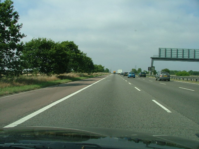
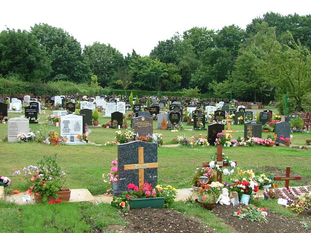
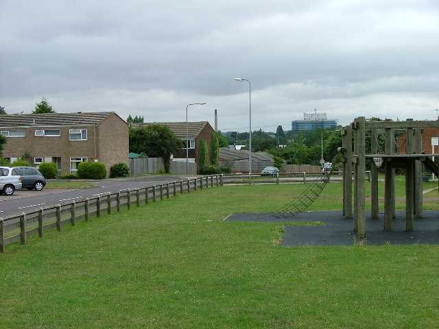
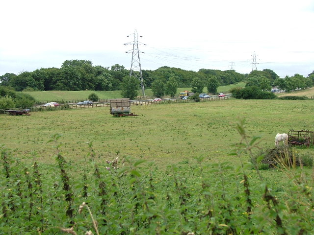
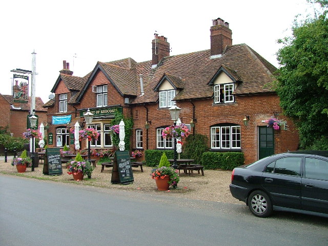
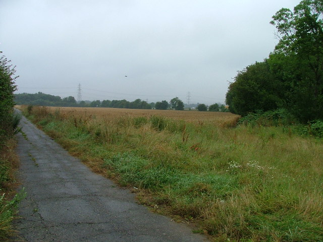
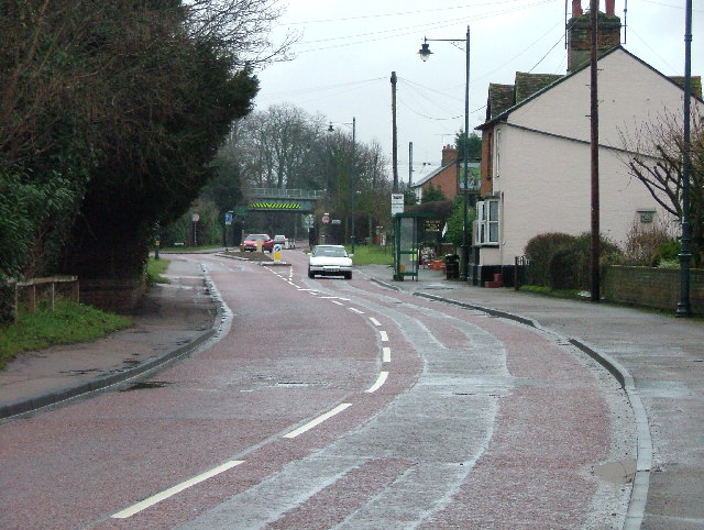
Cuckoo Wood Images

Images are sourced within 2km of 51.924225/-0.20688046 or Grid Reference TL2326. Thanks to Geograph Open Source API. All images are credited.

Edge of Stevenage Taken from TL 237 268 looking towards Lister Hospital in the distance
Edge of Stevenage
Taken from TL 237 268 looking towards Lister Hospital in the distance
Graveley Pylons Taken from TL 239 270 between Graveley and Stevenage, this line of pylons is running towards Hitchin, although the one in the foreground seems to morphing into a tree!
Graveley Pylons
Taken from TL 239 270 between Graveley and Stevenage, this line of pylons is running towards Hitchin, although the one in the foreground seems to morphing into a tree!
Ten Acre Plantation, Graveley Taken from  TL 241 275 looking NE, you can sometimes see deer hopping through the wheat!
Ten Acre Plantation, Graveley
Taken from TL 241 275 looking NE, you can sometimes see deer hopping through the wheat!
Stevenage  Old Town Old towns suffer from the motor car especially when nose in parking is the rule
Stevenage Old Town
Old towns suffer from the motor car especially when nose in parking is the rule
A1(M) This really is the most interesting feature of this square, and the best thing to come out of Stevenage.
A1(M)
This really is the most interesting feature of this square, and the best thing to come out of Stevenage.
Hampson Park / Pin Green Water Tower. Although this water tower is right on the edge of this square I have used it because it dominates the locality.  The large flat construction on the left, behind the fence, is a covered reservoir.  The tower is now bristling with aerials of all sorts.
Hampson Park / Pin Green Water Tower.
Although this water tower is right on the edge of this square I have used it because it dominates the locality. The large flat construction on the left, behind the fence, is a covered reservoir. The tower is now bristling with aerials of all sorts.
Weston Rd Cemetery Although Weston Rd Cemetery takes up a relatively small portion of this square, Stevenage has lots and lots of houses but only two cemeteries.
Weston Rd Cemetery
Although Weston Rd Cemetery takes up a relatively small portion of this square, Stevenage has lots and lots of houses but only two cemeteries.
Scarborough Avenue playground. Taken from Scarborough Avenue playground, in the distance, past the houses, the Lister Hospital (TL2226) can be seen.
Scarborough Avenue playground.
Taken from Scarborough Avenue playground, in the distance, past the houses, the Lister Hospital (TL2226) can be seen.
A1(M) from Shangri  La Shangri La is actually the name of the Turkey farm just to the left of the place that the photograph was taken from.  Within a moment or two the horse to the left  spotted me and decided that I might be a good source of mints.
A1(M) from Shangri La
Shangri La is actually the name of the Turkey farm just to the left of the place that the photograph was taken from. Within a moment or two the horse to the left spotted me and decided that I might be a good source of mints.
Hermit of Redcoats at Titmore Green A well thought of local hostelry and restaurant.  I had considered submitting the duck pond the other side of the road but The Hermit is better known.
Hermit of Redcoats at Titmore Green
A well thought of local hostelry and restaurant. I had considered submitting the duck pond the other side of the road but The Hermit is better known.
St Mary's Church, Gravely Behind this church is Stevenage International Airport (actually a grass airstrip in a field used by microlights).
St Mary's Church, Gravely
Behind this church is Stevenage International Airport (actually a grass airstrip in a field used by microlights).
Grinders End, Gravely This photograph is taken from Grinders end looking towards the A1(M) photo for this square.  The gantry in the other photo is hidden just behind the bushes on the right.
Grinders End, Gravely
This photograph is taken from Grinders end looking towards the A1(M) photo for this square. The gantry in the other photo is hidden just behind the bushes on the right.
Little Wymondley - Railway bridge and street. This used to be the main Stevenage - Hitchin road.  There is now a bypass and as a result the village is much quieter.  This view is facing west down the street towards the railway bridge.
Little Wymondley - Railway bridge and street.
This used to be the main Stevenage - Hitchin road. There is now a bypass and as a result the village is much quieter. This view is facing west down the street towards the railway bridge.
The Transfiguration of Our Lord  Catholic Church.  Grove Road Stevenage. This modern catholic church is a bit oddly placed in a residential street.  Oh Lord won't you buy me a Peugeot 206.
The Transfiguration of Our Lord Catholic Church. Grove Road Stevenage.
This modern catholic church is a bit oddly placed in a residential street. Oh Lord won't you buy me a Peugeot 206.
Bunyan Baptist Church.  Basil's Road, Stevenage. Dominates this open space on the corner of a couple of streets.
Bunyan Baptist Church. Basil's Road, Stevenage.
Dominates this open space on the corner of a couple of streets.
Middle Row, Stevenage. A 19th century pedestrian precinct?  Shown on the OS map as a footpath.
Middle Row, Stevenage.
A 19th century pedestrian precinct? Shown on the OS map as a footpath.
Letchmore infants and nursery school.  Letchmore Rd, Stevenage One of Stevenage's many, many schools.
Letchmore infants and nursery school. Letchmore Rd, Stevenage
One of Stevenage's many, many schools.
The Barclay School. This school is tucked away behind houses.  There is plenty of graffiti on the school sign.
The Barclay School.
This school is tucked away behind houses. There is plenty of graffiti on the school sign.
Show me another place!

Cuckoo Wood is located at Grid Ref: TL2326 (Lat: 51.924225, Lng: -0.20688046)

Administrative County: Hertfordshire

District: Stevenage

Police Authority: Hertfordshire

What 3 Words

///nurse.pushes.adjust. Near Stevenage, Hertfordshire

Nearby Locations

Cuckoo Wood

Related Wikis

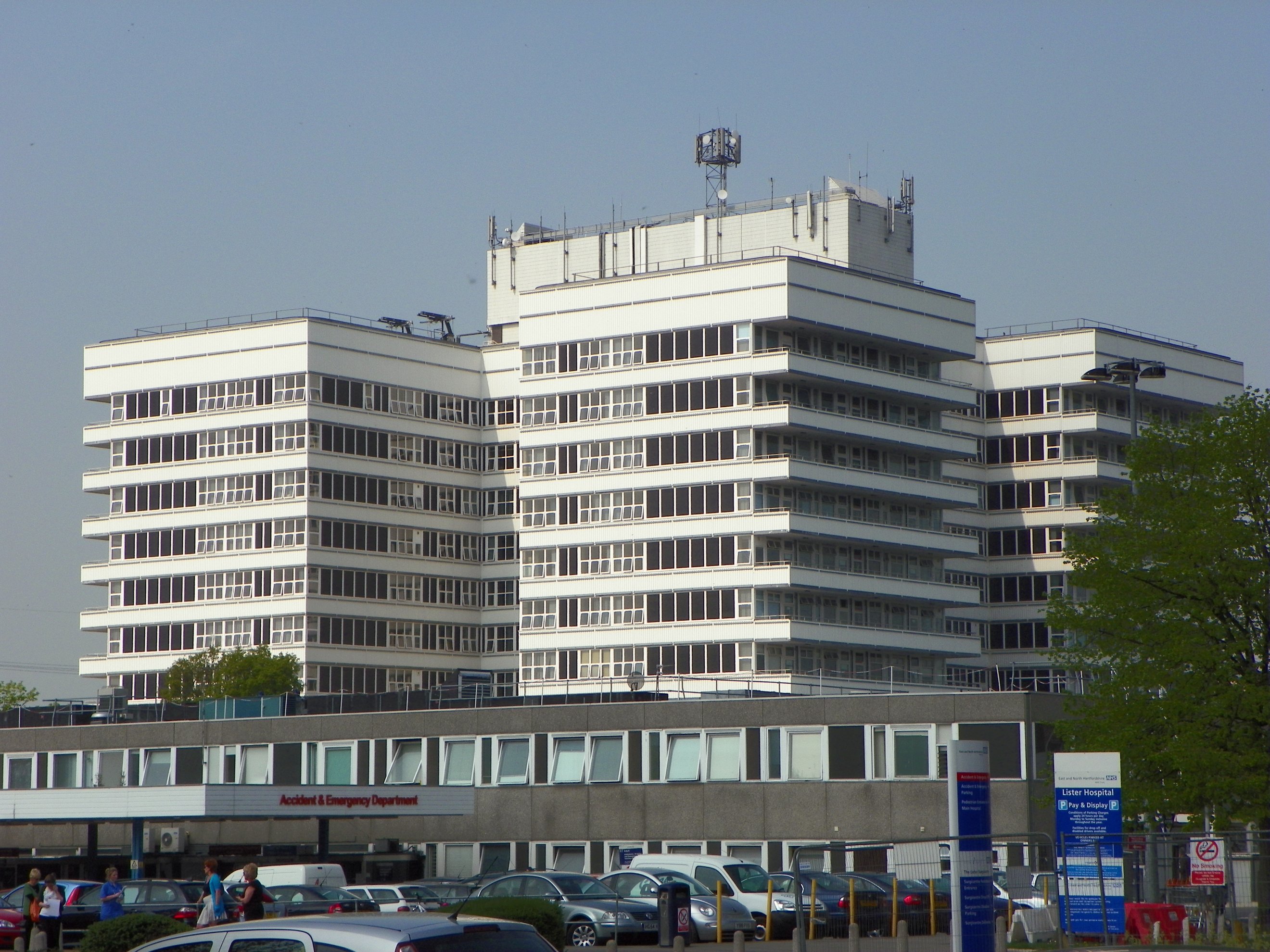
Lister Hospital, Stevenage

The Lister Hospital is an NHS hospital based on the outskirts of Stevenage in Hertfordshire. It is operated by the East and North Hertfordshire NHS Trust...

The Saint John Henry Newman Catholic School

The Saint John Henry Newman School is a Roman Catholic secondary school with academy status in Stevenage, Hertfordshire, England. In its most recent Ofsted...

St Nicholas' Church, Stevenage

St Nicholas' Church is an Anglican parish church in Stevenage, a town in Hertfordshire, England. It occupies a hilltop site above Old Stevenage. It is...

The Thomas Alleyne Academy

The Thomas Alleyne Academy is an Academy in Stevenage, Hertfordshire, England. It was founded in 2013, but can trace its roots back to 1558, when the...

Rooks Nest House

Rooks Nest House is a house on Weston Road, Stevenage, Hertfordshire. It was the childhood home of the author E. M. Forster (1879–1970) who described it...

The Traveller Movement

The Traveller Movement (TM) is a charity based in the United Kingdom that supports the Gypsy, Roma and Traveller (GRT) community and challenge discrimination...

Barclay Academy

Barclay Academy is a secondary school and sixth form located in Stevenage, Hertfordshire, England. The current head teacher is Dr. Matthew Laban. Opening...

Graveley, Hertfordshire

Graveley is a village and civil parish about four miles east of Hitchin and two miles north of Stevenage in Hertfordshire, England. The population of the...

Nearby Amenities

Located within 500m of 51.924225,-0.20688046
Mini Roundabout
Direction: clockwise
Lat/Long: 51.9224506/-0.2088595
Mini Roundabout
Direction: clockwise
Lat/Long: 51.9227615/-0.2089028
Power: tower
Source: Bing
Lat/Long: 51.9278981/-0.2036881
Parking
Access: yes
Fee: no
Parking: layby
Lat/Long: 51.9269462/-0.2095568
Power: tower
Lat/Long: 51.9268538/-0.2115683
Power: tower
Source: interpolation
Lat/Long: 51.9267898/-0.2062952
Power: tower
Source: observation and estimation
Lat/Long: 51.9279079/-0.2086986
Bus Stop
Lister Hospital
Bench: yes
Lit: yes
Local Ref: A
Naptan AtcoCode: 210021200220
Naptan Bearing: E
Naptan CommonName: Lister Hospital
Naptan Crossing: Lister Hospital
Naptan Indicator: Stop A
Naptan Landmark: Lister Hospital
Naptan NaptanCode: hrtgagpw
Naptan PlusbusZoneRef: STEVNGE
Naptan ShortCommonName: NA
Naptan Street: Lister Hospital
Naptan Verified: no
Public Transport: platform
Shelter: yes
Source: naptan_import
Lat/Long: 51.9231102/-0.2127964
Bus Stop
Lister Hospital
Bench: yes
Bus: yes
Check Date Shelter: 2021-01-02
Lit: yes
Local Ref: B
Naptan AtcoCode: 210021200240
Naptan Bearing: E
Naptan CommonName: Lister Hospital
Naptan Crossing: Lister Hospital
Naptan Indicator: Stop B
Naptan Landmark: Lister Hospital
Naptan NaptanCode: hrtgagta
Naptan PlusbusZoneRef: STEVNGE
Naptan ShortCommonName: NA
Naptan Street: Lister Hospital
Public Transport: platform
Shelter: yes
Source: naptan_import
Lat/Long: 51.9230705/-0.2125507
Bus Stop
Lister Close
Bench: no
Bin: no
Lit: yes
Naptan AtcoCode: 210021200260
Naptan Bearing: N
Naptan CommonName: Lister Close
Naptan Crossing: Chancellors Road
Naptan Indicator: adj
Naptan Landmark: Chancellors Road
Naptan NaptanCode: hrtgagtd
Naptan PlusbusZoneRef: STEVNGE
Naptan ShortCommonName: NA
Naptan Street: North Road
Shelter: no
Source: naptan_import;survey
Tactile Paving: no
Lat/Long: 51.9235861/-0.2091998
Bus Stop
Lister Close
Bench: no
Bin: no
Lit: yes
Naptan AtcoCode: 210021203940
Naptan Bearing: S
Naptan CommonName: Lister Close
Naptan Crossing: Granby Road
Naptan Indicator: opp
Naptan Landmark: Granby Road
Naptan NaptanCode: hrtdwjdp
Naptan PlusbusZoneRef: STEVNGE
Naptan ShortCommonName: NA
Naptan Street: North Road
Naptan Verified: no
Shelter: no
Source: naptan_import;survey
Tactile Paving: no
Lat/Long: 51.9244085/-0.2091898
Barrier: bollard
Lat/Long: 51.9224522/-0.2099944
Crossing
Crossing: unmarked
Crossing Island: yes
Tactile Paving: yes
Lat/Long: 51.9221576/-0.2087961
Crossing
Crossing: unmarked
Crossing Island: yes
Tactile Paving: yes
Lat/Long: 51.9229133/-0.208943
Crossing: informal
Lat/Long: 51.9223682/-0.2049518
Post Box
Check Date: 2021-03-13
Collection Times: Mo-Fr 09:00; Sa 07:00
Post Box Type: pillar
Ref: SG1 124
Royal Cypher: EIIR
Lat/Long: 51.920872/-0.208574
Post Box
Collection Times: Mo-Fr 17:30; Sa 12:30
Post Box Type: indoor_pillar
Ref: SG1 8
Lat/Long: 51.924263/-0.212608
Post Box
Collection Times: Mo-Fr 19:00; Sa 12:00
Post Box Type: pillar
Ref: SG1 14
Lat/Long: 51.923176/-0.203741
Crossing
Crossing Island: yes
Crossing Markings: no
Lat/Long: 51.9277745/-0.2097484
Crossing
Button Operated: yes
Crossing: traffic_signals
Crossing Island: yes
Tactile Paving: yes
Lat/Long: 51.9230893/-0.2139109
Traffic Calming: island
Lat/Long: 51.9246974/-0.2093424
Active4less
Leisure: fitness_centre
Lat/Long: 51.9260594/-0.2104601
Board Type: history
Information: board
Tourism: information
Lat/Long: 51.9229144/-0.1999216
Crossing
Lat/Long: 51.9231029/-0.2133909
Bench
Material: concrete
Seats: 3
Lat/Long: 51.9253482/-0.2124332
Access: yes
Entrance: yes
Lat/Long: 51.9253056/-0.212597
Bench
Backrest: yes
Material: concrete
Seats: 3
Lat/Long: 51.9253496/-0.2124788
Waste Basket
Waste: trash
Lat/Long: 51.9253495/-0.2124569
Emergency Ward Entrance
Addr Street: Coreys Mill
Emergency: emergency_ward_entrance
Entrance: yes
Fixme: Check position
Phone: +44 1438 314333
Website: https://www.enherts-tr.nhs.uk/hospitals/lister/
Lat/Long: 51.9234566/-0.2128959
WHSmith
Addr Street: Coreys Mill Lane
Opening Hours: Mo-Fr 08:00-20:00
Shop: books
Lat/Long: 51.9242484/-0.2124059
Waste Basket
Lat/Long: 51.922903/-0.2123317
Waste Basket
Lat/Long: 51.9230552/-0.2132142
Waste Basket
Lat/Long: 51.9229873/-0.2137922
Information: map
Tourism: information
Lat/Long: 51.9269845/-0.2095154
Waste Basket
Lat/Long: 51.9269696/-0.2095127
Bench
Backrest: yes
Lat/Long: 51.9198832/-0.2085042
Waste Basket
Lat/Long: 51.9202157/-0.2085592
Crossing
Crossing: unmarked
Crossing Island: yes
Kerb: lowered
Tactile Paving: no
Lat/Long: 51.9206168/-0.2086592
Waste Basket
Lat/Long: 51.9213211/-0.2085873
Crossing
Bicycle: yes
Crossing: uncontrolled
Crossing Island: yes
Crossing Markings: zebra
Tactile Paving: yes
Lat/Long: 51.9213964/-0.2086937
Traffic Calming: island
Lat/Long: 51.9224565/-0.2090083
Waste Basket
Lat/Long: 51.9222893/-0.208985
Crossing
Bicycle: yes
Crossing: uncontrolled
Crossing Island: yes
Crossing Markings: zebra
Tactile Paving: yes
Lat/Long: 51.9224629/-0.2091713
Traffic Calming: island
Lat/Long: 51.9227786/-0.208756
Traffic Calming: island
Lat/Long: 51.923836/-0.2091475
Traffic Calming: island
Lat/Long: 51.9254728/-0.2095927
Crossing
Lat/Long: 51.9229038/-0.2122065
Crossing
Lat/Long: 51.9232652/-0.2123944
Crossing
Lat/Long: 51.9233717/-0.2123479
Crossing
Lat/Long: 51.9231197/-0.212458
Bench
Backrest: no
Direction: 195
Material: wood
Lat/Long: 51.9239131/-0.2113067
Crossing
Crossing: unmarked
Crossing Markings: no
Traffic Calming: table
Lat/Long: 51.9204042/-0.2085726
Crossing
Crossing: unmarked
Crossing Markings: no
Traffic Calming: table
Lat/Long: 51.9212783/-0.2086085
Crossing
Crossing: zebra
Crossing Markings: yes
Lat/Long: 51.9200585/-0.208654
The data included in this document is from www.openstreetmap.org. The data is made available under ODbL.

Have you been to Cuckoo Wood?

Leave your review of Cuckoo Wood below (or comments, questions and feedback).