Blackland Copse

Wood, Forest in Sussex Horsham

England

Blackland Copse

The Wheatsheaf A typical country pub just outside Henfield in West Sussex
The Wheatsheaf Credit: Richard Rogerson

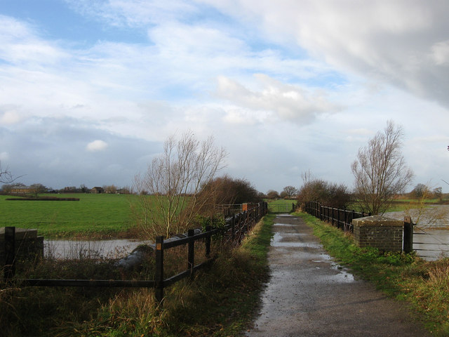
Blackland Copse is a picturesque woodland located in Sussex, England. Covering an area of approximately 50 acres, this enchanting forest is a haven for nature lovers and outdoor enthusiasts. The copse is nestled within the South Downs National Park, offering visitors stunning views of the surrounding countryside.

The woodland is predominantly composed of broadleaf trees, such as oak, beech, and ash, which create a dense canopy overhead. The forest floor is adorned with a rich carpet of ferns, bluebells, and wildflowers, adding to the beauty and tranquility of the area. The diversity of plant life provides a habitat for a wide range of wildlife, including birds, mammals, and insects.

A network of well-maintained footpaths and trails wind their way through the copse, allowing visitors to explore the woodland at their own pace. These paths lead to a variety of scenic spots, including a charming stream that meanders through the forest, adding to the idyllic atmosphere.

Blackland Copse is a popular destination for outdoor activities such as hiking, birdwatching, and photography. Its peaceful ambiance and natural beauty make it an ideal place for a leisurely stroll or a picnic amidst nature. The copse also offers a serene escape from the hustle and bustle of everyday life, providing a space for relaxation and reflection.

Overall, Blackland Copse is a hidden gem in Sussex, offering visitors a chance to immerse themselves in the beauty of nature and experience the tranquility of a woodland setting.

If you have any feedback on the listing, please let us know in the comments section below.

Blackland Copse Images

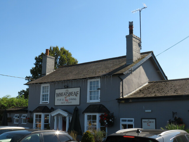
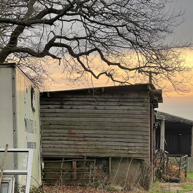
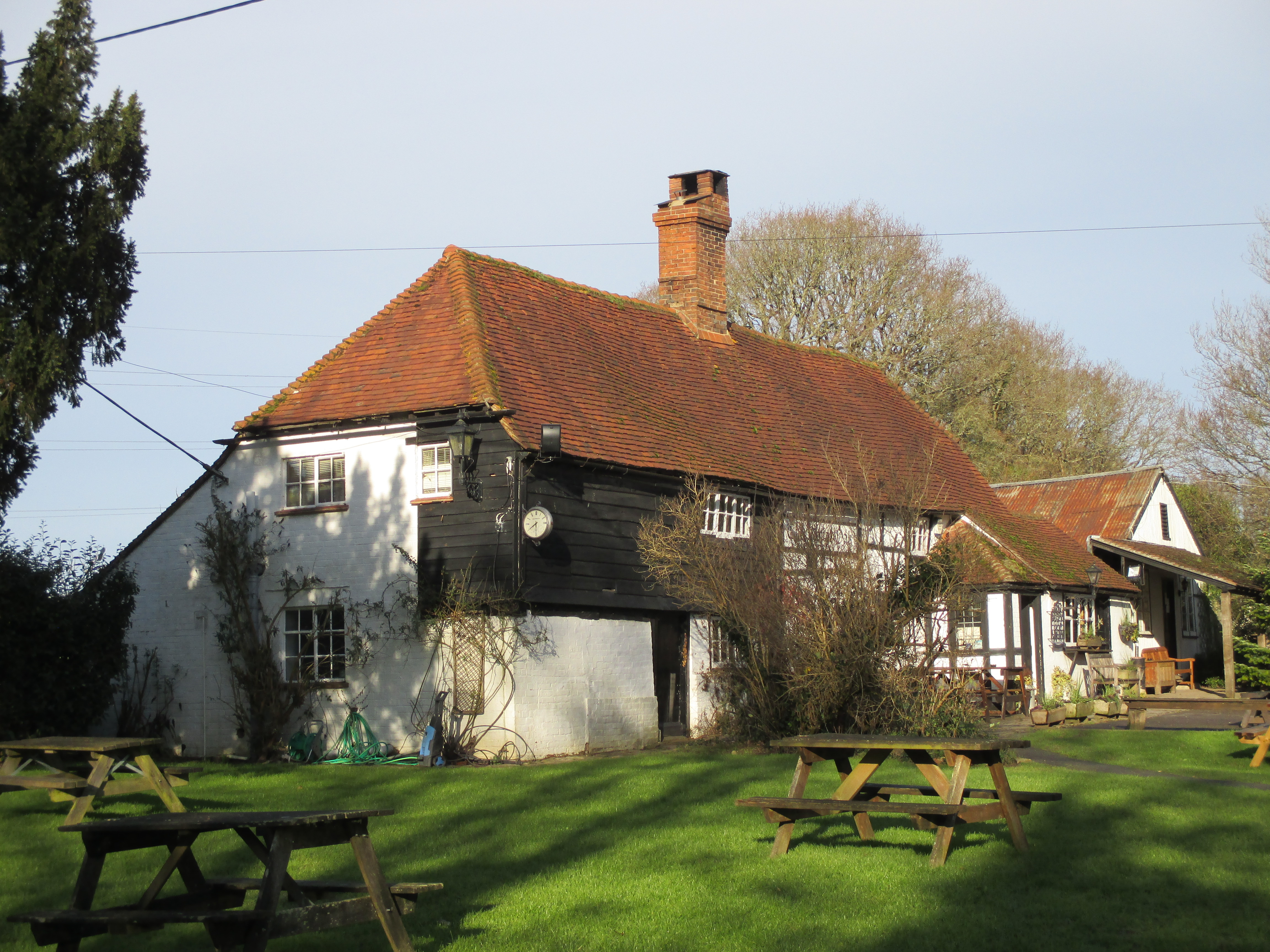
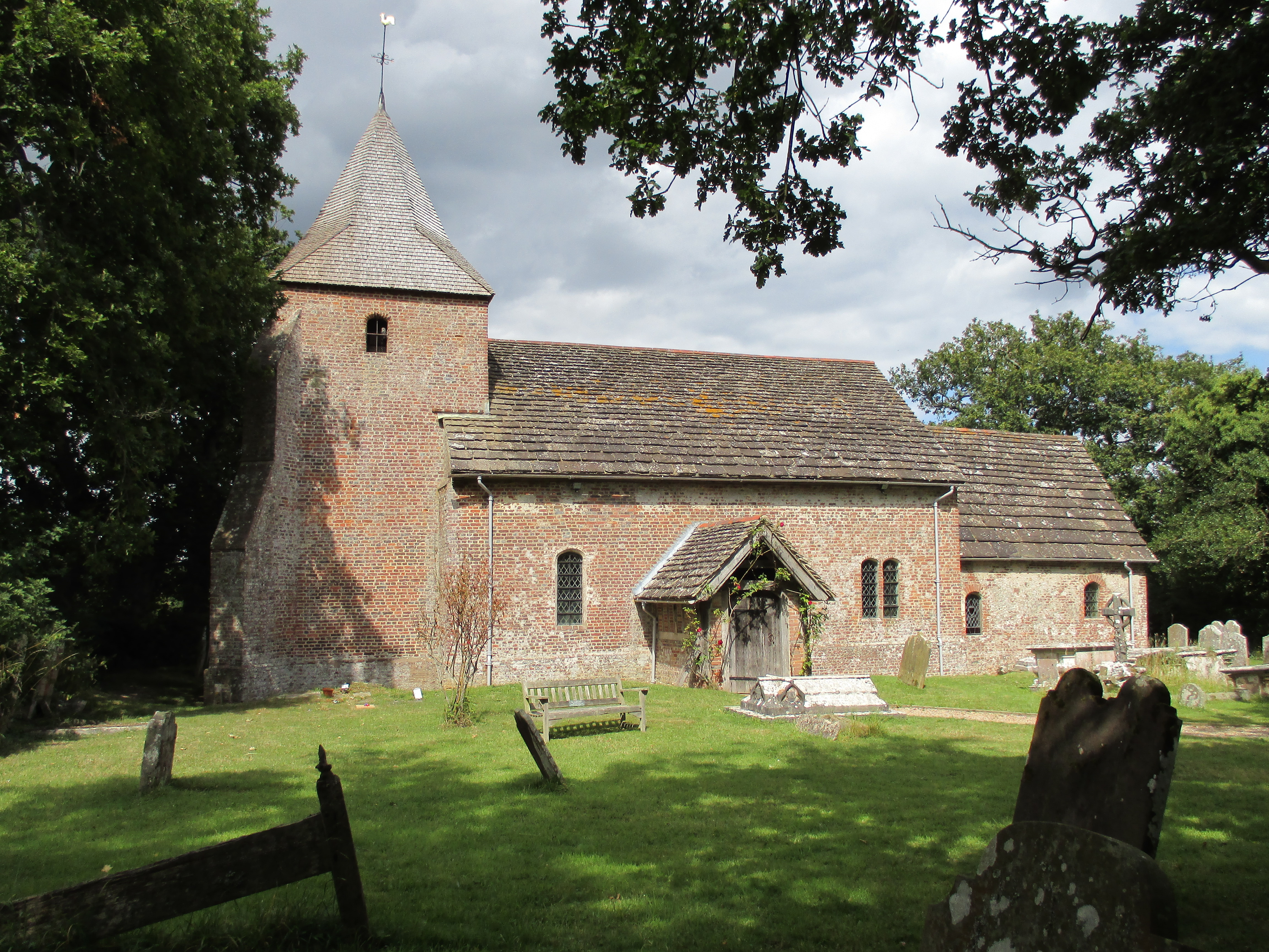
Images are sourced within 2km of 50.950147/-0.24674583 or Grid Reference TQ2318. Thanks to Geograph Open Source API. All images are credited.

The Wheatsheaf A typical country pub just outside Henfield in West Sussex
The Wheatsheaf
A typical country pub just outside Henfield in West Sussex
Outbuildings near Stonelands Farm
View north from the Henfield-Blackstone footpath
View west over farmland north of Furners Lane
Park Farm
Park Farm
View ESE towards Wolstonbury Hill
Scene near the south bank of the River Adur This path is often difficult to follow after heavy rain and flooding. There were no such difficulties today.
Scene near the south bank of the River Adur
This path is often difficult to follow after heavy rain and flooding. There were no such difficulties today.
Tree overhanging the river Adur
Clover near the public footpath This field looked at one stage as though it was being rewilded. It was full of chicory. Now it is full of clover.
Clover near the public footpath
This field looked at one stage as though it was being rewilded. It was full of chicory. Now it is full of clover.
Footpath to Wineham Lane
Enclosed footpath in Wineham going west
View SSE towards Springlands One of the buildings at Springlands can be seen on the left.
View SSE towards Springlands
One of the buildings at Springlands can be seen on the left.
Buckhatch Lane south from Oaklands Farm This is a bridleway which converts into a track further north
Buckhatch Lane south from Oaklands Farm
This is a bridleway which converts into a track further north
Catts Plot The name of the field according to the 1840 tithe map. This small field has been subdivided even further into a garden and a couple of paddocks.
Catts Plot
The name of the field according to the 1840 tithe map. This small field has been subdivided even further into a garden and a couple of paddocks.
Wineham Lane The hamlet of Wineham straggles along the lane on the eastern edge of Shermanbury parish. The lane itself is an ancient droveway that has long formed the boundary of some jurisdiction, initially it divided the Rapes of Bramber and Lewes, then up to 1974 it was the boundary between East and West Sussex. Currently it is the dividing line between Horsham and Mid Sussex district councils as well as being the parochial boundary between Twineham and Shermanbury. The cottages on the right are numbered 95 and 96.
Wineham Lane
The hamlet of Wineham straggles along the lane on the eastern edge of Shermanbury parish. The lane itself is an ancient droveway that has long formed the boundary of some jurisdiction, initially it divided the Rapes of Bramber and Lewes, then up to 1974 it was the boundary between East and West Sussex. Currently it is the dividing line between Horsham and Mid Sussex district councils as well as being the parochial boundary between Twineham and Shermanbury. The cottages on the right are numbered 95 and 96.
Great Meadow The name of the field according to the 1840 tithe map that lies to the north of Springlands.
Great Meadow
The name of the field according to the 1840 tithe map that lies to the north of Springlands.
Little Meadow The name of the field according to the 1840 tithe map lying to the south of Great Meadow.
Little Meadow
The name of the field according to the 1840 tithe map lying to the south of Great Meadow.
Footbridge near Springlands The footpath from Kent Street takes a detour west around Springlands travelling through this unnamed shaw and crossing a minor stream that is little more than a trickle.
Footbridge near Springlands
The footpath from Kent Street takes a detour west around Springlands travelling through this unnamed shaw and crossing a minor stream that is little more than a trickle.
Show me another place!

Blackland Copse is located at Grid Ref: TQ2318 (Lat: 50.950147, Lng: -0.24674583)

Administrative County: West Sussex

District: Horsham

Police Authority: Sussex

What 3 Words

///refutes.flaunting.refreshed. Near Henfield, West Sussex

Related Wikis

Wineham

Wineham is a hamlet mainly in the Shermanbury civil parish (and the same ecclesiastical parish) of the Horsham district of West Sussex, England. It is...

Blackstone, West Sussex

Blackstone is a hamlet in the civil parish of Woodmancote and the Horsham district of West Sussex, England. Blackstone is significant for its listed...

St Peter's Church, Twineham

St Peter's Church is the Church of England parish church of Twineham, a village in the Mid Sussex District of West Sussex, England. The church, with St...

Twineham

Twineham is a village and civil parish in the Mid Sussex District of West Sussex, England. It is located eight kilometres (5 miles) to the west of Burgess...

Henfield

Henfield is a large village and civil parish in the Horsham District of West Sussex, England. It lies 41 miles (66 km) south of London, 12 miles (19 km...

St Peter's Church, Henfield

St Peter's Church is a Church of England parish church in the large village of Henfield, West Sussex. Placed on the site of an 8th-century Saxon church...

Shermanbury

Shermanbury is a village and civil parish in the Horsham District of West Sussex, England. It lies on the A281 road approximately 2 miles (3 km) north...

Betley Bridge

Betley Bridge is a disused railway bridge, now a rail trail bridge, which crosses the confluence of the East and West Adur rivers North of Henfield in...

Nearby Amenities

Located within 500m of 50.950147,-0.24674583
Post Box
Collection Times: Mo-Fr 16:00; Sa 09:30
Operator: Royal Mail
Post Box Mounting: pier
Post Box Type: lamp
Ref: BN5 1351
Royal Cypher: EIIR
Royal Cypher Wikidata: Q33102113
Lat/Long: 50.9499241/-0.2403004
Barrier: kissing_gate
Lat/Long: 50.9499819/-0.2451356
Barrier: kissing_gate
Lat/Long: 50.9507285/-0.245634
Barrier: kissing_gate
Lat/Long: 50.94977/-0.2446164
Socket Unknown: yes
Lat/Long: 50.9516073/-0.2487453
Socket Unknown: yes
Lat/Long: 50.9517057/-0.2483487
Socket Unknown: yes
Lat/Long: 50.951273/-0.2483967
Socket Unknown: yes
Lat/Long: 50.9518918/-0.2480104
Socket Unknown: yes
Lat/Long: 50.9519903/-0.2478473
Socket Unknown: yes
Lat/Long: 50.9520681/-0.2476927
Socket Unknown: yes
Lat/Long: 50.9521525/-0.2475124
Socket Unknown: yes
Lat/Long: 50.9517934/-0.2481787
Socket Unknown: yes
Lat/Long: 50.951656/-0.2485822
Drinking Water: yes
Drinking Water Legal: yes
Man Made: water_tap
Lat/Long: 50.9512676/-0.2481272
Man Made: water_tap
Lat/Long: 50.9521373/-0.2479109
Socket Unknown: yes
Lat/Long: 50.950702/-0.2480744
Socket Unknown: yes
Lat/Long: 50.9509548/-0.2482595
Man Made: water_tap
Lat/Long: 50.9508037/-0.2481455
Socket Unknown: yes
Lat/Long: 50.9510463/-0.2472598
Socket Unknown: yes
Lat/Long: 50.9511995/-0.2465237
Socket Unknown: yes
Lat/Long: 50.9512971/-0.2464941
Drinking Water: yes
Drinking Water Legal: yes
Man Made: water_tap
Lat/Long: 50.9517806/-0.2458484
Drinking Water: yes
Drinking Water Legal: yes
Man Made: water_tap
Lat/Long: 50.9515091/-0.2465368
Turning Loop
Lat/Long: 50.9493775/-0.2415158
The data included in this document is from www.openstreetmap.org. The data is made available under ODbL.

Have you been to Blackland Copse?

Leave your review of Blackland Copse below (or comments, questions and feedback).