Hillfield Plantation

Wood, Forest in Huntingdonshire Huntingdonshire

England

Hillfield Plantation

St Margarets Church - Abbotsley Photo taken after the two huge chestnut trees were cut back to reveal the Church in all its splendour. The church has undergone a long period of restoration bringing it back from near dereliction.
St Margarets Church - Abbotsley Credit: Steve Jaikens

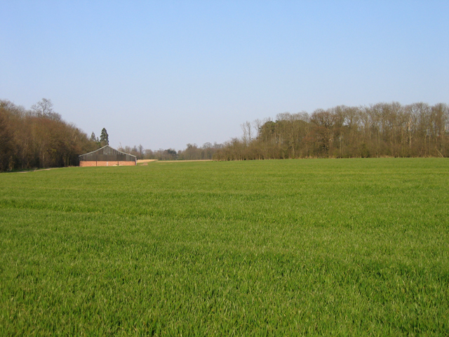
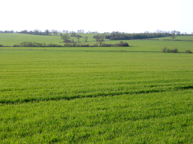
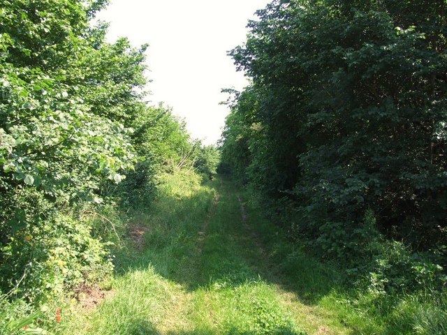
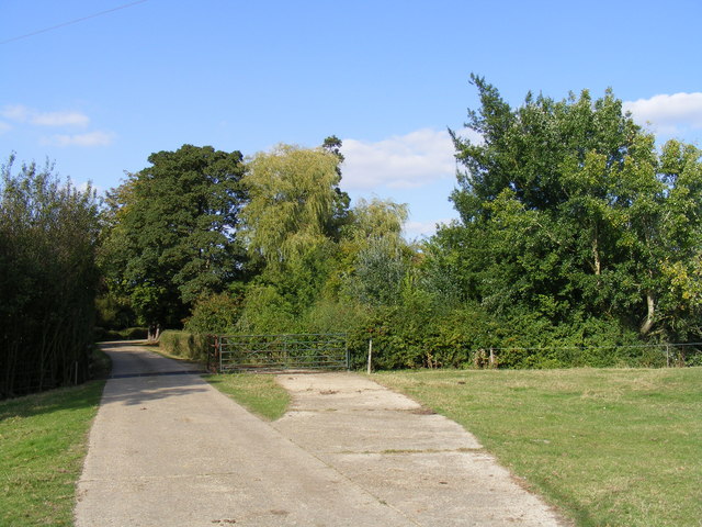
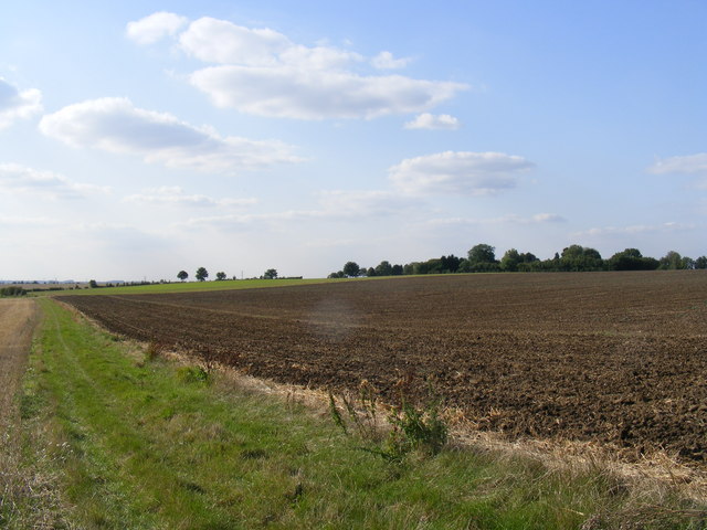
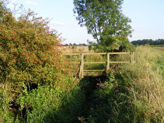
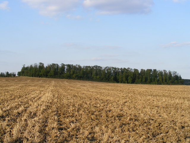
Hillfield Plantation, located in Huntingdonshire, is a picturesque woodland area that covers a vast expanse of land. Spread over several acres, it is known for its diverse and thriving ecosystem, making it a popular destination for nature enthusiasts and wildlife lovers.

The plantation is predominantly made up of dense, mature trees that include oak, beech, and pine, creating a lush and verdant environment. These towering trees provide a natural canopy, allowing sunlight to filter through and nourish the undergrowth, which is teeming with a variety of plants and flowers.

The woodland is home to a wide range of animal species, both large and small. Deer, foxes, badgers, and rabbits are commonly spotted in the plantation, while a multitude of bird species can be observed soaring through the skies or nesting in the branches above. The area is also known for its abundant insect life, with butterflies and bees attracted to the blooming flowers.

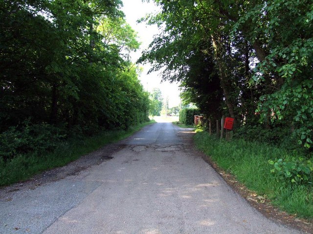
Hillfield Plantation offers numerous walking trails and pathways, allowing visitors to explore the beauty of the woodland at their own pace. The peaceful and serene atmosphere, coupled with the sound of birdsong and rustling leaves, creates a tranquil environment that is perfect for relaxation and contemplation.

Managed by local authorities, the plantation is committed to preserving its natural heritage and protecting the wildlife that inhabits it. Regular maintenance and conservation efforts ensure that the woodland remains a thriving and sustainable ecosystem for generations to come.

In conclusion, Hillfield Plantation in Huntingdonshire is a breathtaking woodland area that offers a rich and diverse natural habitat. Its towering trees, vibrant undergrowth, and abundant wildlife make it a must-visit destination for those seeking a connection with nature.

If you have any feedback on the listing, please let us know in the comments section below.

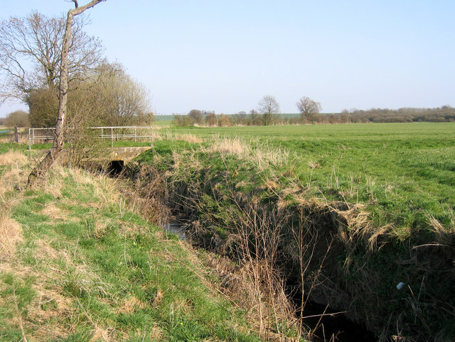
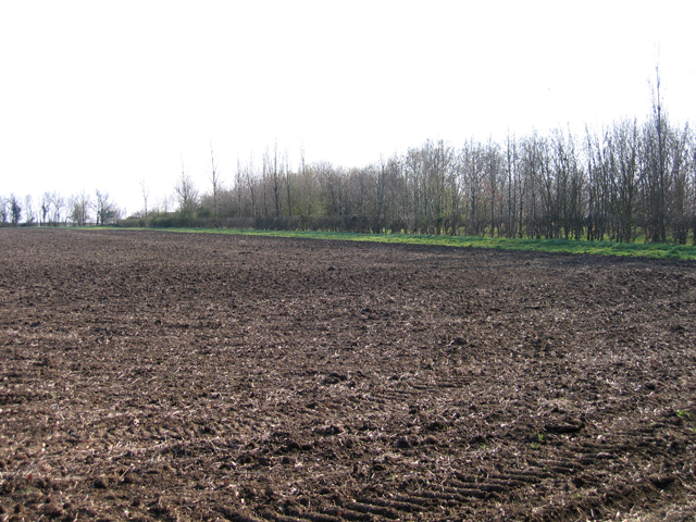
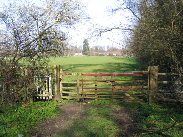
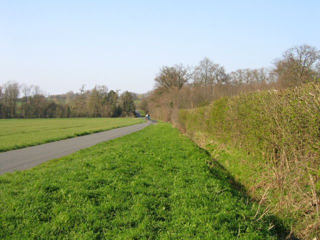
Hillfield Plantation Images

Images are sourced within 2km of 52.210472/-0.20022158 or Grid Reference TL2358. Thanks to Geograph Open Source API. All images are credited.

St Margarets Church - Abbotsley Photo taken after the two huge chestnut trees were cut back to reveal the Church in all its splendour. The church has undergone a long period of restoration bringing it back from near dereliction.
St Margarets Church - Abbotsley
Photo taken after the two huge chestnut trees were cut back to reveal the Church in all its splendour. The church has undergone a long period of restoration bringing it back from near dereliction.
New Row - High Street - Abbotsley The farthest end dwelling was the Butchers and Grocers and the Post Office. It is now a house.
New Row - High Street - Abbotsley
The farthest end dwelling was the Butchers and Grocers and the Post Office. It is now a house.
Carved wooden Village Sign This wooden Sign was donated by the Abbotsley Society in 1984 and is situated at Eight Bells corner. (Opposite the pub of the same name)
Carved wooden Village Sign
This wooden Sign was donated by the Abbotsley Society in 1984 and is situated at Eight Bells corner. (Opposite the pub of the same name)
Village Hall - Abbotsley Above the door is a sign proclaiming "Best kept Village 1993"
Village Hall - Abbotsley
Above the door is a sign proclaiming "Best kept Village 1993"
Abbotsley Brook, Abbotsley, Cambs a tributary of the River Gt Ouse, looking upstream where it is crossed by Abbotsley Road.
Abbotsley Brook, Abbotsley, Cambs
a tributary of the River Gt Ouse, looking upstream where it is crossed by Abbotsley Road.
Farmland from Cambridge Road, Croxton, Cambs – view SSE across the West Cambs Chalky Boulder Clay plateau towards Weald Medieval Village site.
Farmland from Cambridge Road, Croxton, Cambs
– view SSE across the West Cambs Chalky Boulder Clay plateau towards Weald Medieval Village site.
Footpath to Croxton, Cambs across pasture, from Abbotsley Road towards High Street.
Footpath to Croxton, Cambs
across pasture, from Abbotsley Road towards High Street.
Abbotsley Road, Croxton, Cambs – view N across the valley draining Croxton Park.
Abbotsley Road, Croxton, Cambs
– view N across the valley draining Croxton Park.
Wheat field and plantations, Croxton, Cambs Farm building between Two Leys and Long Plantation, viewed from Abbotsley Road.
Wheat field and plantations, Croxton, Cambs
Farm building between Two Leys and Long Plantation, viewed from Abbotsley Road.
Landscape with wheat fields, Croxton, Cambs – view NW from Abbotsley Road; upper slopes and plateau are Chalky Boulder Clay while lower valley slopes are Jurassic clay.
Landscape with wheat fields, Croxton, Cambs
– view NW from Abbotsley Road; upper slopes and plateau are Chalky Boulder Clay while lower valley slopes are Jurassic clay.
Entrance to Wintringham Hall and Farm
Drey House care home.
The long drive to Manor Farm
RUPP through Hail Lane Plantation
Caldecote Manor Farm near Abbotsley The farm buildings at the approach to the manor are hidden by the trees in the extensive garden - and there is a moat in there somewhere too.
Caldecote Manor Farm near Abbotsley
The farm buildings at the approach to the manor are hidden by the trees in the extensive garden - and there is a moat in there somewhere too.
Footpath from Hail Lane Abbotsley to St Neots The straighforward path in the picture has replaced the complex of paths marked on the map, probably due to agricultural rationalisation and disappearing hedges. The view north-westwards includes Lower Wintringham, hidden by trees on the skyline.
Footpath from Hail Lane Abbotsley to St Neots
The straighforward path in the picture has replaced the complex of paths marked on the map, probably due to agricultural rationalisation and disappearing hedges. The view north-westwards includes Lower Wintringham, hidden by trees on the skyline.
Abbotsley Brook The footbridge carries the footpath from Abbotsley to Croxton across Abbotsley Brook.
Abbotsley Brook
The footbridge carries the footpath from Abbotsley to Croxton across Abbotsley Brook.
Rectangular Copse between Caldecote Manor and Croxton
Show me another place!

Hillfield Plantation is located at Grid Ref: TL2358 (Lat: 52.210472, Lng: -0.20022158)

Administrative County: Cambridgeshire

District: Huntingdonshire

Police Authority: Cambridgeshire

What 3 Words

///surely.factually.haggis. Near St Neots, Cambridgeshire

Related Wikis

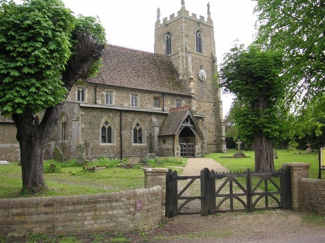
St Margaret's Church, Abbotsley

St Margaret's Church is a historic Anglican church in the village of Abbotsley, Cambridgeshire, England. It is recorded in the National Heritage List...
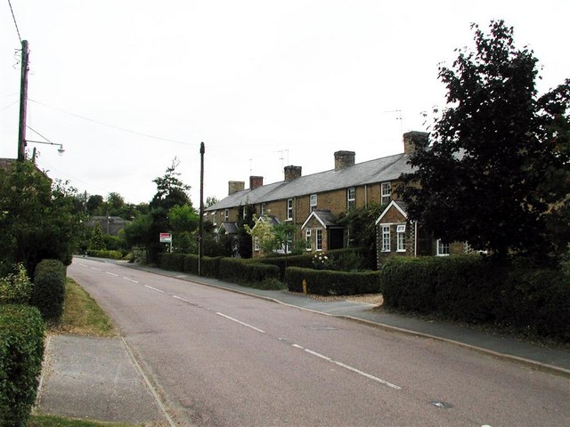
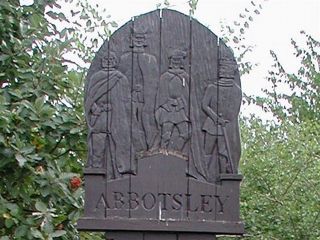
Abbotsley

Abbotsley is a village and civil parish within the Huntingdonshire district of Cambridgeshire, England. It is three miles from St Neots and 14 miles from...

Croxton, Cambridgeshire

Croxton is a village and civil parish about 13 miles (21 km) west of Cambridge in South Cambridgeshire, England. In 2001, the resident population was 163...

Eynesbury Hardwicke

Eynesbury Hardwicke is a former civil parish, now in the parishes of Abbotsley and St Neots, in the Huntingdonshire part of Cambridgeshire, England. At...

Nearby Amenities

Located within 500m of 52.210472,-0.20022158
Power: pole
Lat/Long: 52.2109908/-0.2074796
The data included in this document is from www.openstreetmap.org. The data is made available under ODbL.

Have you been to Hillfield Plantation?

Leave your review of Hillfield Plantation below (or comments, questions and feedback).