Langlands Plantation
Wood, Forest in Huntingdonshire Huntingdonshire
England
Langlands Plantation
The requested URL returned error: 429 Too Many Requests
If you have any feedback on the listing, please let us know in the comments section below.
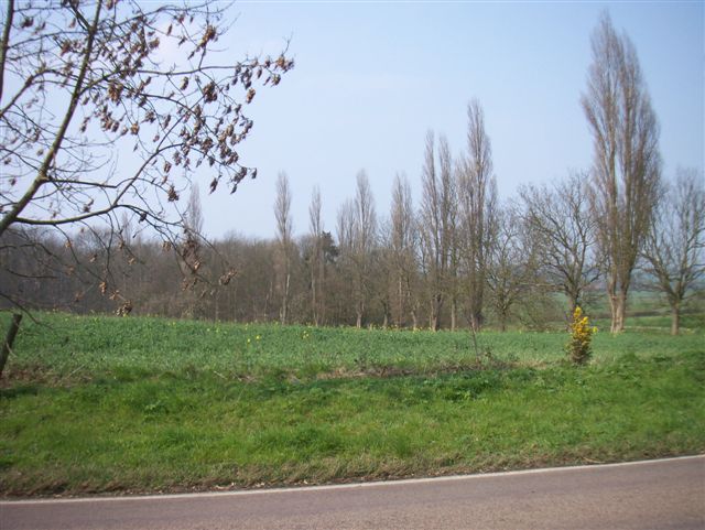
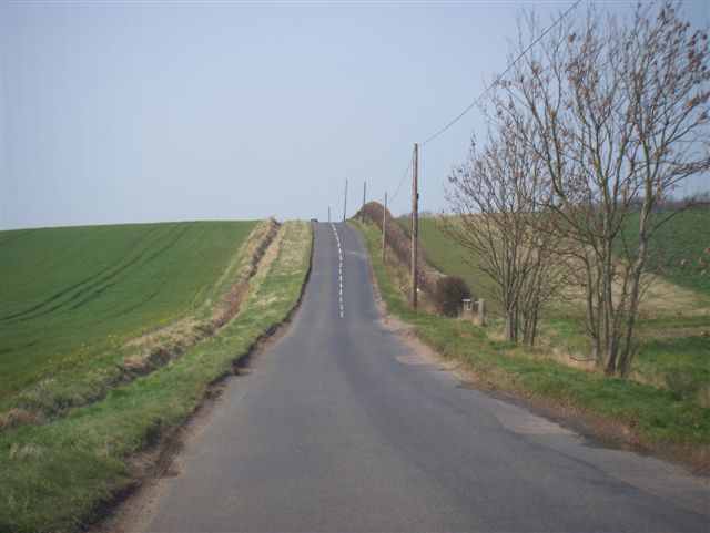
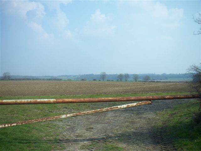
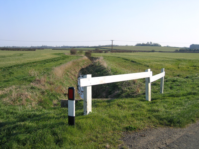
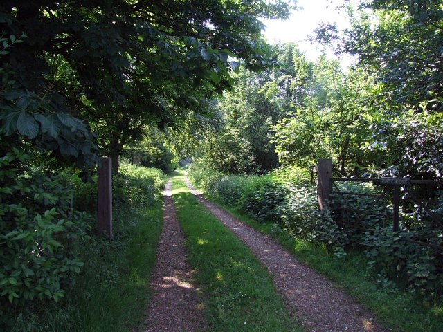
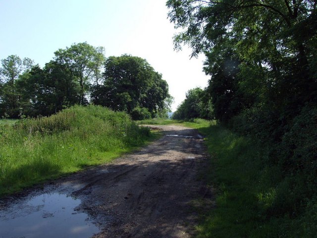
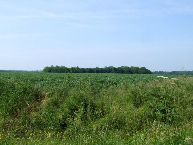
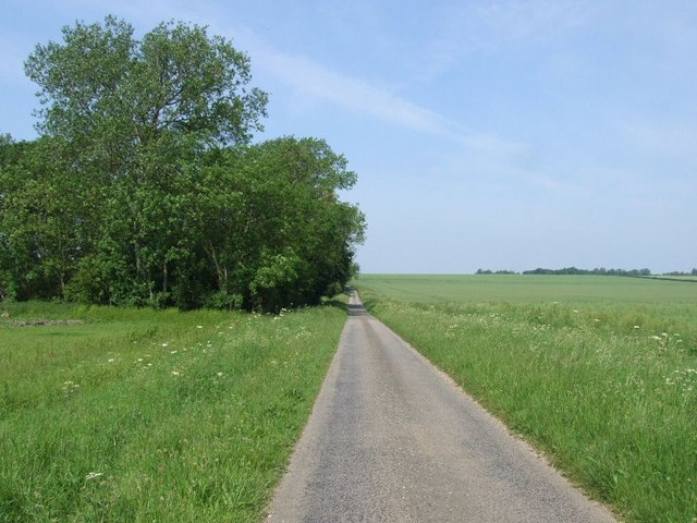
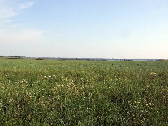
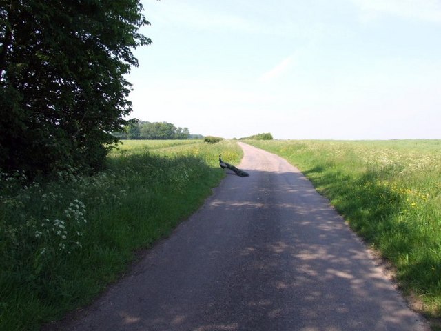
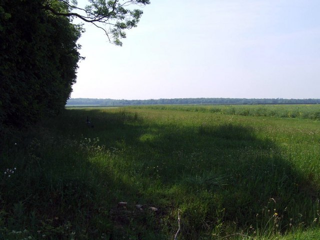
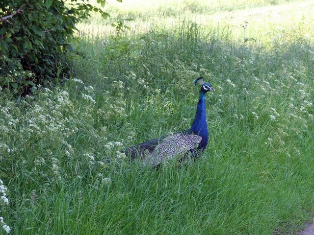
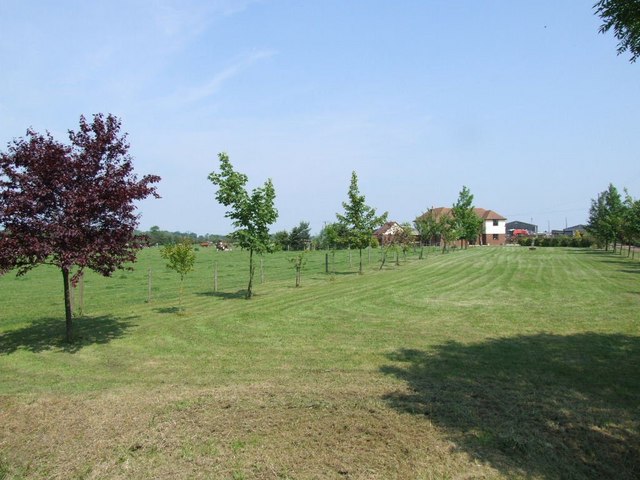
Langlands Plantation Images
Images are sourced within 2km of 52.184666/-0.20255106 or Grid Reference TL2255. Thanks to Geograph Open Source API. All images are credited.

Langlands Plantation is located at Grid Ref: TL2255 (Lat: 52.184666, Lng: -0.20255106)
Administrative County: Cambridgeshire
District: Huntingdonshire
Police Authority: Cambridgeshire
What 3 Words
///prepare.wasps.spots. Near Gamlingay, Cambridgeshire
Nearby Locations
Related Wikis

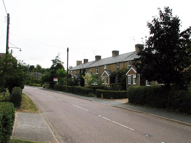
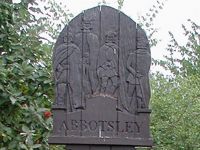
Abbotsley
Abbotsley is a village and civil parish within the Huntingdonshire district of Cambridgeshire, England. It is three miles from St Neots and 14 miles from...

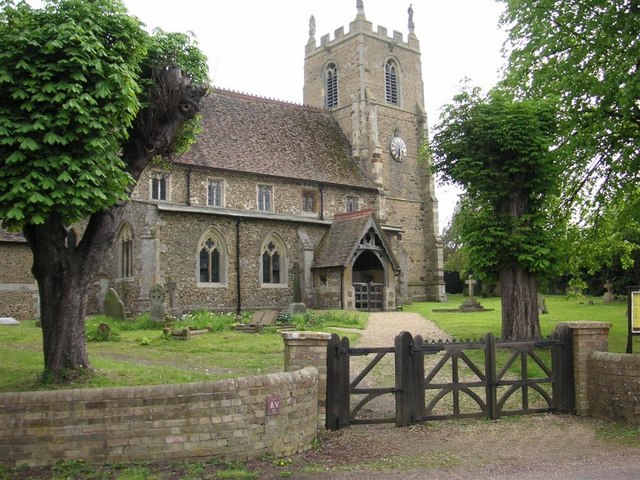
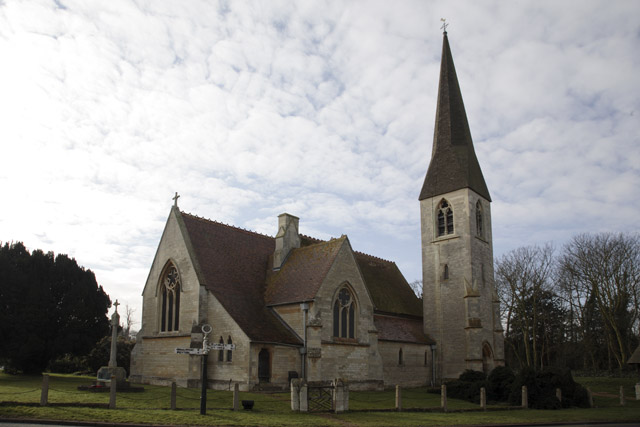
St Margaret's Church, Abbotsley
St Margaret's Church is a historic Anglican church in the village of Abbotsley, Cambridgeshire, England. It is recorded in the National Heritage List...

Weaveley and Sand Woods
Weaveley and Sand Woods is a 62.0-hectare (153-acre) biological Site of Special Scientific Interest north of Gamlingay in Cambridgeshire.This site has...
Waresley
Waresley is a village and former civil parish, now in the parish of Waresley-cum-Tetworth, in Cambridgeshire, England. Waresley lies approximately 11 miles...
Nearby Amenities
Located within 500m of 52.184666,-0.20255106Have you been to Langlands Plantation?
Leave your review of Langlands Plantation below (or comments, questions and feedback).