Hammerhill Wood
Wood, Forest in Sussex Horsham
England
Hammerhill Wood
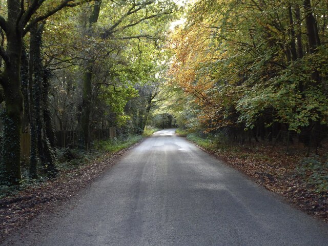
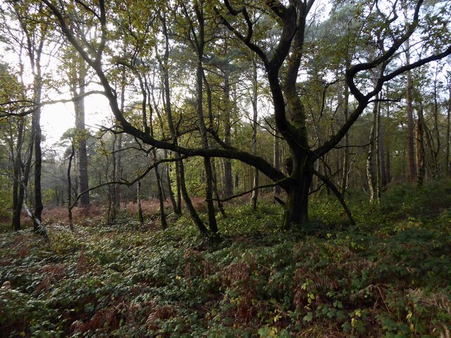
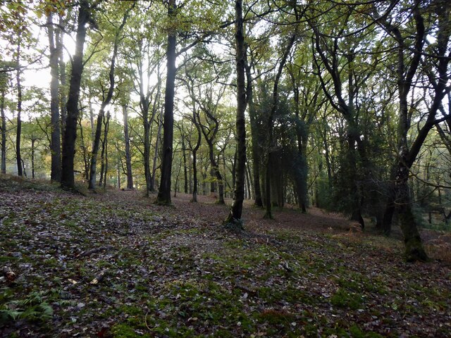
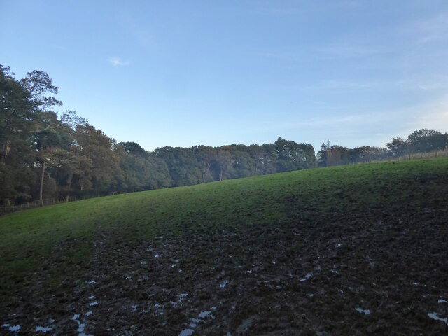
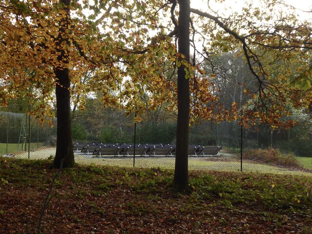
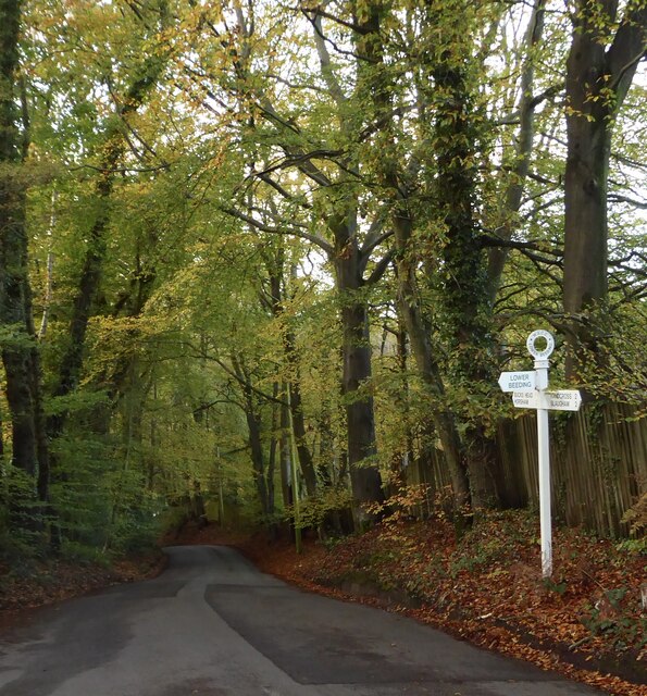
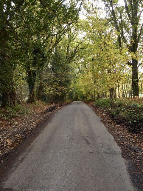
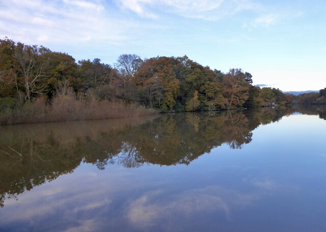
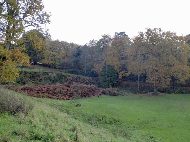
Hammerhill Wood, located in Sussex, England, is a captivating woodland spanning over a vast area. This natural gem is nestled within the picturesque South Downs National Park, renowned for its outstanding natural beauty. The wood is predominantly composed of a mix of ancient deciduous trees, including oak, beech, and ash, creating a diverse and enchanting forest landscape.
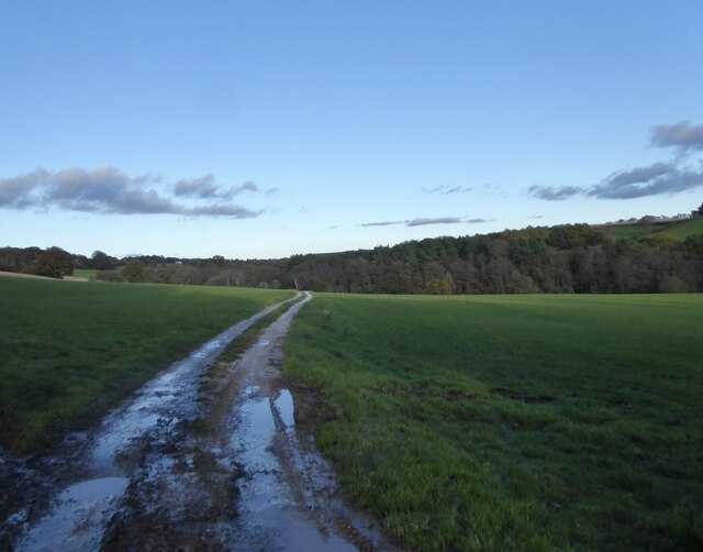
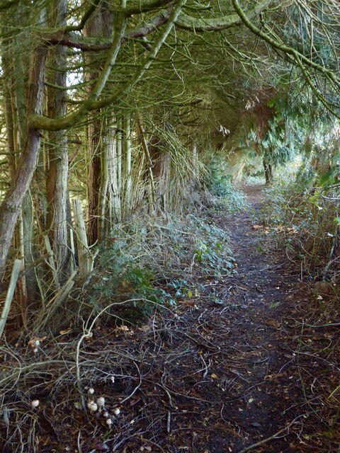
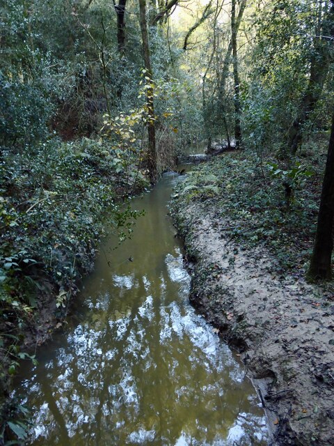
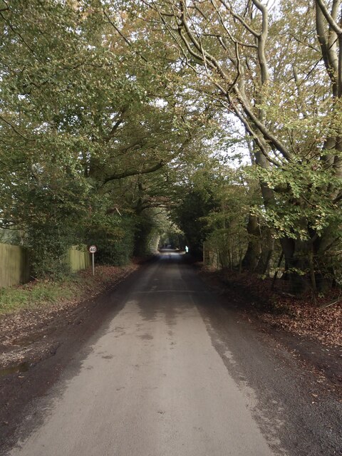
Visitors are greeted by a network of well-maintained footpaths that wind their way through the wood, providing ample opportunities for hiking, walking, and exploring. The wood's undulating terrain adds an element of adventure to any visit, with gentle slopes and occasional steep inclines that offer panoramic views of the surrounding countryside.
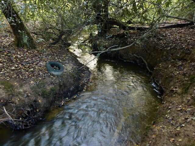
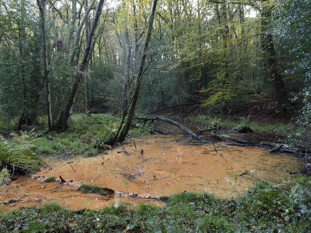
Wildlife enthusiasts will be delighted by the abundance of flora and fauna that call Hammerhill Wood home. The wood provides a sanctuary for numerous bird species, such as woodpeckers, owls, and songbirds, offering a symphony of melodic tunes. It is also a habitat for various mammals, including deer, foxes, and badgers, adding to the area's natural diversity.
For those seeking tranquility and solitude, Hammerhill Wood offers a peaceful retreat away from the hustle and bustle of daily life. The rustling leaves, fragrant scent of wildflowers, and the soft whisper of the wind combine to create a serene ambiance.
With its rich biodiversity, stunning scenery, and tranquil atmosphere, Hammerhill Wood is a haven for nature lovers and an ideal destination for those seeking to reconnect with the natural world.
If you have any feedback on the listing, please let us know in the comments section below.
Hammerhill Wood Images
Images are sourced within 2km of 51.047637/-0.24704785 or Grid Reference TQ2229. Thanks to Geograph Open Source API. All images are credited.
Hammerhill Wood is located at Grid Ref: TQ2229 (Lat: 51.047637, Lng: -0.24704785)
Administrative County: West Sussex
District: Horsham
Police Authority: Sussex
What 3 Words
///curated.seating.complies. Near Handcross, West Sussex
Nearby Locations
Related Wikis

Lower Beeding
Lower Beeding is a village and civil parish in the Horsham District of West Sussex, England. The village lies on the B2110, B2115 and A281 roads 3.5 miles...

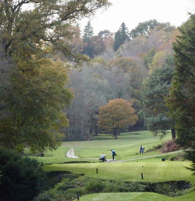
Mannings Heath Golf & Wine Estate
Mannings Heath Golf & Wine Estate is located in Mannings Heath, Horsham in the south of England. The 500 acre parkland site includes two golf courses and...

Newells Preparatory School
Newells Preparatory School came to Lower Beeding, Sussex, in 1946. It has been at Handcross and known as Handcross Park School since 1968. It merged with...

St Leonard's Forest SSSI
St Leonard's Forest SSSI is an 85.4-hectare (211-acre) biological Site of Special Scientific Interest east of Horsham in West Sussex. The SSSI is in two...

St Leonard's Forest
St Leonard's Forest is at the western end of the Wealden Forest Ridge which runs from Horsham to Tonbridge, and is part of the High Weald Area of Outstanding...

Mannings Heath
Mannings Heath is a village in the civil parish of Nuthurst and the Horsham District of West Sussex, England. The village is on the A281 road, 2 miles...

Slaugham
Slaugham () is a village and civil parish in the Mid Sussex District of West Sussex, England. It is located 7 miles (11 km) to the south of Crawley, on...

St Mary's Church, Slaugham
St Mary's Church is an Anglican church in the village of Slaugham in Mid Sussex, one of seven local government districts in the English county of West...
Nearby Amenities
Located within 500m of 51.047637,-0.24704785Have you been to Hammerhill Wood?
Leave your review of Hammerhill Wood below (or comments, questions and feedback).