Elton

Settlement in Gloucestershire Forest of Dean

England

Elton

Barn in Home Farm, Flaxley This barn, possibly a former tithe barn, is now unused, although the field surrounding it is now used for cattle.
Barn in Home Farm, Flaxley Credit: Pebble

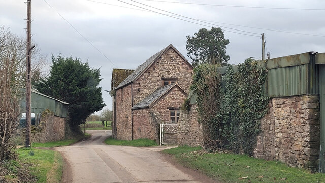
Elton is a picturesque village located in the county of Gloucestershire, England. Situated on the western edge of the Cotswolds, it is surrounded by rolling hills and offers stunning views of the countryside. Elton is part of the Tewkesbury borough and falls within the administrative district of Winchcombe.

With a population of around 500 residents, Elton is a small and close-knit community. The village is known for its charming and well-preserved traditional Cotswold stone houses, giving it a quintessentially English feel. The historic St. Mary's Church, dating back to the 13th century, is a notable landmark.

Elton is an ideal destination for nature enthusiasts and those seeking a peaceful retreat. The village is surrounded by lush green fields, meadows, and woodlands, providing ample opportunities for walking, hiking, and exploring the countryside. The nearby Cotswold Way, a long-distance footpath, passes close to Elton, offering scenic walks with panoramic views.

Despite its rural setting, Elton benefits from good transport links. The village is conveniently located near the A46 road, providing easy access to neighboring towns and cities. The larger towns of Cheltenham and Tewkesbury are within a short drive, offering a range of amenities such as shops, restaurants, and leisure facilities.

Overall, Elton, Gloucestershire, encapsulates the charm and beauty of the Cotswolds. Its idyllic location, historic buildings, and peaceful atmosphere make it a desirable place to live or visit for those seeking a tranquil escape in the heart of the English countryside.

If you have any feedback on the listing, please let us know in the comments section below.
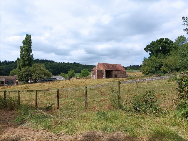
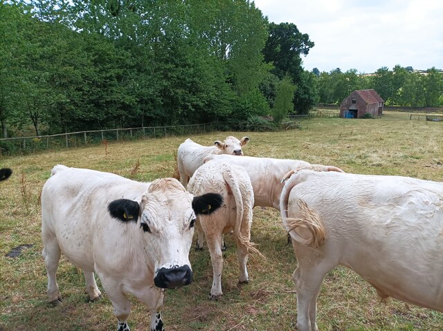
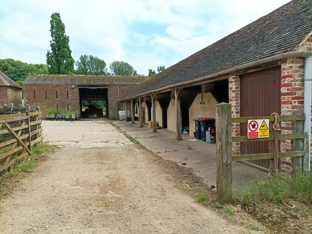
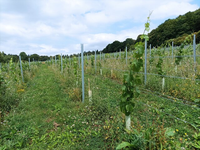
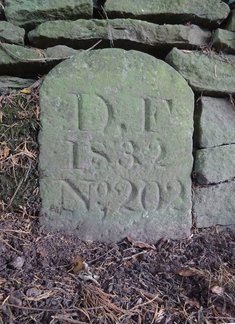
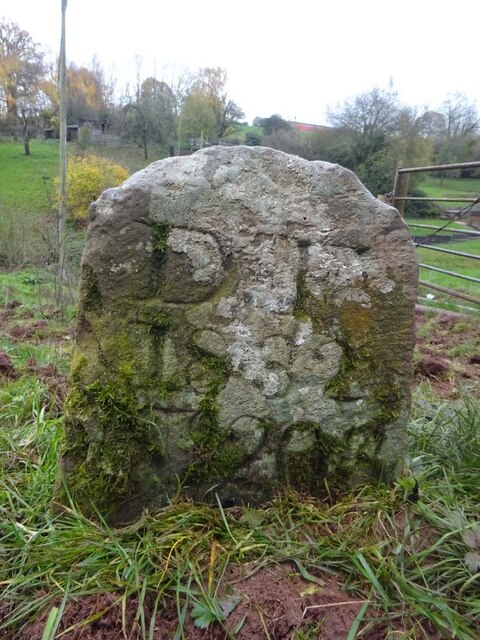
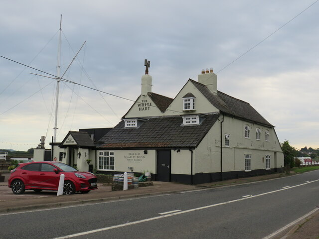
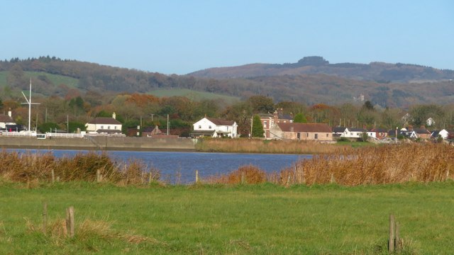
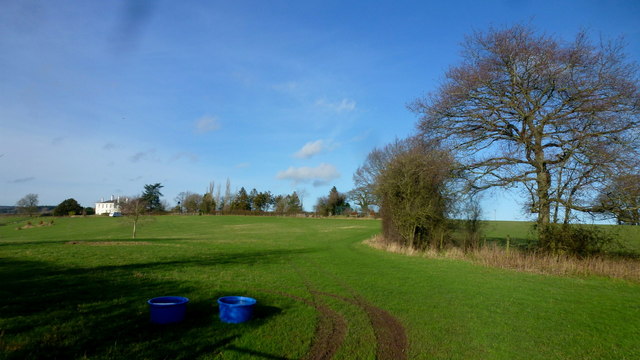
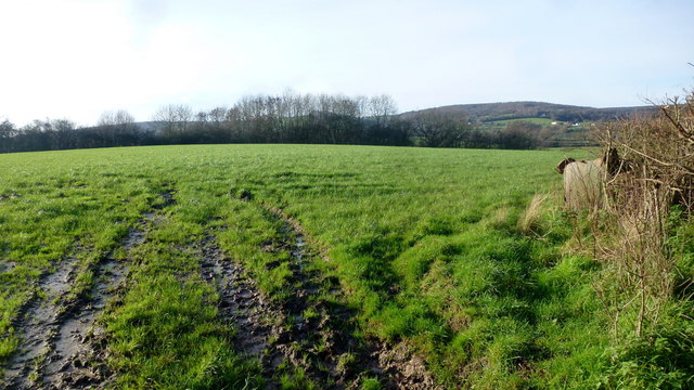
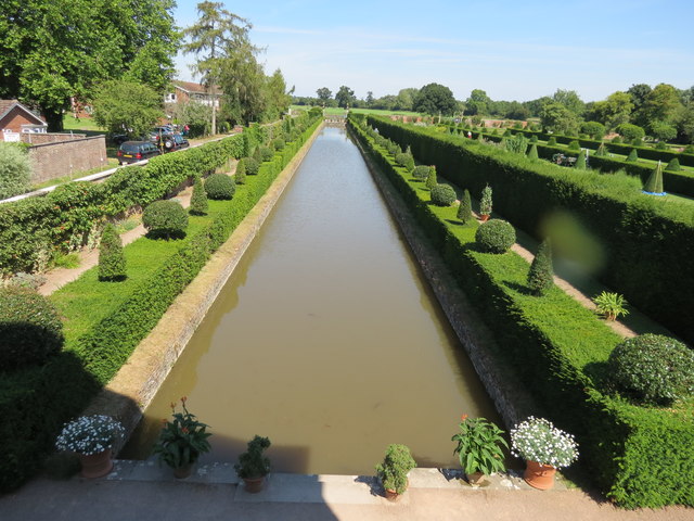
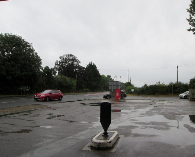
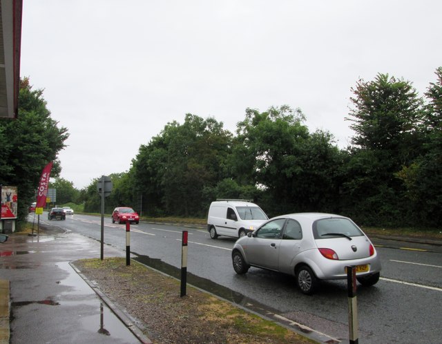
Elton Images

Images are sourced within 2km of 51.824122/-2.437869 or Grid Reference SO6914. Thanks to Geograph Open Source API. All images are credited.

Barn in Home Farm, Flaxley This barn, possibly a former tithe barn, is now unused, although the field surrounding it is now used for cattle.
Barn in Home Farm, Flaxley
This barn, possibly a former tithe barn, is now unused, although the field surrounding it is now used for cattle.
White Park cattle The White Park cattle of Home Farm, Flaxley, with a possible former tithe barn in the background.
White Park cattle
The White Park cattle of Home Farm, Flaxley, with a possible former tithe barn in the background.
Yard in Home Farm, Flaxley Yard and barns used for storage.
Yard in Home Farm, Flaxley
Yard and barns used for storage.
Vineyard in Home Farm, Flaxley The most southerly of 3 vineyards owned by Kingsthorne on Home Farm. This vineyard contains Chardonnay only.
Vineyard in Home Farm, Flaxley
The most southerly of 3 vineyards owned by Kingsthorne on Home Farm. This vineyard contains Chardonnay only.
Old Boundary Stone, Littledean "Royal Forest of Dean boundary". In the parish of East Dean, at the slip road leading to Camp Farm, between Littledean and Elton. In a retaining wall. Interestingly, 12.5 metres due South of this stone, in 1877, a hemispherical parcel of land was an exclave of Westbury on Severn, bisecting a farm building.

Inscription: D.F / 1832 / Nᴼ. 202

Milestone Society National ID: GL_DFLITT202em
Old Boundary Stone, Littledean
"Royal Forest of Dean boundary". In the parish of East Dean, at the slip road leading to Camp Farm, between Littledean and Elton. In a retaining wall. Interestingly, 12.5 metres due South of this stone, in 1877, a hemispherical parcel of land was an exclave of Westbury on Severn, bisecting a farm building. Inscription: D.F / 1832 / Nᴼ. 202 Milestone Society National ID: GL_DFLITT202em
Old Milestone opposite Cherry Tree Farm, Carved stone post by the A4151, in parish of WESTBURY ON SEVERN (FOREST OF DEAN District),
behind railings, on the North side of road. The carved Benchmark  represents 47.3 m ASL.
EC stone, erected by the Forest of Dean turnpike trust in the 19ᵗʰ century.
An earlier image is <a href="https://www.geograph.org.uk/photo/6049831">SO6814 : Old Milestone by the A4151, Cherry Tree Farm, Westbury on Severn parish</a>.

Inscription reads: COLEFORD / 8 / GLOSTER / 11 / LONDON / (??)

Milestone Society National ID: GL_ELCO02
Old Milestone opposite Cherry Tree Farm,
Carved stone post by the A4151, in parish of WESTBURY ON SEVERN (FOREST OF DEAN District), behind railings, on the North side of road. The carved Benchmark represents 47.3 m ASL. EC stone, erected by the Forest of Dean turnpike trust in the 19ᵗʰ century. An earlier image is SO6814 : Old Milestone by the A4151, Cherry Tree Farm, Westbury on Severn parish. Inscription reads: COLEFORD / 8 / GLOSTER / 11 / LONDON / (??) Milestone Society National ID: GL_ELCO02
Old Boundary Stone, Flaxley In a field South of Hangman's Hill and SE of Flaxley church. It marks the boundary of the "Forest of Dean".

Inscription: D. F / 1832 / Nᴼ. 195

Milestone Society National ID: GL_DFLIBL195em
Old Boundary Stone, Flaxley
In a field South of Hangman's Hill and SE of Flaxley church. It marks the boundary of the "Forest of Dean". Inscription: D. F / 1832 / Nᴼ. 195 Milestone Society National ID: GL_DFLIBL195em
Old Boundary Stone, In a field North of the A4151, just beyond the dead end of a Public Right of Way.
It marks the boundary of the "Forest of Dean", and is on the boundary of East Dean and Littledean (1950 parishes).

Inscription: D. F / 1832 / Nᴼ. 203

Milestone Society National ID: GL_DFLITT203em
Old Boundary Stone,
In a field North of the A4151, just beyond the dead end of a Public Right of Way. It marks the boundary of the "Forest of Dean", and is on the boundary of East Dean and Littledean (1950 parishes). Inscription: D. F / 1832 / Nᴼ. 203 Milestone Society National ID: GL_DFLITT203em
Boundary Stone, A4151 Elton Opposite New Road, on the verge set back from the highway. The inscription is of 1832 but the typeface is not Victorian.
It may be that a replacement stone was installed after road widening and bend easing (deduced comparing old maps).
It marks the boundary of the "Forest of Dean", and is on the boundary of East Dean and Westbury on Severn (1950 parishes).

Inscription: D. F / 1832 / Nᴼ. 201

Milestone Society National ID: GL_DFLIWS201em
Boundary Stone, A4151 Elton
Opposite New Road, on the verge set back from the highway. The inscription is of 1832 but the typeface is not Victorian. It may be that a replacement stone was installed after road widening and bend easing (deduced comparing old maps). It marks the boundary of the "Forest of Dean", and is on the boundary of East Dean and Westbury on Severn (1950 parishes). Inscription: D. F / 1832 / Nᴼ. 201 Milestone Society National ID: GL_DFLIWS201em
Old Boundary Stone, Blakemore Hale On the SE side of a track belonging to Blakemore's Hale. It marks the boundary of the "Forest of Dean", and is on the boundary of East Dean and Westbury on Severn (1950 parishes).

Inscription: D. F / 1832 / Nᴼ. 200

Milestone Society National ID: GL_DFLIWS200em
Old Boundary Stone, Blakemore Hale
On the SE side of a track belonging to Blakemore's Hale. It marks the boundary of the "Forest of Dean", and is on the boundary of East Dean and Westbury on Severn (1950 parishes). Inscription: D. F / 1832 / Nᴼ. 200 Milestone Society National ID: GL_DFLIWS200em
Elton Farm The side entrance to this private leisure activity centre.
Elton Farm
The side entrance to this private leisure activity centre.
The White Hart, Broadoak
View across River Severn to Broadoak near Newnham
Pasture land at Broughton's The house, off Flaxley Lane, can be seen over to the left.
Pasture land at Broughton's
The house, off Flaxley Lane, can be seen over to the left.
Pastoral scene Alongside Flaxley Lane, with a view to Pope's Hill.
Pastoral scene
Alongside Flaxley Lane, with a view to Pope's Hill.
Dutch  Water  Garden  at  Westbury Court  Gardens Originally laid out 1696 to 1715 and has survived virtually untouched for 300 years, restored by the National Trust.
Dutch Water Garden at Westbury Court Gardens
Originally laid out 1696 to 1715 and has survived virtually untouched for 300 years, restored by the National Trust.
Elton  Corner  on  a  wet  day To the left the A48 toward Broadoak coming in from the right the A4151 Elton Road, from the filling station.
Elton Corner on a wet day
To the left the A48 toward Broadoak coming in from the right the A4151 Elton Road, from the filling station.
A48  toward  Westbury  on  Severn From the filling station at Elton Corner. With over 200 miles of wet driving ahead.
A48 toward Westbury on Severn
From the filling station at Elton Corner. With over 200 miles of wet driving ahead.
Show me another place!

Elton is located at Grid Ref: SO6914 (Lat: 51.824122, Lng: -2.437869)

Administrative County: Gloucestershire

District: Forest of Dean

Police Authority: Gloucestershire

What 3 Words

///recorder.leader.community. Near Cinderford, Gloucestershire

Nearby Locations

Elton

Related Wikis

Westbury-on-Severn Halt railway station

Westbury-on-Severn Halt railway station served the village of Westbury-on-Severn, Gloucestershire, England, from 1928 to 1959 on the South Wales Railway...

Flaxley

Flaxley is a small settlement and former civil parish, now in the parish of Blaisdon, in the Forest of Dean, Gloucestershire, England. It is located in...

Flaxley Abbey

Flaxley Abbey is a former Cistercian monastery in England, now a Grade I listed manor and private residence, near the village of Flaxley in the Forest...

Pope's Hill

Pope's Hill is a hill and a small village situated in the east of the Forest of Dean, Gloucestershire within the parish of Littledean. The hill is 12 miles...

Nearby Amenities

Located within 500m of 51.824122,-2.437869
Bus Stop
Wyncoll's Turn
Naptan AtcoCode: 1600GL1843
Naptan Bearing: W
Naptan CommonName: Wyncoll's Turn
Naptan NaptanCode: gloamdwm
Naptan Street: Elton Rd A4151
Naptan Verified: no
Source: naptan_import
Lat/Long: 51.8225087/-2.4435472
Bus Stop
Wyncoll's Turn
Naptan AtcoCode: 1600GL1844
Naptan Bearing: E
Naptan CommonName: Wyncoll's Turn
Naptan Indicator: Opp
Naptan NaptanCode: gloamgad
Naptan Street: Elton Rd A4151
Naptan Verified: no
Source: naptan_import
Lat/Long: 51.8225287/-2.4430105
Bus Stop
Cowle's Farm
Naptan AtcoCode: 1600GLA36607
Naptan Bearing: W
Naptan CommonName: Cowle's Farm
Naptan Indicator: Opp
Naptan NaptanCode: glogmdgj
Naptan Street: Elton Rd A4151
Naptan Verified: no
Source: naptan_import
Lat/Long: 51.8224846/-2.4379609
Bus Stop
Cowle's Farm
Naptan AtcoCode: 1600GLA36608
Naptan Bearing: E
Naptan CommonName: Cowle's Farm
Naptan NaptanCode: glogmdgm
Naptan Street: Elton Rd A4151
Naptan Verified: no
Source: naptan_import
Lat/Long: 51.8226467/-2.4379044
Bus Stop
Elton Corner
Naptan AtcoCode: 1600GLF317
Naptan Bearing: W
Naptan CommonName: Elton Corner
Naptan NaptanCode: gloamjmp
Naptan Street: Elton Rd A4151
Naptan Verified: no
Source: naptan_import
Lat/Long: 51.822588/-2.431897
Bus Stop
Elton Corner
Naptan AtcoCode: 1600GLF318
Naptan Bearing: E
Naptan BusStopType: CUS
Naptan CommonName: Elton Corner
Naptan NaptanCode: gloamjmt
Naptan Street: Elton Rd A4151
Naptan Verified: no
Source: naptan_import
Lat/Long: 51.822687/-2.4318544
Elton
Place: hamlet
Lat/Long: 51.8246571/-2.4430398
Cowle's Farm
Place: farm
Source: OS opendata streetview
Lat/Long: 51.8254413/-2.4385044
Fuel
Texaco
Brand: Texaco
Brand Wikidata: Q775060
Operator: Motor Fuel Group
Operator Website: https://www.motorfuelgroup.com/locations/elton-fs252/
Operator Wikidata: Q107271358
Website: https://locations.valero.com/en-gb/LocationDetails/Index/ELTON-CORNER/0000887228
Lat/Long: 51.8229123/-2.4309991
Car Wash
Lat/Long: 51.8226521/-2.4311842
Power: pole
Lat/Long: 51.8212773/-2.4335322
Power: pole
Lat/Long: 51.8212831/-2.4348761
Power: pole
Lat/Long: 51.8211529/-2.4363995
Power: pole
Lat/Long: 51.8210725/-2.4373997
Power: pole
Lat/Long: 51.8209615/-2.4386662
Power: pole
Lat/Long: 51.8208275/-2.4403538
Power: pole
Lat/Long: 51.8210516/-2.4424663
Barrier: entrance
Lat/Long: 51.8228216/-2.4360638
Noexit: yes
Lat/Long: 51.8221049/-2.4415298
Power: pole
Lat/Long: 51.8208921/-2.4427486
Power: pole
Lat/Long: 51.8207326/-2.4413668
Parcel Locker
Amazon Hub Locker
Brand: Amazon Hub
Brand Wikidata: Q16974764
Check Date: 2023-03-13
Ref: zrar
Lat/Long: 51.8230236/-2.4308357
The data included in this document is from www.openstreetmap.org. The data is made available under ODbL.

Have you been to Elton?

Leave your review of Elton below (or comments, questions and feedback).