Belmont Covert
Wood, Forest in Lincolnshire East Lindsey
England
Belmont Covert

Belmont Covert is a woodland area located in the county of Lincolnshire, England. Situated near the village of Belmont, it covers a vast expanse of land and is known for its dense forest and abundant wildlife.
The woodland of Belmont Covert is predominantly composed of native tree species such as oak, beech, and birch, creating a diverse and vibrant ecosystem. The forest floor is adorned with a variety of flora, including bluebells, primroses, and ferns, adding to the natural beauty of the area.
This woodland is home to a wide range of wildlife, providing a sanctuary for numerous species. The diverse habitat supports a plethora of bird species, making it a popular spot for birdwatchers. Visitors may have the chance to spot woodpeckers, tawny owls, and various warblers during their visit. Mammals such as foxes, badgers, and deer can also be found within the woodland, adding to the rich biodiversity of the area.
Belmont Covert offers numerous walking trails and paths, allowing visitors to explore the beauty of the forest. The dense canopy provides shade during the summer months, making it an ideal location for leisurely walks and picnics. The woodland also serves as a recreational area for outdoor activities such as camping and nature photography.
Overall, Belmont Covert in Lincolnshire is a picturesque woodland area renowned for its diverse flora and fauna. With its natural beauty and tranquil atmosphere, it offers a peaceful retreat for nature enthusiasts and those seeking to escape the hustle and bustle of urban life.
If you have any feedback on the listing, please let us know in the comments section below.
Belmont Covert Images
Images are sourced within 2km of 53.336804/-0.15927888 or Grid Reference TF2283. Thanks to Geograph Open Source API. All images are credited.


Belmont Covert is located at Grid Ref: TF2283 (Lat: 53.336804, Lng: -0.15927888)
Administrative County: Lincolnshire
District: East Lindsey
Police Authority: Lincolnshire
What 3 Words
///gadgets.surveyors.shadows. Near Louth, Lincolnshire
Nearby Locations
Related Wikis
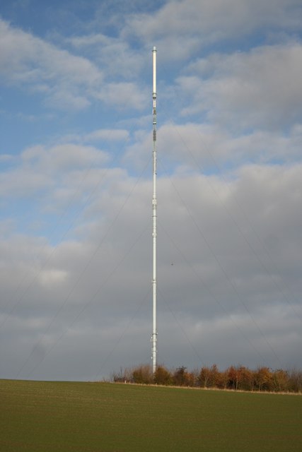
Belmont transmitting station
The Belmont transmitting station is a broadcasting and telecommunications facility next to the B1225, 1 mile (1.6 km) west of the village of Donington...
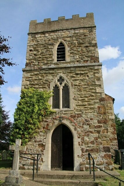
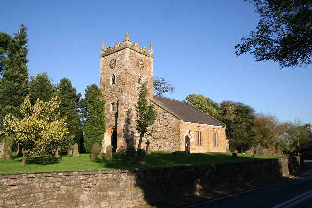
Biscathorpe
Biscathorpe is an ecclesiastical parish, deserted medieval village and former civil parish, now in the parish of Gayton le Wold, in the East Lindsey district...
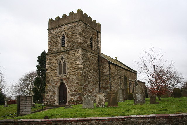
Donington on Bain
Donington on Bain is a village and civil parish in the East Lindsey district of Lincolnshire, England. The village is approximately 6 miles (10 km) south...

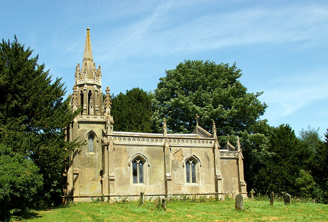
Gayton le Wold
Gayton le Wold is a village and civil parish in the East Lindsey district of Lincolnshire, England. It lies 6 miles (10 km) west from Louth, 3 miles (5...
Louth to Bardney Line
The Louth to Bardney Line was an English railway line built by the Louth and Lincoln Railway Company, in Lincolnshire, England. It opened in stages between...
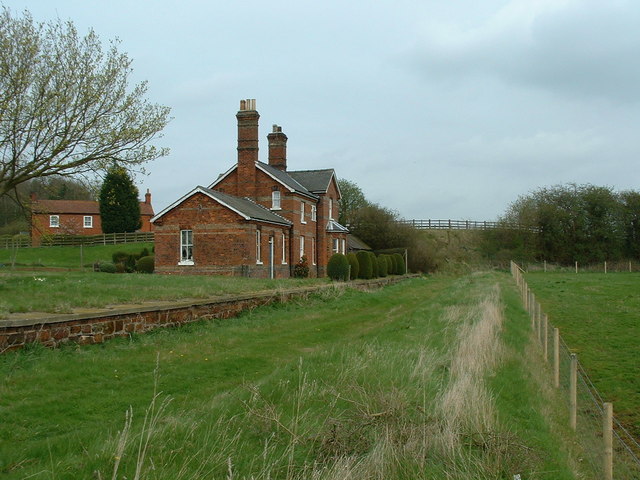
Donington on Bain railway station
Donington railway station was a station in the village of Donington on Bain, Lincolnshire, England. == History == The Great Northern Railway planned and...
Burgh on Bain
Burgh on Bain is a village and civil parish in the East Lindsey district of Lincolnshire, England. It is situated on the A157 road, 7 miles (11 km) west...

Benniworth
Benniworth is a village and civil parish in the East Lindsey district of Lincolnshire, England. The village is situated just west of the B1225 road, and...
Nearby Amenities
Located within 500m of 53.336804,-0.15927888Have you been to Belmont Covert?
Leave your review of Belmont Covert below (or comments, questions and feedback).