Gravelpit Covert
Wood, Forest in Lincolnshire East Lindsey
England
Gravelpit Covert

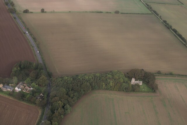
Gravelpit Covert, located in Lincolnshire, England, is a woodland area known for its scenic beauty and rich biodiversity. Covering a total area of approximately 200 acres, this woodland is a part of a larger forested region in the county.
The name "Gravelpit Covert" is derived from the historical presence of gravel pits in the area, which were used for mining gravel for construction purposes. Over time, these pits have been reclaimed by nature, resulting in a diverse landscape of mature trees, shrubs, and wildflowers.
The woodland is predominantly composed of broadleaf trees such as oak, birch, and beech. These trees provide a habitat for a variety of wildlife species, including squirrels, foxes, and a wide range of bird species. Gravelpit Covert is particularly renowned for its bird population, with several species of owls, woodpeckers, and warblers being spotted here.
Walking trails and footpaths crisscross the woodland, allowing visitors to explore its natural beauty. The paths are well-maintained, making it accessible for people of all ages. The tranquil atmosphere and peaceful surroundings make Gravelpit Covert a popular spot for nature enthusiasts, hikers, and birdwatchers.
The woodland also serves as an important ecological site, contributing to the overall health and biodiversity of the region. Conservation efforts are in place to protect and preserve the natural habitat, ensuring the long-term sustainability of Gravelpit Covert for future generations to enjoy.
If you have any feedback on the listing, please let us know in the comments section below.
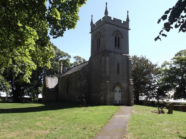
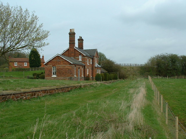
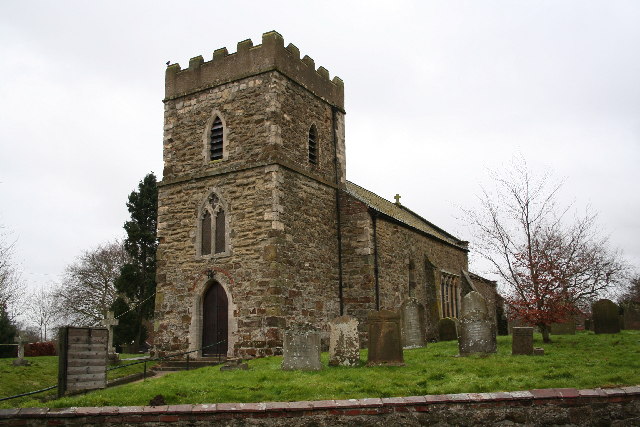
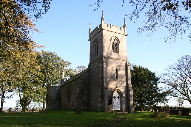
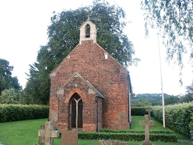
Gravelpit Covert Images
Images are sourced within 2km of 53.311327/-0.16220652 or Grid Reference TF2280. Thanks to Geograph Open Source API. All images are credited.


Gravelpit Covert is located at Grid Ref: TF2280 (Lat: 53.311327, Lng: -0.16220652)
Administrative County: Lincolnshire
District: East Lindsey
Police Authority: Lincolnshire
What 3 Words
///dignitary.hothouse.wide. Near Wragby, Lincolnshire
Nearby Locations
Related Wikis

Market Stainton
Market Stainton is a village and civil parish in the East Lindsey district of Lincolnshire, England. It is situated approximately 7 miles (11 km) north...
Donington on Bain railway station
Donington railway station was a station in the village of Donington on Bain, Lincolnshire, England. == History == The Great Northern Railway planned and...
Louth to Bardney Line
The Louth to Bardney Line was an English railway line built by the Louth and Lincoln Railway Company, in Lincolnshire, England. It opened in stages between...

Benniworth
Benniworth is a village and civil parish in the East Lindsey district of Lincolnshire, England. The village is situated just west of the B1225 road, and...
Donington on Bain
Donington on Bain is a village and civil parish in the East Lindsey district of Lincolnshire, England. The village is approximately 6 miles (10 km) south...
Ranby, Lincolnshire
Ranby is a village and civil parish in the East Lindsey district of Lincolnshire, England. It is situated about 6 miles (10 km) north-west from the market...
Stenigot
Stenigot is a village in the East Lindsey district of Lincolnshire, England. It is in the Lincolnshire Wolds, a designated Area of Outstanding Natural...
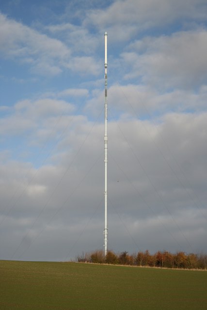
Belmont transmitting station
The Belmont transmitting station is a broadcasting and telecommunications facility next to the B1225, 1 mile (1.6 km) west of the village of Donington...
Nearby Amenities
Located within 500m of 53.311327,-0.16220652Have you been to Gravelpit Covert?
Leave your review of Gravelpit Covert below (or comments, questions and feedback).