Oak Holt
Wood, Forest in Lincolnshire South Holland
England
Oak Holt
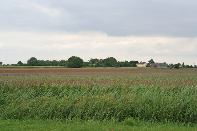
Oak Holt, Lincolnshire is a small woodland area located in the county of Lincolnshire, England. Covering an approximate area of 50 acres, Oak Holt is known for its dense concentration of oak trees, which lend their name to the woodland. The forest is situated on the eastern edge of the Lincolnshire Wolds, a designated Area of Outstanding Natural Beauty.
The woodland is characterized by its mature oak trees that reach heights of up to 30 meters, creating a striking canopy overhead. The forest floor is covered in a rich carpet of moss, ferns, and wildflowers, adding to its natural beauty. Oak Holt is home to a diverse range of wildlife, including various bird species such as woodpeckers, owls, and thrushes. Small mammals like squirrels, rabbits, and foxes can also be spotted within the woodland.
The forest offers several walking trails and footpaths, making it a popular destination for nature enthusiasts and hikers. These paths wind through the woodland, allowing visitors to immerse themselves in its tranquil ambiance while enjoying the fresh air and breathtaking scenery. Oak Holt provides an idyllic setting for picnics and nature exploration, attracting families and individuals seeking a peaceful retreat away from the hustle and bustle of city life.
Oak Holt, Lincolnshire is a cherished natural gem, offering a sanctuary for both wildlife and humans alike. Its lush vegetation, towering oak trees, and abundance of wildlife make it a must-visit destination for anyone seeking a connection with nature in the heart of Lincolnshire.
If you have any feedback on the listing, please let us know in the comments section below.
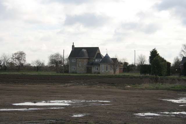
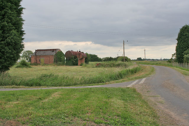
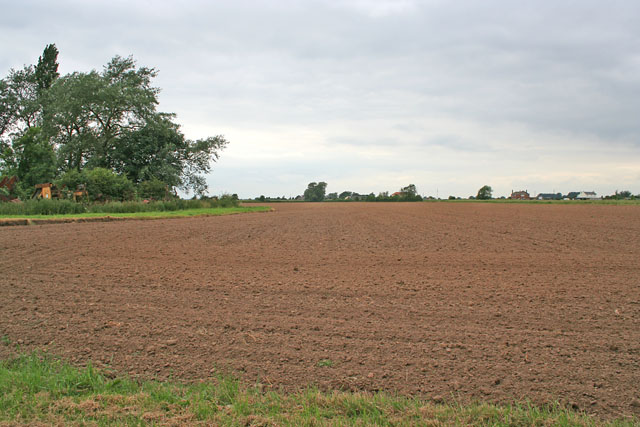
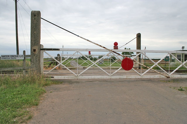
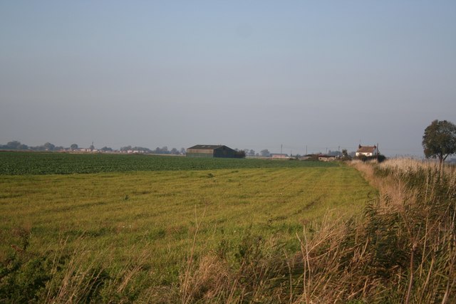
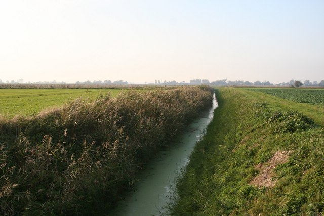
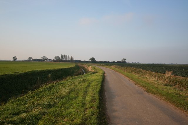
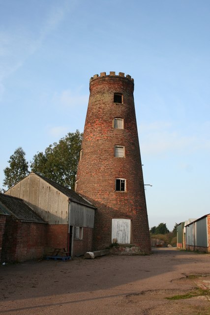
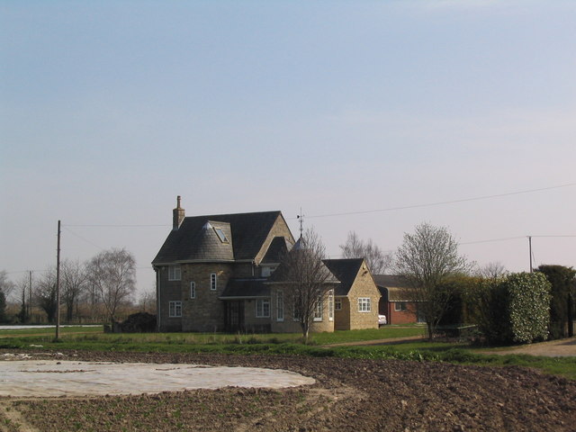
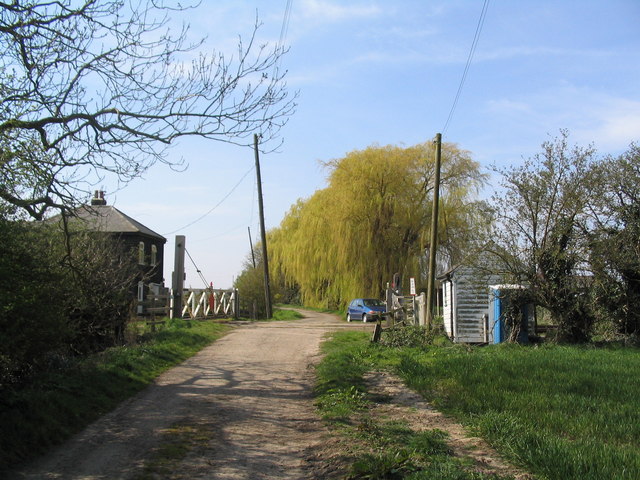
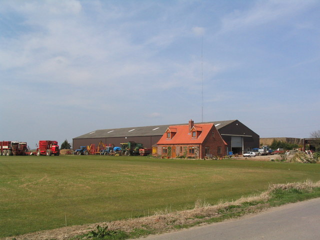
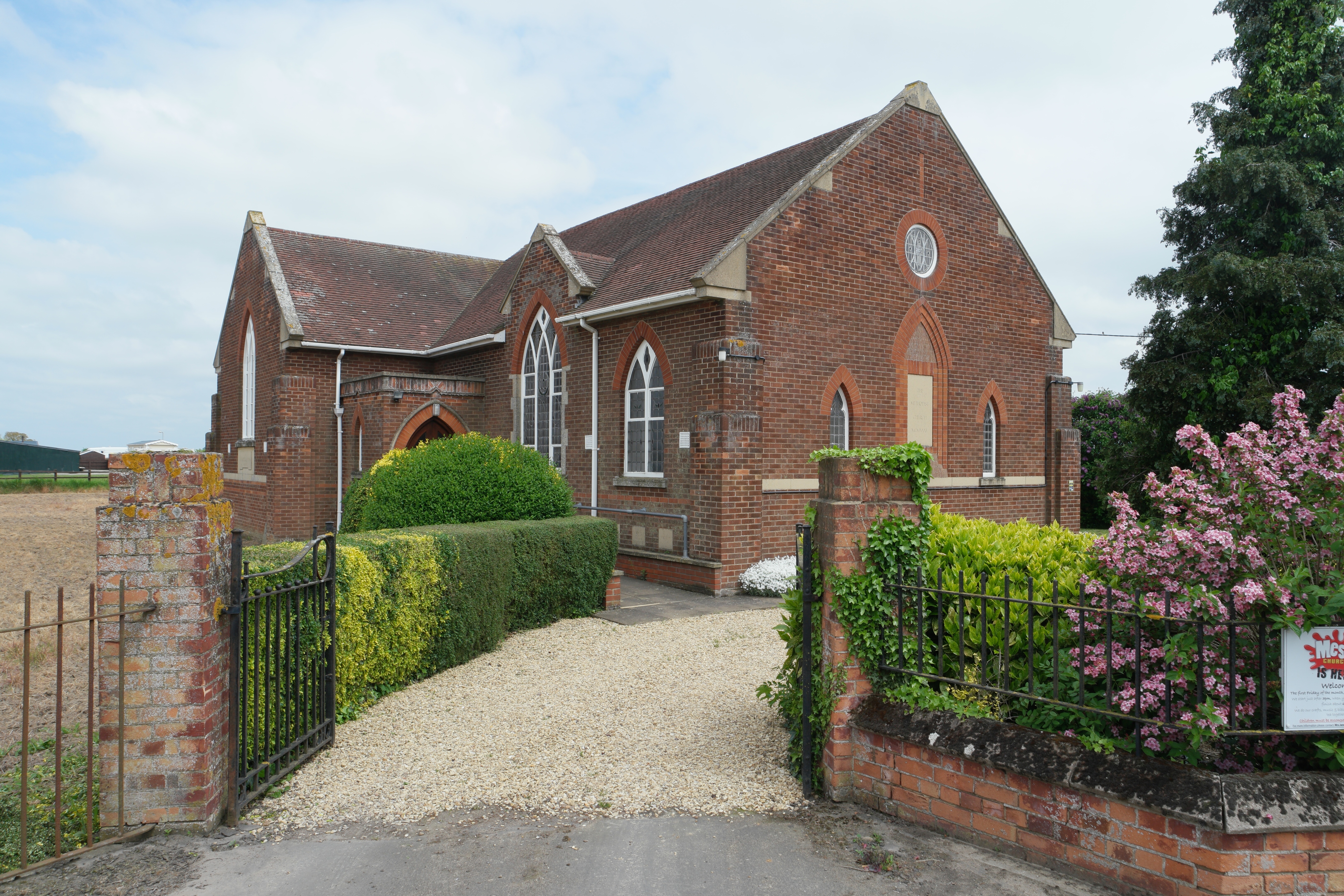
Oak Holt Images
Images are sourced within 2km of 52.834099/-0.18424261 or Grid Reference TF2227. Thanks to Geograph Open Source API. All images are credited.


Oak Holt is located at Grid Ref: TF2227 (Lat: 52.834099, Lng: -0.18424261)
Administrative County: Lincolnshire
District: South Holland
Police Authority: Lincolnshire
What 3 Words
///pricing.exclusive.grinders. Near Pinchbeck, Lincolnshire
Nearby Locations
Related Wikis

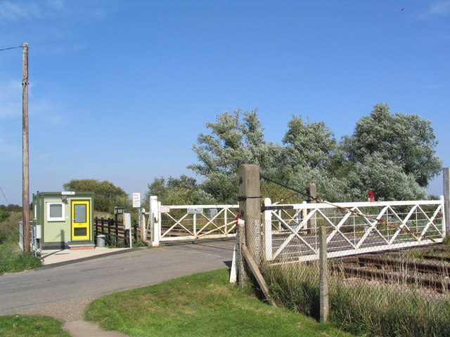
Pinchbeck railway station
Pinchbeck railway station was a station in Pinchbeck, Lincolnshire, England on the line between Spalding and Sleaford. The station opened in 1882, closed...

Risegate
Risegate is a village in the civil parish of Gosberton and the South Holland district of Lincolnshire, England. It is 30 miles (50 km) south-east from...

Gosberton railway station
Gosberton railway station was a station in Gosberton, Lincolnshire. It was opened in 1882 and closed for passengers on 11 September 1961 and freight on...

Pinchbeck, Lincolnshire
Pinchbeck is a village and civil parish in the South Holland district of Lincolnshire, England. The civil parish population was 5,153 at the 2001 census...

Surfleet
Surfleet is a small village and civil parish in the South Holland district of Lincolnshire, England. It is situated on the B1356 road, 3 miles (4.8 km...

Gosberton
Gosberton is a village and civil parish in the South Holland district of Lincolnshire, England. It is situated 9 miles (14.5 km) south-west of Boston,...
Gosberton Clough
Gosberton Clough is a village in the civil parish of Gosberton and the South Holland district of Lincolnshire, England. It is 30 miles (50 km) south-east...

Westhorpe, Lincolnshire
Westhorpe is a hamlet in the civil parish of Gosberton and the South Holland district of Lincolnshire, England. It is 30 miles (50 km) south-east from...
Nearby Amenities
Located within 500m of 52.834099,-0.18424261Have you been to Oak Holt?
Leave your review of Oak Holt below (or comments, questions and feedback).