Oakhills Wood

Wood, Forest in Hertfordshire North Hertfordshire

England

Oakhills Wood

Ayot St Peter Church Taken from the road looking WSW towards the Church
Ayot St Peter Church Credit: Simon Davies

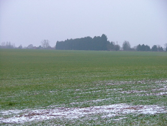
Oakhills Wood is a picturesque woodland located in Hertfordshire, England. Covering an area of approximately 100 acres, the wood is known for its diverse range of flora and fauna, making it a popular destination for nature enthusiasts and hikers. The wood is home to a variety of tree species, including oak, beech, and birch, which provide a habitat for numerous bird species such as woodpeckers and robins.

Visitors to Oakhills Wood can enjoy a network of well-maintained walking trails that wind through the woodland, offering opportunities to observe wildlife and enjoy the peaceful surroundings. The wood is also home to a number of historic features, including remnants of old buildings and pathways that provide a glimpse into the area's past.

Oakhills Wood is managed by the local council and is open to the public year-round. The wood is a designated Site of Special Scientific Interest (SSSI), highlighting its importance for conservation and biodiversity. Whether looking for a peaceful escape into nature or a chance to explore the rich history of the area, Oakhills Wood offers something for everyone to enjoy.

If you have any feedback on the listing, please let us know in the comments section below.

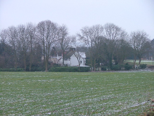
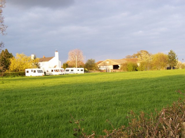
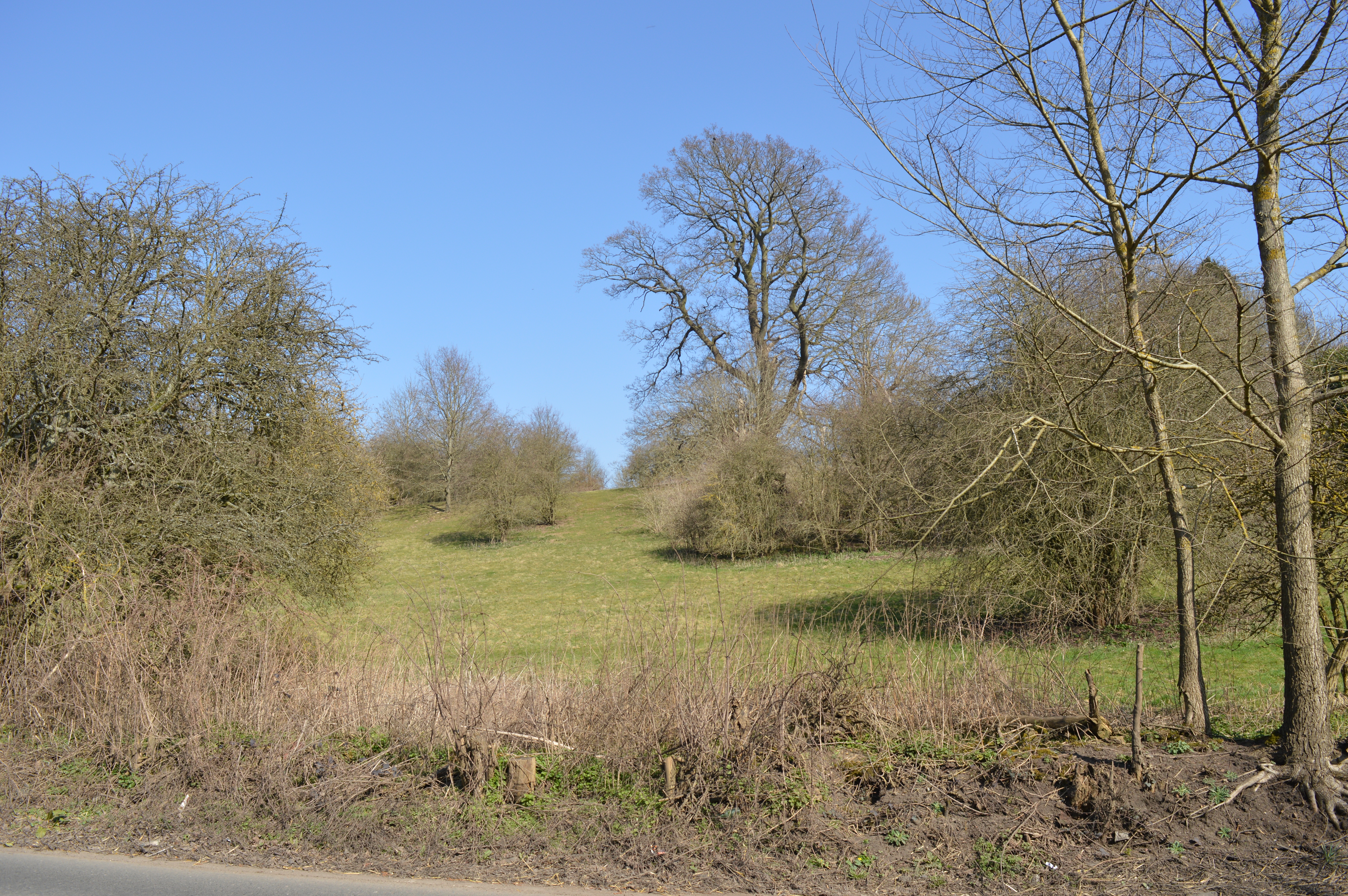
Oakhills Wood Images

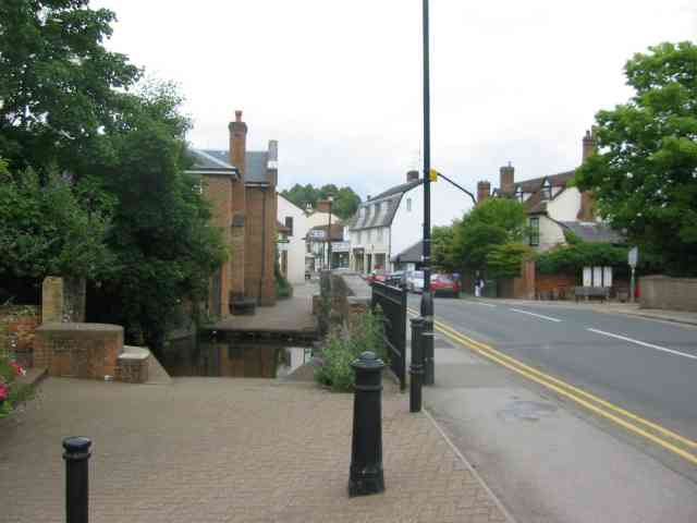
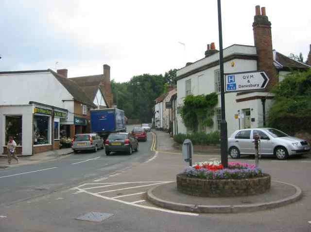
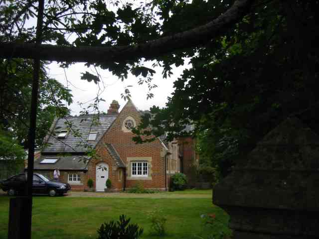
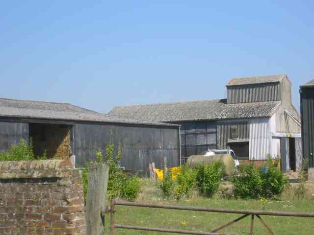
Images are sourced within 2km of 51.836444/-0.225117 or Grid Reference TL2216. Thanks to Geograph Open Source API. All images are credited.

Ayot St Peter Church Taken from the road looking WSW towards the Church
Ayot St Peter Church
Taken from the road looking WSW towards the Church
Welwyn village The ducks have disappeared   otherwise a busy village scene
Welwyn village
The ducks have disappeared otherwise a busy village scene
Welwyn Village View up Codicote Road towards High Street. 
Congestion charges needed
Welwyn Village
View up Codicote Road towards High Street. Congestion charges needed
Ayot St Peter The church seems to be operational but where would the congregation come from?
Ayot St Peter
The church seems to be operational but where would the congregation come from?
Ayot St Peter This building is next door to the church. Looks like it was the school but is now a house
Ayot St Peter
This building is next door to the church. Looks like it was the school but is now a house
Codicote Village The green seems a bit too small to qualify
Codicote Village
The green seems a bit too small to qualify
Codicote Village Ye Olde building is now a Chinese restaurant,
Codicote Village
Ye Olde building is now a Chinese restaurant,
More farm buildings at Hill Farm Interesting to see straw bales packed into a building
More farm buildings at Hill Farm
Interesting to see straw bales packed into a building
Gates leading to something in Codicote Bottom The message is, we wish to keep you out for as long as possible.
Gates leading to something in Codicote Bottom
The message is, we wish to keep you out for as long as possible.
Welwyn High Street
Welwyn High Street
Welwyn.  Parish Church of St Mary the Virgin. This lovely old church sits on the High Street in Welwyn a lovely little village just off the A1.
Welwyn. Parish Church of St Mary the Virgin.
This lovely old church sits on the High Street in Welwyn a lovely little village just off the A1.
A1M Taken from the bridge.
A1M
Taken from the bridge.
Asley Grove - a small wood. Taken from the intersection of the road and the footpath across a field..
Asley Grove - a small wood.
Taken from the intersection of the road and the footpath across a field..
Cottages in Rabley Heath Rd, Codicote. Taken across a field.  Some of these look rather nice!
Cottages in Rabley Heath Rd, Codicote.
Taken across a field. Some of these look rather nice!
Ryefield Farm Some of the Ryefield Farm buildings, viewed from the track which approaches from the west.
Ryefield Farm
Some of the Ryefield Farm buildings, viewed from the track which approaches from the west.
River Mimram crossing Ford over the River Mimram. When the river's low it can flow underneath, and only floods if the water rises.
River Mimram crossing
Ford over the River Mimram. When the river's low it can flow underneath, and only floods if the water rises.
Overview of the grid square, from its NW Taken from the road near the northern edge of the grid square, almost everything in this picture is in TL2116. The buildings on the horizon at the right are Ryefield Farm, the line of trees and hedges closer to us follow the river Mimram and the B-road from Welwyn to Kimpton.
Overview of the grid square, from its NW
Taken from the road near the northern edge of the grid square, almost everything in this picture is in TL2116. The buildings on the horizon at the right are Ryefield Farm, the line of trees and hedges closer to us follow the river Mimram and the B-road from Welwyn to Kimpton.
Chalk pit An active chalk quarry occupies a lot of the SW corner of this grid square.
Chalk pit
An active chalk quarry occupies a lot of the SW corner of this grid square.
Show me another place!

Oakhills Wood is located at Grid Ref: TL2216 (Lat: 51.836444, Lng: -0.225117)

Administrative County: Hertfordshire

District: North Hertfordshire

Police Authority: Hertfordshire

What 3 Words

///idea.scales.libraries. Near Welwyn, Hertfordshire

Nearby Locations

Oakhills Wood

Related Wikis

Singlers Marsh

Singlers Marsh is a 6.3 hectare Local Nature Reserve in Welwyn in Hertfordshire It is owned and managed by Welwyn Hatfield Borough Council.The site is...

Danesbury Park

Danesbury Park is a 24.5-hectare (61-acre) public park and Local Nature Reserve in Welwyn in Hertfordshire. It is owned and managed by Welwyn Hatfield...

Guessens

Guessens is a Grade II* listed timber-framed house at 6 Codicote Road, Welwyn, in Hertfordshire, England. It was built in the early 17th century and has...

Welwyn

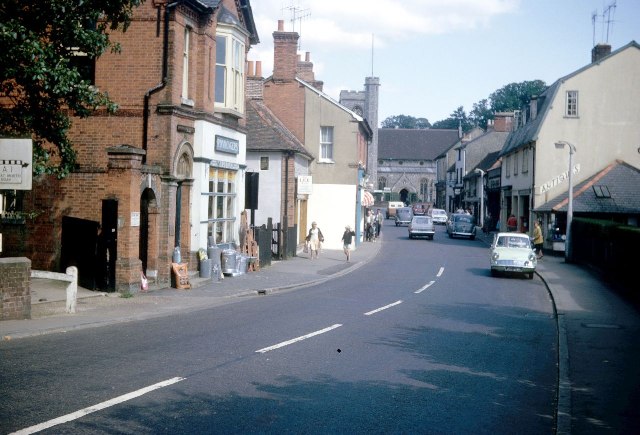
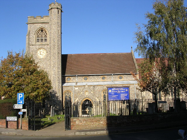
Welwyn is a village and civil parish in Hertfordshire, England. The parish also includes the villages of Digswell and Oaklands. It is sometimes referred...

Nearby Amenities

Located within 500m of 51.836444,-0.225117
Passing Place
Lat/Long: 51.8359117/-0.2317661
Bus Stop
Rollswood Road
Bench: no
Bin: no
Lit: yes
Local Ref: NR
Naptan AtcoCode: 210021107080
Naptan Bearing: SE
Naptan CommonName: Rollswood Road
Naptan Indicator: nr
Naptan Landmark: Unknown
Naptan NaptanCode: hrtgjgjd
Naptan ShortCommonName: NA
Naptan Street: Codicote Road
Naptan Verified: no
Shelter: no
Source: naptan_import
Tactile Paving: no
Lat/Long: 51.8406973/-0.2240902
Bus Stop
Reynards Road
Bench: no
Bin: no
Lit: yes
Local Ref: NR
Naptan AtcoCode: 210021600160
Naptan Bearing: SE
Naptan CommonName: Reynards Road
Naptan Indicator: nr
Naptan Landmark: Unknown
Naptan NaptanCode: hrtatdmp
Naptan ShortCommonName: NA
Naptan Street: Codicote Road
Naptan Verified: no
Shelter: no
Source: naptan_import
Tactile Paving: no
Lat/Long: 51.8391359/-0.2213355
Bus Stop
The Vineyards
Bench: no
Bin: no
Lit: yes
Naptan AtcoCode: 210021607460
Naptan Bearing: NW
Naptan CommonName: The Vineyards
Naptan Indicator: opp
Naptan Landmark: Unknown
Naptan NaptanCode: hrtampga
Naptan PlusbusZoneRef: WLWYNGC
Naptan ShortCommonName: NA
Naptan Street: Codicote Road
Naptan Verified: no
Shelter: no
Source: naptan_import
Tactile Paving: no
Lat/Long: 51.8357073/-0.2187853
Bus Stop
Reynards Road
Bench: no
Bin: no
Lit: yes
Naptan AtcoCode: 210021607480
Naptan Bearing: NW
Naptan CommonName: Reynards Road
Naptan Indicator: opp
Naptan Landmark: Unknown
Naptan NaptanCode: hrtampgd
Naptan ShortCommonName: NA
Naptan Street: Codicote Road
Naptan Verified: no
Shelter: no
Source: naptan_import
Tactile Paving: no
Lat/Long: 51.8389731/-0.2212693
Post Box
Check Date: 2021-05-02
Collection Plate: CP7-R(N)
Collection Times: Mo-Fr 16:00; Sa 07:30
Post Box Type: lamp
Ref: AL6 162
Lat/Long: 51.840862/-0.224356
Post Box
Collection Plate: CP7
Collection Times: Mo-Fr 17:00; Sa 12:00
Post Box Type: lamp
Ref: AL6 268
Royal Cypher: EIIR
Royal Cypher Wikidata: Q33102113
Lat/Long: 51.83481/-0.2259225
Ford: yes
Lat/Long: 51.8378629/-0.2217985
Passing Place
Lat/Long: 51.8358856/-0.2303203
Passing Place
Lat/Long: 51.8358943/-0.2282429
Barrier: kissing_gate
Lat/Long: 51.8348034/-0.2195777
Addr Housenumber: 17
Addr Street: Codicote Road
Lat/Long: 51.8389985/-0.2208558
The data included in this document is from www.openstreetmap.org. The data is made available under ODbL.

Have you been to Oakhills Wood?

Leave your review of Oakhills Wood below (or comments, questions and feedback).