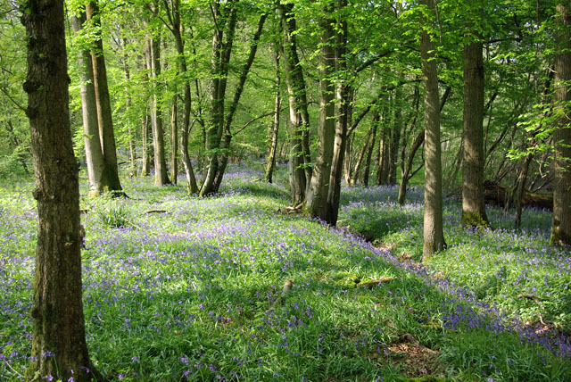
Glover's Plantation
Wood, Forest in Surrey Mole Valley
England
Glover's Plantation
The requested URL returned error: 429 Too Many Requests
If you have any feedback on the listing, please let us know in the comments section below.
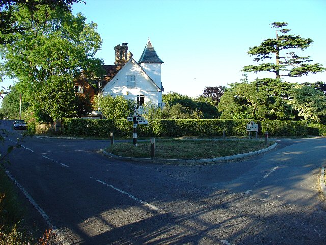
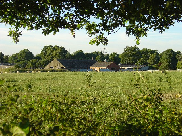
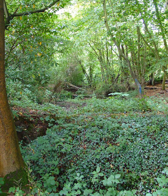
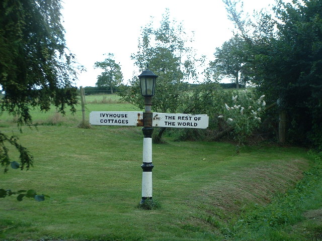
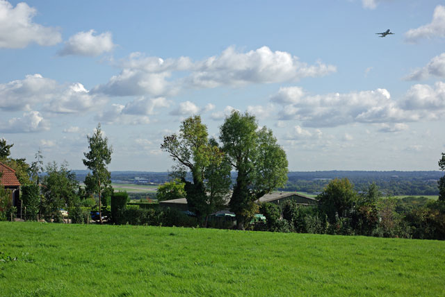
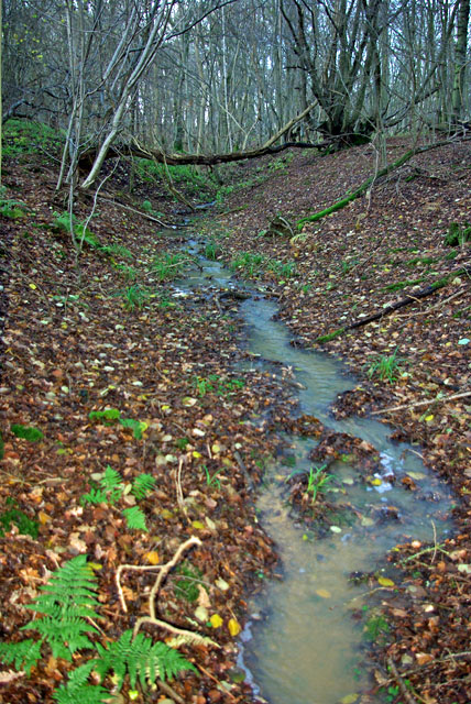
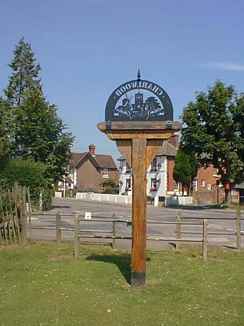
Glover's Plantation Images
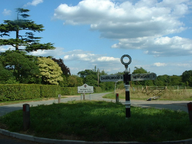
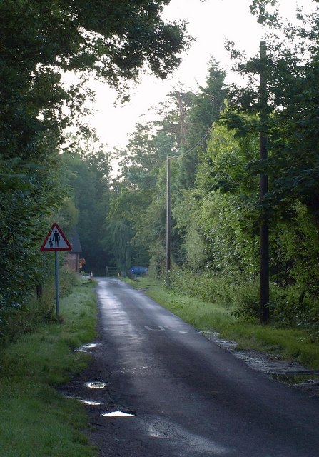
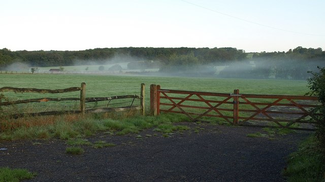
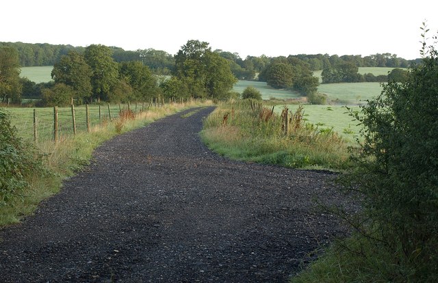
Images are sourced within 2km of 51.150703/-0.25166743 or Grid Reference TQ2240. Thanks to Geograph Open Source API. All images are credited.


Glover's Plantation is located at Grid Ref: TQ2240 (Lat: 51.150703, Lng: -0.25166743)
Administrative County: Surrey
District: Mole Valley
Police Authority: Surrey
What 3 Words
///froze.shine.fears. Near Langley Green, West Sussex
Nearby Locations
Related Wikis

Glover's Wood
Glover's Wood is a 74.5-hectare (184-acre) biological Site of Special Scientific Interest east of Charlwood in Surrey. It is a Nature Conservation Review...
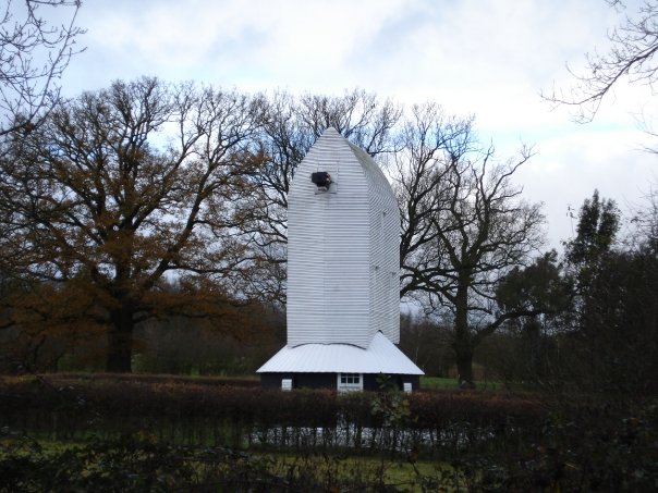
Lowfield Heath Windmill
Lowfield Heath Windmill is a grade II listed post mill at Charlwood, Surrey, England which has been restored to working order. == History == The Lowfield...

Church of St Nicholas, Charlwood
The Church of St Nicholas, Charlwood, is the parish church of Charlwood, Surrey, England. With a 12th-century tower and nave section and examples of 13th...
Charlwood
Charlwood is a village and civil parish in the Mole Valley district of Surrey, England. It is immediately northwest of London Gatwick Airport in West Sussex...
Nearby Amenities
Located within 500m of 51.150703,-0.25166743Have you been to Glover's Plantation?
Leave your review of Glover's Plantation below (or comments, questions and feedback).