Elsworth

Settlement in Cambridgeshire South Cambridgeshire

England

Elsworth

View of road to Elsworth Lodge The flat road leads into the distance, showing Elsworth Lodge and its windbreak line of trees.
View of road to Elsworth Lodge Credit: Sue Jones

Elsworth is a small village located in the county of Cambridgeshire, England. Situated about 10 miles west of the city of Cambridge, Elsworth is nestled in the South Cambridgeshire district. The village has a population of around 650 people, giving it a close-knit and friendly atmosphere.

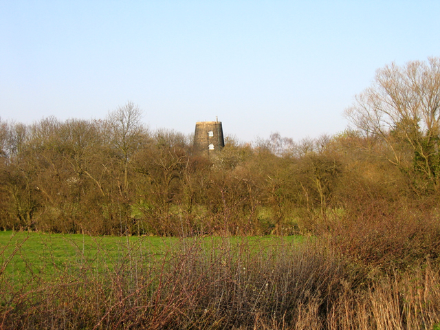
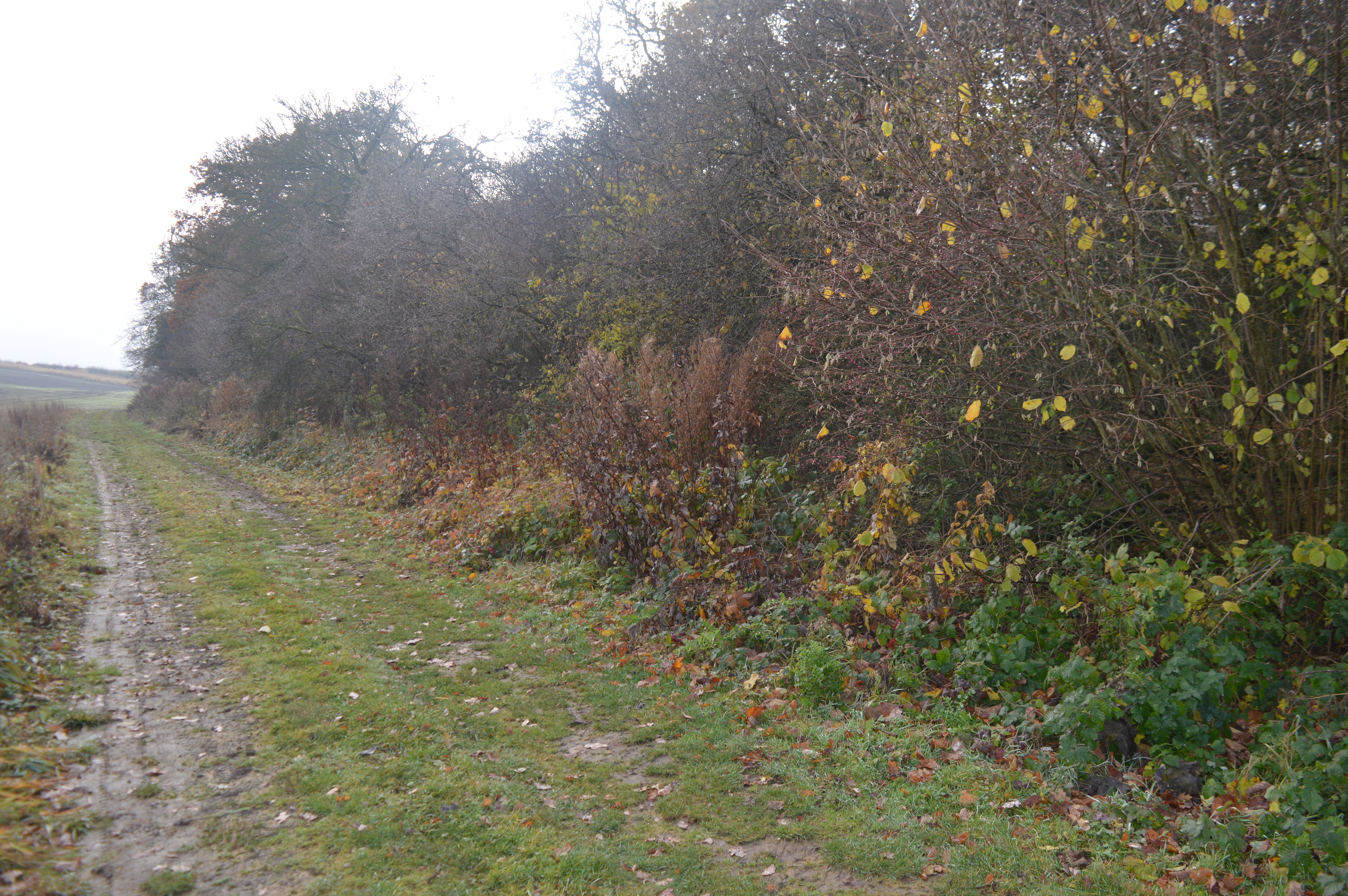
Elsworth boasts a rich history that dates back to the Anglo-Saxon era. The village is known for its picturesque landscape, with rolling countryside and charming cottages dotting the area. The local economy is primarily based on agriculture, with farming playing a significant role in the community.

The village is home to St. Peter's Church, a stunning medieval building that stands as a prominent landmark in Elsworth. The church showcases intricate architecture and houses various historical artifacts. Additionally, Elsworth has a primary school that provides education for children in the local area.

For recreational activities, Elsworth offers several amenities to its residents. These include a village hall, a playing field, and a children's playground. The village also has a pub, The George and Dragon, where locals and visitors can enjoy a traditional English meal or a pint of ale.

Elsworth is well-connected to neighboring towns and cities through road networks. The A428 road passes by the village, providing easy access to Cambridge and other nearby locations. The village also benefits from a regular bus service, enabling residents to travel conveniently.

Overall, Elsworth is a charming and tranquil village that offers a peaceful countryside lifestyle, while still being within reach of the bustling city of Cambridge.

If you have any feedback on the listing, please let us know in the comments section below.

Elsworth Images

Images are sourced within 2km of 52.255529/-0.072235 or Grid Reference TL3163. Thanks to Geograph Open Source API. All images are credited.

View of road to Elsworth Lodge The flat road leads into the distance, showing Elsworth Lodge and its windbreak line of trees.
View of road to Elsworth Lodge
The flat road leads into the distance, showing Elsworth Lodge and its windbreak line of trees.
Field track Field track looking towards Papworth
Field track
Field track looking towards Papworth
Road heading towards B1040 Road North East of Papworth heading towards B1040
Road heading towards B1040
Road North East of Papworth heading towards B1040
Knapwell, All Saints <span class="nowrap"><a title="http://www.druidic.org/camchurch/churches/knapwell.htm" rel="nofollow ugc noopener" href="http://www.druidic.org/camchurch/churches/knapwell.htm">Link</a><img style="margin-left:2px;" alt="External link" title="External link - shift click to open in new window" src="https://s1.geograph.org.uk/img/external.png" width="10" height="10"/></span>
Knapwell, All Saints
Elsworth, Holy Trinity <span class="nowrap"><a title="http://www.druidic.org/camchurch/churches/elsworth.htm" rel="nofollow ugc noopener" href="http://www.druidic.org/camchurch/churches/elsworth.htm">Link</a><img style="margin-left:2px;" alt="External link" title="External link - shift click to open in new window" src="https://s1.geograph.org.uk/img/external.png" width="10" height="10"/></span>
Elsworth, Holy Trinity
Rolling wheat fields An overview of the arable fields that cover much of this grid square (taken from just outside the square looking in).
Rolling wheat fields
An overview of the arable fields that cover much of this grid square (taken from just outside the square looking in).
Farmland south of Elsworth, Cambs The Chalky Boulder Clay plateau of west Cambridgeshire descends to the NE towards Elsworth; the large fields here resemble a 'wheat prairie'.
Farmland south of Elsworth, Cambs
The Chalky Boulder Clay plateau of west Cambridgeshire descends to the NE towards Elsworth; the large fields here resemble a 'wheat prairie'.
Road from Boxworth to Elsworth Taken from the layby, this shows the Boxworth-Elsworth road on the top of a fenland "hill" dropping 10m in 500m distance is the dip. Beyond are further fields and gentle hills typical of the area.
Road from Boxworth to Elsworth
Taken from the layby, this shows the Boxworth-Elsworth road on the top of a fenland "hill" dropping 10m in 500m distance is the dip. Beyond are further fields and gentle hills typical of the area.
Elsworth Lodge Farm
Elsworth Lodge Farm
Field and pylon There is little to distinguish one field from another!
Field and pylon
There is little to distinguish one field from another!
Footpath and field boundary This is true Cambridgeshire.
Footpath and field boundary
This is true Cambridgeshire.
Agricultural land of Cambridgeshire The small group of trees marks a field boundary.
Agricultural land of Cambridgeshire
The small group of trees marks a field boundary.
Reservoir in the flat lands of Cambridgeshire A glint of water is a useful addition to the commonplace scenery of Cambridgeshire.
Reservoir in the flat lands of Cambridgeshire
A glint of water is a useful addition to the commonplace scenery of Cambridgeshire.
Elsworth Mill, Elsworth, Cambs A capless tower mill (also known East Mill, Papworth's Mill or the Black Mill) nestling amongst trees along Boxworth Road east of the village. It replaced an earlier wooden smock mill, probably dating from around 1800 and destroyed by fire in 1854. It was converted into a house around 1935.
Elsworth Mill, Elsworth, Cambs
A capless tower mill (also known East Mill, Papworth's Mill or the Black Mill) nestling amongst trees along Boxworth Road east of the village. It replaced an earlier wooden smock mill, probably dating from around 1800 and destroyed by fire in 1854. It was converted into a house around 1935.
Elsworth church Elsworth church, Cambridgeshire, from the south.
Elsworth church
Elsworth church, Cambridgeshire, from the south.
Road To Pitt Dene Farm
Elsworth village A view east through the village of Elsworth. The road continues to Boxworth.
Elsworth village
A view east through the village of Elsworth. The road continues to Boxworth.
The road towards Elsworth from Conington
Show me another place!

Elsworth is located at Grid Ref: TL3163 (Lat: 52.255529, Lng: -0.072235)

Administrative County: Cambridgeshire

District: South Cambridgeshire

Police Authority: Cambridgeshire

What 3 Words

///housework.regime.nibbled. Near Papworth Everard, Cambridgeshire

Nearby Locations

Elsworth Elsworth

Related Wikis

Elsworth

Elsworth is a village and civil parish in South Cambridgeshire, England, 9 miles northwest of Cambridge and 7 miles southeast of Huntingdon. At the 2011...

Knapwell

Knapwell is a hamlet in Cambridgeshire situated about 10 miles (16 km) west of Cambridge. It is within the diocese of Ely. Its population was estimated...

Elsworth Wood

Elsworth Wood is a 6.9-hectare (17-acre) biological Site of Special Scientific Interest between Cambourne and Elsworth in Cambridgeshire. This site has...

Overhall Grove

Overhall Grove is a 17.4-hectare (43-acre) biological Site of Special Scientific Interest to the east of Knapwell in Cambridgeshire. It is a Nature Conservation...

Nearby Amenities

Located within 500m of 52.255529,-0.072235
Barrier: bollard
Lat/Long: 52.2544157/-0.0720395
Meadow Farm
Landuse: farm
Note Retag: CS #48756035
Lat/Long: 52.2553848/-0.0770717
Post Box
Collection Times: Mo-Fr 16:30; Sa 10:45
Operator: Royal Mail
Post Box Design: type_m
Post Box Type: pillar
Ref: CB23 303
Royal Cypher: EIIR
Royal Cypher Wikidata: Q33102113
Source: survey
Lat/Long: 52.2556446/-0.0725054
Bus Stop
Brockley Road
Naptan AtcoCode: 0500SELSW002
Naptan Bearing: W
Naptan CommonName: Brockley Road
Naptan Indicator: near
Naptan Landmark: Brockley Road
Naptan NaptanCode: cmbdwdmp
Naptan Street: Smith Street
Naptan Verified: no
Source: naptan_import
Lat/Long: 52.2550394/-0.0740765
Bus Stop
Brockley Road
Naptan AtcoCode: 0500SELSW004
Naptan Bearing: E
Naptan CommonName: Brockley Road
Naptan Indicator: opp
Naptan Landmark: Brockley Road
Naptan NaptanCode: cmbdwdmw
Naptan Street: Smith Street
Naptan Verified: no
Source: naptan_import
Lat/Long: 52.2549033/-0.0745512
Power: pole
Lat/Long: 52.2570501/-0.0675887
Power: pole
Lat/Long: 52.2569433/-0.0685974
Power: pole
Lat/Long: 52.2575574/-0.0663095
Power: pole
Lat/Long: 52.2569451/-0.0782698
Bench
Lat/Long: 52.255643/-0.072444
Telephone
Booth: oakham
Colour: red
Covered: booth
Lat/Long: 52.2556447/-0.0724762
Shelter
Lat/Long: 52.2549757/-0.0744536
Post Office
Elsworth Post Office
Addr Housename: The Pavillion
Addr Postcode: CB23 4JD
Addr Street: Broad End
Opening Hours: Tu 14:00-16:00; Th 12:00-14:00
Ref Pol Id: 108813
Lat/Long: 52.2550728/-0.0760734
Defibrillator
Defibrillator Location: Attached to wall.
Emergency: defibrillator
Indoor: no
Ref GB The Circuit: D8B1523F-34EE-4345-9B78-B139010BA1E0
Lat/Long: 52.2546805/-0.074159
The data included in this document is from www.openstreetmap.org. The data is made available under ODbL.

Have you been to Elsworth?

Leave your review of Elsworth below (or comments, questions and feedback).