Eight Acre Shaw
Wood, Forest in Sussex Horsham
England
Eight Acre Shaw
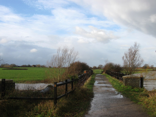
Eight Acre Shaw is a woodland area located in Sussex, England. Covering approximately eight acres, it is a natural habitat that is home to a rich diversity of plant and animal species. The shaw is characterized by its dense canopy of trees, creating a cool and shaded environment perfect for a variety of woodland flora.
The dominant tree species in Eight Acre Shaw include oak, beech, and birch, which provide a majestic and towering presence throughout the forest. Underneath the canopy, the forest floor is covered with a lush carpet of moss, ferns, and wildflowers, providing a vibrant burst of color and texture.
The woodland is also home to a diverse range of wildlife. Numerous bird species can be found here, including woodpeckers, owls, and various songbirds. Squirrels and rabbits are common sightings, and if one is lucky, they may come across the elusive deer that roam the area.
Eight Acre Shaw offers a peaceful and serene atmosphere, providing visitors with the opportunity to connect with nature and escape the hustle and bustle of everyday life. It is a popular spot for nature enthusiasts, hikers, and photographers, who come to admire the natural beauty and capture the essence of the forest.
Managed and protected by local conservation organizations, Eight Acre Shaw serves as an important ecological site, contributing to the overall biodiversity of the region. Its preservation ensures that future generations can continue to enjoy and appreciate this remarkable woodland habitat.
If you have any feedback on the listing, please let us know in the comments section below.
Eight Acre Shaw Images
Images are sourced within 2km of 50.952668/-0.26074625 or Grid Reference TQ2218. Thanks to Geograph Open Source API. All images are credited.


Eight Acre Shaw is located at Grid Ref: TQ2218 (Lat: 50.952668, Lng: -0.26074625)
Administrative County: West Sussex
District: Horsham
Police Authority: Sussex
What 3 Words
///endings.confident.moth. Near Henfield, West Sussex
Nearby Locations
Related Wikis
Wineham
Wineham is a hamlet mainly in the Shermanbury civil parish (and the same ecclesiastical parish) of the Horsham district of West Sussex, England. It is...

Shermanbury
Shermanbury is a village and civil parish in the Horsham District of West Sussex, England. It lies on the A281 road approximately 2 miles (3 km) north...
Betley Bridge
Betley Bridge is a disused railway bridge, now a rail trail bridge, which crosses the confluence of the East and West Adur rivers North of Henfield in...

Henfield
Henfield is a large village and civil parish in the Horsham District of West Sussex, England. It lies 41 miles (66 km) south of London, 12 miles (19 km...

St Peter's Church, Henfield
St Peter's Church is a Church of England parish church in the large village of Henfield, West Sussex. Placed on the site of an 8th-century Saxon church...

St Hugh's Charterhouse
St Hugh's Charterhouse, Parkminster, is the only post-Reformation Carthusian monastery in the United Kingdom. It is located in the parish of Cowfold, West...

Henfield (electoral division)
Henfield is an electoral division of West Sussex in the United Kingdom and returns one member to sit on West Sussex County Council. The current County...

Henfield railway station
Henfield was a railway station on the Steyning Line which served the village of Henfield. It was equipped with a siding which received coal to serve the...
Nearby Amenities
Located within 500m of 50.952668,-0.26074625Have you been to Eight Acre Shaw?
Leave your review of Eight Acre Shaw below (or comments, questions and feedback).