Fishers Green Wood

Wood, Forest in Hertfordshire Stevenage

England

Fishers Green Wood

Edge of Stevenage Taken from TL 237 268 looking towards Lister Hospital in the distance
Edge of Stevenage Credit: Paul Dixon

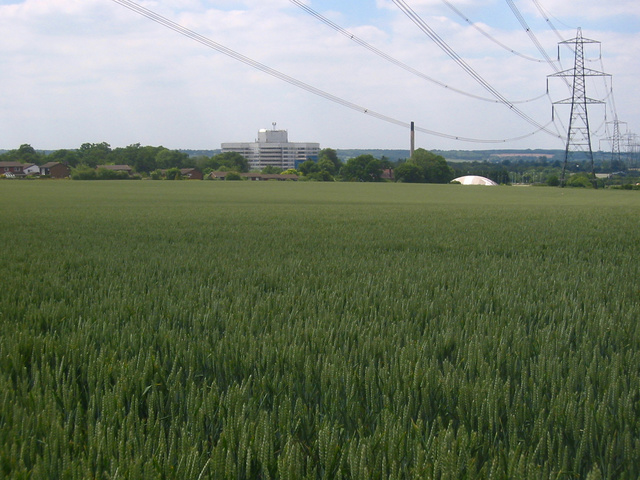
Fishers Green Wood is a picturesque woodland located in Hertfordshire, England. Covering an area of approximately 250 acres, this ancient woodland is part of the larger Lee Valley Park. It is situated near the town of Waltham Abbey and is easily accessible from London, making it a popular destination for nature lovers and hikers.

The woodland is predominantly composed of native broadleaf trees, including oak, birch, and beech, which create a rich and diverse habitat for a variety of wildlife. Visitors to Fishers Green Wood can expect to encounter numerous bird species, such as woodpeckers, nuthatches, and kingfishers, as well as mammals like foxes, deer, and badgers.

The wood is crisscrossed with a network of well-maintained footpaths and trails, allowing visitors to explore the area at their own pace. One of the highlights of Fishers Green Wood is the River Lea, which runs through the woodland, providing a tranquil setting and opportunities for boating and fishing.

In addition to its natural beauty, Fishers Green Wood also offers various recreational activities. There are designated picnic areas and open spaces for families and friends to enjoy outdoor gatherings, as well as camping facilities for those looking to spend a night under the stars.

Overall, Fishers Green Wood is a haven of tranquility and natural beauty in Hertfordshire. Whether you are a nature enthusiast, a keen hiker, or simply looking for a peaceful retreat from the hustle and bustle of city life, this woodland is sure to captivate and rejuvenate your senses.

If you have any feedback on the listing, please let us know in the comments section below.

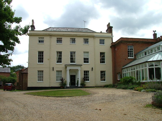
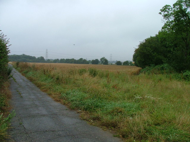
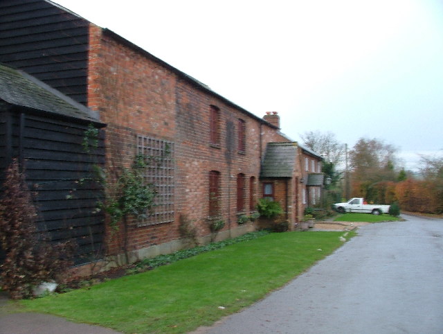
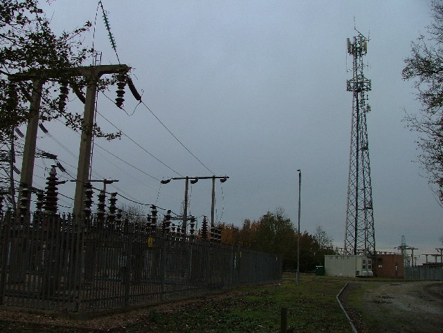
Fishers Green Wood Images

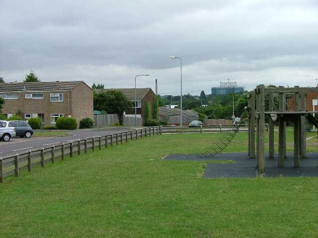
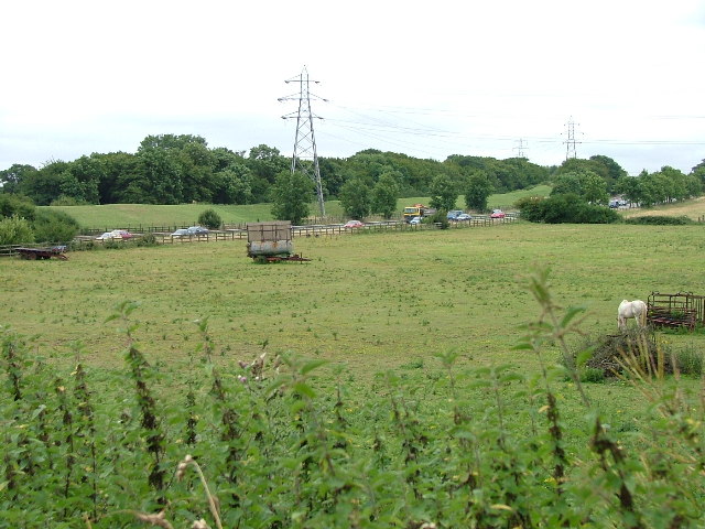
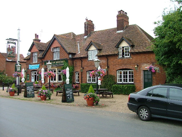
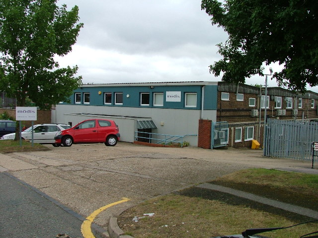
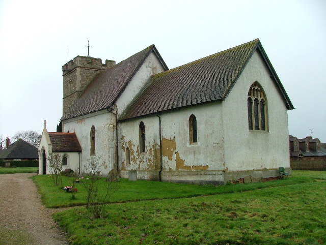
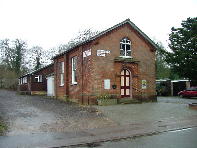
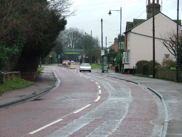
Images are sourced within 2km of 51.917246/-0.22580006 or Grid Reference TL2225. Thanks to Geograph Open Source API. All images are credited.

Edge of Stevenage Taken from TL 237 268 looking towards Lister Hospital in the distance
Edge of Stevenage
Taken from TL 237 268 looking towards Lister Hospital in the distance
Stevenage  Old Town Old towns suffer from the motor car especially when nose in parking is the rule
Stevenage Old Town
Old towns suffer from the motor car especially when nose in parking is the rule
A1(M) This really is the most interesting feature of this square, and the best thing to come out of Stevenage.
A1(M)
This really is the most interesting feature of this square, and the best thing to come out of Stevenage.
Stevenage Town Centre The clock tower features a memorial to Lewis Silkin, the Minister for Town and Country Planning.
Stevenage Town Centre
The clock tower features a memorial to Lewis Silkin, the Minister for Town and Country Planning.
Scarborough Avenue playground. Taken from Scarborough Avenue playground, in the distance, past the houses, the Lister Hospital (TL2226) can be seen.
Scarborough Avenue playground.
Taken from Scarborough Avenue playground, in the distance, past the houses, the Lister Hospital (TL2226) can be seen.
A1(M) from Shangri  La Shangri La is actually the name of the Turkey farm just to the left of the place that the photograph was taken from.  Within a moment or two the horse to the left  spotted me and decided that I might be a good source of mints.
A1(M) from Shangri La
Shangri La is actually the name of the Turkey farm just to the left of the place that the photograph was taken from. Within a moment or two the horse to the left spotted me and decided that I might be a good source of mints.
Hermit of Redcoats at Titmore Green A well thought of local hostelry and restaurant.  I had considered submitting the duck pond the other side of the road but The Hermit is better known.
Hermit of Redcoats at Titmore Green
A well thought of local hostelry and restaurant. I had considered submitting the duck pond the other side of the road but The Hermit is better known.
Warehouse on Crompton Rd This industrial estate consists of small units and this one could be any of them.  A hundred yards behind me when I took this photograph is the A1(M), but you wouldn't know it from here and a couple of hundred yards further than that is an old Roman road.
Warehouse on Crompton Rd
This industrial estate consists of small units and this one could be any of them. A hundred yards behind me when I took this photograph is the A1(M), but you wouldn't know it from here and a couple of hundred yards further than that is an old Roman road.
Wymondley House Wymondley House has been converted into (very nice) apartments.
Wymondley House
Wymondley House has been converted into (very nice) apartments.
Grinders End, Gravely This photograph is taken from Grinders end looking towards the A1(M) photo for this square.  The gantry in the other photo is hidden just behind the bushes on the right.
Grinders End, Gravely
This photograph is taken from Grinders end looking towards the A1(M) photo for this square. The gantry in the other photo is hidden just behind the bushes on the right.
Lower Titmore Green This looks like a modern barn conversion to me.  Lower Titmore Green consists of about 6 houses.
Lower Titmore Green
This looks like a modern barn conversion to me. Lower Titmore Green consists of about 6 houses.
Wymondley Main Transforming Station It hums.  And there is a telephone mast.  And there is a sign that says "Danger of Death".
Wymondley Main Transforming Station
It hums. And there is a telephone mast. And there is a sign that says "Danger of Death".
St Mary's Church Little Wymondley. Tucked away and up a track, this charming little church needs a bit of money spent on it.  Some might need to be spent on soundproofing since it is really close to the main north-south line from Kings Cross.
St Mary's Church Little Wymondley.
Tucked away and up a track, this charming little church needs a bit of money spent on it. Some might need to be spent on soundproofing since it is really close to the main north-south line from Kings Cross.
Wymondley Baptist Church. Right on the main street through Little Wymondley.
Wymondley Baptist Church.
Right on the main street through Little Wymondley.
Little Wymondley - Railway bridge and street. This used to be the main Stevenage - Hitchin road.  There is now a bypass and as a result the village is much quieter.  This view is facing west down the street towards the railway bridge.
Little Wymondley - Railway bridge and street.
This used to be the main Stevenage - Hitchin road. There is now a bypass and as a result the village is much quieter. This view is facing west down the street towards the railway bridge.
The Transfiguration of Our Lord  Catholic Church.  Grove Road Stevenage. This modern catholic church is a bit oddly placed in a residential street.  Oh Lord won't you buy me a Peugeot 206.
The Transfiguration of Our Lord Catholic Church. Grove Road Stevenage.
This modern catholic church is a bit oddly placed in a residential street. Oh Lord won't you buy me a Peugeot 206.
Bunyan Baptist Church.  Basil's Road, Stevenage. Dominates this open space on the corner of a couple of streets.
Bunyan Baptist Church. Basil's Road, Stevenage.
Dominates this open space on the corner of a couple of streets.
Middle Row, Stevenage. A 19th century pedestrian precinct?  Shown on the OS map as a footpath.
Middle Row, Stevenage.
A 19th century pedestrian precinct? Shown on the OS map as a footpath.
Show me another place!

Fishers Green Wood is located at Grid Ref: TL2225 (Lat: 51.917246, Lng: -0.22580006)

Administrative County: Hertfordshire

District: Stevenage

Police Authority: Hertfordshire

What 3 Words

///cubs.regime.neat. Near Stevenage, Hertfordshire

Related Wikis

Symonds Green

Symonds Green is a neighbourhood within the English new town of Stevenage in Hertfordshire. Although predominantly a residential area with a mixture of...

The Saint John Henry Newman Catholic School

The Saint John Henry Newman School is a Roman Catholic secondary school with academy status in Stevenage, Hertfordshire, England. In its most recent Ofsted...

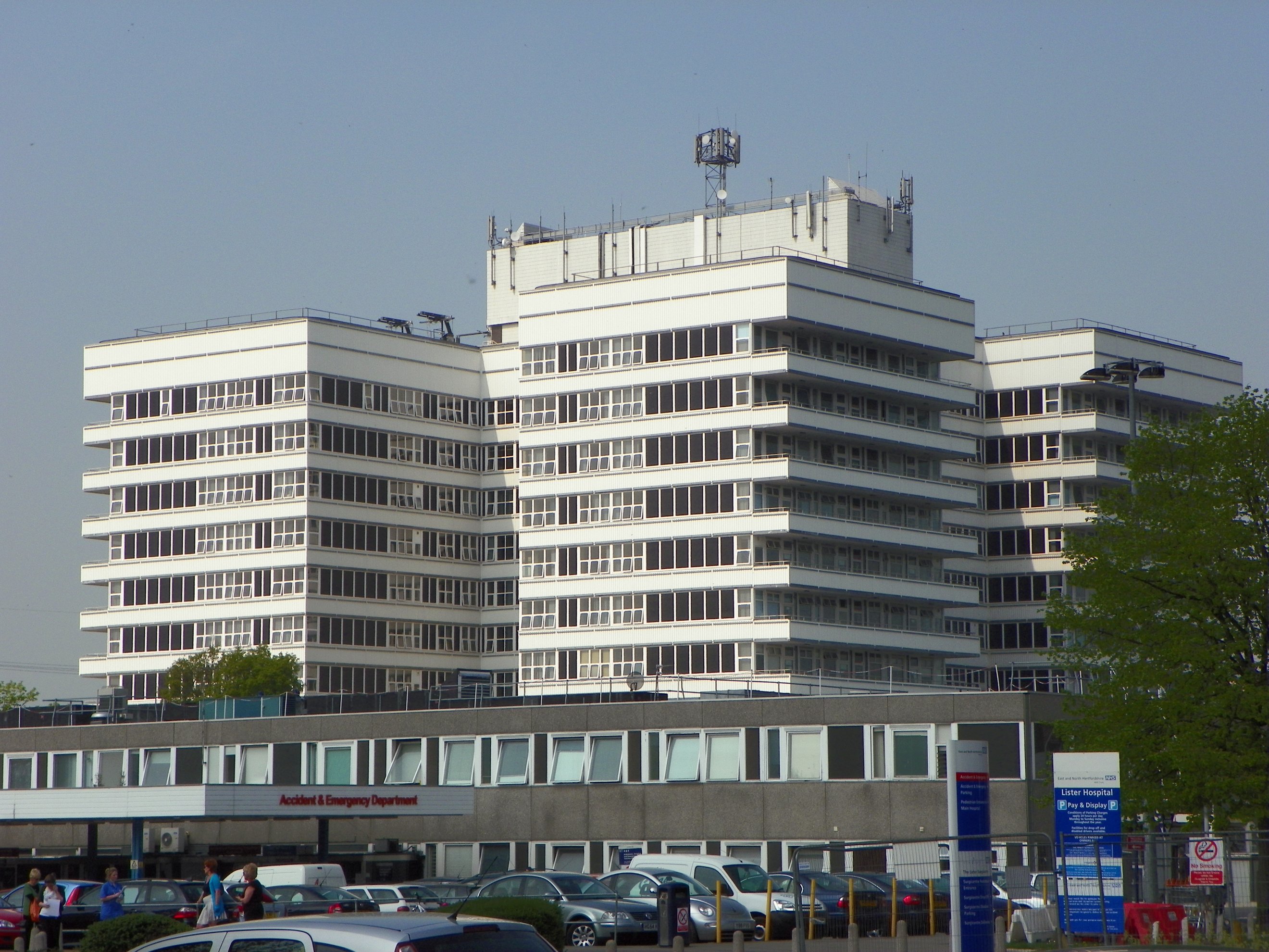
Lister Hospital, Stevenage

The Lister Hospital is an NHS hospital based on the outskirts of Stevenage in Hertfordshire. It is operated by the East and North Hertfordshire NHS Trust...

The Thomas Alleyne Academy

The Thomas Alleyne Academy is an Academy in Stevenage, Hertfordshire, England. It was founded in 2013, but can trace its roots back to 1558, when the...

Nearby Amenities

Located within 500m of 51.917246,-0.22580006
Fishers Green
Place: suburb
Lat/Long: 51.92003/-0.2214557
Mini Roundabout
Direction: clockwise
Lat/Long: 51.9184937/-0.222423
Barrier: kissing_gate
Lat/Long: 51.920033/-0.2283878
Barrier: kissing_gate
Lat/Long: 51.9206617/-0.2299462
Barrier: kissing_gate
Lat/Long: 51.9166187/-0.230203
Power: tower
Lat/Long: 51.9132833/-0.2271778
Power: tower
Lat/Long: 51.9157699/-0.2270008
Power: tower
Lat/Long: 51.9185012/-0.2255768
Note: FIXME - needs to be surveyed
Power: tower
Lat/Long: 51.921067/-0.2279728
Crossing
Crossing: unmarked
Crossing Island: no
Kerb: lowered
Tactile Paving: no
Lat/Long: 51.9130782/-0.2260724
Crossing
Bicycle: yes
Crossing: unmarked
Crossing Island: yes
Tactile Paving: no
Lat/Long: 51.9157956/-0.220874
Traffic Calming: cushion
Lat/Long: 51.9180997/-0.2198917
Fixme: This footpath should continue through the pub but it isn't clear where it goes - resurvey
Lat/Long: 51.9195734/-0.2236663
Barrier: kissing_gate
Lat/Long: 51.9181438/-0.2304366
Phone
Check Date: 2023-01-12
Emergency: phone
Lat/Long: 51.9205556/-0.2244204
Bus Stop
Cycle Track
Bench: yes
Bin: yes
Lit: yes
Naptan AtcoCode: 210021200600
Naptan Bearing: NW
Naptan CommonName: Cycle Track
Naptan Crossing: Scarborough Avenue
Naptan Indicator: NW-bound
Naptan Landmark: Scarborough Avenue
Naptan NaptanCode: hrtgagdw
Naptan PlusbusZoneRef: STEVNGE
Naptan ShortCommonName: NA
Naptan Street: Scarborough Avenue
Naptan Verified: no
Shelter: yes
Source: naptan_import
Lat/Long: 51.91538/-0.2201121
Bus Stop
Hopton Road
Bench: yes
Bin: no
Lit: yes
Local Ref: NR
Naptan AtcoCode: 210021200620
Naptan Bearing: NW
Naptan CommonName: Hopton Road
Naptan Crossing: opp Skegness Road
Naptan Indicator: nr
Naptan Landmark: opp Skegness Road
Naptan NaptanCode: hrtgagja
Naptan PlusbusZoneRef: STEVNGE
Naptan ShortCommonName: NA
Naptan Street: Scarborough Avenue
Naptan Verified: no
Shelter: yes
Source: naptan_import
Tactile Paving: no
Lat/Long: 51.9163498/-0.2224003
Bus Stop
Corton Close
Bench: yes
Bin: yes
Lit: yes
Naptan AtcoCode: 210021200700
Naptan Bearing: SE
Naptan CommonName: Corton Close
Naptan Crossing: Corton Close
Naptan Indicator: E-bound
Naptan Landmark: Corton Close
Naptan NaptanCode: hrtgagjg
Naptan PlusbusZoneRef: STEVNGE
Naptan ShortCommonName: NA
Naptan Street: Fishers Green Road
Naptan Verified: no
Shelter: yes
Source: naptan_import
Tactile Paving: no
Lat/Long: 51.9188737/-0.2210209
Bus Stop
Southsea Road
Bench: no
Bin: no
Lit: yes
Naptan AtcoCode: 210021203740
Naptan Bearing: NW
Naptan CommonName: Southsea Road
Naptan Crossing: Bournemouth Road
Naptan Indicator: adj
Naptan Landmark: Bournemouth Road
Naptan NaptanCode: hrtdwjmd
Naptan PlusbusZoneRef: STEVNGE
Naptan ShortCommonName: NA
Naptan Street: Fishers Green Road
Naptan Verified: no
Shelter: no
Source: naptan_import
Tactile Paving: no
Lat/Long: 51.9179054/-0.2188343
Post Box
Check Date: 2021-01-24
Collection Times: Mo-Fr 17:30; Sa 12:00
Post Box Type: pillar
Ref: SG1 123
Lat/Long: 51.916313/-0.224109
Post Box
Check Date: 2021-01-24
Collection Times: Mo-Fr 17:30; Sa 12:00
Post Box Type: lamp
Ref: SG1 129
Lat/Long: 51.91544/-0.219893
Barrier: kissing_gate
Lat/Long: 51.9191801/-0.227836
Traffic Calming: cushion
Lat/Long: 51.9179555/-0.218824
Traffic Calming: cushion
Lat/Long: 51.9184773/-0.2205463
Traffic Calming: cushion
Lat/Long: 51.9189268/-0.2212078
Waste Basket
Lat/Long: 51.9145238/-0.2258232
Waste Basket
Lat/Long: 51.9200643/-0.2202523
Waste Basket
Lat/Long: 51.9197748/-0.2209255
Waste Basket
Lat/Long: 51.9200354/-0.2222706
Bench
Backrest: yes
Lat/Long: 51.9197455/-0.2219548
Bench
Backrest: yes
Lat/Long: 51.9190428/-0.221132
Bench
Backrest: yes
Lat/Long: 51.9192463/-0.2213761
Waste Basket
Lat/Long: 51.9195498/-0.2230646
Waste Basket
Lat/Long: 51.9190337/-0.2246216
Waste Basket
Lat/Long: 51.9149523/-0.2270249
Waste Basket
Lat/Long: 51.9147008/-0.2267003
Waste Basket
Lat/Long: 51.9143137/-0.2251473
Grit Bin
Lat/Long: 51.9162928/-0.2237385
Waste Basket
Lat/Long: 51.9163222/-0.2240583
Waste Basket
Lat/Long: 51.9164612/-0.2226529
Waste Basket
Lat/Long: 51.9153709/-0.2200712
Barrier: bollard
Lat/Long: 51.9205469/-0.2234751
Waste Basket
Lat/Long: 51.920554/-0.2232349
Material: wood
Power: pole
Lat/Long: 51.9133791/-0.2287044
Material: wood
Power: pole
Lat/Long: 51.9143732/-0.2275398
Material: wood
Power: pole
Lat/Long: 51.9140026/-0.228653
Material: wood
Power: pole
Lat/Long: 51.914729/-0.2274795
Material: wood
Power: pole
Lat/Long: 51.9143244/-0.2282801
Material: wood
Power: pole
Lat/Long: 51.9134914/-0.2284243
Material: wood
Power: pole
Lat/Long: 51.9140093/-0.2283841
Material: wood
Power: pole
Lat/Long: 51.9140407/-0.2294375
Material: wood
Power: pole
Lat/Long: 51.9139509/-0.2294824
Barrier: entrance
Lat/Long: 51.9200213/-0.2206627
The data included in this document is from www.openstreetmap.org. The data is made available under ODbL.

Have you been to Fishers Green Wood?

Leave your review of Fishers Green Wood below (or comments, questions and feedback).