Firtree Mount Wood
Wood, Forest in Sussex Horsham
England
Firtree Mount Wood

Firtree Mount Wood is a picturesque woodland located in the county of Sussex, England. Covering an area of approximately 100 acres, this enchanting forest is known for its diverse range of tree species and tranquil atmosphere.
The wood is primarily composed of several species of fir trees, hence its name, which provide a dense canopy of evergreen foliage throughout the year. These towering trees create a sense of seclusion and serenity, making it a popular destination for nature enthusiasts and hikers seeking a peaceful retreat.
Aside from firs, Firtree Mount Wood also features a variety of other tree species, including oak, beech, and birch. This diversity contributes to the vibrant colors displayed during the autumn months, when the foliage transforms into a breathtaking tapestry of reds, oranges, and yellows.
The forest is home to an array of wildlife, with sightings of deer, foxes, and numerous bird species being common. Nature lovers can enjoy observing these animals in their natural habitat, as well as discovering an assortment of flora and fauna that thrive within the wood.
Firtree Mount Wood offers several well-maintained walking paths, allowing visitors to explore its beauty at their own pace. These trails wind through the woodland, guiding adventurers past glistening streams, picturesque clearings, and hidden glades. Whether it's a leisurely stroll or a more vigorous hike, there are routes suitable for all fitness levels.
Overall, Firtree Mount Wood is a captivating forest that offers a tranquil escape from the hustle and bustle of everyday life. Its enchanting beauty and diverse ecosystems make it a beloved destination for nature lovers and a cherished part of Sussex's natural heritage.
If you have any feedback on the listing, please let us know in the comments section below.
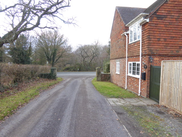
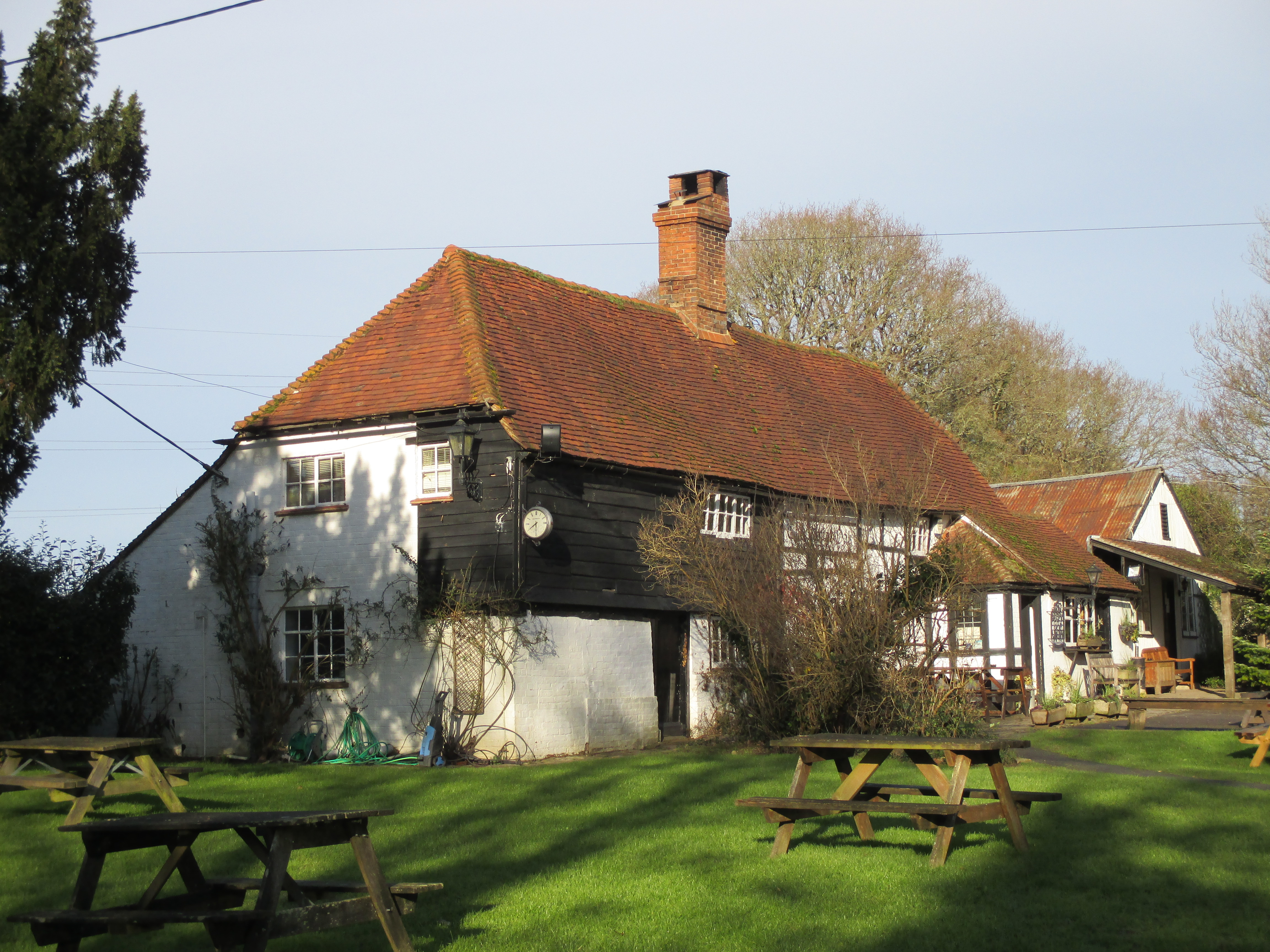
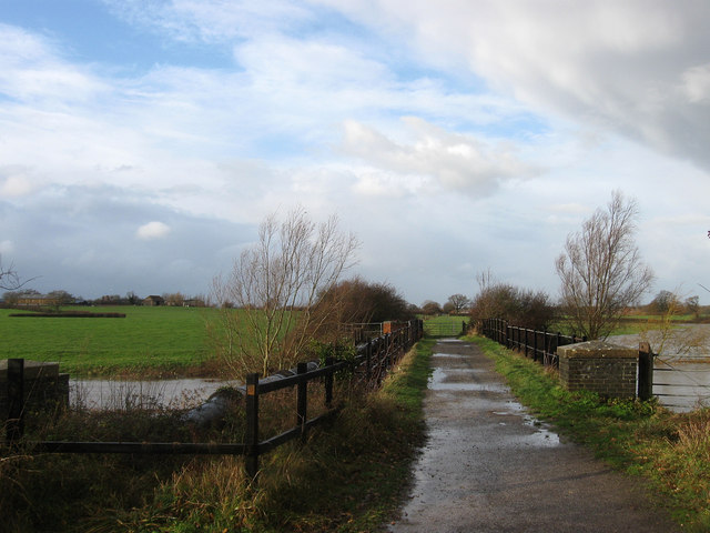
Firtree Mount Wood Images
Images are sourced within 2km of 50.962018/-0.26663445 or Grid Reference TQ2119. Thanks to Geograph Open Source API. All images are credited.


Firtree Mount Wood is located at Grid Ref: TQ2119 (Lat: 50.962018, Lng: -0.26663445)
Administrative County: West Sussex
District: Horsham
Police Authority: Sussex
What 3 Words
///cheesy.unpacked.mailer. Near Cowfold, West Sussex
Nearby Locations
Related Wikis

Shermanbury
Shermanbury is a village and civil parish in the Horsham District of West Sussex, England. It lies on the A281 road approximately 2 miles (3 km) north...

St Hugh's Charterhouse
St Hugh's Charterhouse, Parkminster, is the only post-Reformation Carthusian monastery in the United Kingdom. It is located in the parish of Cowfold, West...
Wineham
Wineham is a hamlet mainly in the Shermanbury civil parish (and the same ecclesiastical parish) of the Horsham district of West Sussex, England. It is...

Henfield (electoral division)
Henfield is an electoral division of West Sussex in the United Kingdom and returns one member to sit on West Sussex County Council. The current County...

Dark Star Brewing Company
Dark Star is a brewery in Partridge Green, Sussex, England. == History == Dark Star Brewery was established in 1994, brewing in the cellar of the Evening...
Betley Bridge
Betley Bridge is a disused railway bridge, now a rail trail bridge, which crosses the confluence of the East and West Adur rivers North of Henfield in...

Littleworth, West Sussex
Littleworth is a hamlet in the Horsham District of West Sussex, England. It lies on the Partridge Green to Maplehurst road 2.9 miles (4.7 km) north of...

Partridge Green railway station
Partridge Green was a railway station on the Steyning Line which served the village of Partridge Green. The station closed as a result of the Beeching...
Nearby Amenities
Located within 500m of 50.962018,-0.26663445Have you been to Firtree Mount Wood?
Leave your review of Firtree Mount Wood below (or comments, questions and feedback).