Long Plantation
Wood, Forest in Huntingdonshire Huntingdonshire
England
Long Plantation
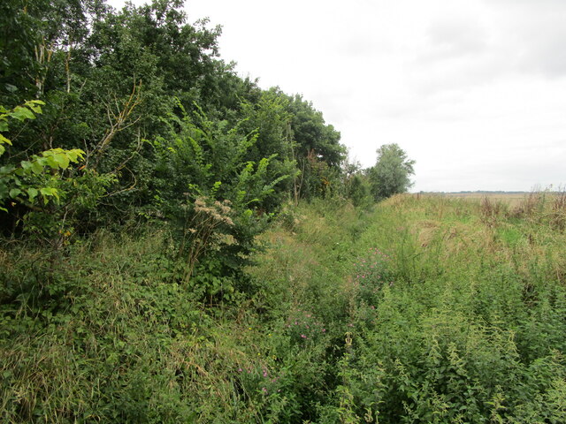
Long Plantation is a well-preserved woodland located in Huntingdonshire, a county in the eastern region of England. Covering an area of approximately 100 hectares, this plantation is renowned for its dense and diverse forest ecosystem.
The woodland is characterized by a variety of tree species, including oak, beech, birch, and pine, which create a rich and vibrant natural landscape. The trees provide a habitat for numerous wildlife species, such as deer, squirrels, and a variety of bird species, making Long Plantation a popular destination for nature enthusiasts and wildlife watchers.
The plantation is managed by local authorities with a focus on conservation and sustainable forestry practices. The management plan includes regular tree planting and maintenance to ensure the continuous growth and health of the woodland. Additionally, paths and trails have been established throughout the plantation, allowing visitors to explore the area while minimizing disturbance to the natural environment.
Long Plantation offers a tranquil and peaceful retreat for visitors, with its serene atmosphere and picturesque scenery. The woodland attracts a range of outdoor activities, including hiking, birdwatching, and nature photography. It is also a favored location for educational visits, providing an opportunity for students and researchers to study the diverse flora and fauna that thrive within its boundaries.
Overall, Long Plantation in Huntingdonshire is a cherished natural resource, offering a haven for both wildlife and people alike. Its well-maintained woodland and diverse ecosystem make it a valuable asset to the region's biodiversity and a place of beauty for all who visit.
If you have any feedback on the listing, please let us know in the comments section below.
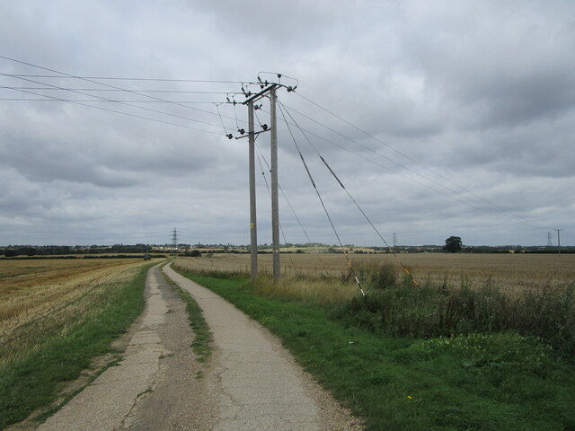
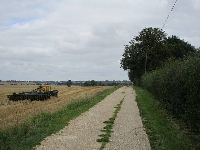
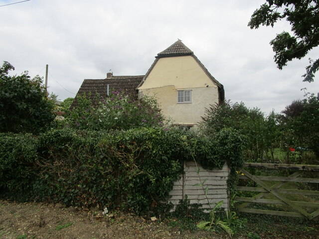
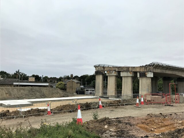
Long Plantation Images
Images are sourced within 2km of 52.334701/-0.21586314 or Grid Reference TL2172. Thanks to Geograph Open Source API. All images are credited.


Long Plantation is located at Grid Ref: TL2172 (Lat: 52.334701, Lng: -0.21586314)
Administrative County: Cambridgeshire
District: Huntingdonshire
Police Authority: Cambridgeshire
What 3 Words
///decks.centrally.stars. Near Brampton, Cambridgeshire
Nearby Locations
Related Wikis

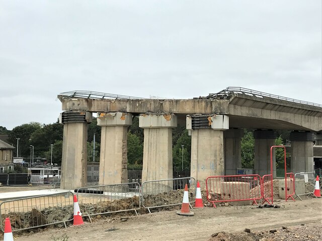
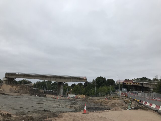
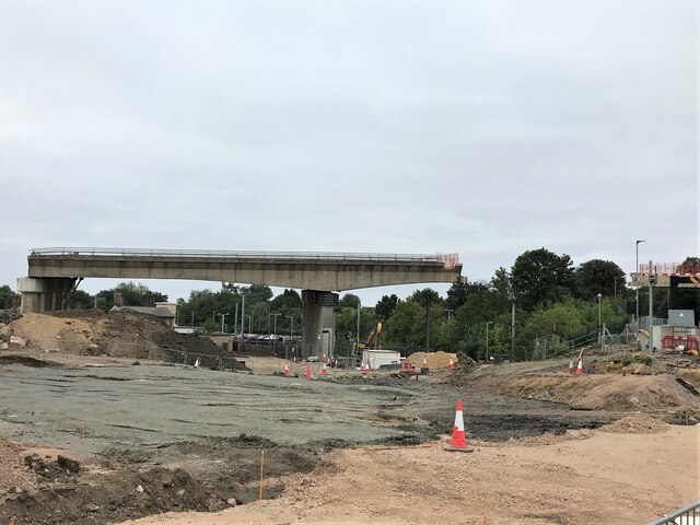
Spittals Interchange
Spittals Interchange is the roundabout on the junction between the A141 and A1307 north of Huntingdon, England. The junction is unusual in that pre 2020...

Hinchingbrooke Hospital
Hinchingbrooke Hospital is a small district general hospital in Hinchingbrooke near Huntingdon, Cambridgeshire. Opened in 1983, it serves the Huntingdonshire...
Sedgwick Club
The Sedgwick Club is the official student geological society at the University of Cambridge, and is the oldest student-run geological society in the world...
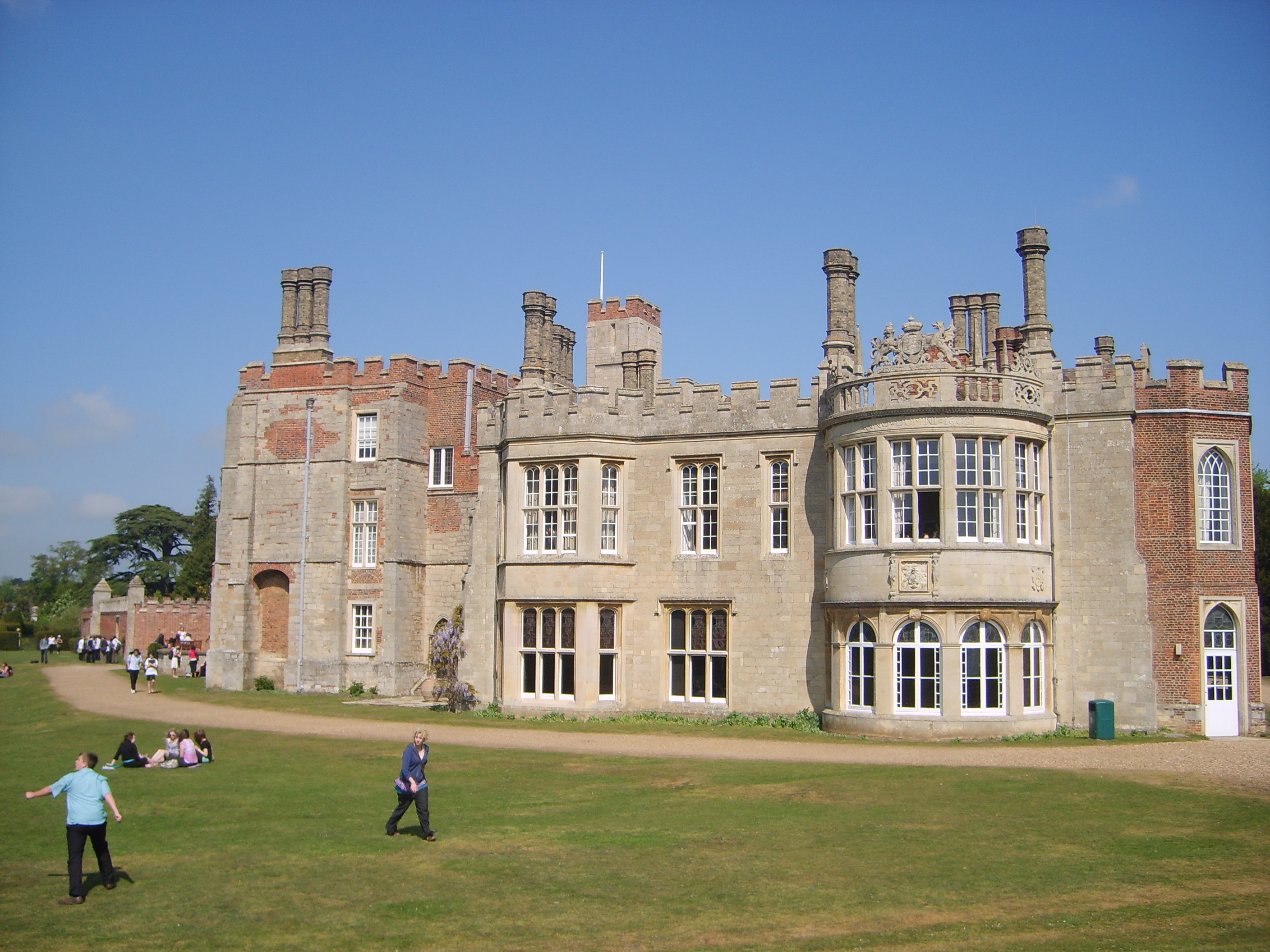
Hinchingbrooke House
Hinchingbrooke House is an English stately home in Huntingdon, Cambridgeshire, now part of Hinchingbrooke School. The house was built around an 11th-century...
Hinchingbrooke School
Hinchingbrooke School is a large secondary school situated on the outskirts of Huntingdon in Cambridgeshire, historically in Huntingdonshire. Originally...

Huntingdon Racecourse
Huntingdon Racecourse is a thoroughbred horse racing venue located in Brampton near Huntingdon, Cambridgeshire, England. It is located on a Site of Special...

Brampton Racecourse
Brampton Racecourse is a 21.1-hectare (52-acre) biological Site of Special Scientific Interest north of Brampton in Cambridgeshire. The site is also a...
Brampton Grange
Brampton Grange in Brampton, Cambridgeshire, England, is a historic building that dates to 1773. Used as a school in the 19th century, the building was...
Nearby Amenities
Located within 500m of 52.334701,-0.21586314Have you been to Long Plantation?
Leave your review of Long Plantation below (or comments, questions and feedback).