Beech Wood

Wood, Forest in Middlesex

England

Beech Wood

Edgware: Meadfield Viewed looking northwards.
Edgware: Meadfield Credit: Nigel Cox

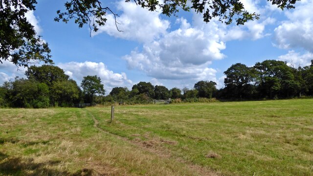
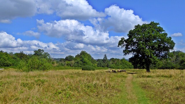
Beech Wood, Middlesex is a picturesque woodland located in the county of Middlesex, England. Covering an area of approximately 50 hectares, this woodland is known for its stunning beech trees that dominate the landscape. It is situated on the outskirts of the town of Middlesex, providing a peaceful and tranquil escape from the bustling urban environment.

The woodland boasts a diverse range of flora and fauna, making it a haven for nature enthusiasts. Apart from the beech trees, the wood is also filled with other native tree species such as oak, ash, and birch, creating a rich and varied ecosystem. The forest floor is carpeted with an array of wildflowers, adding vibrant colors to the surroundings during the spring and summer months.

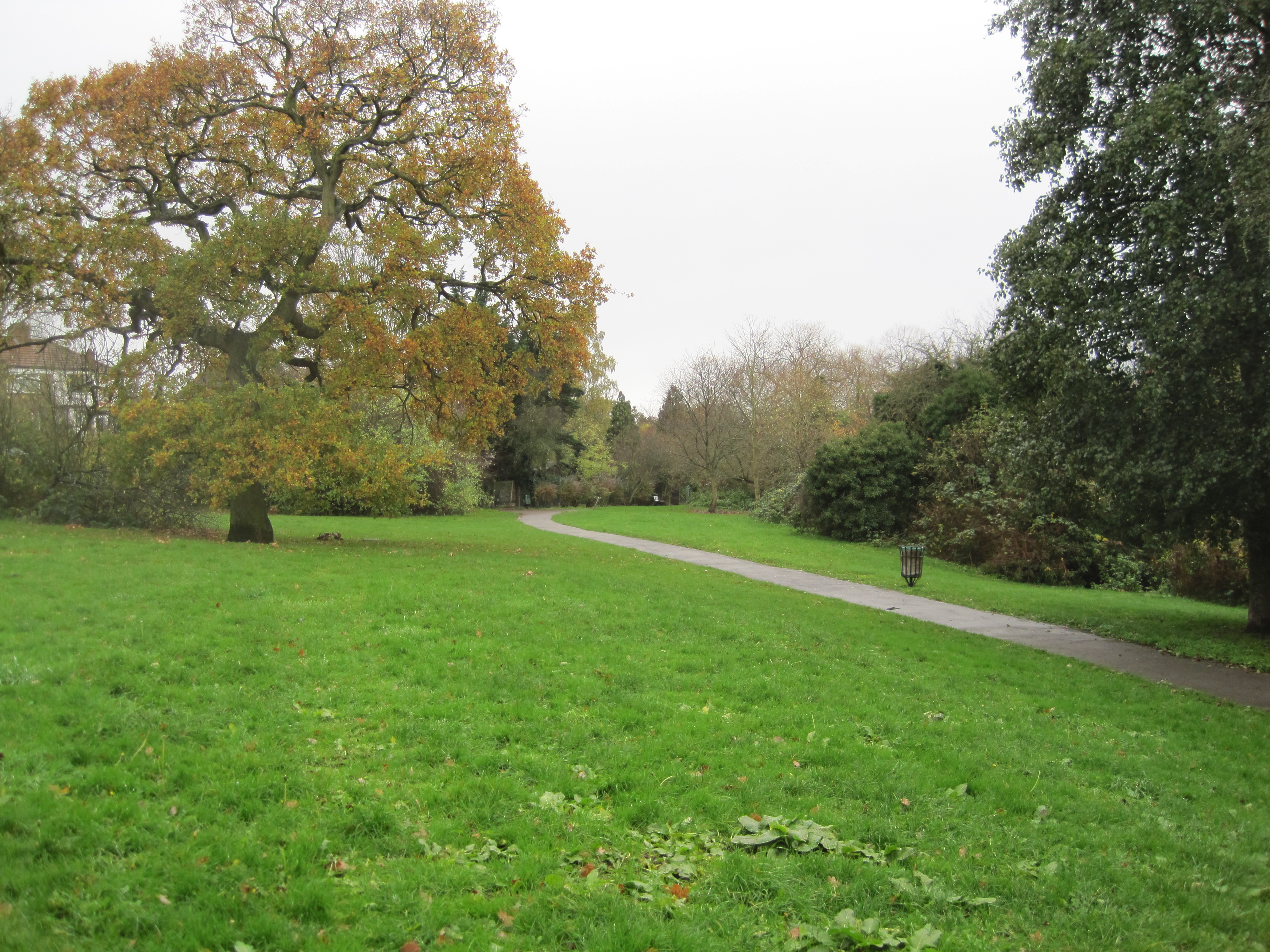
Beech Wood offers visitors a range of recreational activities. There are well-maintained walking trails that meander through the woodland, providing a perfect opportunity for leisurely strolls or more strenuous hikes. The trails offer breathtaking views of the surrounding countryside and the chance to spot various wildlife species, including deer, foxes, and a wide variety of bird species.

The woodland is managed by a dedicated team who ensure its conservation and preservation. They regularly undertake tree maintenance and manage the wood's biodiversity through careful habitat management practices. Additionally, there are designated picnic areas and benches scattered throughout the wood, providing visitors with the opportunity to relax and enjoy the peaceful ambiance.

Overall, Beech Wood, Middlesex is a natural treasure that offers visitors a chance to immerse themselves in the beauty of nature. Whether it's a leisurely walk, a picnic, or birdwatching, this woodland provides a delightful escape for individuals seeking solace in the great outdoors.

If you have any feedback on the listing, please let us know in the comments section below.
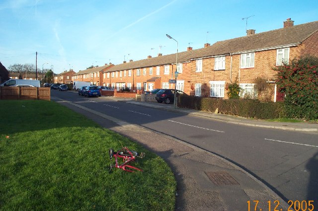
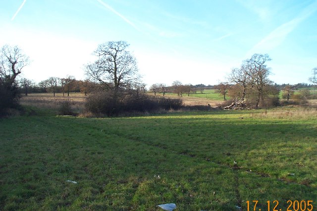
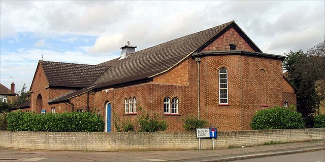
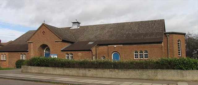
Beech Wood Images

Images are sourced within 2km of 51.628769/-0.24534195 or Grid Reference TQ2193. Thanks to Geograph Open Source API. All images are credited.

Edgware: Meadfield Viewed looking northwards.
Edgware: Meadfield
Viewed looking northwards.
Edgwarebury: Farmland The very northern edge of built-up London here, where the houses end and the countryside begins. This view was taken looking north westwards from the end of Warrens Shawe Lane. There is a large stream flowing in the bottom of the valley which the Ordnance Survey, for some reason, ignores on both the 1:50,000 and 1:25,000 scale maps.
Edgwarebury: Farmland
The very northern edge of built-up London here, where the houses end and the countryside begins. This view was taken looking north westwards from the end of Warrens Shawe Lane. There is a large stream flowing in the bottom of the valley which the Ordnance Survey, for some reason, ignores on both the 1:50,000 and 1:25,000 scale maps.
St Andrew, Lynford Gardens, Edgware
St Andrew, Lynford Gardens, Edgware - East end
St Andrew, Lynford Gardens, Edgware - Doorway
On the London Loop near Brent Lodge Farm
Mill Hill Broadway View towards the northwest, from the island platforms.
Mill Hill Broadway
View towards the northwest, from the island platforms.
Mill Hill Broadway View towards the southeast, from the island platforms.
Mill Hill Broadway
View towards the southeast, from the island platforms.
Mill Hill Broadway Bus stand, beside the railway station and beneath the M1 motorway.
Mill Hill Broadway
Bus stand, beside the railway station and beneath the M1 motorway.
Mill Hill A5100, The Broadway.
Mill Hill
A5100, The Broadway.
Mill Hill The gap between the two railway bridges, on the A5100, immediately north of the station
Mill Hill
The gap between the two railway bridges, on the A5100, immediately north of the station
Mill Hill The A5100, immediately north of the railway station. There are two railway bridges, plus a third which carries the M1 motorway.
Mill Hill
The A5100, immediately north of the railway station. There are two railway bridges, plus a third which carries the M1 motorway.
Evening Light, London N14 Liked the colour of the clouds and the vapour trails.
Evening Light, London N14
Liked the colour of the clouds and the vapour trails.
Totteridge Fields The nature reserve covers over 30 fields to the north of Totteridge Common,  stretching between Hendon Wood Lane in the west and Grange Avenue in the east.  It lies along the valley of the Dollis Brook, which flows from west to east through the site, with fields rising gently on either side.

Totteridge Fields once produced hay for London’s horse-traffic. In the early 1990s local people successfully opposed plans for a cemetery covering three fields. This led to the site coming under the management of the London Wildlife Trust from 1993. 

Traditional hay-cutting methods are still used, with volunteers mowing alternative areas each year to help conserve the richly diverse plant and invertebrate population.  This work is supplemented by conservation grazing with traditional breeds of cattle, first introduced in 2014.
Totteridge Fields
The nature reserve covers over 30 fields to the north of Totteridge Common, stretching between Hendon Wood Lane in the west and Grange Avenue in the east. It lies along the valley of the Dollis Brook, which flows from west to east through the site, with fields rising gently on either side. Totteridge Fields once produced hay for London’s horse-traffic. In the early 1990s local people successfully opposed plans for a cemetery covering three fields. This led to the site coming under the management of the London Wildlife Trust from 1993. Traditional hay-cutting methods are still used, with volunteers mowing alternative areas each year to help conserve the richly diverse plant and invertebrate population. This work is supplemented by conservation grazing with traditional breeds of cattle, first introduced in 2014.
Hale Lane, Edgware At the corner of Alders Road
Hale Lane, Edgware
At the corner of Alders Road
John Keble Church, Burnt Oak
Deans Lane, Burnt Oak Looking towards Church Close with John Keble Church on the left.
Deans Lane, Burnt Oak
Looking towards Church Close with John Keble Church on the left.
Show me another place!

Beech Wood is located at Grid Ref: TQ2193 (Lat: 51.628769, Lng: -0.24534195)

Unitary Authority: Barnet

Police Authority: Metropolitan

What 3 Words

///races.hooked.filled. Near Edgware, London

Nearby Locations

Beech Wood Highwood Hill

Related Wikis

Mill Hill County High School

Mill Hill County High School is a large secondary school with academy status located in Mill Hill, London, England. It was the first comprehensive school...

Rising Sun, Mill Hill

The Rising Sun is a Grade II listed public house at Highwood Hill and 137 Marsh Lane, Mill Hill, London.It was built in the late 17th century.It is currently...

Moat Mount Open Space

Moat Mount Open Space is a 110-hectare park and nature reserve in Mill Hill in the London Borough of Barnet. It is part of Moat Mount Open Space and Mote...

Totteridge Fields

Totteridge Fields is a 97-hectare Site of Metropolitan Importance for Nature Conservation (SINC) in Totteridge in the London Borough of Barnet. The SINC...

The Mill Field

The Mill Field is a 3.4-hectare (8.4-acre) Site of Borough Importance for Nature Conservation, Grade II, in Mill Hill in the London Borough of Barnet....

Hendon North (UK Parliament constituency)

Hendon North was a constituency in the former Municipal Borough of Hendon (later subsumed into the London Borough of Barnet) which returned one Member...

Barnet Gate Wood

Barnet Gate Wood is a public open space in Barnet Gate, Barnet, London. It is owned and managed by the London Borough of Barnet, and is part of the Watling...

Stoneyfields Park

Stoneyfields Park is a three-hectare public park in The Hale in the London Borough of Barnet.The park is mainly a grassland area with a small wood, hedgerows...

Nearby Amenities

Located within 500m of 51.628769,-0.24534195
Traffic Signals
Lat/Long: 51.6272859/-0.2414937
Give Way
Direction: backward
Lat/Long: 51.6286979/-0.2470764
Ref GB Tflcid: RWG287217
Traffic Calming: hump
Lat/Long: 51.6282501/-0.2463819
Turning Circle
Lat/Long: 51.6280286/-0.2519338
Traffic Signals
Traffic Signals: signal
Lat/Long: 51.6270572/-0.2415986
Post Box
Operator: Royal Mail
Operator Wikidata: Q638098
Ref: NW7 4
Lat/Long: 51.6272095/-0.2415724
Bus Stop
Mill Hill / The Rising Sun
Naptan AtcoCode: 490009901N
Naptan Bearing: N
Naptan CommonName: Highwood Hill Rising Sun
Naptan Street: HIGHWOOD HILL
Naptan Verified: no
Public Transport: platform
Lat/Long: 51.6269929/-0.2414155
Bus Stop
Mill Hill / The Rising Sun
Naptan AtcoCode: 490009901S
Naptan Bearing: S
Naptan CommonName: Highwood Hill Rising Sun
Naptan Indicator: Stop
Naptan Verified: no
Public Transport: platform
Lat/Long: 51.627245/-0.2410184
Post Box
Operator: Royal Mail
Operator Wikidata: Q638098
Ref: NW7 50
Lat/Long: 51.6266749/-0.2505693
Ref GB Tflcid: RWG287209
Traffic Calming: hump
Lat/Long: 51.6306731/-0.2426587
Highwood Hill
Place: neighbourhood
Lat/Long: 51.6272982/-0.2418093
Access: private
Barrier: lift_gate
Lat/Long: 51.6290926/-0.2474132
Turning Loop
Lat/Long: 51.6316104/-0.2464922
Ref GB Tflcid: RWG287204
Traffic Calming: hump
Lat/Long: 51.6247628/-0.2463695
Ref GB Tflcid: RWG287205
Traffic Calming: hump
Lat/Long: 51.6243776/-0.2461057
Ref GB Tflcid: RWG287208
Traffic Calming: hump
Lat/Long: 51.6298153/-0.2422954
Ref GB Tflcid: RWG287210
Traffic Calming: hump
Lat/Long: 51.6316276/-0.2430241
Ref GB Tflcid: RWG287221
Traffic Calming: hump
Lat/Long: 51.6266347/-0.2496905
Ref GB Tflcid: RWG287219
Traffic Calming: hump
Lat/Long: 51.6272873/-0.2506845
Ref GB Tflcid: RWG287222
Traffic Calming: hump
Lat/Long: 51.6267844/-0.2479233
Ref GB Tflcid: RWG287220
Traffic Calming: hump
Lat/Long: 51.6266381/-0.2502633
Barrier: kissing_gate
Lat/Long: 51.6251562/-0.2441217
Give Way
Direction: forward
Lat/Long: 51.6262983/-0.248468
Give Way
Direction: backward
Lat/Long: 51.6266658/-0.2480678
Give Way
Direction: forward
Lat/Long: 51.626602/-0.2485694
Give Way
Direction: backward
Lat/Long: 51.6287615/-0.2470157
Give Way
Direction: forward
Lat/Long: 51.6286696/-0.246847
Access: customers
Barrier: lift_gate
Lat/Long: 51.6280377/-0.2520619
The data included in this document is from www.openstreetmap.org. The data is made available under ODbL.

Have you been to Beech Wood?

Leave your review of Beech Wood below (or comments, questions and feedback).