Low Dar Wood
Wood, Forest in Lincolnshire East Lindsey
England
Low Dar Wood
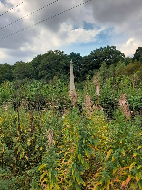
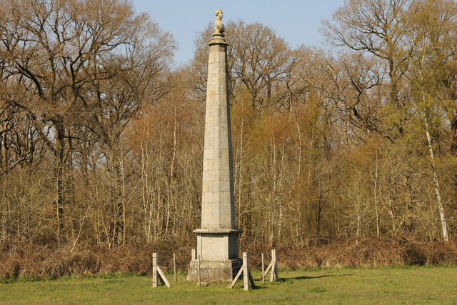
Low Dar Wood is a picturesque forest located in Lincolnshire, England. Covering an area of approximately 100 acres, this woodland is predominantly made up of mature oak and beech trees, creating a lush and vibrant environment. The forest is known for its dense canopy, providing a cool and shaded atmosphere, perfect for nature lovers and hikers seeking tranquility.
The forest floor is adorned with a rich variety of flora, including bluebells, wild garlic, and ferns, adding to the woodland's natural beauty. This diverse ecosystem also attracts a wide range of wildlife, making it a popular spot for birdwatching and wildlife enthusiasts. Visitors may spot various bird species, such as woodpeckers, tits, and finches, as well as mammals like foxes, squirrels, and deer.
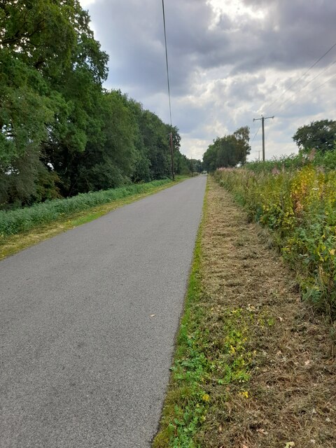
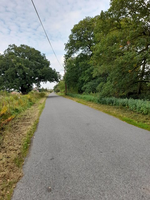
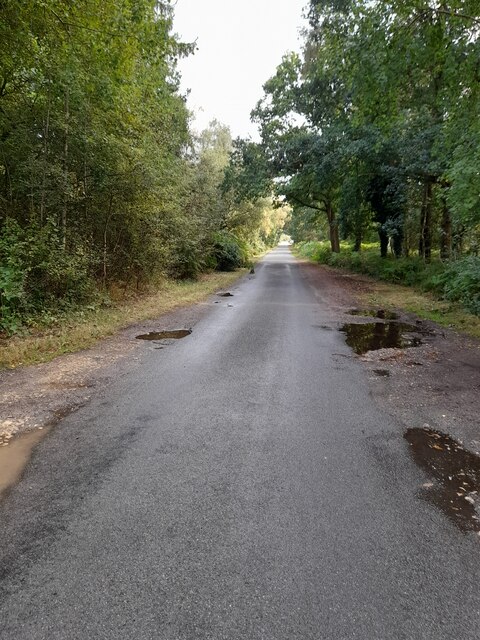
Low Dar Wood offers several well-maintained walking trails, allowing visitors to explore its natural wonders at their own pace. These paths wind through the forest, offering glimpses of enchanting clearings and babbling brooks along the way. The forest is also home to a small picnic area, providing a perfect spot for visitors to relax and enjoy the peaceful surroundings.
Situated just a short drive from the village of Lincolnshire, Low Dar Wood offers a serene escape from the bustling city life. Its natural beauty, diverse wildlife, and well-maintained trails make it an ideal destination for outdoor enthusiasts, nature lovers, and families looking to immerse themselves in the tranquility of the forest.
If you have any feedback on the listing, please let us know in the comments section below.
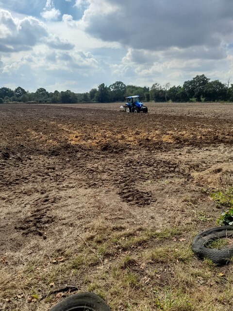
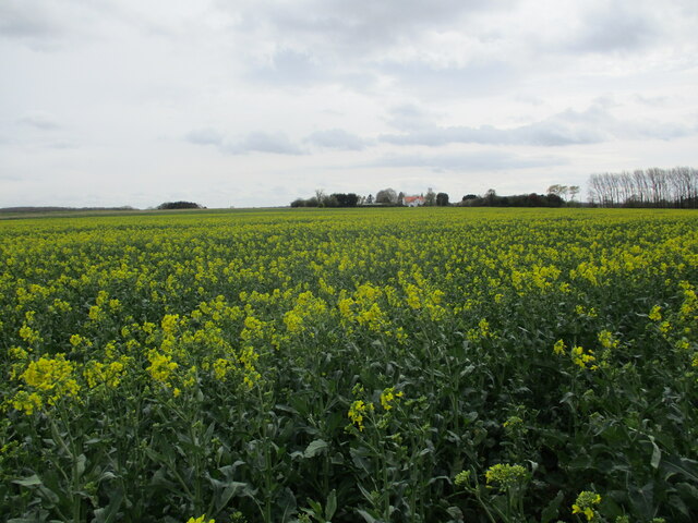
Low Dar Wood Images
Images are sourced within 2km of 53.182372/-0.19271711 or Grid Reference TF2066. Thanks to Geograph Open Source API. All images are credited.


Low Dar Wood is located at Grid Ref: TF2066 (Lat: 53.182372, Lng: -0.19271711)
Administrative County: Lincolnshire
District: East Lindsey
Police Authority: Lincolnshire
What 3 Words
///loose.outsmart.parked. Near Woodhall Spa, Lincolnshire
Nearby Locations
Related Wikis

High Dar Wood
High Dar Wood is a small woodland in the hamlet of Linwood in the parish of Stixwould and Woodhall, Lincolnshire. It is approximately a fifth of a mile...
Highall Wood
Highall Wood is a woodland to the north east of the village of Woodhall Spa, Lincolnshire. It is bordered by Park Plantation to the east and White Hall...
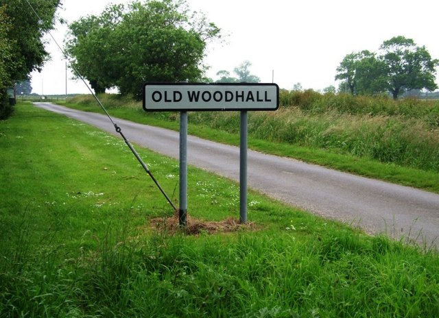
Old Woodhall
Old Woodhall or Woodhall, is a village and former civil parish, now in the parish of Stixwould and Woodhall, in the East Lindsey district, in the county...
Big Rous Holt
Big Rous Holt is a small woodland beside the B1191 (Horncastle Road) to the north east of the village of Woodhall Spa in Lincolnshire on Roughton Moor...
Roughton Scrubs
Roughton Scrubs is a small woodland beside the B1191 (Horncastle Road) to the north east of the village of Woodhall Spa in Lincolnshire on Roughton Moor...
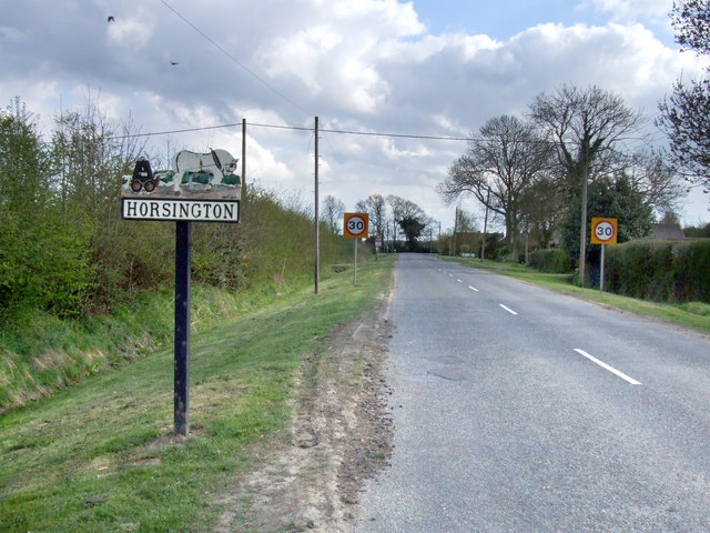
Horsington, Lincolnshire
Horsington is a village and civil parish in the East Lindsey district of Lincolnshire, England. It lies on the B1190, 4 miles (6.4 km) north from Woodhall...

Woodhall Spa Golf Club
Woodhall Spa Golf Club is a private golf club in England that is located to the north of Woodhall Spa, Lincolnshire. The club was founded in 1891. In 1995...

Horncastle Rural District
Horncastle was a rural district in Parts of Lindsey, Lincolnshire, England, from 1894 to 1974. It was formed under the Local Government Act 1894 from the...
Nearby Amenities
Located within 500m of 53.182372,-0.19271711Have you been to Low Dar Wood?
Leave your review of Low Dar Wood below (or comments, questions and feedback).