Long Coppice

Wood, Forest in Huntingdonshire Huntingdonshire

England

Long Coppice

Apartment block, Alconbury Weald
Apartment block, Alconbury Weald Credit: Jonathan Thacker

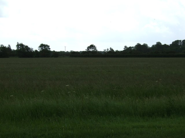
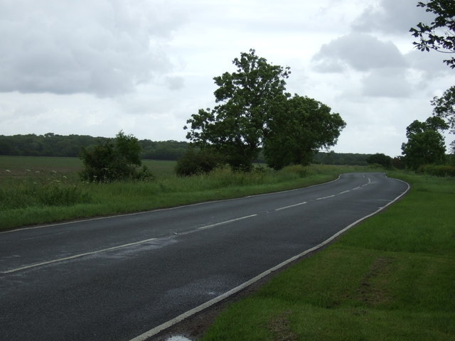
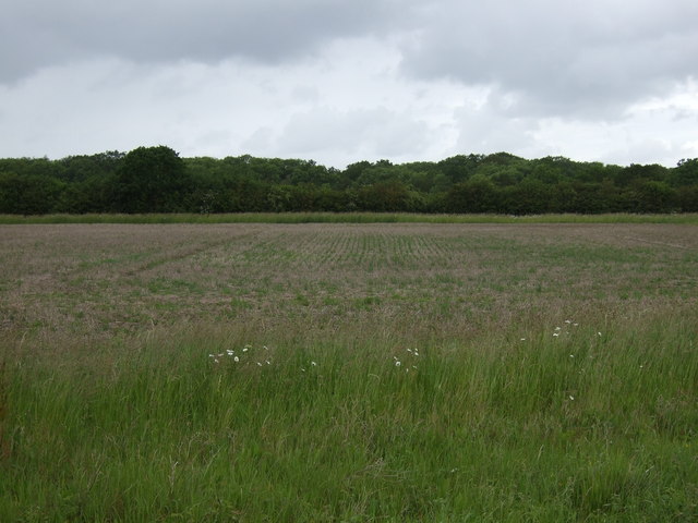
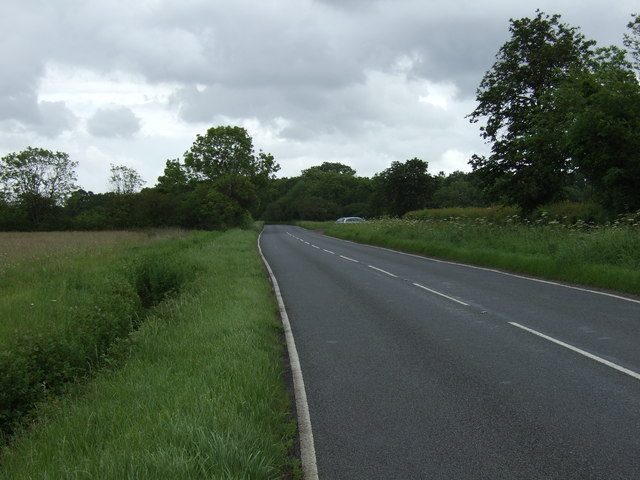
Long Coppice is a picturesque wood located in the county of Huntingdonshire, England. Covering an area of approximately 50 hectares, it is considered one of the largest and most well-preserved coppices in the region. The wood is part of a larger ancient forest that has been managed for centuries.

The coppice is primarily composed of deciduous trees, with a diverse mix of species including oak, ash, beech, and cherry. These trees provide a dense canopy that creates a cool and shaded environment, perfect for a variety of wildlife to thrive. The forest floor is carpeted with an array of wildflowers, ferns, and mosses, adding to the enchanting atmosphere.

Long Coppice has a rich history, dating back to medieval times when it was used as a source of timber and fuel. Traditional coppicing techniques, where trees are cut down to the base to encourage new growth, have been practiced here for centuries. This sustainable management approach has allowed the wood to maintain its diverse ecosystem and preserve its natural beauty.

The wood is a popular destination for nature enthusiasts, offering numerous walking trails that wind through the ancient trees. Visitors can observe a wide range of wildlife, including deer, foxes, and various bird species. The tranquility and beauty of Long Coppice make it an ideal place for nature lovers to escape the hustle and bustle of everyday life and immerse themselves in the wonders of the natural world.

If you have any feedback on the listing, please let us know in the comments section below.
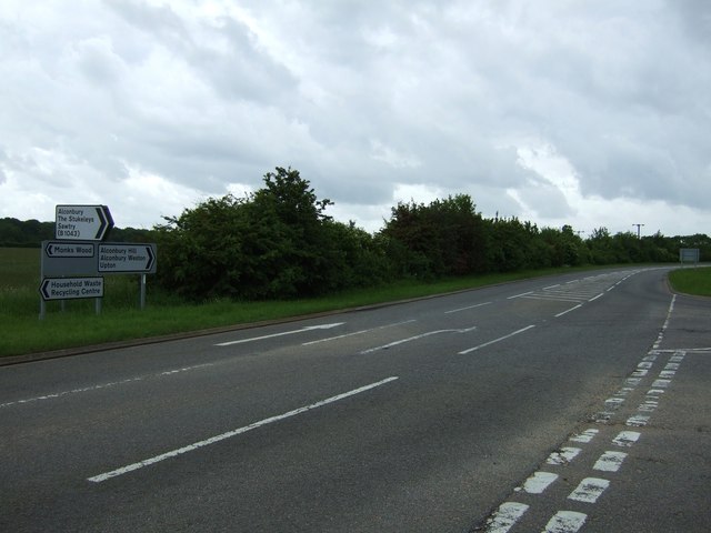
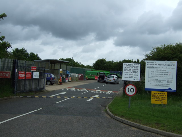
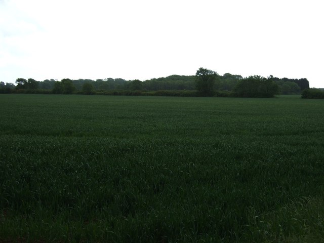
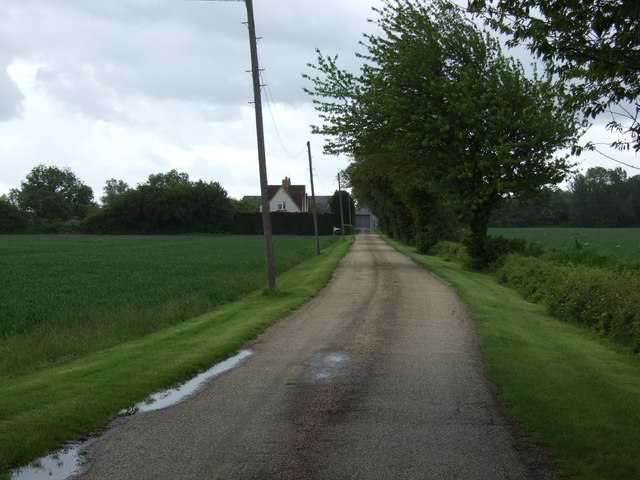
Long Coppice Images

Images are sourced within 2km of 52.384814/-0.22636281 or Grid Reference TL2077. Thanks to Geograph Open Source API. All images are credited.

Apartment block, Alconbury Weald
Bridge at Alconbury, A14
B1043 bridge over A14(M) There is only about a mile of A14(M) before it joins the A1(M).
B1043 bridge over A14(M)
There is only about a mile of A14(M) before it joins the A1(M).
Farmland, Alconbury Hill
Road towards Alconbury Hill
Recycling centre, Alconbury Hill
Farmland, Safefield Farm
Track to Safefield Farm
Road towards Monk's Wood
Farmland towards Monk's Wood
Road towards Monk's Wood
B1043 turning, A14 The A14 is a major road running 127 miles from Felixstowe to the Catthorpe Interchange, the junction of the M1 and M6 motorways near Rugby. The road connects East Anglia with the West Midlands and The North.
Wikipedia: <span class="nowrap"><a title="http://en.wikipedia.org/wiki/A14_road_(England)" rel="nofollow ugc noopener" href="http://en.wikipedia.org/wiki/A14_road_(England)">Link</a><img style="margin-left:2px;" alt="External link" title="External link - shift click to open in new window" src="https://s1.geograph.org.uk/img/external.png" width="10" height="10"/></span>
B1043 turning, A14
The A14 is a major road running 127 miles from Felixstowe to the Catthorpe Interchange, the junction of the M1 and M6 motorways near Rugby. The road connects East Anglia with the West Midlands and The North. Wikipedia: LinkExternal link
Bridge at Alconbury, A14(M) The A14 is a major road running 127 miles from Felixstowe to the Catthorpe Interchange, the junction of the M1 and M6 motorways near Rugby. The road connects East Anglia with the West Midlands and The North.
Wikipedia: <span class="nowrap"><a title="http://en.wikipedia.org/wiki/A14_road_(England)" rel="nofollow ugc noopener" href="http://en.wikipedia.org/wiki/A14_road_(England)">Link</a><img style="margin-left:2px;" alt="External link" title="External link - shift click to open in new window" src="https://s1.geograph.org.uk/img/external.png" width="10" height="10"/></span>
Bridge at Alconbury, A14(M)
The A14 is a major road running 127 miles from Felixstowe to the Catthorpe Interchange, the junction of the M1 and M6 motorways near Rugby. The road connects East Anglia with the West Midlands and The North. Wikipedia: LinkExternal link
A14(M) northbound About to merge into the A1(M) near Alconbury Airbase, operated by the U.S. Airforce.
A14(M) northbound
About to merge into the A1(M) near Alconbury Airbase, operated by the U.S. Airforce.
RAF  Alconbury Memorial RAF Alconbury memorial dedication to 19 airmen of the 95th bomb group who lost their lives when a 500lb bomb exploded accidentally.
RAF Alconbury Memorial
RAF Alconbury memorial dedication to 19 airmen of the 95th bomb group who lost their lives when a 500lb bomb exploded accidentally.
Nearing to the A14 junction B1043 nearing the A14 junction
Nearing to the A14 junction
B1043 nearing the A14 junction
Original WWII structure Former control tower on the Alconbury Airfield now known as Alconbury Weald.
Location is approximate as development work has obliterated original reference points.
The structure is likely to be preserved as a link to the former activity in this area.
Original WWII structure
Former control tower on the Alconbury Airfield now known as Alconbury Weald. Location is approximate as development work has obliterated original reference points. The structure is likely to be preserved as a link to the former activity in this area.
Gymnasium and cafe building New building on Alconbury Weald formerly USAF Alconbury. Location is approximate as re-alignment of the roads and general construction work and map data all need to catch up.
<span class="nowrap"><a title="http://www.alconbury-weald.co.uk/" rel="nofollow ugc noopener" href="http://www.alconbury-weald.co.uk/">Link</a><img style="margin-left:2px;" alt="External link" title="External link - shift click to open in new window" src="https://s1.geograph.org.uk/img/external.png" width="10" height="10"/></span>
Gymnasium and cafe building
New building on Alconbury Weald formerly USAF Alconbury. Location is approximate as re-alignment of the roads and general construction work and map data all need to catch up. LinkExternal link
Show me another place!

Long Coppice is located at Grid Ref: TL2077 (Lat: 52.384814, Lng: -0.22636281)

Administrative County: Cambridgeshire

District: Huntingdonshire

Police Authority: Cambridgeshire

What 3 Words

///pirates.bulletins.dripped. Near Alconbury, Cambridgeshire

Nearby Locations

Long Coppice

Related Wikis

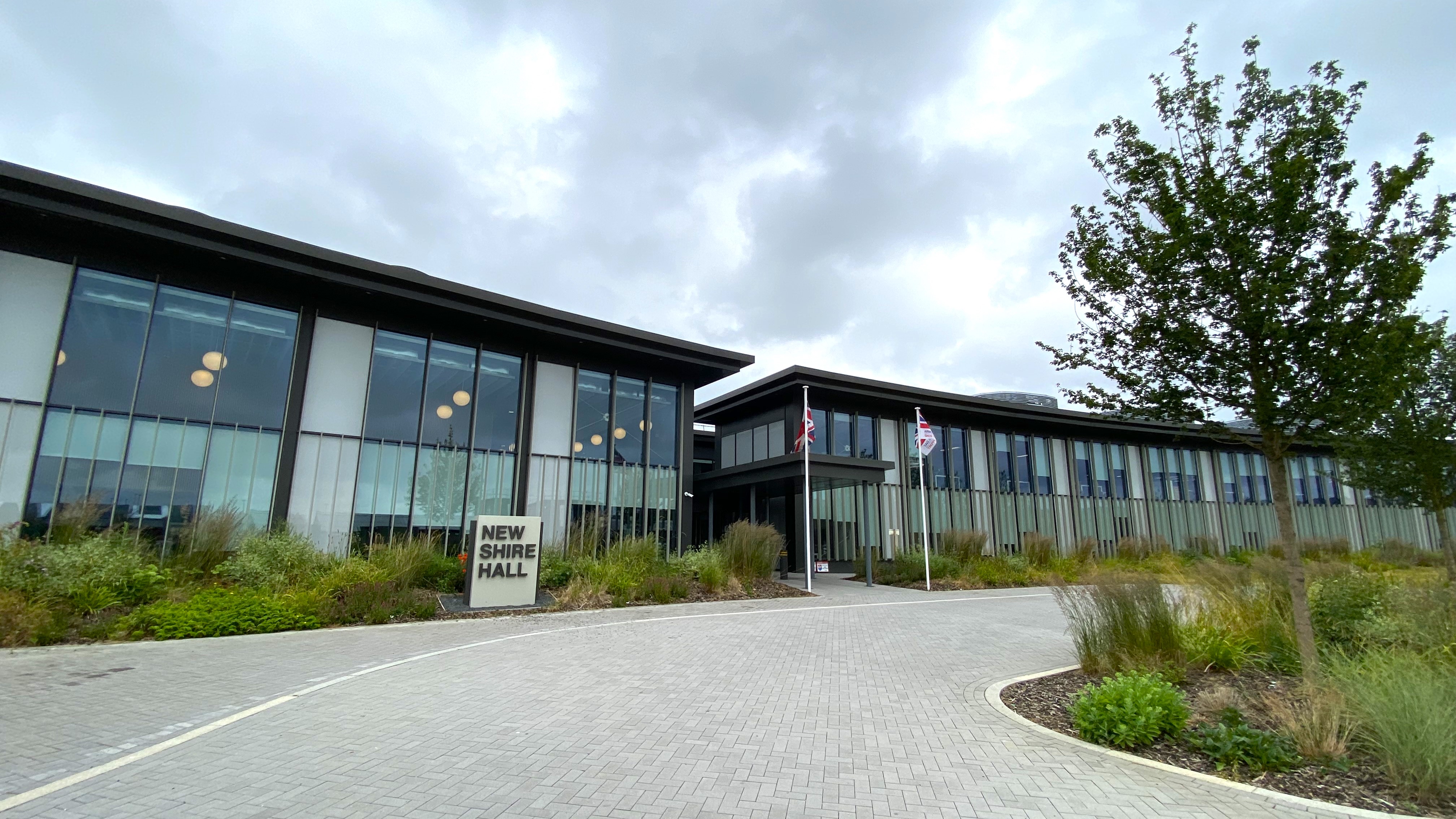
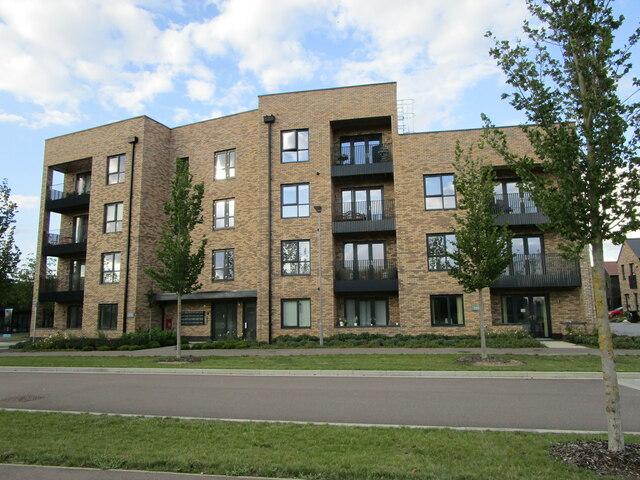
New Shire Hall, Alconbury Weald

New Shire Hall is a municipal building on Emery Crescent, Alconbury Weald, Cambridgeshire, England, built in 2019–2020. It is the headquarters of Cambridgeshire...

Little Stukeley

Little Stukeley is a village and former civil parish, now in the parish of The Stukeleys, in Cambridgeshire, England. Little Stukeley lies approximately...

Abbots Ripton rail accident

The Abbots Ripton rail disaster occurred on 21 January 1876 at Abbots Ripton, then in the county of Huntingdonshire, England, on the Great Northern Railway...

Abbots Ripton railway station

Abbots Ripton railway station was a railway station on the East Coast Main Line in the English county of Cambridgeshire. Although trains still pass on...

Alconbury Weald

Alconbury Weald is a new settlement in Cambridgeshire, England, lying to the north-west of the town of Huntingdon. The site was previously part of RAF...

RAF Alconbury

Royal Air Force Alconbury, or more simply RAF Alconbury, is an active Royal Air Force station near Huntingdon, England. The airfield is in the civil parish...

Alconbury High School

Alconbury High School is a public high school located in Alconbury, England, operated by the Department of Defense Education Activity (DoDEA). It is a...

Abbots Ripton

Abbots Ripton is a village and civil parish in Cambridgeshire, England. Abbots Ripton is situated within Huntingdonshire which is a non-metropolitan district...

Nearby Amenities

Located within 500m of 52.384814,-0.22636281
The data included in this document is from www.openstreetmap.org. The data is made available under ODbL.

Have you been to Long Coppice?

Leave your review of Long Coppice below (or comments, questions and feedback).