Hardwicke Spinneys
Wood, Forest in Huntingdonshire Huntingdonshire
England
Hardwicke Spinneys

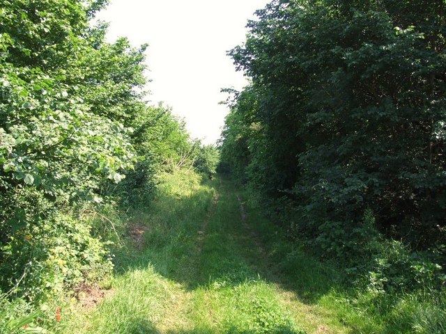
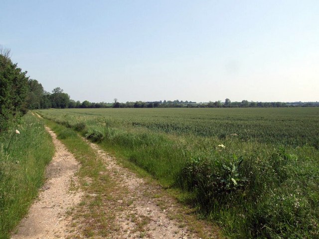
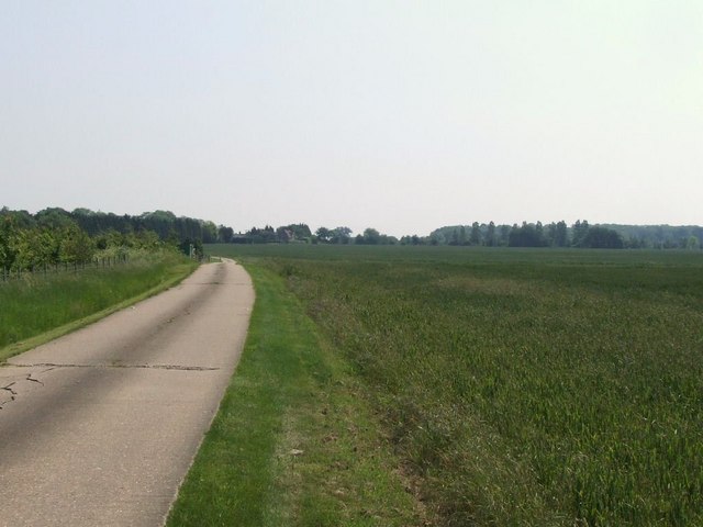
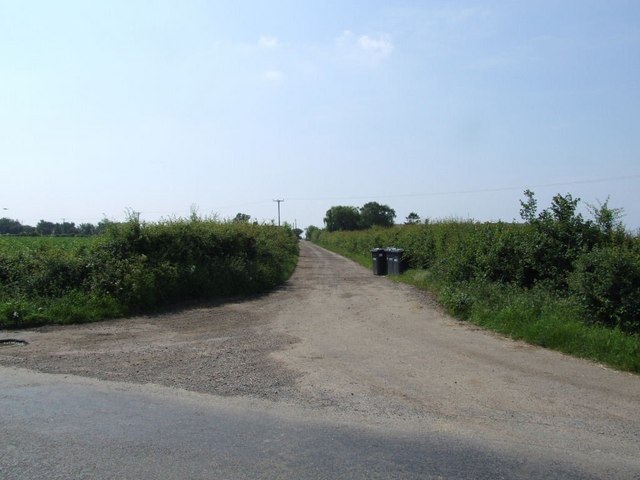
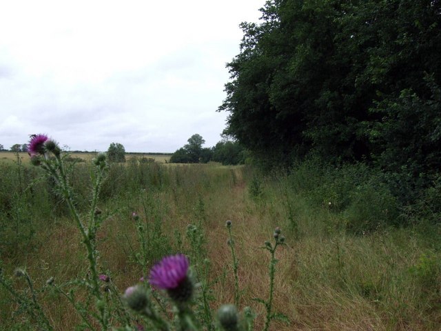
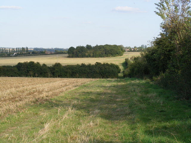
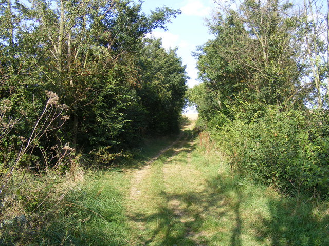
Hardwicke Spinneys is a picturesque woodland area located in Huntingdonshire, a county in the eastern part of England. Covering an area of approximately 20 acres, it is known for its dense and diverse collection of trees and wildlife, making it a popular spot for nature enthusiasts and hikers alike.
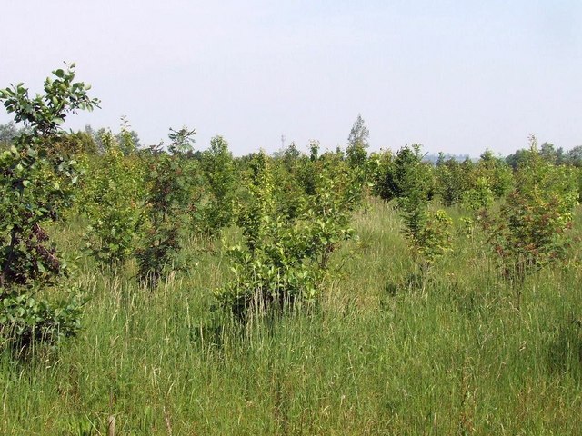
The spinneys are primarily composed of deciduous trees such as oak, beech, and ash, which provide a beautiful canopy of greenery throughout the year. The woodland floor is adorned with a vibrant carpet of wildflowers, including bluebells and primroses, creating a stunning visual display during the spring months.
The forest is home to a wide variety of wildlife species, including deer, foxes, and badgers, which can often be spotted by keen observers. Birdwatchers will also be delighted to find an array of avian inhabitants, including woodpeckers, thrushes, and owls.
Several well-maintained paths traverse the spinneys, providing visitors with the opportunity to explore the area at their own pace. These paths are suitable for both leisurely strolls and more challenging hikes, allowing visitors of all fitness levels to enjoy the natural beauty of the wood.
Hardwicke Spinneys is a designated Site of Special Scientific Interest due to its ecological richness and contribution to the local ecosystem. The wood has been carefully managed to maintain its natural habitat and preserve its biodiversity, making it an important conservation area in the region.
Overall, Hardwicke Spinneys is a tranquil and captivating woodland, offering visitors a chance to escape the hustle and bustle of everyday life and immerse themselves in the beauty of nature.
If you have any feedback on the listing, please let us know in the comments section below.
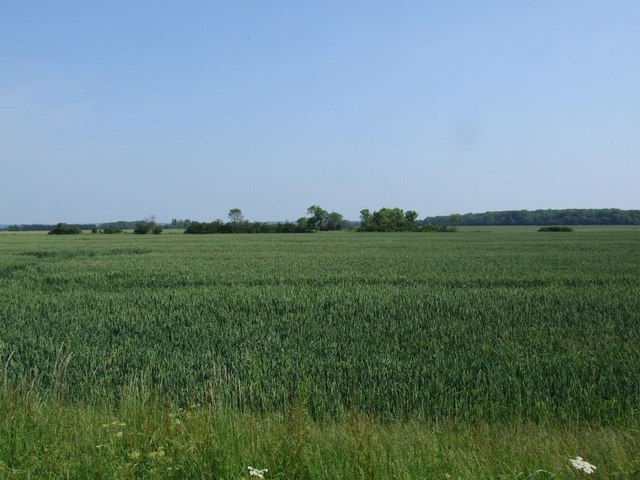
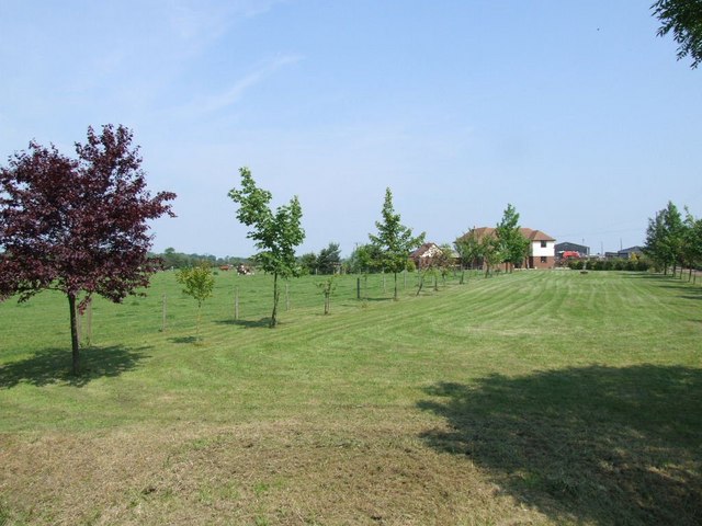
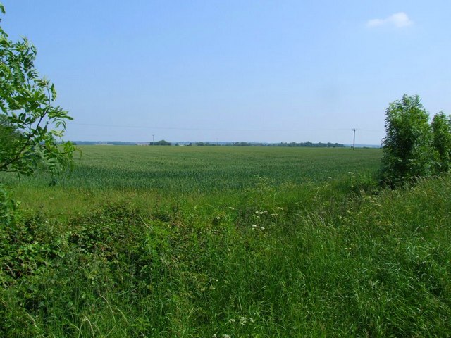
Hardwicke Spinneys Images
Images are sourced within 2km of 52.197107/-0.23510329 or Grid Reference TL2056. Thanks to Geograph Open Source API. All images are credited.


Hardwicke Spinneys is located at Grid Ref: TL2056 (Lat: 52.197107, Lng: -0.23510329)
Administrative County: Cambridgeshire
District: Huntingdonshire
Police Authority: Cambridgeshire
What 3 Words
///toddler.notch.steaming. Near Little Barford, Bedfordshire
Nearby Locations
Related Wikis

Eynesbury Hardwicke
Eynesbury Hardwicke is a former civil parish, now in the parishes of Abbotsley and St Neots, in the Huntingdonshire part of Cambridgeshire, England. At...

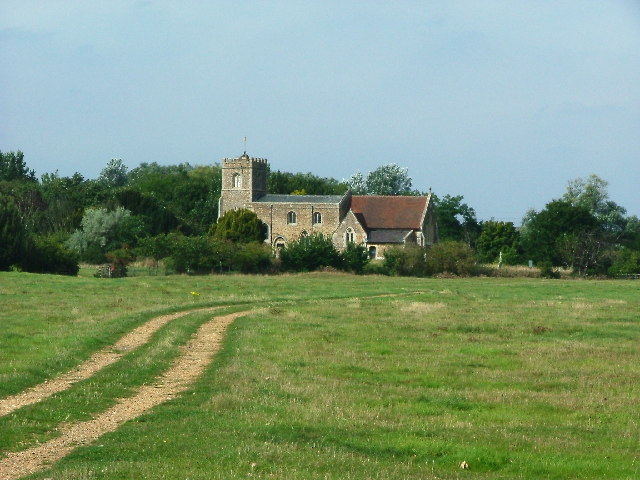
St Margaret's Church, Abbotsley
St Margaret's Church is a historic Anglican church in the village of Abbotsley, Cambridgeshire, England. It is recorded in the National Heritage List...

Abbotsley
Abbotsley is a village and civil parish within the Huntingdonshire district of Cambridgeshire, England. It is three miles from St Neots and 14 miles from...
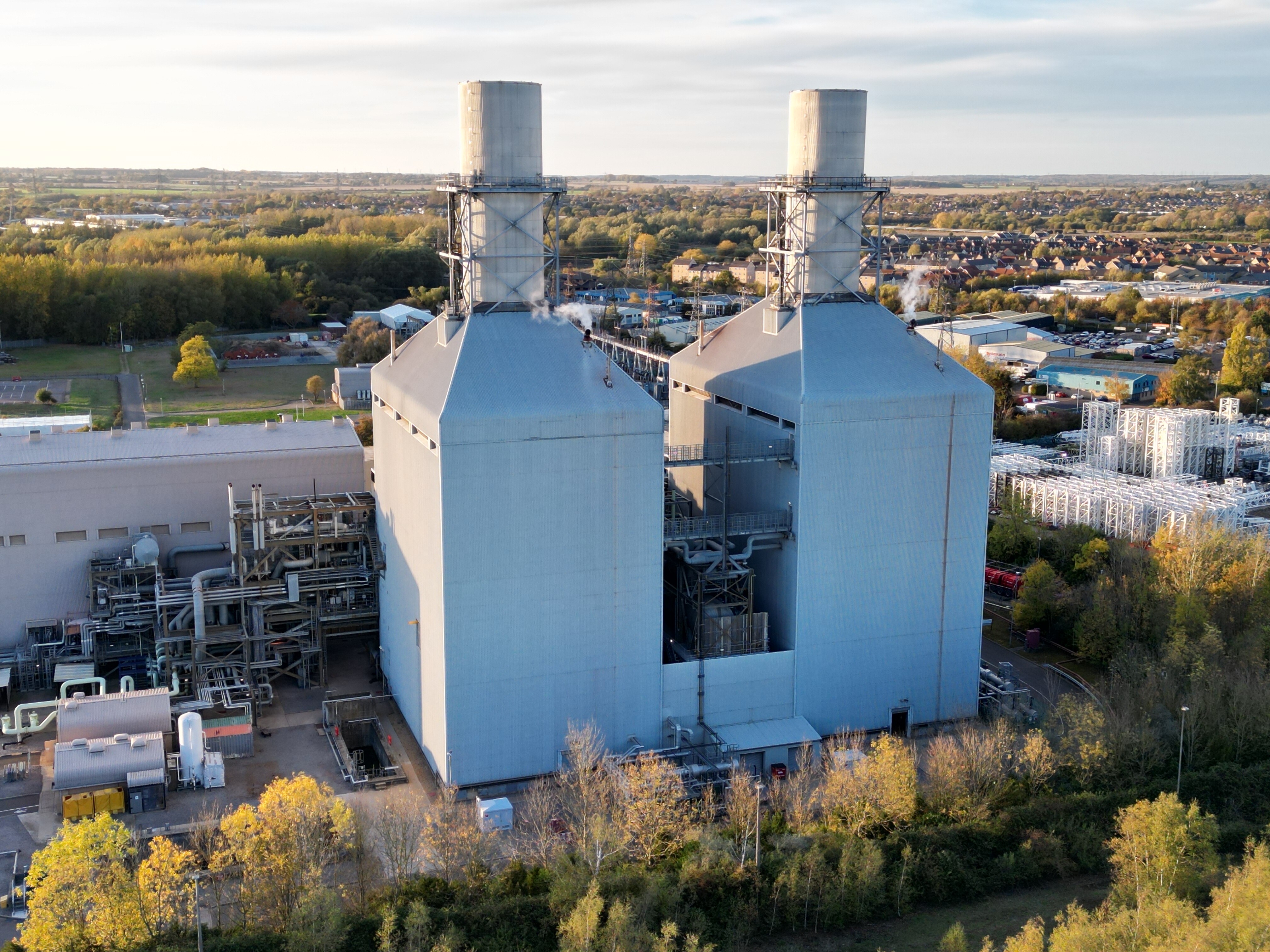
Little Barford Power Station
Little Barford Power Station is a gas-fired power station just north of the village of Little Barford (close to St Neots) in Bedfordshire, England. It...

Little Barford
Little Barford is a hamlet and civil parish in the Borough of Bedford in Bedfordshire, England about 7 miles (11 km) northeast of the county town of Bedford...
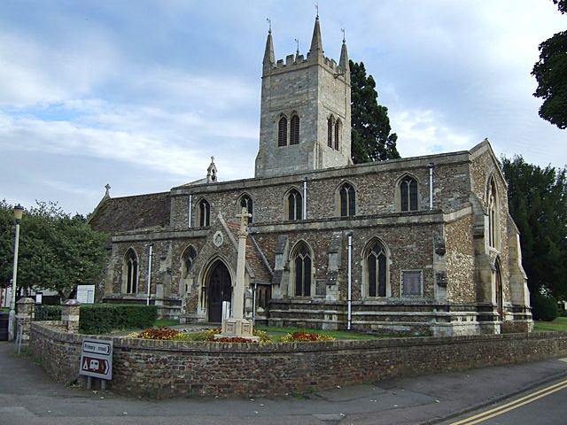
St Denys' Church, Little Barford
St Denys' Church is a redundant Anglican church in the village of Little Barford, Bedfordshire, England. It is recorded in the National Heritage List...
Eynesbury, Cambridgeshire
Eynesbury is an urban area forming part of St Neots, in the civil parish of St Neots, in the Huntingdonshire district, in the county of Cambridgeshire...

Wintringham
Wintringham is a community in the civil parish of St Neots, Cambridgeshire, England. It is located on the eastern side of the town, east of the East Coast...
Nearby Amenities
Located within 500m of 52.197107,-0.23510329Have you been to Hardwicke Spinneys?
Leave your review of Hardwicke Spinneys below (or comments, questions and feedback).