Kiln Copse

Wood, Forest in Sussex Horsham

England

Kiln Copse

Ghyll Manor Hotel, Rusper, West Sussex Originally a private house, this hotel now provides luxurious accommodation in a rural setting in the small village of Rusper.
Ghyll Manor Hotel, Rusper, West Sussex Credit: Pete Chapman

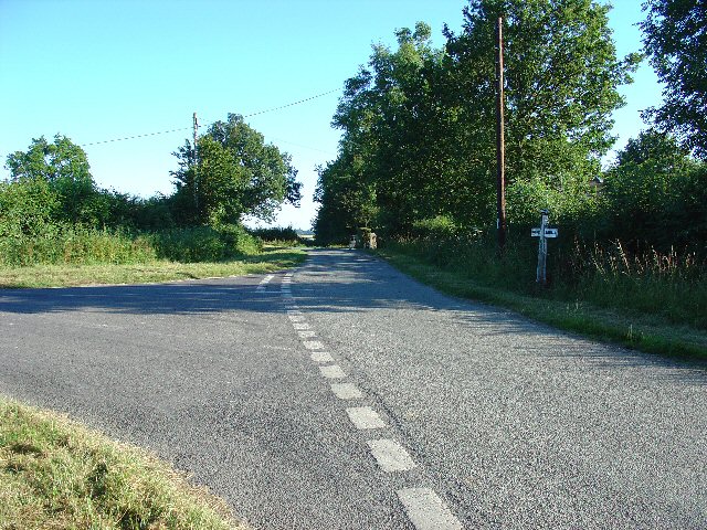
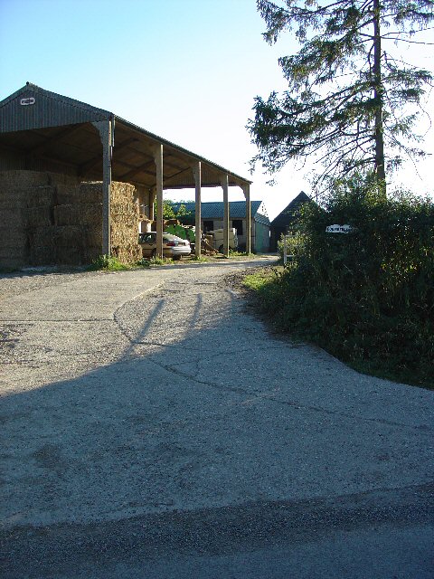
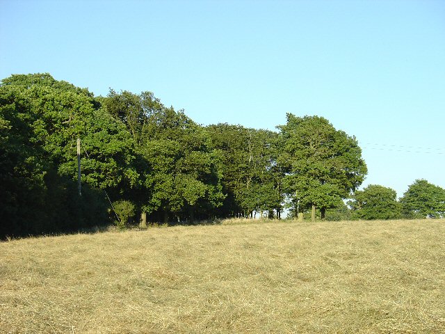
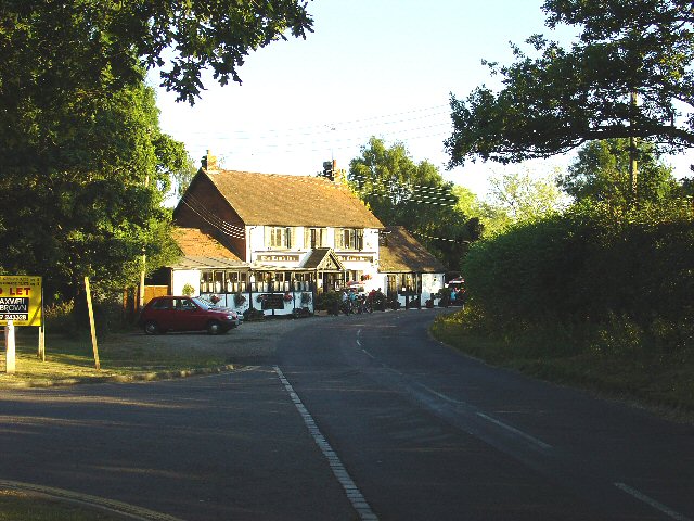
Kiln Copse is a picturesque woodland located in Sussex, England. Covering an area of approximately 100 acres, the copse is renowned for its diverse range of trees and abundance of wildlife.

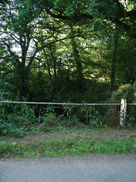
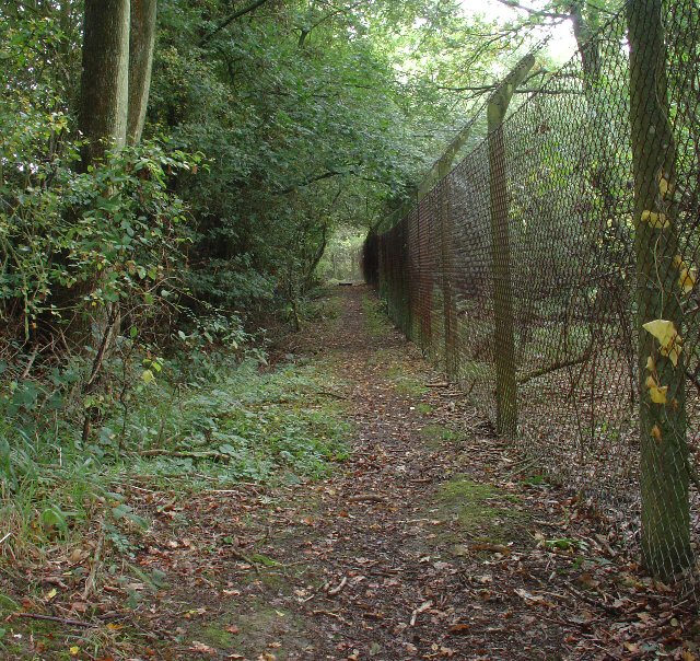
The woodland is predominantly composed of native British species, including oak, beech, and birch trees. These majestic trees provide a stunning backdrop throughout the year, with their leaves changing color in the autumn months, and their branches forming a dense canopy in the summer. The forest floor is carpeted with a variety of wildflowers and ferns, adding to the copse's natural beauty.

Kiln Copse is home to a rich array of wildlife, making it a popular destination for nature enthusiasts and bird watchers. It provides a habitat for numerous bird species, including woodpeckers, owls, and various songbirds. The copse is also inhabited by mammals such as deer, foxes, and badgers, which can often be spotted during early morning or dusk.

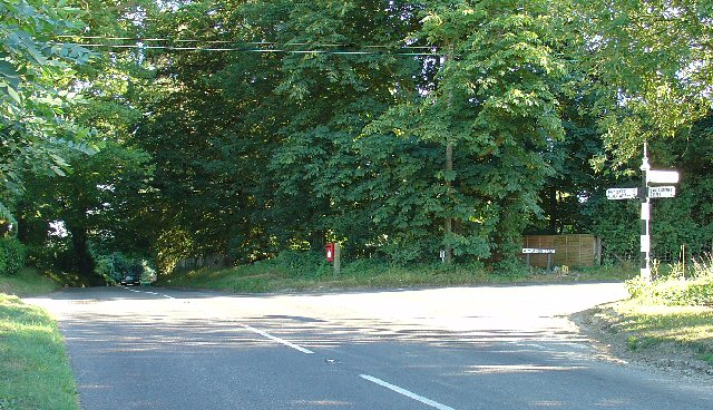
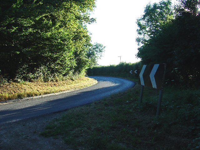
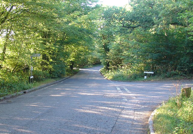
The woodland offers a network of well-maintained footpaths and trails, allowing visitors to explore its natural wonders. There are also picnic areas and benches strategically placed throughout the copse, providing opportunities for visitors to relax and immerse themselves in nature.

Kiln Copse is managed by local conservationists who strive to preserve its ecological integrity. They conduct regular tree maintenance and ensure the copse remains a haven for wildlife. The copse is easily accessible, with nearby parking facilities and public transportation options available.

Overall, Kiln Copse is a tranquil and idyllic woodland that offers visitors the chance to connect with nature and experience the beauty of Sussex's natural landscape.

If you have any feedback on the listing, please let us know in the comments section below.
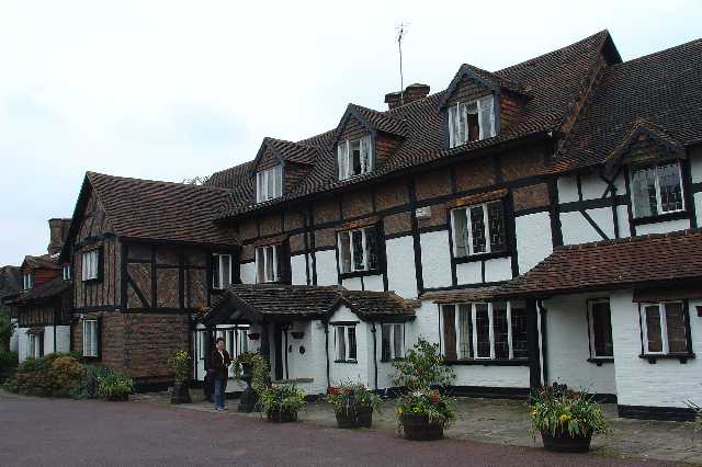
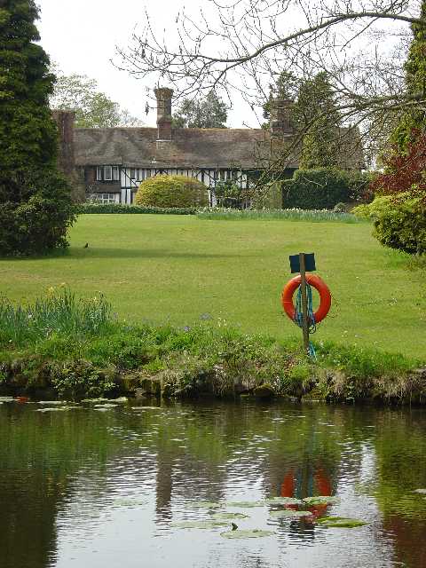
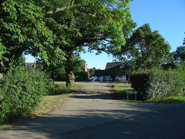
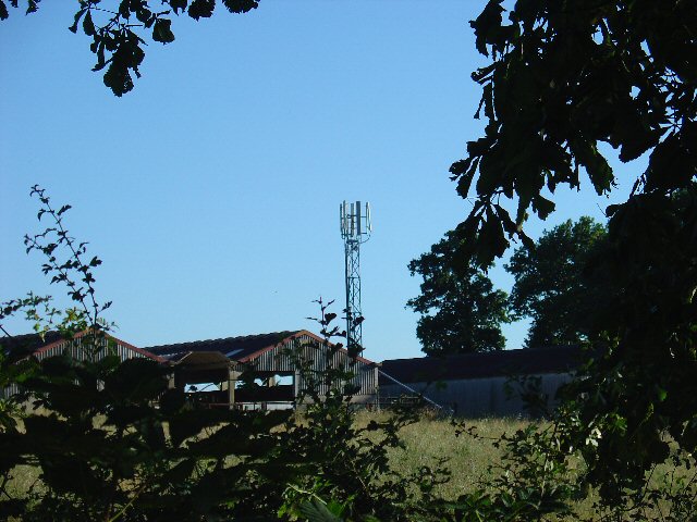
Kiln Copse Images

Images are sourced within 2km of 51.116551/-0.27674625 or Grid Reference TQ2036. Thanks to Geograph Open Source API. All images are credited.

Ghyll Manor Hotel, Rusper, West Sussex Originally a private house, this hotel now provides luxurious accommodation in a rural setting in the small village of Rusper.
Ghyll Manor Hotel, Rusper, West Sussex
Originally a private house, this hotel now provides luxurious accommodation in a rural setting in the small village of Rusper.
Pond in the grounds of Ghyll Manor Hotel, Rusper, West Sussex The grounds of the hotel include an ornamental pond with water lilies and large goldfish. The view shows the pond in the foreground, with the back of the main hotel building in the background
Pond in the grounds of Ghyll Manor Hotel, Rusper, West Sussex
The grounds of the hotel include an ornamental pond with water lilies and large goldfish. The view shows the pond in the foreground, with the back of the main hotel building in the background
Wimland Farm, Near Faygate, West Sussex A standard sized farmstead for the area, and one where farming appears to still be the main activity. Small pond behind the bushes on the left. View taken from the public road immediately to the N.
Wimland Farm, Near Faygate, West Sussex
A standard sized farmstead for the area, and one where farming appears to still be the main activity. Small pond behind the bushes on the left. View taken from the public road immediately to the N.
Phone Mast, Wimland Farm, Near Faygate, West Sussex Phone mast in amongst the farm buildings of the main farmstead.
Phone Mast, Wimland Farm, Near Faygate, West Sussex
Phone mast in amongst the farm buildings of the main farmstead.
Road Junction near Wimland Farm, Faygate, West Sussex All narrow (single track) roads. The sign was a bit dilapidated - the central limb (to Faygate) was missing.
Road Junction near Wimland Farm, Faygate, West Sussex
All narrow (single track) roads. The sign was a bit dilapidated - the central limb (to Faygate) was missing.
Road Junction, Near Carylls Lea, Faygate, West Sussex The metalled bridleway (see square TQ2235) comes out at this junction. Directions go to Faygate, Wimland, and Rusper.
Road Junction, Near Carylls Lea, Faygate, West Sussex
The metalled bridleway (see square TQ2235) comes out at this junction. Directions go to Faygate, Wimland, and Rusper.
Waffles Corner on the road between Rusper (West Sussex) and Capel (Surrey). Many such roads in this area. The rural population is quite high and these roads are often busy, hence quite wide and with lines down the middle.
Waffles Corner on the road between Rusper (West Sussex) and Capel (Surrey).
Many such roads in this area. The rural population is quite high and these roads are often busy, hence quite wide and with lines down the middle.
Houses at Gardeners Green, Rusper, West Sussex On the outskirts of the village of Rusper. This is a private estate of houses. This is an example of ribbon development along the existing rural roads. Viewed from Horsham Road looking N.
Houses at Gardeners Green, Rusper, West Sussex
On the outskirts of the village of Rusper. This is a private estate of houses. This is an example of ribbon development along the existing rural roads. Viewed from Horsham Road looking N.
Barn at Coombers Farm, Faygate, West Sussex Many of the farms marked on the map in this area have now become solely residential properties, with no indication of any farming activity. Coombers Farm, however, has this sturdy (and used) modern style barn.
Barn at Coombers Farm, Faygate, West Sussex
Many of the farms marked on the map in this area have now become solely residential properties, with no indication of any farming activity. Coombers Farm, however, has this sturdy (and used) modern style barn.
Tributary of River Mole, Near Coombers Farm, Faygate, West Sussex. The River Mole is one of the main rivers in the area. This is a very young tributary. The stream runs through a narrow strip of trees for around 2km at this point. See the River Mole again in grid square TQ2337.
Tributary of River Mole, Near Coombers Farm, Faygate, West Sussex.
The River Mole is one of the main rivers in the area. This is a very young tributary. The stream runs through a narrow strip of trees for around 2km at this point. See the River Mole again in grid square TQ2337.
Copse in Hay Field near Waffles Corner, Rusper, West Sussex One of many small patches of mature broadleaved woodland that are present in this area. The grass in this field has recently been cut for hay. Photo taken from the public footpath that runs by the copse E from Waffles Corner.
Copse in Hay Field near Waffles Corner, Rusper, West Sussex
One of many small patches of mature broadleaved woodland that are present in this area. The grass in this field has recently been cut for hay. Photo taken from the public footpath that runs by the copse E from Waffles Corner.
Junction of Partridge Lane and Rusper Road, Near Rusper, West Sussex. NB. This junction is just into Surrey.
The roads at this junction lead to Charlwood (Surrey), Newdigate (Surrey) and Rusper (West Sussex).
Junction of Partridge Lane and Rusper Road, Near Rusper, West Sussex.
NB. This junction is just into Surrey. The roads at this junction lead to Charlwood (Surrey), Newdigate (Surrey) and Rusper (West Sussex).
The Lamb Inn, Lambs Green, Near Rusper, West Sussex. A popular pub being well used on this summer Thursday evening.
The Lamb Inn, Lambs Green, Near Rusper, West Sussex.
A popular pub being well used on this summer Thursday evening.
Junction of Rusper Road, East Street, and Lambs Green, near Lambs Green, Rusper, west Sussex. One of two road junctions on the road that runs through this grid square.
Junction of Rusper Road, East Street, and Lambs Green, near Lambs Green, Rusper, west Sussex.
One of two road junctions on the road that runs through this grid square.
Junction of Longhurst Lane, Orltons Lane, and The Mount at Langhurst, near Rusper, West Sussex Typical rural N Sussex road junction. There is a pond behind the trees on the left. Photo taken looking south.
Junction of Longhurst Lane, Orltons Lane, and The Mount at Langhurst, near Rusper, West Sussex
Typical rural N Sussex road junction. There is a pond behind the trees on the left. Photo taken looking south.
The Gate Public House, between Rusper and Ifield, West Sussex Relatively isolated, but well frequented. Quiz nights every other Wednesday!
The Gate Public House, between Rusper and Ifield, West Sussex
Relatively isolated, but well frequented. Quiz nights every other Wednesday!
Junction of Rusper Road and Longhurst Lane near Rusper, West Sussex A typical rural road junction (and only one in this grid square).
Junction of Rusper Road and Longhurst Lane near Rusper, West Sussex
A typical rural road junction (and only one in this grid square).
Public Footpath to Ifield at Lambs Green, West Sussex This path starts at Lambs Green next to The Lamb public house. The early part of the route (shown here) passes between two fences in a wooded area. View taken looking N (back towards Lambs Green).
Public Footpath to Ifield at Lambs Green, West Sussex
This path starts at Lambs Green next to The Lamb public house. The early part of the route (shown here) passes between two fences in a wooded area. View taken looking N (back towards Lambs Green).
Show me another place!

Kiln Copse is located at Grid Ref: TQ2036 (Lat: 51.116551, Lng: -0.27674625)

Administrative County: West Sussex

District: Horsham

Police Authority: Sussex

What 3 Words

///cleanest.stepping.spends. Near Bewbush, West Sussex

Related Wikis

Rusper

Rusper is a village and civil parish in the Horsham District of West Sussex, England. It lies 4.1 miles (6.6 km) north of the town of Horsham and 4.2 miles...

Lambs Green

Lambs Green is a hamlet in the civil parish of Rusper and the Horsham District of West Sussex, England. It lies on the Rusper to Ifield road 3.1 miles...

House Copse

House Copse is a 12.5-hectare (31-acre) biological Site of Special Scientific Interest west of Crawley in West Sussex.This ancient wood was formerly managed...

Faygate railway station

Faygate Station is located on the Arun Valley Line, between Littlehaven and Ifield, 34 miles 28 chains (55.3 km) down the line from London Bridge, measured...

Faygate

Faygate is a village in the Horsham district of West Sussex, England. It lies on the A264 road 3.4 miles (5.4 km) south west of Crawley. It has a railway...

Kilnwood Vale railway station

Kilnwood Vale is a proposed railway station in Kilnwood Vale, Horsham, West Sussex which would serve the neighbourhoods of Kilnwood Vale and Bewbush. The...

Kilnwood Vale

Kilnwood Vale is a village in the Horsham district of West Sussex, England. It borders the High Weald Area of Outstanding Natural Beauty along the A264...

Bohunt Horsham

Bohunt Horsham is a coeducational all-through school located in Horsham, West Sussex, England. The school opened to 120 students in Year 7 in 2019 in temporary...

Nearby Amenities

Located within 500m of 51.116551,-0.27674625
Horsham Road
Naptan AtcoCode: 4400HR0582
Naptan Bearing: SW
Naptan BusStopType: CUS
Naptan CommonName: Horsham Road
Naptan Indicator: HAR
Naptan Landmark: Hail & Ride
Naptan NaptanCode: wsxdtmjw
Naptan Street: Horsham Lane
Naptan Verified: no
Source: naptan_import
Lat/Long: 51.1185628/-0.2823747
Millfields Farm
Place: farm
Lat/Long: 51.1196381/-0.2773408
Power: pole
Source: gps;Bing
Lat/Long: 51.116512/-0.2713215
Power: pole
Source: gps
Lat/Long: 51.1154517/-0.2702453
The data included in this document is from www.openstreetmap.org. The data is made available under ODbL.

Have you been to Kiln Copse?

Leave your review of Kiln Copse below (or comments, questions and feedback).