Crossoaks Wood

Wood, Forest in Hertfordshire Hertsmere

England

Crossoaks Wood

Traffic queue at junction 23 on the M25
Traffic queue at junction 23 on the M25 Credit: Rob Purvis

Crossoaks Wood is a beautiful woodland area located in Hertfordshire, England. Covering an area of approximately 50 acres, this enchanting forest is a popular destination for nature lovers and outdoor enthusiasts.

The wood is characterized by its diverse range of tree species, including oak, beech, and birch. These towering trees create a dense canopy, providing shade and shelter for various wildlife species that call Crossoaks Wood their home. Visitors can expect to see a wide variety of birds, such as woodpeckers and songbirds, as well as small mammals like squirrels and foxes.

Trails wind through the wood, allowing visitors to explore its natural beauty at their own pace. These well-maintained paths lead to several stunning viewpoints, offering panoramic vistas of the surrounding countryside. The wood also boasts a picturesque stream that meanders through its heart, adding to its tranquility and charm.

Crossoaks Wood is a haven for outdoor activities, attracting hikers, joggers, and dog walkers throughout the year. The wood’s peaceful ambiance and natural beauty make it an ideal location for picnics and family outings. Moreover, the presence of designated picnic areas and benches ensures that visitors can relax and soak in the woodland atmosphere.

Managed by local authorities, Crossoaks Wood is carefully preserved and maintained. It serves as an important habitat for wildlife and contributes to the region's biodiversity. The wood also plays a vital role in the local ecosystem, acting as a carbon sink and helping to improve air quality.

In summary, Crossoaks Wood in Hertfordshire is a captivating woodland area offering a serene escape from the hustle and bustle of everyday life. Its lush vegetation, diverse wildlife, and well-maintained trails make it a perfect destination for nature enthusiasts and those seeking solace in the beauty of the natural world.

If you have any feedback on the listing, please let us know in the comments section below.

Crossoaks Wood Images

Images are sourced within 2km of 51.683207/-0.25857191 or Grid Reference TQ2099. Thanks to Geograph Open Source API. All images are credited.

Traffic queue at junction 23 on the M25
Clockwise M25 approaching Bignell's Corner (Junction 23) Bignell's Corner (also known as South Mimms Interchange) is a large three-level roundabout interchange providing full access between the M25, A1(M), A1081, South Mimms services and local roads. It is junction 1 of the A1(M) and junction 23 of the M25 (<span class="nowrap"><a title="https://www.sabre-roads.org.uk/wiki/index.php?title=Bignells_Corner" rel="nofollow ugc noopener" href="https://www.sabre-roads.org.uk/wiki/index.php?title=Bignells_Corner">Link</a><img style="margin-left:2px;" alt="External link" title="External link - shift click to open in new window" src="https://s1.geograph.org.uk/img/external.png" width="10" height="10"/></span> SABRE).
Clockwise M25 approaching Bignell's Corner (Junction 23)
Bignell's Corner (also known as South Mimms Interchange) is a large three-level roundabout interchange providing full access between the M25, A1(M), A1081, South Mimms services and local roads. It is junction 1 of the A1(M) and junction 23 of the M25 (LinkExternal link SABRE).
London Orbital Motorway at Bignell's Corner (South Mimms Interchange) Bignell's Corner (also known as South Mimms Interchange) is a large three-level roundabout interchange providing full access between the M25, A1(M), A1081, South Mimms services and local roads. It is junction 1 of the A1(M) and junction 23 of the M25 (<span class="nowrap"><a title="https://www.sabre-roads.org.uk/wiki/index.php?title=Bignells_Corner" rel="nofollow ugc noopener" href="https://www.sabre-roads.org.uk/wiki/index.php?title=Bignells_Corner">Link</a><img style="margin-left:2px;" alt="External link" title="External link - shift click to open in new window" src="https://s1.geograph.org.uk/img/external.png" width="10" height="10"/></span> SABRE).
London Orbital Motorway at Bignell's Corner (South Mimms Interchange)
Bignell's Corner (also known as South Mimms Interchange) is a large three-level roundabout interchange providing full access between the M25, A1(M), A1081, South Mimms services and local roads. It is junction 1 of the A1(M) and junction 23 of the M25 (LinkExternal link SABRE).
Church of St Margaret   Ridge Herts Quite an unassuming little church in a tiny village
Church of St Margaret Ridge Herts
Quite an unassuming little church in a tiny village
The Old Guinea Pub at Ridge, Herts A board just out of sight to the left says that bookings are taken for meals. Which rules out the casual visitor.
The Old Guinea Pub at Ridge, Herts
A board just out of sight to the left says that bookings are taken for meals. Which rules out the casual visitor.
Village Hall at Ridge The two storey structure is rather unusual for a village hall.
Village Hall at Ridge
The two storey structure is rather unusual for a village hall.
The Stud Farm in Rectory Lane  Shenley One horse was being exercised just to the left of the picture
The Stud Farm in Rectory Lane Shenley
One horse was being exercised just to the left of the picture
Shenley Hill  Business premises. The business is related to transport but I have no further clue.
Shenley Hill Business premises.
The business is related to transport but I have no further clue.
Shenley Cage and Pond Viewed looking northwards over the village Pond, the Cage is one of the last remaining round gaolhouses in the country. Given its location outside the Queen Adelaide public house there is an ironic tablet in the wall of the gaolhouse advising passers-by to "Be Sober".
Shenley Cage and Pond
Viewed looking northwards over the village Pond, the Cage is one of the last remaining round gaolhouses in the country. Given its location outside the Queen Adelaide public house there is an ironic tablet in the wall of the gaolhouse advising passers-by to "Be Sober".
Deeves Hall Barn At the junction of Mimms Lane, Earls Lane and Deeves Hall Lane.
Deeves Hall Barn
At the junction of Mimms Lane, Earls Lane and Deeves Hall Lane.
Ashridge Lodge Situated on the south side of Mimms Lane near Shenley this house and a converted barn appear to have been created out of existing buildings at Ravenscroft Farm.
Ashridge Lodge
Situated on the south side of Mimms Lane near Shenley this house and a converted barn appear to have been created out of existing buildings at Ravenscroft Farm.
Ridge village centre View east, the church and village hall are on the green to the left, the public house is beyond on the right.
Ridge village centre
View east, the church and village hall are on the green to the left, the public house is beyond on the right.
Clare Hall Manor, Ridge Part of the London Research Institute of Cancer Research UK. Clare Hall manor was renovated in 1998 to provide a restaurant, meeting rooms and accommodation.
Clare Hall Manor, Ridge
Part of the London Research Institute of Cancer Research UK. Clare Hall manor was renovated in 1998 to provide a restaurant, meeting rooms and accommodation.
In the Pinks This lane runs past Pinks Farm and the cottage at the end is Pinks Cottage.
In the Pinks
This lane runs past Pinks Farm and the cottage at the end is Pinks Cottage.
St Margaret, Ridge, Herts
St Margaret, Ridge, Herts - East end
St Margaret, Ridge, Herts - Churchyard
St Margaret, Ridge, Herts - Window detail
Show me another place!

Crossoaks Wood is located at Grid Ref: TQ2099 (Lat: 51.683207, Lng: -0.25857191)

Administrative County: Hertfordshire

District: Hertsmere

Police Authority: Hertfordshire

What 3 Words

///type.diner.undulation. Near Shenley, Hertfordshire

Related Wikis

Clare Hall Manor

Clare Hall Manor is a former health facility in Blanche Lane, South Mimms, Hertfordshire, England. It is a Grade II listed building. == History == The...
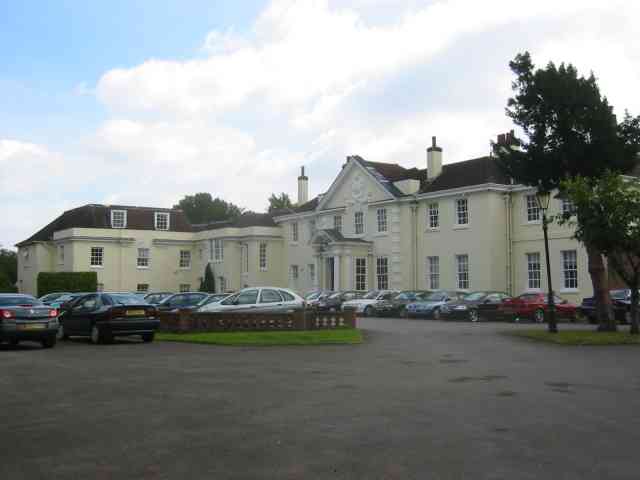
Shenley Hall

Shenley Hall is a Grade II listed English country house at Shenley in Hertfordshire. == History == Built in the 19th century, the hall benefited from additions...

Ridge, Hertfordshire

Ridge is a village and former civil parish, now in the parish of South Mimms and Ridge, in the Hertsmere borough of Hertfordshire, situated between Potters...

Shenley

Shenley is a village and civil parish in Hertfordshire, England, between Barnet and St Albans. The village is located 14 miles from Central London. As...

Hertsmere (UK Parliament constituency)

Hertsmere is a constituency in Hertfordshire, England, represented in the House of Commons since 2015 by Oliver Dowden, who currently serves as deputy...

Hertswood Academy

Hertswood Academy (formerly Hertswood School) is a coeducational secondary school in Borehamwood, Hertfordshire which gained academy status in January...

Elstree Rural District

Elstree Rural District (until 1941 called Barnet Rural District) was a rural district in Hertfordshire, England from 1894 to 1974. == Creation == The district...

Watling Chase Community Forest

Watling Chase Community Forest is an area of 72 square miles located in north London and south Hertfordshire around the towns of Potters Bar, Radlett,...

Nearby Amenities

Located within 500m of 51.683207,-0.25857191
Power: tower
Lat/Long: 51.6857431/-0.2558395
The data included in this document is from www.openstreetmap.org. The data is made available under ODbL.

Have you been to Crossoaks Wood?

Leave your review of Crossoaks Wood below (or comments, questions and feedback).