The Rough
Wood, Forest in Surrey Mole Valley
England
The Rough

The Rough is a stunning forested area located in Surrey, England. Spanning a vast expanse of land, this natural haven is known for its dense woodlands and lush greenery, making it a popular destination for outdoor enthusiasts and nature lovers alike.
Nestled within the Surrey Hills Area of Outstanding Natural Beauty, The Rough boasts a diverse ecosystem that supports a wide array of flora and fauna. The forest is primarily composed of deciduous trees such as oak, beech, and birch, creating a picturesque landscape that changes with the seasons. In spring, the forest floor is blanketed with vibrant wildflowers, while autumn brings a stunning display of colorful foliage.
The Rough is a haven for wildlife, providing a habitat for various species. Visitors may spot deer, foxes, badgers, and a multitude of bird species, making it a haven for birdwatchers. The forest is also home to a network of walking trails, allowing visitors to explore the area at their own pace. These trails are well-maintained and offer breathtaking views of the surrounding countryside.
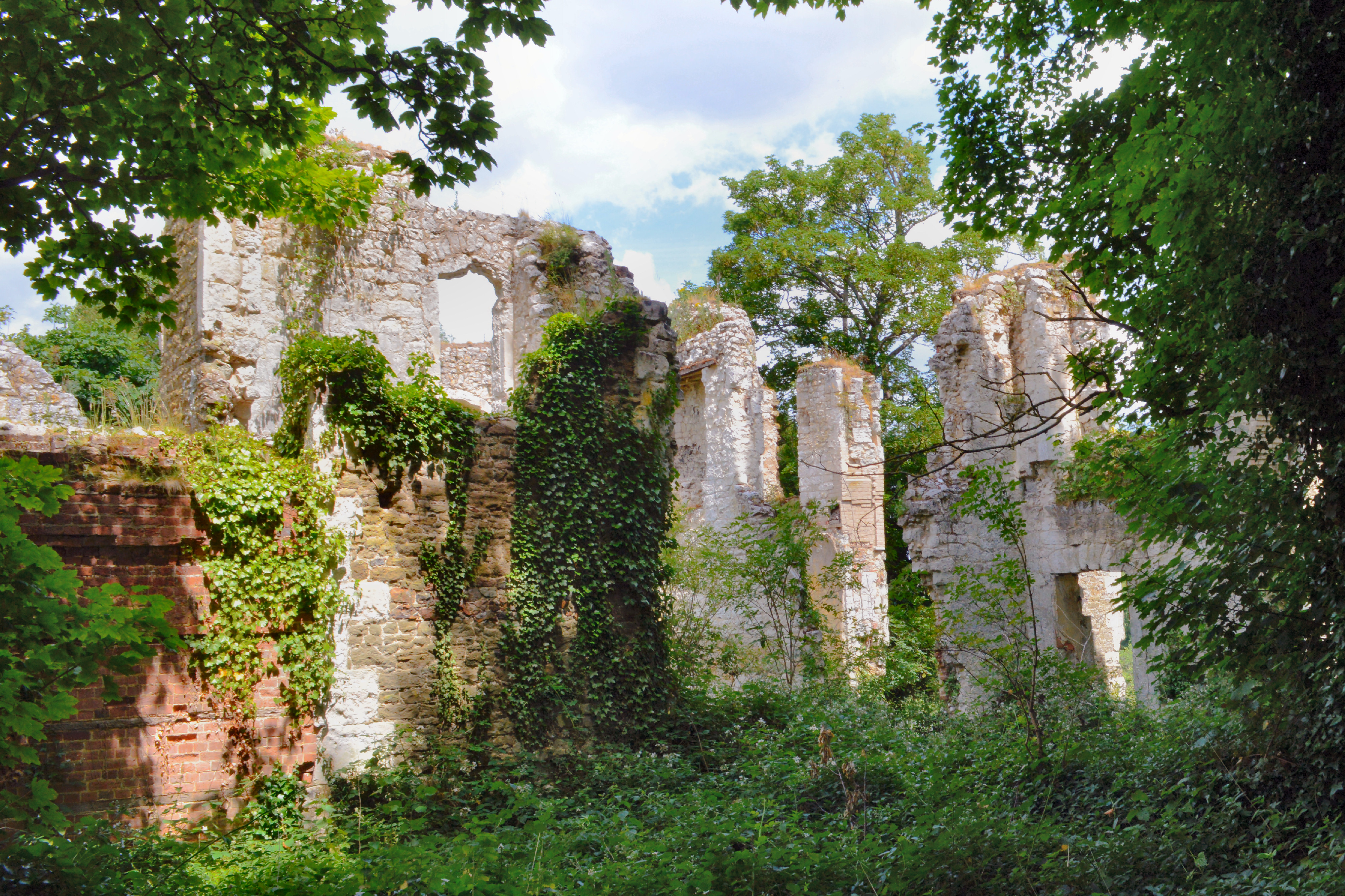
In addition to its natural beauty, The Rough also holds historical significance. It is believed that the forest has been inhabited since ancient times, with traces of human presence dating back to the Roman era. Archaeological discoveries, including pottery and tools, have been made in the area, offering insights into the region's rich history.
Overall, The Rough in Surrey is a captivating natural retreat that offers a peaceful and rejuvenating experience for individuals seeking solace in nature. Its abundant wildlife, scenic trails, and historical significance make it a must-visit destination for those looking to immerse themselves in the beauty of the Surrey countryside.
If you have any feedback on the listing, please let us know in the comments section below.
The Rough Images
Images are sourced within 2km of 51.21998/-0.27809945 or Grid Reference TQ2048. Thanks to Geograph Open Source API. All images are credited.


The Rough is located at Grid Ref: TQ2048 (Lat: 51.21998, Lng: -0.27809945)
Administrative County: Surrey
District: Mole Valley
Police Authority: Surrey
What 3 Words
///fork.lunch.blend. Near Dorking, Surrey
Nearby Locations
Related Wikis

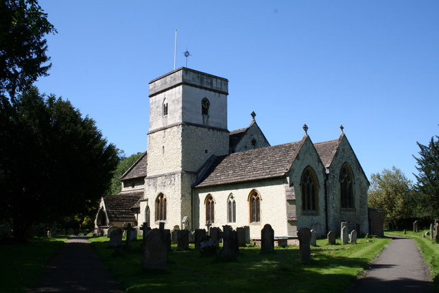
Brockham
Brockham is a village and civil parish in the Mole Valley district of Surrey, England. It is approximately 1.5 miles (2.4 km) east of Dorking and 4 miles...

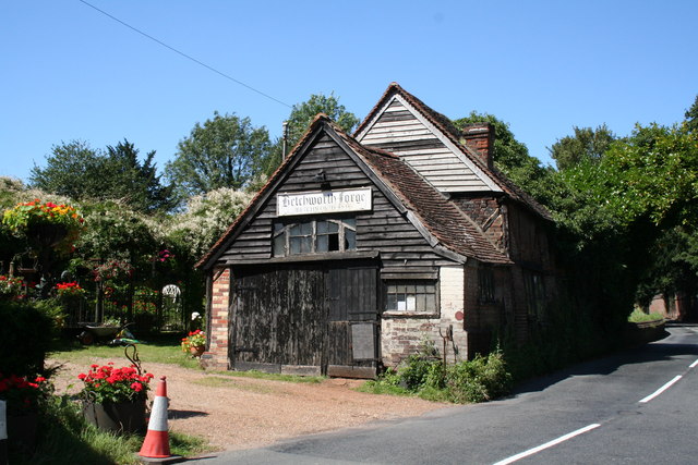
Betchworth
Betchworth is a village and civil parish in the Mole Valley district of Surrey, England. The village centre is on the north bank of the River Mole and...
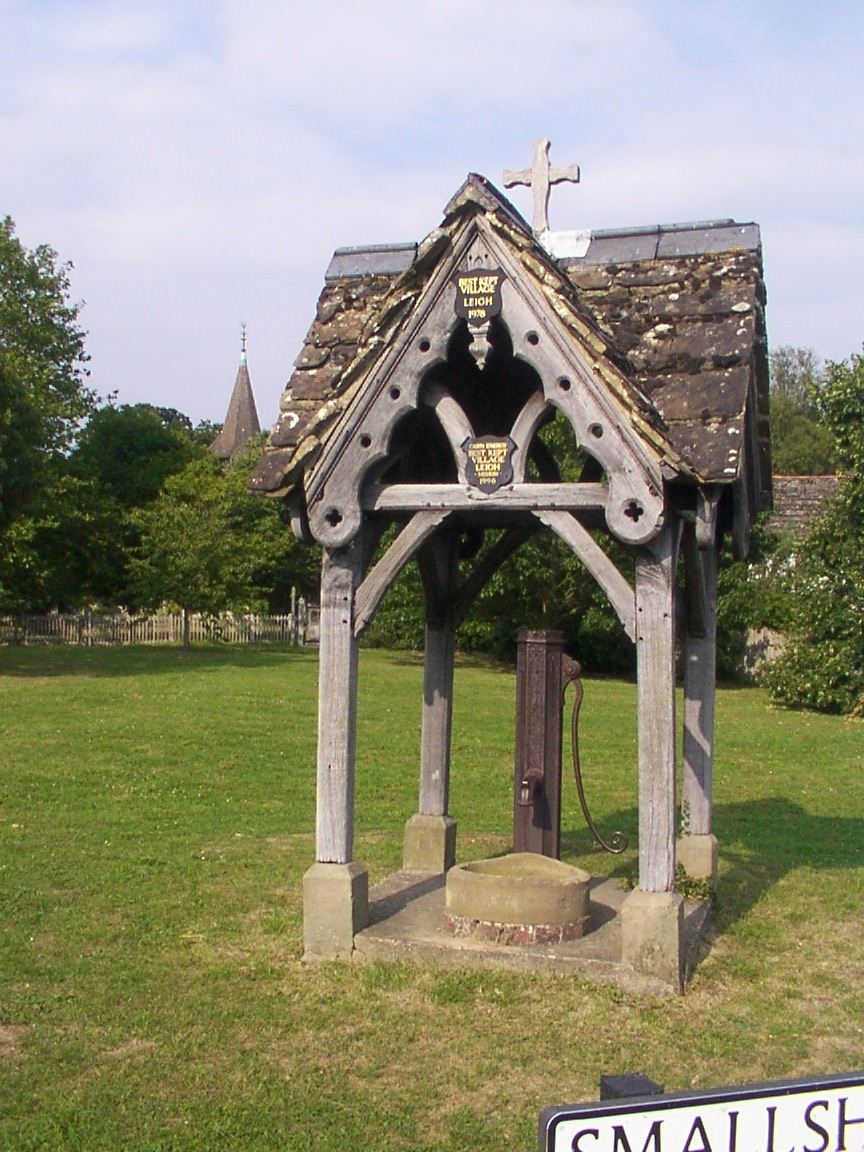
Leigh, Surrey
Leigh is a village and civil parish in Surrey, between Reigate, Dorking and Charlwood in the east of Mole Valley district. The village centre is suburban...
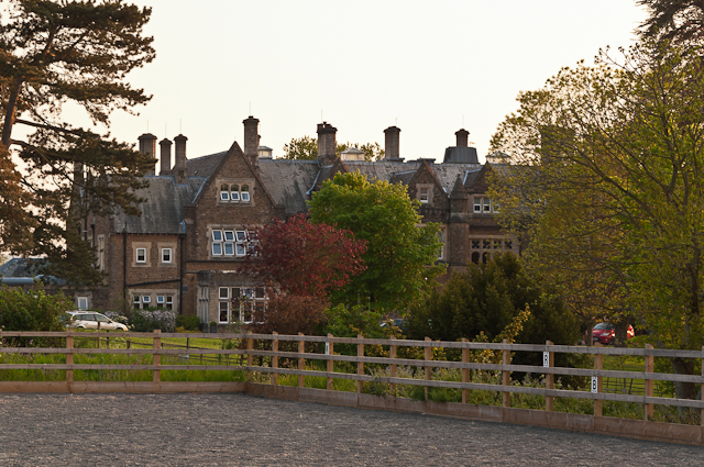
Hartsfield Manor
Hartsfield Manor is an early Victorian house of historical significance located in Betchworth, Surrey, England. It was built in the 1860s as a private...
Betchworth Castle
Betchworth Castle is a mostly crumbled ruin of a fortified medieval stone house with some tall, two-storey corners strengthened in the 18th century, in...

Wotton Hundred
The Hundred of Wotton, Wotton Hundred or Dorking Hundred was a hundred in Surrey, England. The hundred comprised a south-central portion of the county...

Deepdene Terrace
Deepdene Terrace is a 4-hectare (9.9-acre) nature reserve south-east of Dorking in Surrey. It is owned by Mole Valley District Council and managed by...

Glory Wood and Devil's Den
Glory Wood and Devil's Den is a 13-hectare (32-acre) nature reserve south-east of Dorking in Surrey. It is owned by Mole Valley District Council, and...
Nearby Amenities
Located within 500m of 51.21998,-0.27809945Have you been to The Rough?
Leave your review of The Rough below (or comments, questions and feedback).