Victoria Spinney
Wood, Forest in Bedfordshire
England
Victoria Spinney

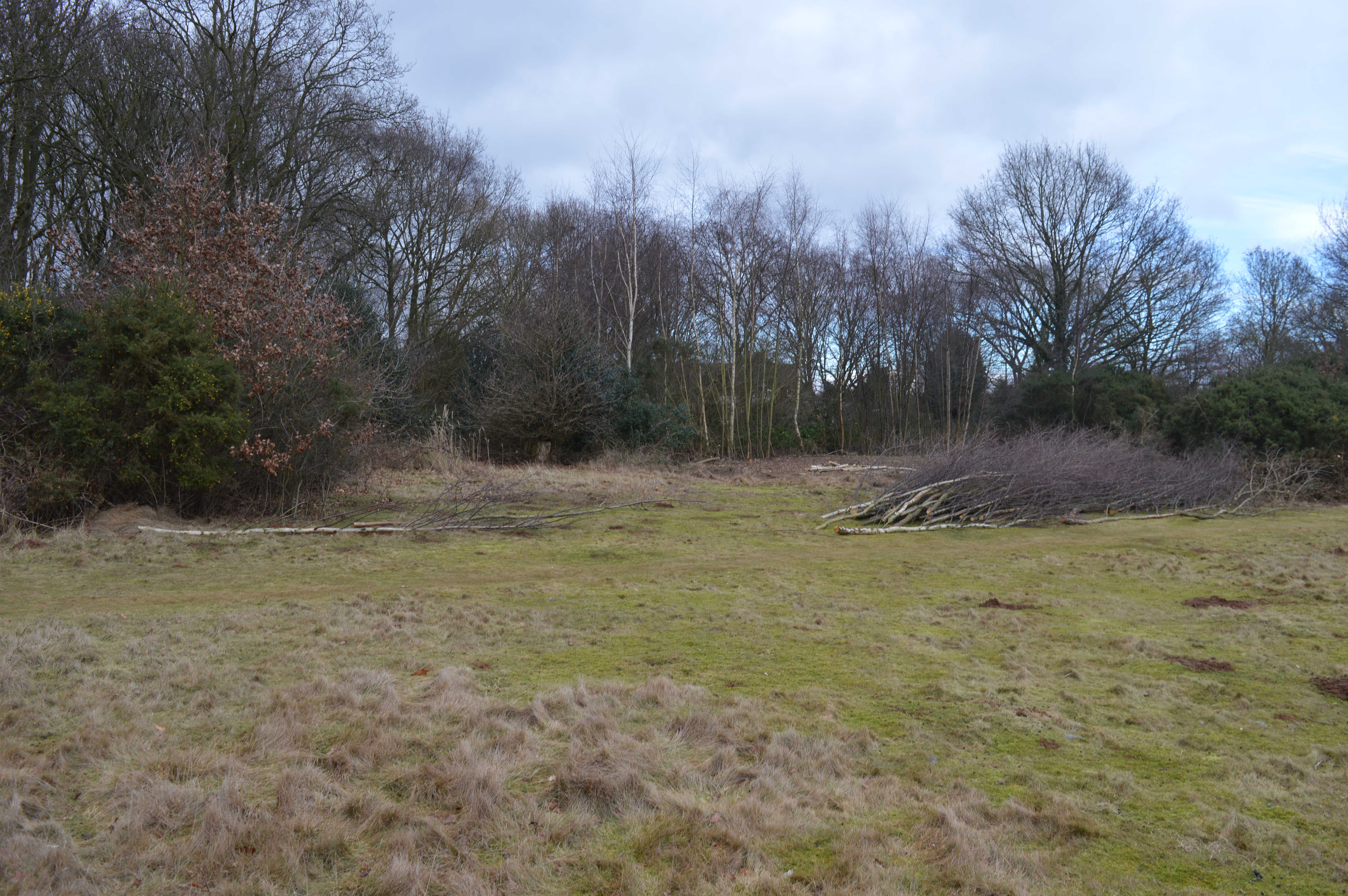
Victoria Spinney is a small woodland area located in Bedfordshire, England. Situated near the town of Bedford, it covers an approximate area of 10 acres and is a popular destination for nature enthusiasts and local residents seeking a peaceful retreat.
The woodland is characterized by its dense and diverse vegetation, consisting mainly of native broadleaf trees such as oak, beech, and ash. These trees create a lush canopy that provides shade and a cool environment for visitors during the hot summer months. The forest floor is covered with a rich carpet of ferns, bluebells, and wildflowers, adding to the beauty and biodiversity of the area.
Victoria Spinney is home to a variety of wildlife, including birds, squirrels, and deer. Birdwatchers will have the opportunity to spot a range of species, such as woodpeckers, thrushes, and warblers, as they navigate through the treetops. The woodland provides a natural habitat for these animals, offering shelter and food sources.
The site is equipped with well-maintained walking trails, allowing visitors to explore the woodland at their own pace. These paths wind through the trees, providing picturesque views and opportunities for photography. Additionally, there are designated picnic areas where visitors can relax and enjoy the serene surroundings.
Victoria Spinney is managed by the local council, ensuring the preservation of its natural beauty and safeguarding its ecosystem. The woodland is open to the public throughout the year, with no admission fees.
If you have any feedback on the listing, please let us know in the comments section below.
Victoria Spinney Images
Images are sourced within 2km of 52.15178/-0.24647079 or Grid Reference TL2051. Thanks to Geograph Open Source API. All images are credited.


Victoria Spinney is located at Grid Ref: TL2051 (Lat: 52.15178, Lng: -0.24647079)
Unitary Authority: Central Bedfordshire
Police Authority: Bedfordshire
What 3 Words
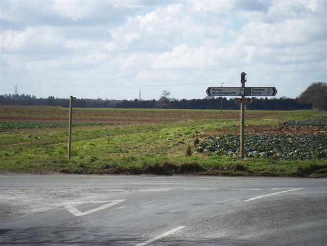
///chipper.forklift.dreams. Near Everton, Bedfordshire
Nearby Locations
Related Wikis
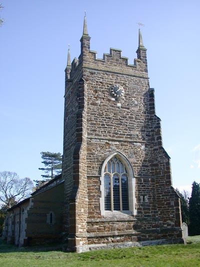
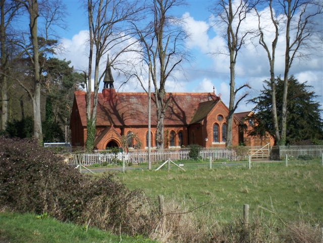
Church of St Mary, Everton, Bedfordshire
Church of St Mary is a Grade I listed church in Everton, Bedfordshire, England. It became a listed building on 26 November 1986. Its most famous rector...

Everton, Bedfordshire
Everton is a small rural village of about 200 dwellings (including outlying) and civil parish in the Central Bedfordshire district of Bedfordshire, England...

RAF Tempsford
RAF Tempsford is a former Royal Air Force station located 2.3 miles (3.7 km) north east of Sandy, Bedfordshire, England and 4.4 miles (7.1 km) south of...
Tetworth
Tetworth is a village and former civil parish, now in the parish of Waresley-cum-Tetworth, in Cambridgeshire, England. Tetworth lies approximately 12 miles...

Sandy Heath transmitting station
Sandy Heath transmitting station is a television and radio broadcasting station in England, located between Sandy, Bedfordshire and Potton near the B1042...
Gamlingay Cinques
Gamlingay Cinques is a 3.4-hectare (8.4-acre) nature reserve in Gamlingay in Cambridgeshire. It is managed by the Wildlife Trust for Bedfordshire, Cambridgeshire...

Tempsford railway station
Tempsford railway station was a railway station built by the Great Northern Railway to serve the village of Tempsford in Bedfordshire, England. == History... ==
Potton railway station
Potton was a railway station on the Varsity Line which served the small town of the same name in Bedfordshire. Opened in 1857 as part of Sir William Peel...
Nearby Amenities
Located within 500m of 52.15178,-0.24647079Have you been to Victoria Spinney?
Leave your review of Victoria Spinney below (or comments, questions and feedback).