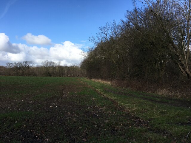
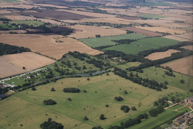
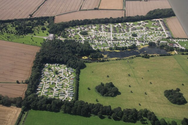
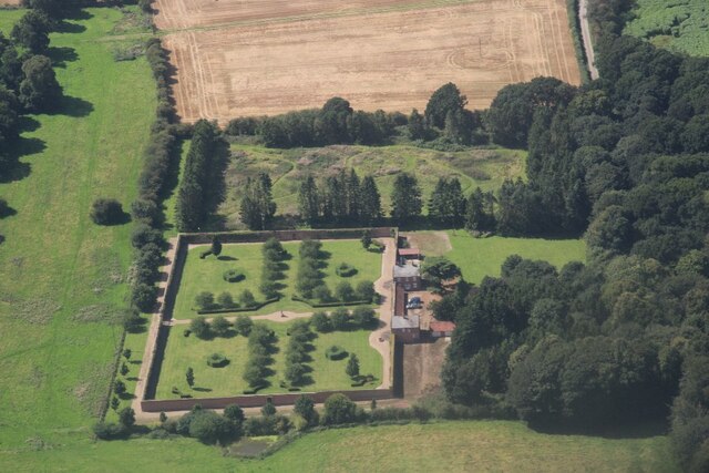
Smithy Bridge Plantation
Wood, Forest in Yorkshire
England
Smithy Bridge Plantation

The requested URL returned error: 429 Too Many Requests
If you have any feedback on the listing, please let us know in the comments section below.
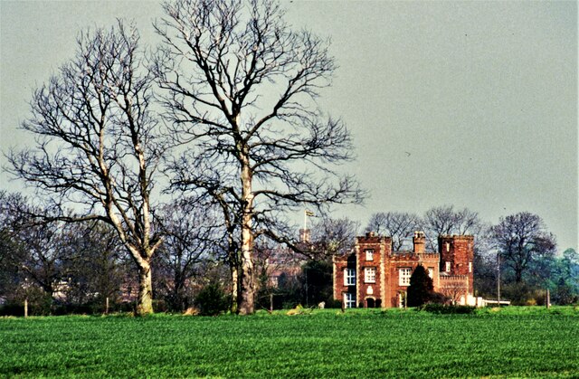
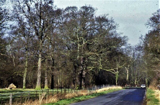
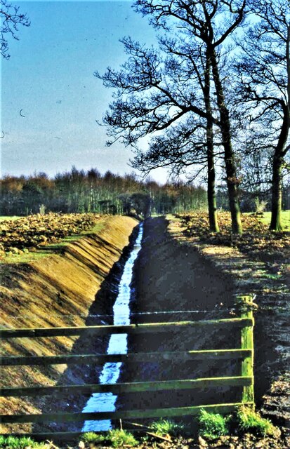
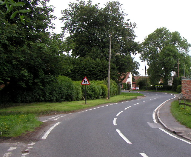
Smithy Bridge Plantation Images
Images are sourced within 2km of 53.815233/-0.17928406 or Grid Reference TA1936. Thanks to Geograph Open Source API. All images are credited.

Smithy Bridge Plantation is located at Grid Ref: TA1936 (Lat: 53.815233, Lng: -0.17928406)
Division: East Riding
Unitary Authority: East Riding of Yorkshire
Police Authority: Humberside
What 3 Words
///painter.hushed.tungsten. Near Burton Constable, East Yorkshire
Nearby Locations
Related Wikis

West Newton, East Riding of Yorkshire
West Newton is a hamlet in the East Riding of Yorkshire, England. It is situated approximately 9 miles (14 km) north-east of Hull city centre and 6 miles...
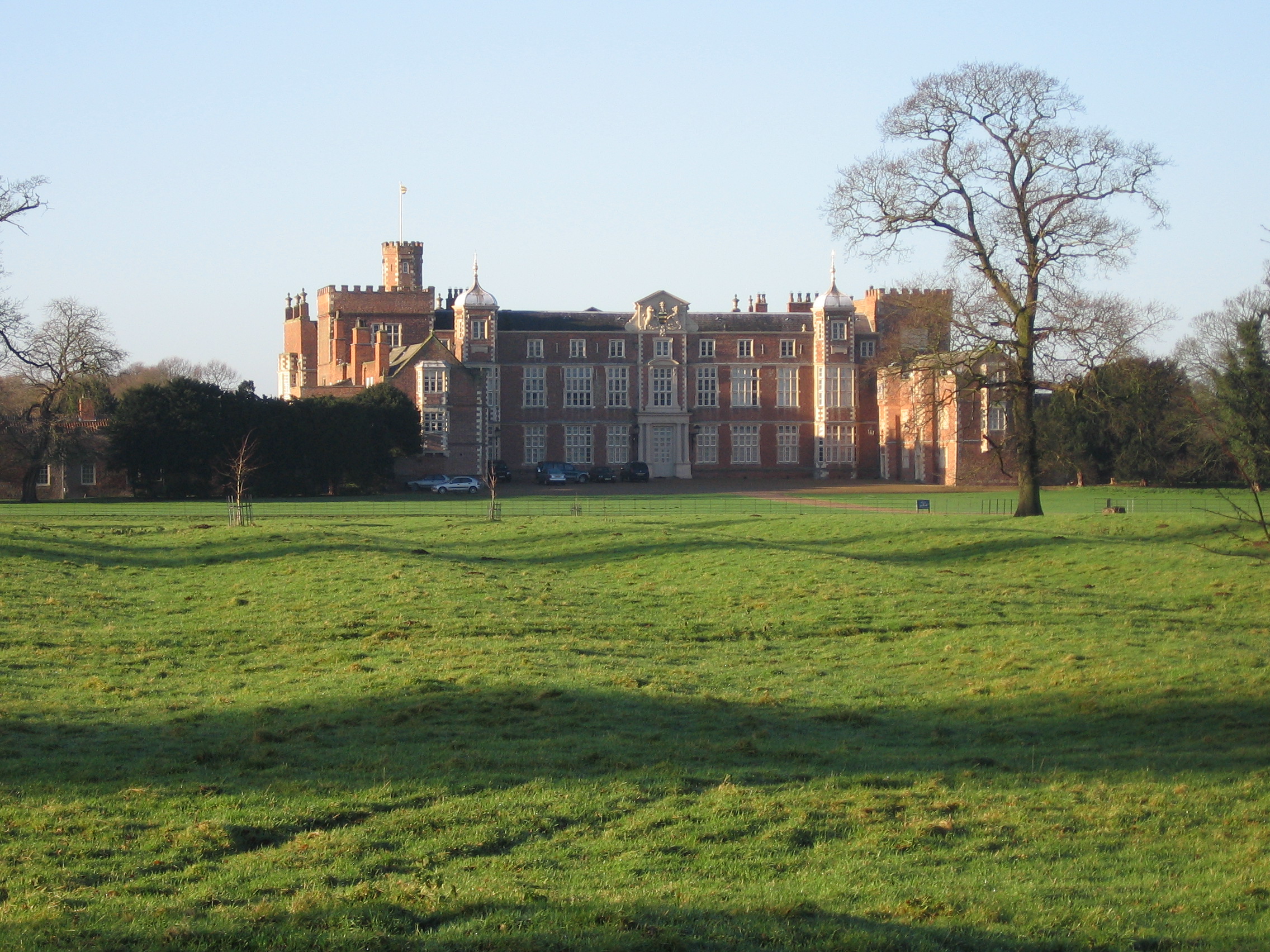
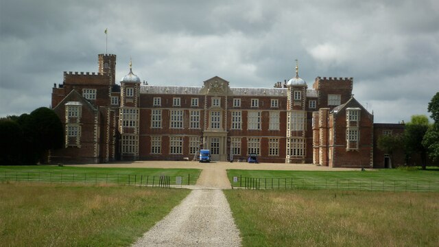
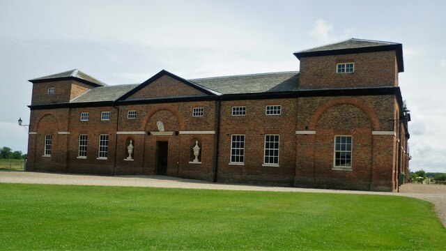
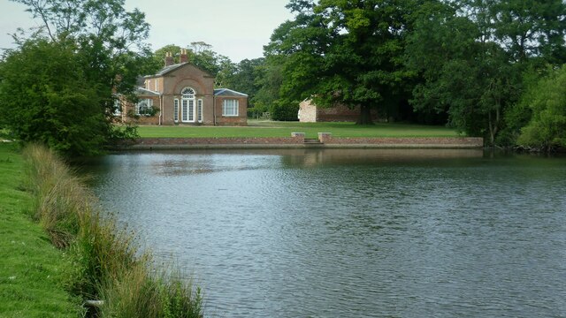
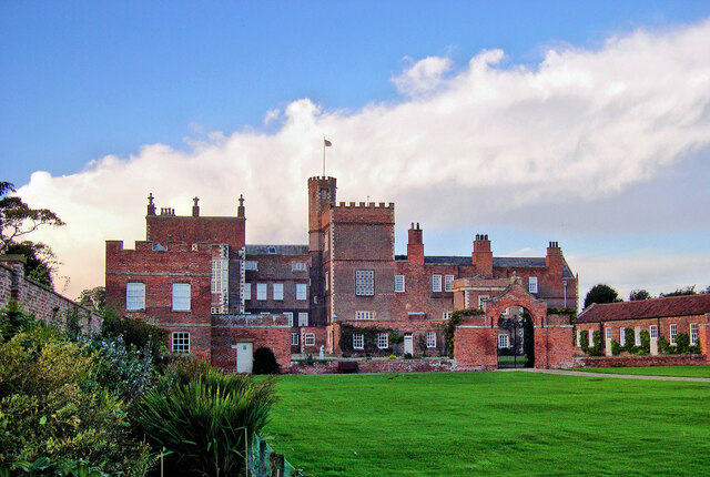
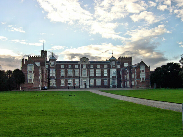
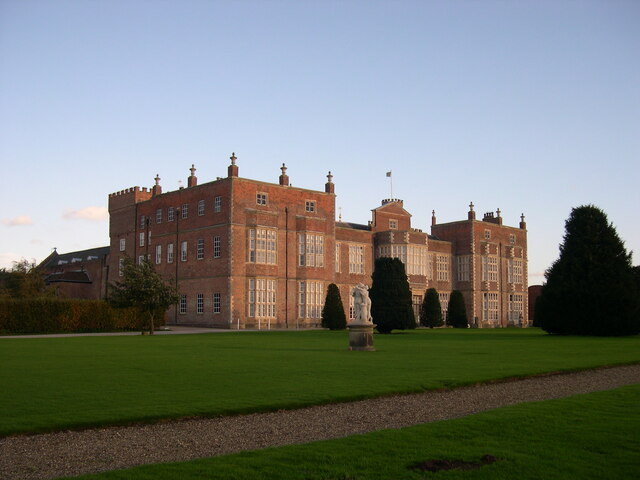
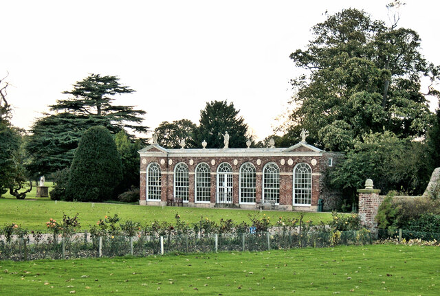
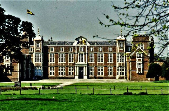
Burton Constable Hall
Burton Constable Hall is a large Elizabethan country house in England, with 18th- and 19th-century interiors and a fine 18th-century cabinet of curiosities...

Burton Constable
Burton Constable is a village and civil parish in the East Riding of Yorkshire, England. It is located approximately 9 miles (14 km) north-east of Hull...
Flinton, East Riding of Yorkshire
Flinton is a village in the civil parish of Humbleton, in the East Riding of Yorkshire, England, in an area known as Holderness. It is situated approximately...
Nearby Amenities
Located within 500m of 53.815233,-0.17928406Have you been to Smithy Bridge Plantation?
Leave your review of Smithy Bridge Plantation below (or comments, questions and feedback).