Breach Spring

Wood, Forest in Hertfordshire North Hertfordshire

England

Breach Spring

Ladygrove cottages, Preston
Ladygrove cottages, Preston Credit: David Howard

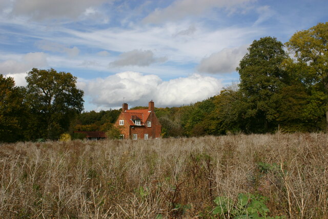
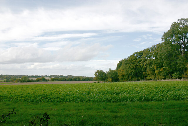
Breach Spring is a small, picturesque woodland located in the county of Hertfordshire, England. Known for its natural beauty and tranquility, the woodland is a popular destination for nature enthusiasts, hikers, and wildlife lovers.

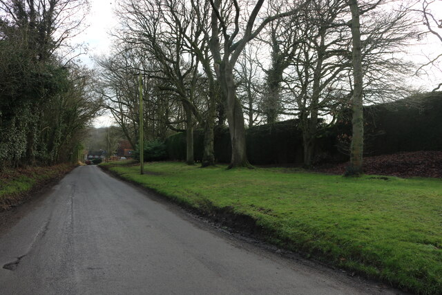
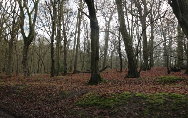
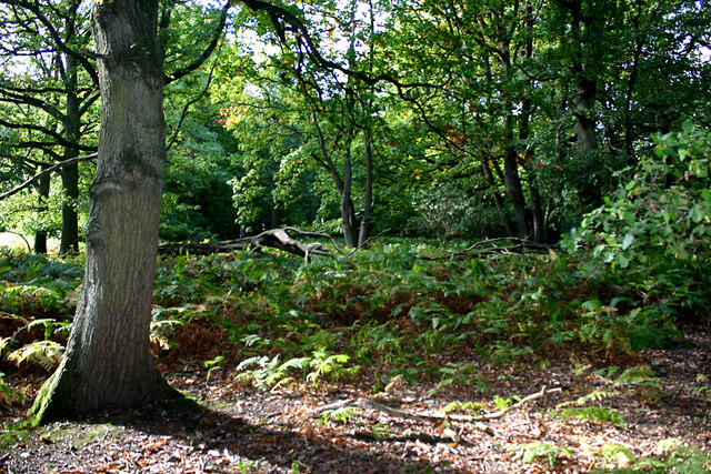
Covering an area of approximately 50 acres, Breach Spring is characterized by its dense, ancient woodland, consisting mainly of oak and beech trees. These towering trees create a serene canopy, providing shade during the summer months and a vibrant display of colors during the autumn season.

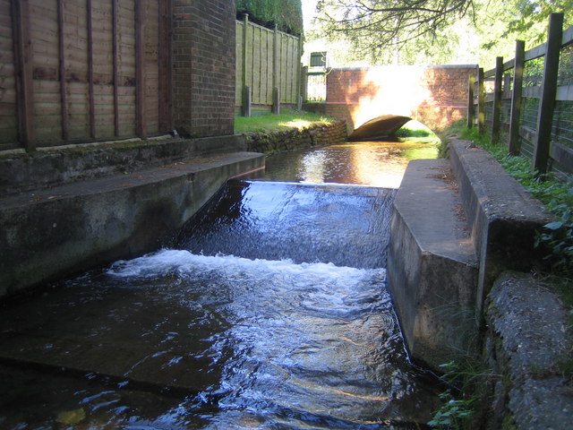
The woodland is intersected by a gentle stream, known as Breach Spring, which meanders through the forest. This stream adds to the charm of the area, attracting various aquatic species and providing a refreshing spot for visitors to relax and enjoy the peaceful surroundings.

Breach Spring is home to a diverse range of wildlife. Birdwatchers can spot a variety of species, including woodpeckers, nuthatches, and jays. The woodland is also inhabited by mammals such as deer, foxes, and badgers, which can occasionally be seen exploring their natural habitat.

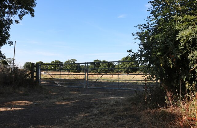
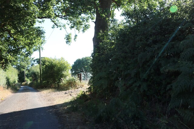
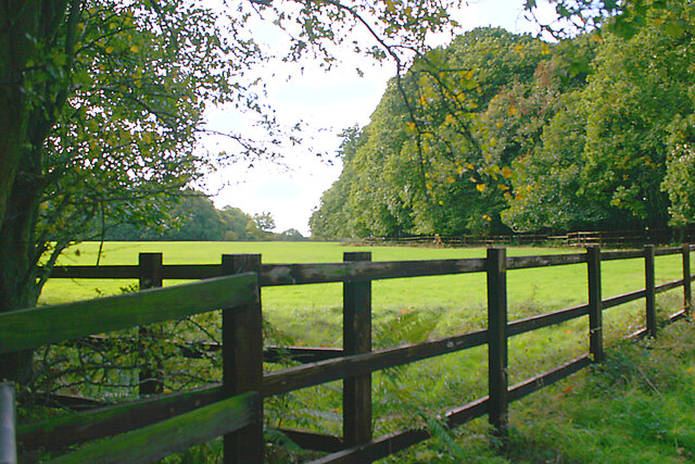
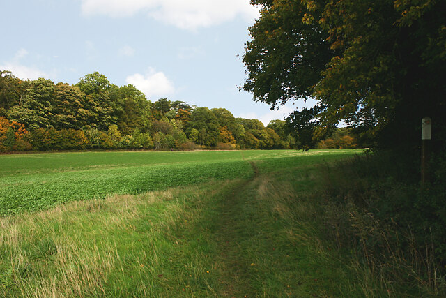
With its well-maintained footpaths and trails, Breach Spring offers an opportunity for visitors to explore the woodland and appreciate its natural wonders. The scenic views, coupled with the serene atmosphere, make it an ideal location for photography, picnics, and leisurely walks.

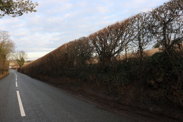
Breach Spring is easily accessible by road, with ample parking available nearby. It is a cherished local gem that provides an escape from the hustle and bustle of everyday life, inviting visitors to immerse themselves in the beauty of nature.

If you have any feedback on the listing, please let us know in the comments section below.

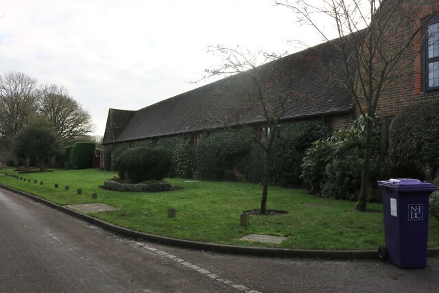
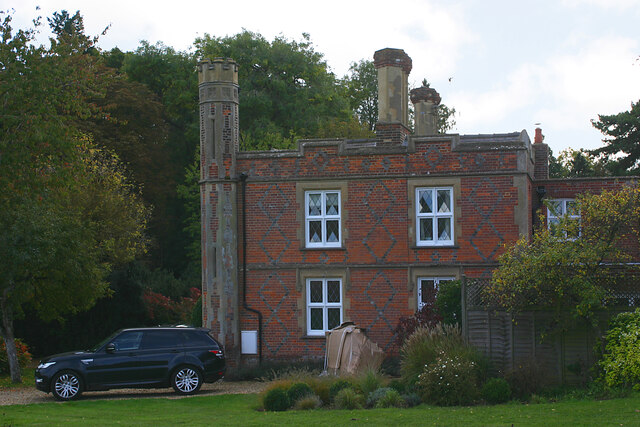
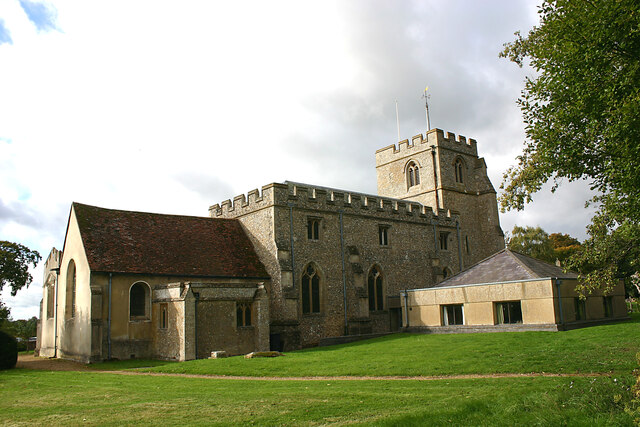
Breach Spring Images

Images are sourced within 2km of 51.891919/-0.25908955 or Grid Reference TL1922. Thanks to Geograph Open Source API. All images are credited.

Ladygrove cottages, Preston
Hitchwood Lane, Preston
Hitchwood Lane near Preston
Hitch Wood
Hitch Wood
Whitwell Road near St Paul's Walden
Field entrance on Bullock's Hill, St Paul's Walden
Bullock's Hill, St Paul's Walden
Minsden Chapel, Langley The chapel has been recently restored and the vegetation around and within it cleared. This shows its three remaining walls, the east wall having now collapsed.
Minsden Chapel, Langley
The chapel has been recently restored and the vegetation around and within it cleared. This shows its three remaining walls, the east wall having now collapsed.
Minsden Chapel, Langley The chapel has been recently restored and the vegetation around and within it cleared. This shows the south and west walls.
Minsden Chapel, Langley
The chapel has been recently restored and the vegetation around and within it cleared. This shows the south and west walls.
Minsden Chapel, Langley The chapel has been recently restored and the vegetation around and within it cleared. The picture was taken from the north-east corner of the site.
Minsden Chapel, Langley
The chapel has been recently restored and the vegetation around and within it cleared. The picture was taken from the north-east corner of the site.
Reservoir near Preston (Herts) As seen from the east.
Reservoir near Preston (Herts)
As seen from the east.
Lady Grove, Preston (Herts) 'Lady Grove' appears twice on the OS map and seems to indicate two areas of woodland separated by an area of grassland. This picture shows the northern part of the wood.
Lady Grove, Preston (Herts)
'Lady Grove' appears twice on the OS map and seems to indicate two areas of woodland separated by an area of grassland. This picture shows the northern part of the wood.
Lady Grove, Preston (Herts) 'Lady Grove' appears twice on the OS map and seems to indicate two areas of woodland separated by an area of grassland. This image shows the latter with the northern part of the wood seen on the right and the southern part on the left.
Lady Grove, Preston (Herts)
'Lady Grove' appears twice on the OS map and seems to indicate two areas of woodland separated by an area of grassland. This image shows the latter with the northern part of the wood seen on the right and the southern part on the left.
Farmland between woods near Preston (Herts) The Firs is left and Pinfold Wood right.
Farmland between woods near Preston (Herts)
The Firs is left and Pinfold Wood right.
Pinfold Cottage, Stagenhoe Park, St Paul's Walden Not much has changed here since <a href="https://www.geograph.org.uk/photo/518926">TL1823 : Cottage between Pinfold Wood and Foxholes Wood</a> was taken and the same observations still apply.
Pinfold Cottage, Stagenhoe Park, St Paul's Walden
Not much has changed here since TL1823 : Cottage between Pinfold Wood and Foxholes Wood was taken and the same observations still apply.
The Dower House, Stagenhoe Park, St Paul's Walden Referred to in the list of Listed Buildings as "Pair of gardeners houses, now one house. Mid C19. Red brick with black brick diapering and patterns, castellated Neo-Tudor style with stucco dressings".
The Dower House, Stagenhoe Park, St Paul's Walden
Referred to in the list of Listed Buildings as "Pair of gardeners houses, now one house. Mid C19. Red brick with black brick diapering and patterns, castellated Neo-Tudor style with stucco dressings".
Farmland adjacent to Foxholes Wood, St Paul's Walden Foxholes Wood is to the right with Hearnsfield Wood in the middle distance.
Farmland adjacent to Foxholes Wood, St Paul's Walden
Foxholes Wood is to the right with Hearnsfield Wood in the middle distance.
All Saints, St Paul's Walden - north elevation Most of the church is C14 but the chancel (left) is C18 and the Church Rooms (right) date from 1973-74.
All Saints, St Paul's Walden - north elevation
Most of the church is C14 but the chancel (left) is C18 and the Church Rooms (right) date from 1973-74.
Show me another place!

Breach Spring is located at Grid Ref: TL1922 (Lat: 51.891919, Lng: -0.25908955)

Administrative County: Hertfordshire

District: North Hertfordshire

Police Authority: Hertfordshire

What 3 Words

///animal.keys.actors. Near Stevenage, Hertfordshire

Related Wikis

St Paul's Walden

St Paul's Walden is a village about 5 miles (8 km) south of Hitchin in Hertfordshire, England. The civil parish of St Paul's Walden also includes the village...

Hill End Pit

Hill End Pit (also called Hill End Farm Pit or Hitch Wood Pit) is a 0.7-hectare (1.7-acre) nature reserve on the site of a former chalk pit, in St Paul...

Stagenhoe

Stagenhoe is a Grade II listed stately home and surrounding gardens located in the village of St Paul's Walden in Hertfordshire. It is approximately 6...
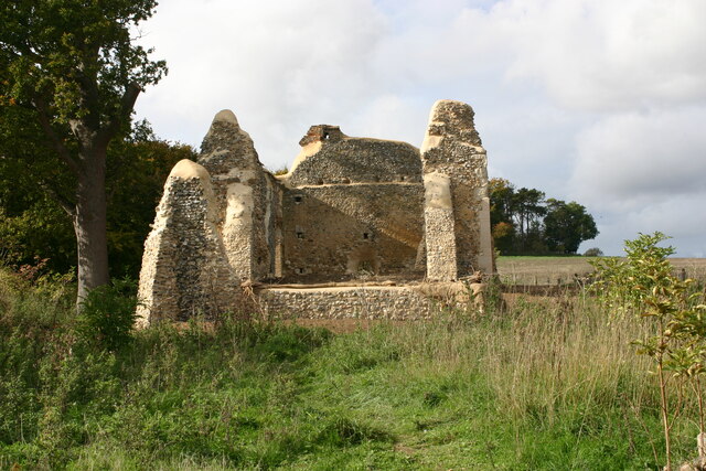
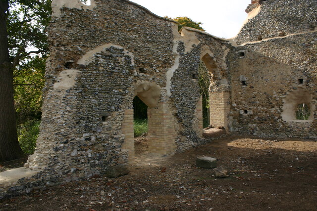
Minsden Chapel

Minsden Chapel is an isolated ruined chapel in the fields above the hamlet of Chapelfoot, near Preston, Hertfordshire. Today it is a roofless shell, partly...

St Paul's Walden Bury

St. Paul's Walden Bury is an English country house and surrounding gardens in the village of St Paul's Walden in Hertfordshire. The house is a Grade II...

Langley, Hertfordshire

Langley is a hamlet and civil parish in the non-metropolitan district of North Hertfordshire and county of Hertfordshire. The population was 175 in the...

Whitwell, Hertfordshire

Whitwell is a village in the parish of St Paul's Walden about six miles south of Hitchin in Hertfordshire, England. Situated on a tableland, a spur of...

Princess Helena College

PHC was a co-educational independent day and boarding school for students aged 11 to 18 in Preston near Hitchin in Hertfordshire, England. The school was...

Nearby Amenities

Located within 500m of 51.891919,-0.25908955
Barrier: kissing_gate
Foot: yes
Source: GPS, observation
Lat/Long: 51.8899851/-0.261645
Barrier: kissing_gate
Source: GPS, observation
Lat/Long: 51.889605/-0.2603076
Barrier: kissing_gate
Source: GPS, observation
Lat/Long: 51.8896346/-0.2586882
Barrier: kissing_gate
Source: GPS, observation
Lat/Long: 51.8888535/-0.2560418
Bus Stop
Stagenhoe Lodges
Bench: no
Bin: no
Bus: yes
Lit: no
Naptan AtcoCode: 210021101060
Naptan Bearing: NE
Naptan BusStopType: CUS
Naptan CommonName: Stagenhoe Lodges
Naptan Crossing: Hitchwood Lodge
Naptan Indicator: adj
Naptan Landmark: Hitchwood Lodge
Naptan NaptanCode: hrtgmatd
Naptan ShortCommonName: NA
Naptan Street: B651
Naptan Verified: no
Public Transport: platform
Shelter: no
Source: naptan_import
Tactile Paving: no
Lat/Long: 51.8907803/-0.2654529
Bus Stop
Stagenhoe Lodges
Bench: no
Bin: no
Bus: yes
Lit: no
Naptan AtcoCode: 210021107120
Naptan Bearing: SW
Naptan BusStopType: CUS
Naptan CommonName: Stagenhoe Lodges
Naptan Crossing: opp New Lodge
Naptan Indicator: opp
Naptan Landmark: opp New Lodge
Naptan NaptanCode: hrtgjgjp
Naptan ShortCommonName: NA
Naptan Street: B651
Naptan Verified: no
Public Transport: platform
Shelter: no
Source: naptan_import
Tactile Paving: no
Lat/Long: 51.8908856/-0.2652745
Barrier: kissing_gate
Lat/Long: 51.8963144/-0.2585865
Material: wood
Power: pole
Source: Bing
Lat/Long: 51.8890806/-0.2598122
Power: pole
Source: Bing
Lat/Long: 51.8894249/-0.2643585
Material: wood
Power: pole
Source: Bing
Lat/Long: 51.8893123/-0.262835
Material: wood
Power: pole
Source: Bing
Lat/Long: 51.8892039/-0.261384
Power: pole
Source: Bing
Lat/Long: 51.8879189/-0.2560316
Material: wood
Power: pole
Source: Bing
Lat/Long: 51.8881701/-0.256843
Material: wood
Power: pole
Source: Bing
Lat/Long: 51.8886253/-0.2583115
Power: pole
Lat/Long: 51.8939737/-0.25334
Power: pole
Lat/Long: 51.8929893/-0.2521216
The data included in this document is from www.openstreetmap.org. The data is made available under ODbL.

Have you been to Breach Spring?

Leave your review of Breach Spring below (or comments, questions and feedback).