Monks Wood
Wood, Forest in Huntingdonshire Huntingdonshire
England
Monks Wood
The requested URL returned error: 429 Too Many Requests
If you have any feedback on the listing, please let us know in the comments section below.
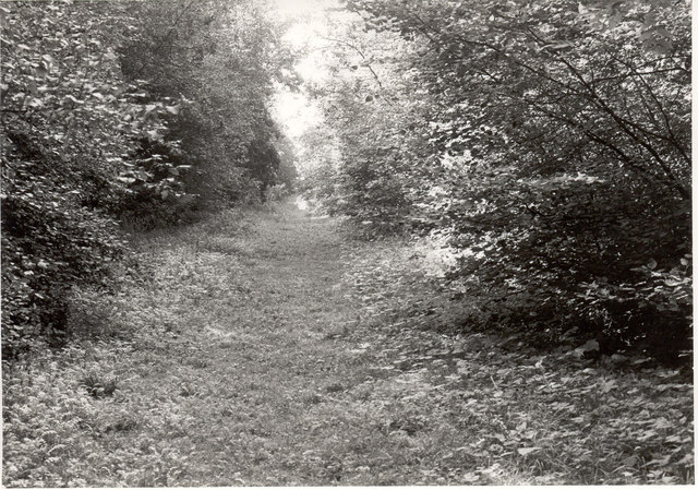
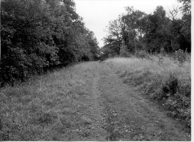
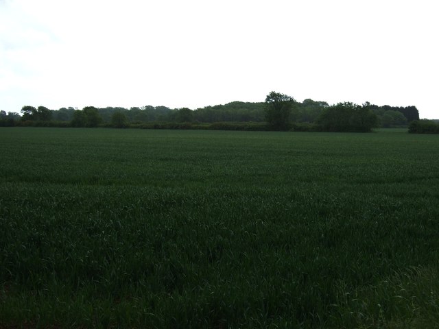
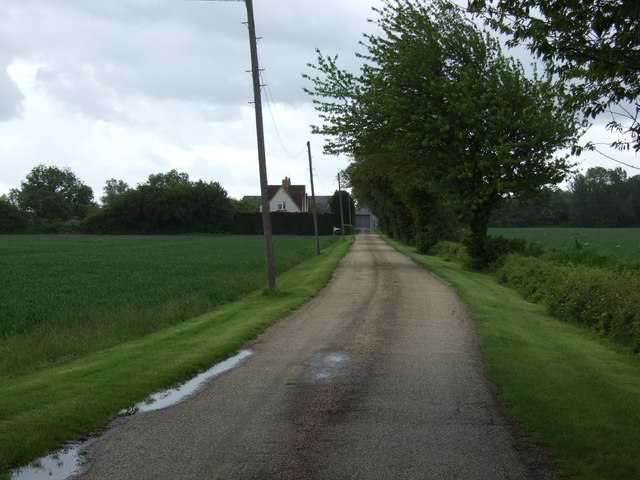
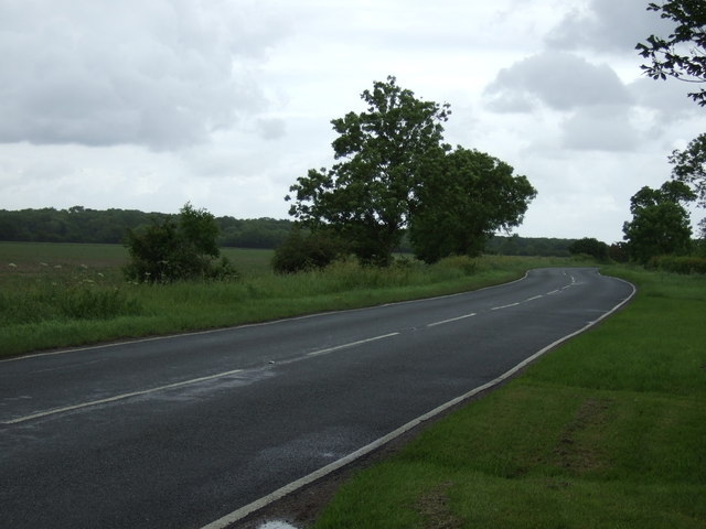
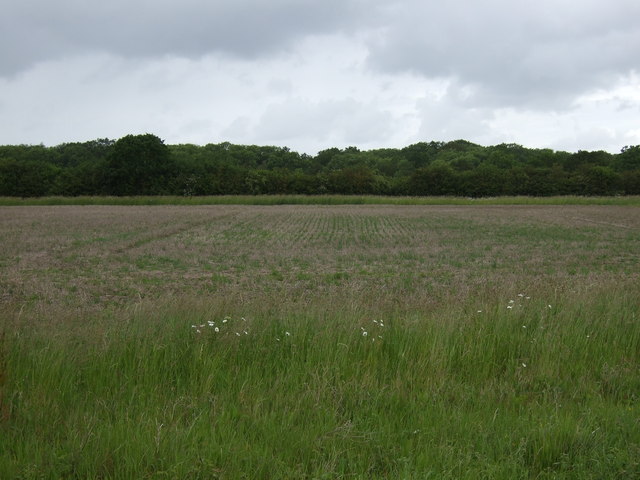
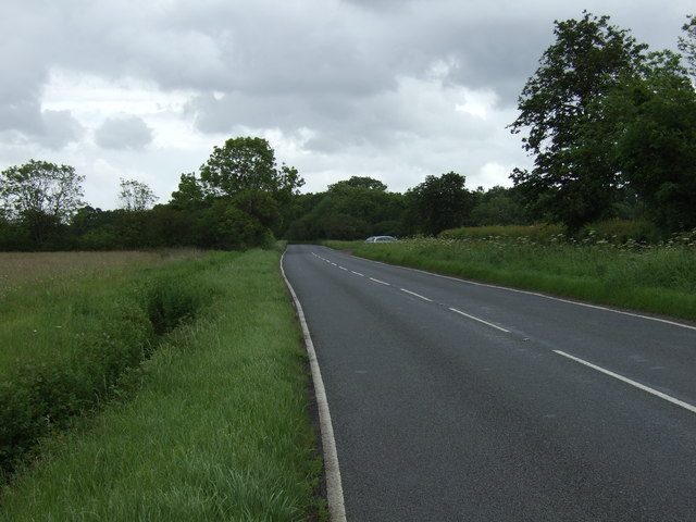
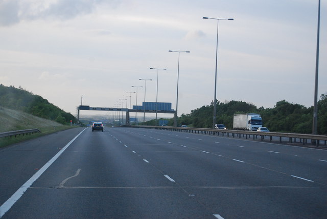
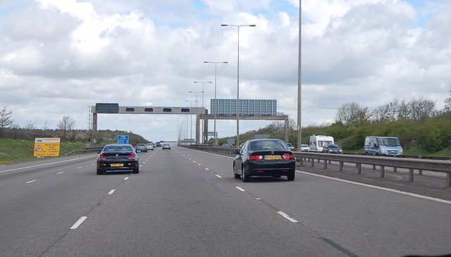
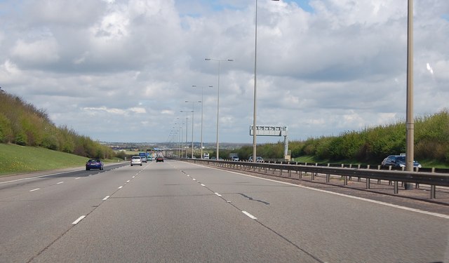
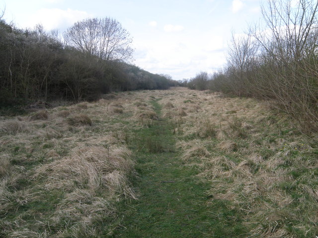
Monks Wood Images
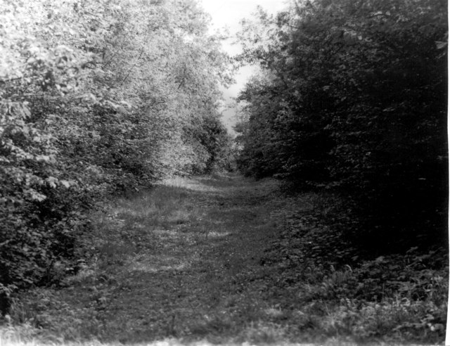
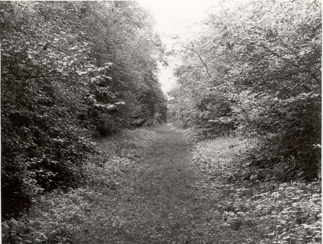
Images are sourced within 2km of 52.40535/-0.23960808 or Grid Reference TL1980. Thanks to Geograph Open Source API. All images are credited.


Monks Wood is located at Grid Ref: TL1980 (Lat: 52.40535, Lng: -0.23960808)
Administrative County: Cambridgeshire
District: Huntingdonshire
Police Authority: Cambridgeshire
What 3 Words
///commuted.unpacked.learning. Near Alconbury, Cambridgeshire
Nearby Locations
Related Wikis

Monks Wood
Monks Wood is a 157-hectare (390-acre) National Nature Reserve north-west of Huntingdon in Cambridgeshire, and a Nature Conservation Review site, Grade...

Huntingdonshire
Huntingdonshire (; abbreviated Hunts) is a local government district in Cambridgeshire, England. It was historically a county in its own right. It borders...
Woodwalton Marsh
Woodwalton Marsh is a 0.8-hectare (2.0-acre) biological Site of Special Scientific Interest north-east of Woodwalton in Cambridgeshire. It is managed by...

Woodwalton
Wood Walton is a village and civil parish in Cambridgeshire, England. Wood Walton lies approximately 6 miles (10 km) north of Huntingdon and just east...
Nearby Amenities
Located within 500m of 52.40535,-0.23960808Have you been to Monks Wood?
Leave your review of Monks Wood below (or comments, questions and feedback).