Pignut Wood

Wood, Forest in Surrey Mole Valley

England

Pignut Wood

Tyrrell's Wood Golf Club The club house is in the distance.
Tyrrell's Wood Golf Club Credit: James Emmans

Pignut Wood is a small but significant woodland area located in Surrey, England. Situated in the borough of Guildford, this forested area covers an approximate area of 20 hectares. It is part of the Surrey Hills Area of Outstanding Natural Beauty, which highlights its importance for conservation and recreation.

The wood derives its name from the abundance of pignut plants (Conopodium majus) that grow within its boundaries. These plants, also known as earthnuts, produce edible tubers that were historically consumed by both humans and animals. The presence of pignuts adds to the diverse range of flora found in the wood.

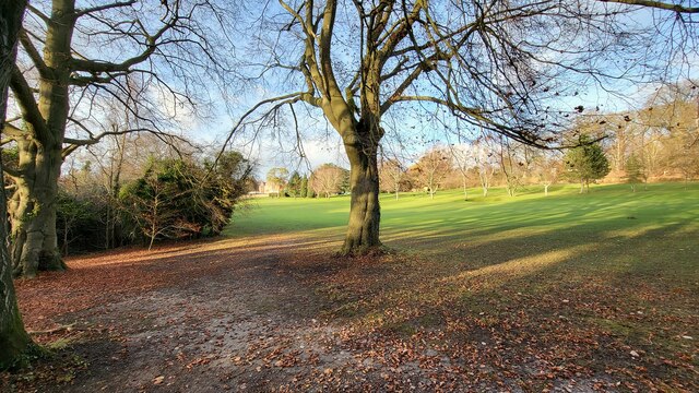
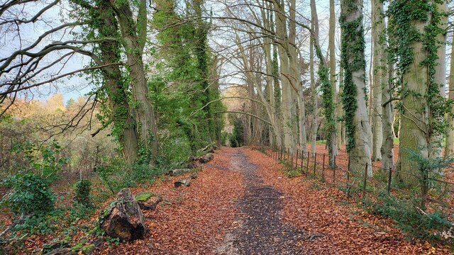
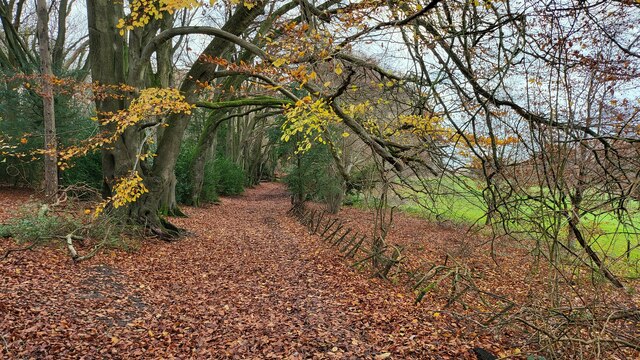
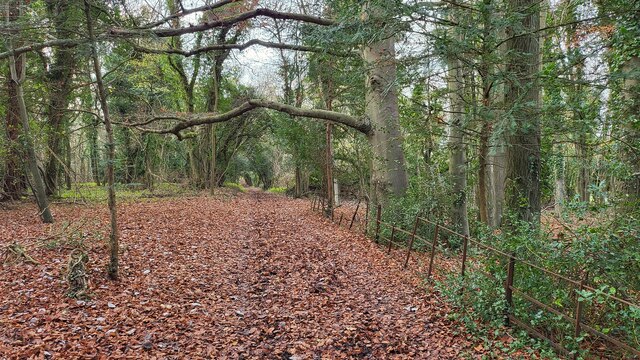
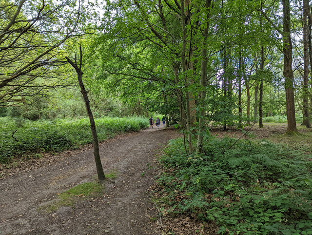
Pignut Wood is primarily composed of mixed deciduous trees, including oak, beech, and birch. The dense tree cover provides a rich habitat for various bird species, such as woodpeckers and owls, as well as small mammals like squirrels and rabbits. The forest floor is carpeted with an array of wildflowers during the spring and summer months, attracting a variety of insects and butterflies.

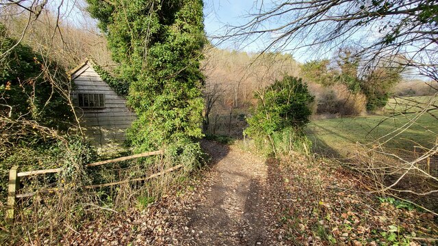
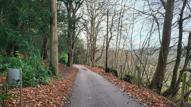
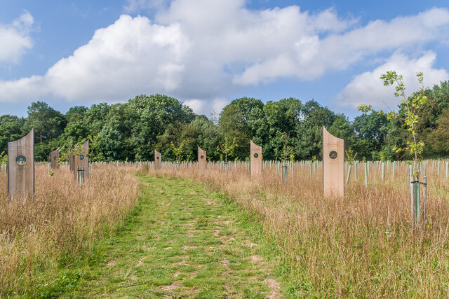
The wood is intersected by several footpaths and trails, making it a popular destination for walkers, hikers, and nature enthusiasts. The surrounding landscape offers stunning views across the rolling hills and valleys of Surrey. Pignut Wood is a peaceful retreat, providing opportunities for leisurely strolls, picnics, and wildlife spotting.

In terms of conservation, Pignut Wood is managed by local authorities and wildlife organizations to preserve its natural features and protect its biodiversity. Regular monitoring and maintenance work ensure the longevity of the woodland ecosystem. It remains an important part of Surrey's natural heritage, attracting visitors from near and far to enjoy its tranquil beauty.

If you have any feedback on the listing, please let us know in the comments section below.
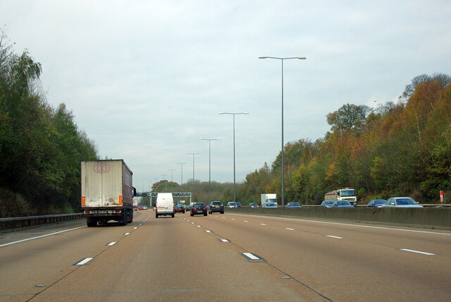
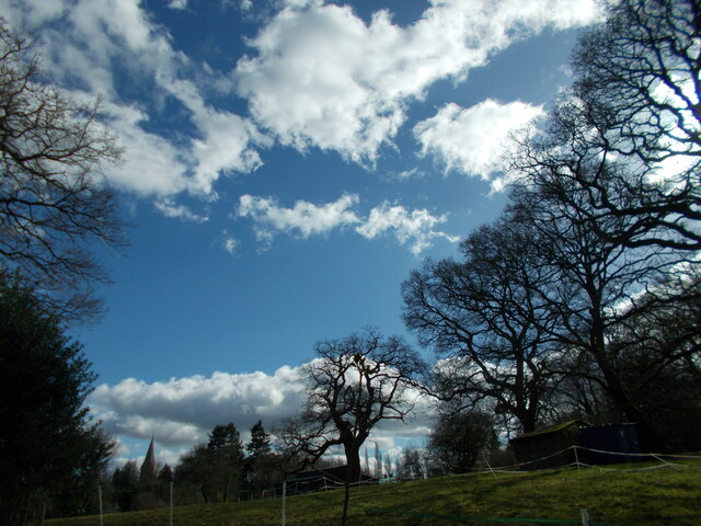
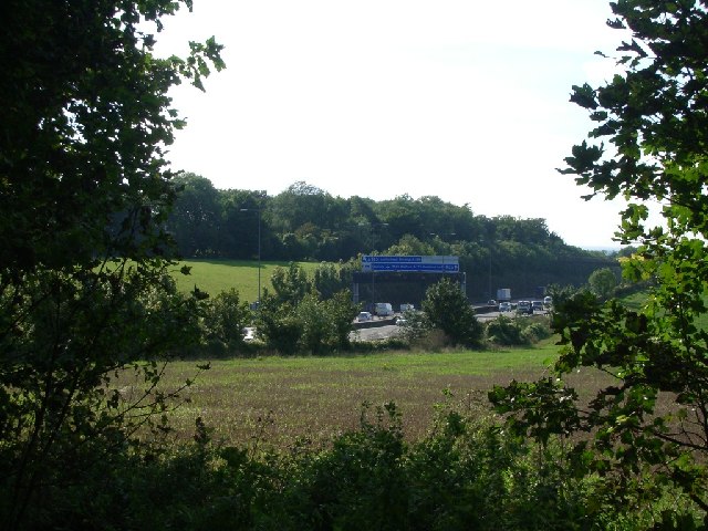
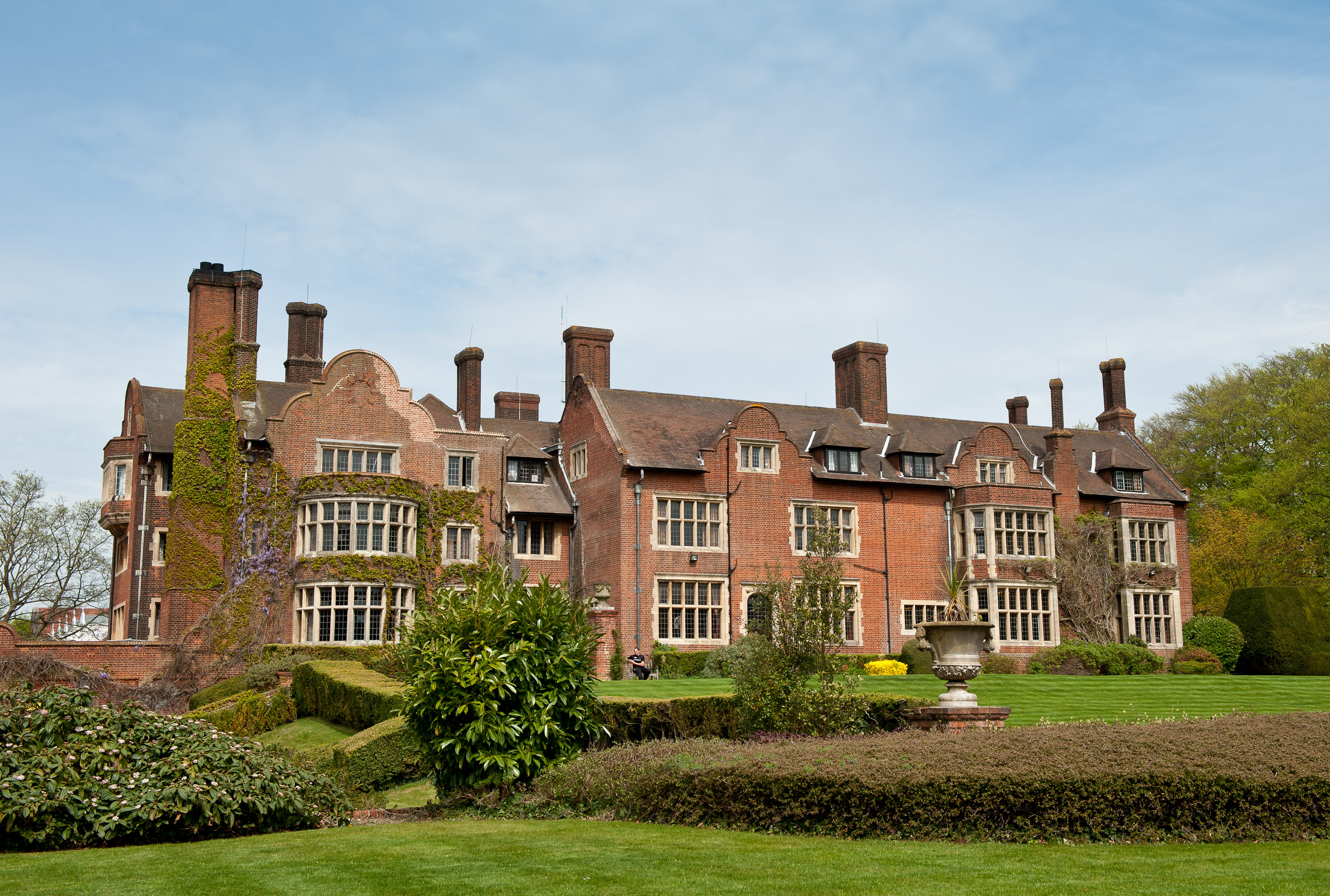
Pignut Wood Images

Images are sourced within 2km of 51.284447/-0.2890115 or Grid Reference TQ1955. Thanks to Geograph Open Source API. All images are credited.

Tyrrell's Wood Golf Club The club house is in the distance.
Tyrrell's Wood Golf Club
The club house is in the distance.
Footpath passing Cockshot Cottage Path close to the Cockshot National Trust Car Park.
Footpath passing Cockshot Cottage
Path close to the Cockshot National Trust Car Park.
High Ashurst Estate Council owned outdoor education centre with no public car access.
High Ashurst Estate
Council owned outdoor education centre with no public car access.
Stane Street Route of a Roman Road now used as a bridleway and the Thames Downs Link trail. The official link for the Thames Path and the North Downs Way.
Stane Street
Route of a Roman Road now used as a bridleway and the Thames Downs Link trail. The official link for the Thames Path and the North Downs Way.
Bridleway on the northern edge of Cherkley Woods Beech leaves forming a thick carpet.

The path is near the car park on Mill Way.
Bridleway on the northern edge of Cherkley Woods
Beech leaves forming a thick carpet. The path is near the car park on Mill Way.
Bridleway towards Downside Manor A very old metal fence on its last legs, marks the boundary of the Tyrrell's Wood Golf Club. 

Info - <span class="nowrap"><a title="https://www.tyrrellswoodgolfclub.com/" rel="nofollow ugc noopener" href="https://www.tyrrellswoodgolfclub.com/">Link</a><img style="margin-left:2px;" alt="External link" title="External link - shift click to open in new window" src="https://s1.geograph.org.uk/img/external.png" width="10" height="10"/></span>
Bridleway towards Downside Manor
A very old metal fence on its last legs, marks the boundary of the Tyrrell's Wood Golf Club. Info - LinkExternal link
M25 clockwise - farm accommodation bridge
Jutland Wood Area in Langley Vale Wood, the largest of four First World War centenary woods developed by the Woodland Trust.  Each of the 14 boards created by Andrew Lapthorn commemorates a ship lost in the Battle of Jutland in 2016, listing the numbers from each drowned or surviving.
Jutland Wood
Area in Langley Vale Wood, the largest of four First World War centenary woods developed by the Woodland Trust. Each of the 14 boards created by Andrew Lapthorn commemorates a ship lost in the Battle of Jutland in 2016, listing the numbers from each drowned or surviving.
Jutland Wood Area in Langley Vale Wood, the largest of four First World War centenary woods developed by the Woodland Trust.  Each of the 14 boards created by Andrew Lapthorn commemorates a ship lost in the Battle of Jutland in 1916, listing the numbers from each drowned or surviving.
Jutland Wood
Area in Langley Vale Wood, the largest of four First World War centenary woods developed by the Woodland Trust. Each of the 14 boards created by Andrew Lapthorn commemorates a ship lost in the Battle of Jutland in 1916, listing the numbers from each drowned or surviving.
Jutland Wood A seat and figure in Jutland Wood, an area in Langley Vale Wood, the largest of four First World War centenary woods developed by the Woodland Trust.  The seat is by Andrew Lapthorn and the figure is by Christine Charlesworth. 
Jutland Wood commemorates the Battle of Jutland in 1916, and the figure has two sides - the far side looking towards the original woodland in the background, which would have been in existence at the time of the battle, depicts a sailor in 1916 uniform, while the side seen here, looking towards the future woodland and depicts a sailor in 2016 uniform.
Jutland Wood
A seat and figure in Jutland Wood, an area in Langley Vale Wood, the largest of four First World War centenary woods developed by the Woodland Trust. The seat is by Andrew Lapthorn and the figure is by Christine Charlesworth. Jutland Wood commemorates the Battle of Jutland in 1916, and the figure has two sides - the far side looking towards the original woodland in the background, which would have been in existence at the time of the battle, depicts a sailor in 1916 uniform, while the side seen here, looking towards the future woodland and depicts a sailor in 2016 uniform.
Bridleway 492. Headley Heath Heading south from by the main car park.
Bridleway 492. Headley Heath
Heading south from by the main car park.
M25 clockwise
M25 clockwise
M25 clockwise - sign gantry Reference 4577A, as stencilled on an upright. 4577B applies to the other carriageway. Deciphering the number using the distance markers at intervals along the road, the 577 seems to locate the feature at 57.7 km from datum, the 4 at a guess the type of feature.
M25 clockwise - sign gantry
Reference 4577A, as stencilled on an upright. 4577B applies to the other carriageway. Deciphering the number using the distance markers at intervals along the road, the 577 seems to locate the feature at 57.7 km from datum, the 4 at a guess the type of feature.
Public footpath across Headley Park
Church spire at Headley A prominent landmark in the area seen from near and far.
Church spire at Headley
A prominent landmark in the area seen from near and far.
Shepherds Walk (Stane Street) looking north towards the junction with Farm Lane (left) and Headley Road (ahead/right)
Shepherds Walk (Stane Street)
looking north towards the junction with Farm Lane (left) and Headley Road (ahead/right)
Fields beside Pebble Lane (Stane Street) looking south-west towards the M25.
Fields beside Pebble Lane (Stane Street)
looking south-west towards the M25.
Show me another place!

Pignut Wood is located at Grid Ref: TQ1955 (Lat: 51.284447, Lng: -0.2890115)

Administrative County: Surrey

District: Mole Valley

Police Authority: Surrey

What 3 Words

///goes.pets.hotel. Near Ashtead, Surrey

Related Wikis

Headley Court

Defence Medical Rehabilitation Centre Headley Court (abbreviated to DMRC Headley Court, and more commonly known as Headley Court), formerly RAF Headley...

Nower Wood

Nower Wood is a 33-hectare (81-acre) nature reserve south-west of Leatherhead in Surrey. It is owned and managed by Surrey Wildlife Trust.Nower Wood is...

Headley, Surrey

Headley is a village and civil parish in the North Downs in Surrey, England. The nearest settlements are, to the west, Mickleham and Leatherhead; to the...

Cherkley Court

Cherkley Court, at the extreme southeast of Leatherhead, Surrey, in England, is a late Victorian neo-classical mansion and estate of 370 acres (1.5 km2...

High Ashurst

High Ashurst is a large natural site of 56 acres of land in an Area of Outstanding Natural Beauty in North Downs, Surrey. The site has been host to many...

Langley Vale Wood

Langley Vale Wood is one of four First World War Centenary woods created by the Woodland Trust. It is located in Langley Vale, near Epsom, on the North...

Downsend School

Downsend School is a co-educational independent school for pupils aged between two and sixteen. In 2020, Downsend became a through-school, offering a three...

City of London Freemen's School

City of London Freemen's School (CLFS) is a co-educational private school for day and boarding pupils, located at Ashtead Park in Surrey, England. It is...

Nearby Amenities

Located within 500m of 51.284447,-0.2890115
Mini Roundabout
Direction: clockwise
Source: P142-0029
Lat/Long: 51.2865984/-0.2859793
Mini Roundabout
Direction: clockwise
Source: P142-0030
Lat/Long: 51.2851803/-0.2846308
Bus Stop
Headley Court
Addr Street: Headley Road
Naptan AtcoCode: 40004408123B
Naptan NaptanCode: surdagtp
Public Transport: platform
Wheelchair: yes
Wheelchair Description: Step-free to stop opposite via Zebra Crossing.
Lat/Long: 51.2863231/-0.2857611
Bus Stop
Headley Court
Addr Street: Headley Road
Naptan AtcoCode: 40004408123A
Naptan NaptanCode: surdagtm
Public Transport: platform
Wheelchair: yes
Wheelchair Description: Step-free to stop opposite via Zebra Crossing.
Lat/Long: 51.2863021/-0.2855463
Crossing
Crossing: uncontrolled
Crossing Ref: zebra
Kerb: flush
Tactile Paving: yes
Wheelchair: yes
Lat/Long: 51.286273/-0.2856111
Golf: pin
Lat/Long: 51.2830738/-0.2933779
The data included in this document is from www.openstreetmap.org. The data is made available under ODbL.

Have you been to Pignut Wood?

Leave your review of Pignut Wood below (or comments, questions and feedback).