Coronation Plantation

Wood, Forest in Hertfordshire North Hertfordshire

England

Coronation Plantation

The Green, Kimpton This view is looking towards Church Lane. the building in the centre is a former butcher's shop.
The Green, Kimpton Credit: Humphrey Bolton

Coronation Plantation, located in Hertfordshire, England, is a picturesque woodland area known for its natural beauty and rich history. Spanning over a vast area, the plantation is a popular destination for nature enthusiasts, hikers, and those seeking tranquility amidst the hustle and bustle of daily life.

The plantation is primarily made up of a mixed woodland, consisting of a variety of tree species such as oak, beech, and birch. These trees create a dense canopy, providing shade and a cool atmosphere during the summer months. The forest floor is adorned with a diverse range of plants and wildflowers, making it an ideal habitat for various animal species.

Coronation Plantation has a long and significant history. It was initially established in the early 20th century to commemorate the coronation of King George V in 1911. The plantation was carefully designed with a network of footpaths and trails, allowing visitors to explore the area while preserving the natural ecosystem.

The plantation offers a range of recreational activities for visitors to enjoy. There are designated picnic areas where families and friends can gather and enjoy a meal surrounded by nature. The well-maintained trails are perfect for walking, jogging, or cycling, providing opportunities for outdoor exercise and exploration.

In addition to its natural beauty, Coronation Plantation also hosts educational programs and events, aiming to raise awareness about the importance of conservation and sustainable living. The plantation serves as a valuable educational resource, allowing visitors to learn about the local flora and fauna and their role in maintaining a healthy ecosystem.

Overall, Coronation Plantation in Hertfordshire is a hidden gem, offering a peaceful retreat for both locals and tourists to connect with nature and appreciate the beauty of the English countryside.

If you have any feedback on the listing, please let us know in the comments section below.

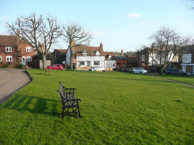
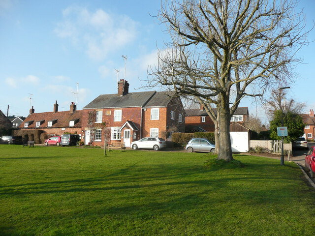
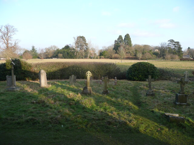
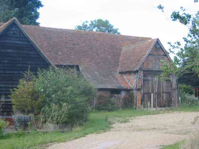
Coronation Plantation Images

Images are sourced within 2km of 51.854372/-0.26907712 or Grid Reference TL1918. Thanks to Geograph Open Source API. All images are credited.

The Green, Kimpton This view is looking towards Church Lane. the building in the centre is a former butcher's shop.
The Green, Kimpton
This view is looking towards Church Lane. the building in the centre is a former butcher's shop.
The north side of the green, Kimpton
View from Bride Hall Lane, Ayot St Lawrence The view is towards Brimstone Wood.
View from Bride Hall Lane, Ayot St Lawrence
The view is towards Brimstone Wood.
Ayot Lodge, Ayot St Lawrence This mid-19C house is listed, Grade II, and was the lodge for Ayot House. It is at the entrance to Bride Hall Lane, which is a public bridleway to Tanyard Lane. The first part of the lane is the driveway to Ayot House and The Manor House.
Ayot Lodge, Ayot St Lawrence
This mid-19C house is listed, Grade II, and was the lodge for Ayot House. It is at the entrance to Bride Hall Lane, which is a public bridleway to Tanyard Lane. The first part of the lane is the driveway to Ayot House and The Manor House.
View of Ayot House from the church, Ayot St Lawrence The church was designed as an eye-catcher from the house.
View of Ayot House from the church, Ayot St Lawrence
The church was designed as an eye-catcher from the house.
Churchyard and view, Ayot St Lawrence
Three Houses Farm Early design for the great barns
Three Houses Farm
Early design for the great barns
Clump of trees in Three Houses Lane This was a spot for lunch and soaking in the scenery
Clump of trees in Three Houses Lane
This was a spot for lunch and soaking in the scenery
Arable land already ploughed for the next crop Taken from Lord Mead Lane looking north east
Arable land already ploughed for the next crop
Taken from Lord Mead Lane looking north east
Landscape looking due north from  Lord Mead Lane The relatively recent plantation  of trees will be a landmark in twenty years' time, subject to global warming.
Landscape looking due north from Lord Mead Lane
The relatively recent plantation of trees will be a landmark in twenty years' time, subject to global warming.
Farm Buildings at Codicote Bottom This is the farm related to those two landscape views
Farm Buildings at Codicote Bottom
This is the farm related to those two landscape views
Gates leading to something in Codicote Bottom The message is, we wish to keep you out for as long as possible.
Gates leading to something in Codicote Bottom
The message is, we wish to keep you out for as long as possible.
Cottage opposite the "gates" in Codicote Bottom In this instance even the fencing has gaps
Cottage opposite the "gates" in Codicote Bottom
In this instance even the fencing has gaps
More Gates in Codicote Bottom At least these gates let the outsider see something
beyond the boundary  but again what ???
More Gates in Codicote Bottom
At least these gates let the outsider see something beyond the boundary but again what ???
Variety of subjects, Road sign  Water Tower  Codicote I arrived at this junction and felt that the scene was too good to pass up
Variety of subjects, Road sign Water Tower Codicote
I arrived at this junction and felt that the scene was too good to pass up
Codicote: Three Houses Lane A lone oak tree grows by the roadside in the rolling arable landscape of north Hertfordshire.
Codicote: Three Houses Lane
A lone oak tree grows by the roadside in the rolling arable landscape of north Hertfordshire.
High Heath Farm
High Heath Farm
Old Church, Ayot St Lawrence This old Church was partially demolished in 1775 because it was obstructing the view from the local manor house.
Old Church, Ayot St Lawrence
This old Church was partially demolished in 1775 because it was obstructing the view from the local manor house.
Show me another place!

Coronation Plantation is located at Grid Ref: TL1918 (Lat: 51.854372, Lng: -0.26907712)

Administrative County: Hertfordshire

District: North Hertfordshire

Police Authority: Hertfordshire

What 3 Words

///lush.throw.tones. Near Codicote, Hertfordshire

Related Wikis

Kimpton, Hertfordshire

Kimpton is a village in Hertfordshire, England, six miles south of Hitchin, seven miles north of St Albans and four miles from Harpenden and Luton. The...

Ayot Park

Ayot Park is a grade II listed park and garden at Ayot St Lawrence in Hertfordshire, England. It contains the grade II* listed Ayot House along with an...

New St Lawrence Church, Ayot St Lawrence

St Lawrence Church is an eighteenth-century, neoclassical church in Ayot St Lawrence, Hertfordshire, England. It is also known as New St Lawrence Church...

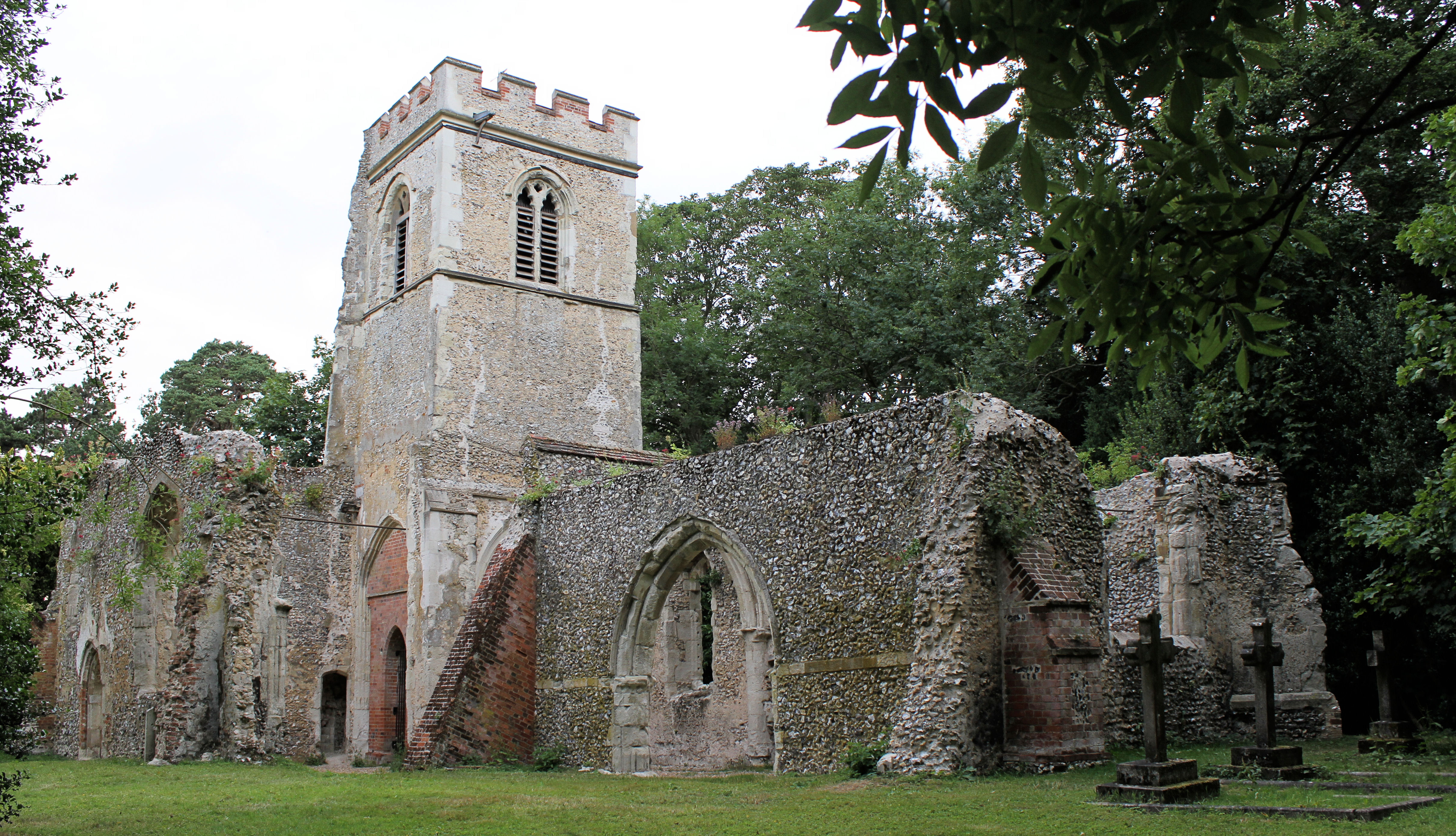
Old St Lawrence Church, Ayot St Lawrence

Old St Lawrence Church is a ruined building in Ayot St Lawrence, Hertfordshire, England. It is protected as a Grade II* listed building, and dates back...

Ayot St Lawrence

Ayot St Lawrence is a small English village and civil parish in Hertfordshire, two miles (three kilometres) west of Welwyn. There are several other Ayots...

Shaw's Corner

Shaw's Corner was the primary residence of the renowned Irish playwright George Bernard Shaw; it is now a National Trust property open to the public as...
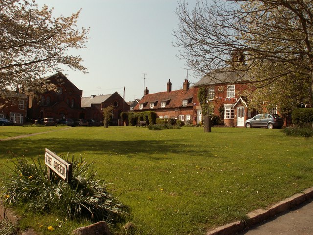
Codicote

Codicote ( KO-dih-kət) is a large village, and civil parish about seven miles (11 km) south of Hitchin in Hertfordshire, England. It has timber-framed...

Codicote F.C.

Codicote Football Club is a football club based in Codicote, near Hitchin, Hertfordshire, England. They are currently members of the Spartan South Midlands...

Nearby Amenities

Located within 500m of 51.854372,-0.26907712
Council Depot
Naptan AtcoCode: 210021101177
Naptan Bearing: NW
Naptan BusStopType: CUS
Naptan CommonName: Council Depot
Naptan Crossing: opp Sewage Works
Naptan Indicator: opp
Naptan Landmark: opp Sewage Works
Naptan NaptanCode: hrtgmamg
Naptan ShortCommonName: NA
Naptan Street: Kimpton Road
Naptan Verified: no
Source: naptan_import
Lat/Long: 51.8517026/-0.2735337
Council Depot
Naptan AtcoCode: 210021106985
Naptan Bearing: SE
Naptan BusStopType: CUS
Naptan CommonName: Council Depot
Naptan Crossing: Sewage Works
Naptan Indicator: o/s
Naptan Landmark: Sewage Works
Naptan NaptanCode: hrtgjgpj
Naptan ShortCommonName: NA
Naptan Street: Kimpton Road
Naptan Verified: no
Source: naptan_import
Lat/Long: 51.8517835/-0.2735306
Barrier: kissing_gate
Foot: yes
Lat/Long: 51.8520673/-0.270373
Bench
Source: gps
Lat/Long: 51.853959/-0.2687377
Note: This path appears to disappear into nowhere - the private garden appears to have no way out for the path.
Lat/Long: 51.852398/-0.2666096
Barrier: stile
Lat/Long: 51.8523698/-0.2666716
Power: pole
Lat/Long: 51.8532289/-0.2652396
Power: pole
Lat/Long: 51.8527592/-0.2642338
Power: pole
Lat/Long: 51.8524867/-0.2632226
The data included in this document is from www.openstreetmap.org. The data is made available under ODbL.

Have you been to Coronation Plantation?

Leave your review of Coronation Plantation below (or comments, questions and feedback).