High Wood
Wood, Forest in Sussex Horsham
England
High Wood

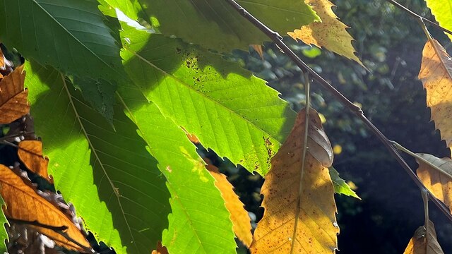
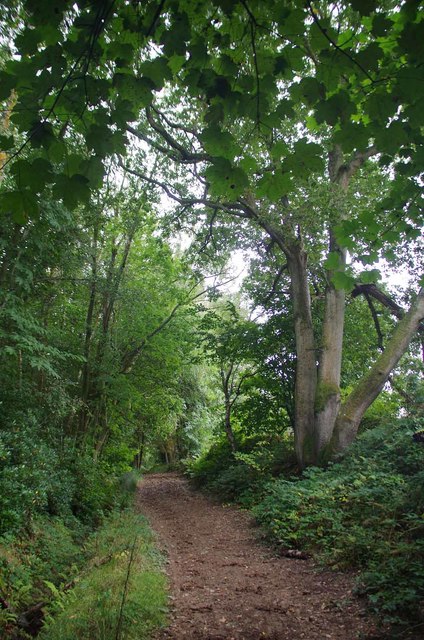
High Wood is a dense forest located in Sussex, England. Covering an area of approximately 100 acres, it is known for its rich biodiversity and scenic beauty. The wood is primarily composed of deciduous trees such as oak, beech, and birch, which create a lush green canopy throughout the year.
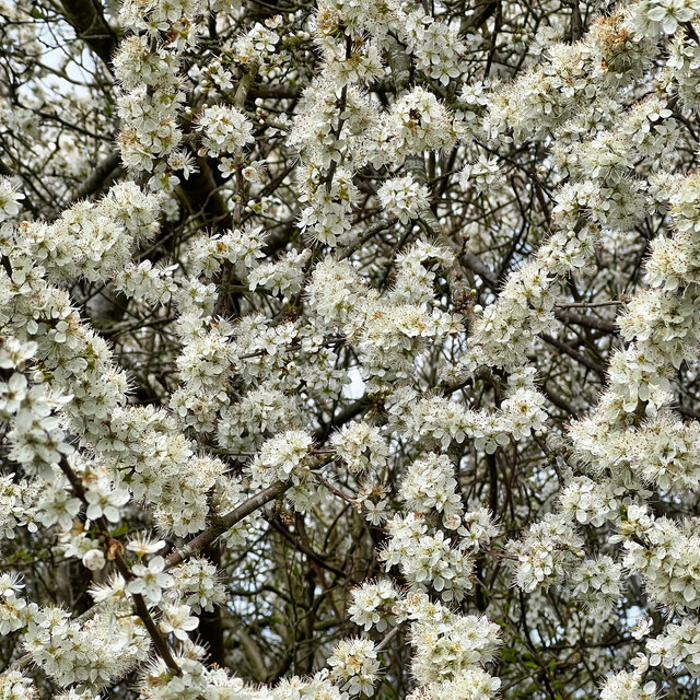
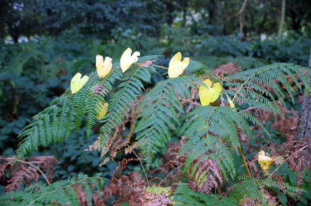
The forest floor is covered with a diverse range of flora, including wildflowers like bluebells, primroses, and wood anemones, which bloom in abundance during the spring months. The wood is also home to various species of ferns, mosses, and lichens, adding to its natural charm.
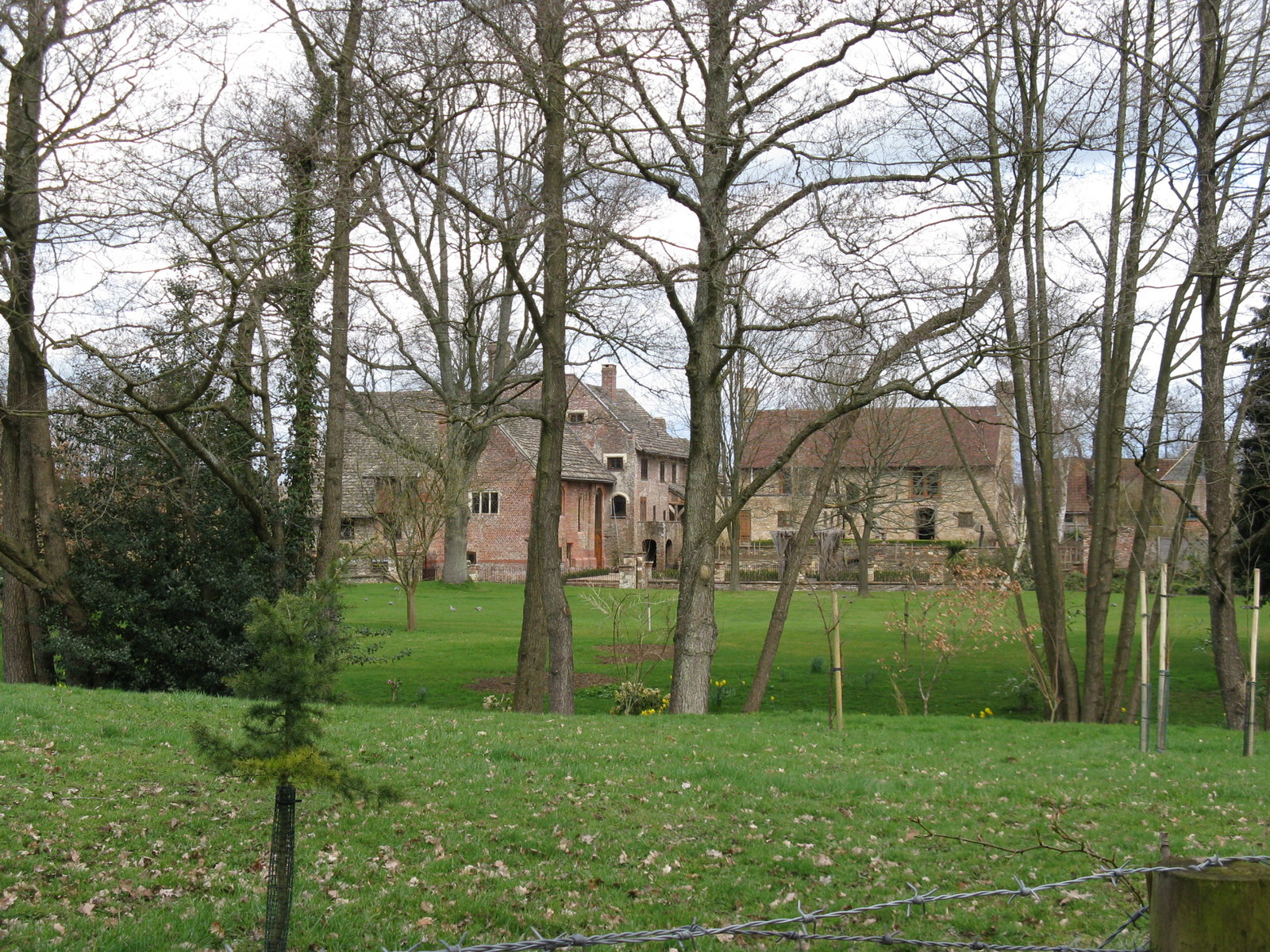
High Wood has a long history, dating back several centuries. It was once part of a larger royal hunting ground and has been mentioned in historical records since the 13th century. Over the years, the wood has been managed and preserved by local authorities to maintain its ecological balance and protect its wildlife.
The forest provides a habitat for numerous animal species, including deer, foxes, squirrels, and a variety of bird species. Birdwatchers flock to High Wood to catch a glimpse of rare and migratory birds that make the wood their home during different seasons.
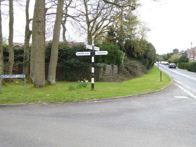
High Wood is a popular destination for nature enthusiasts, hikers, and photographers, offering picturesque walking trails, picnic spots, and stunning vistas. The serene ambiance and tranquil atmosphere make it an ideal place for relaxation and communing with nature.
Overall, High Wood is a natural treasure in Sussex, offering a peaceful retreat and showcasing the beauty and diversity of the English countryside.
If you have any feedback on the listing, please let us know in the comments section below.
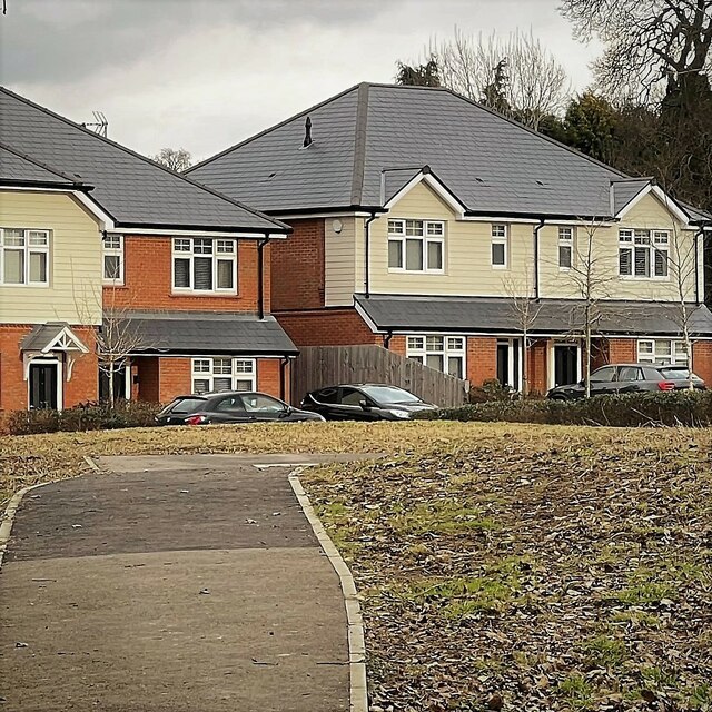
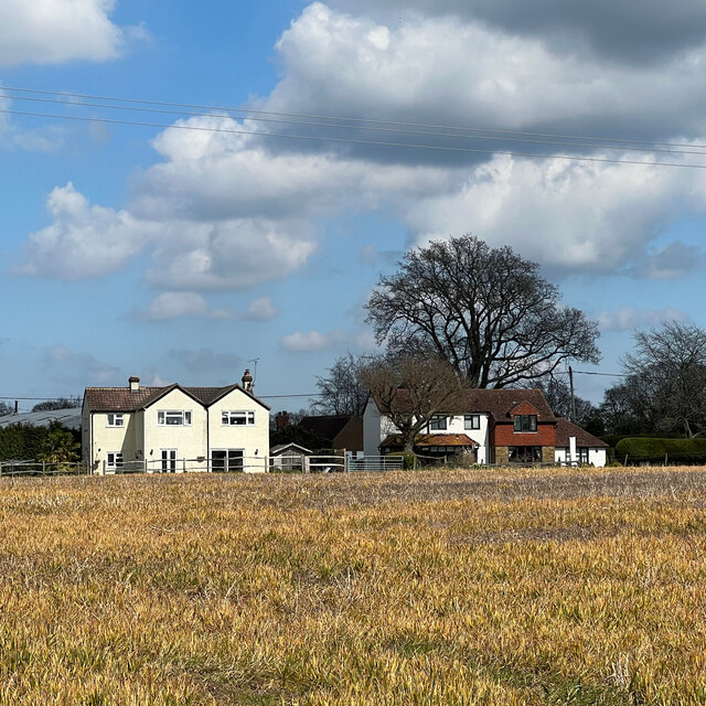
High Wood Images
Images are sourced within 2km of 51.039143/-0.299732 or Grid Reference TQ1928. Thanks to Geograph Open Source API. All images are credited.


High Wood is located at Grid Ref: TQ1928 (Lat: 51.039143, Lng: -0.299732)
Administrative County: West Sussex
District: Horsham
Police Authority: Sussex
What 3 Words
///invents.natural.prowl. Near Horsham, West Sussex
Nearby Locations
Related Wikis

Southwater & Nuthurst (electoral division)
Southwater & Nuthurst is an electoral division of West Sussex in the United Kingdom and returns one member to sit on West Sussex County Council. The current...

Monk's Gate
Monk's Gate is a hamlet in the civil parish of Nuthurst, in the Horsham District of West Sussex, England. It lies on the A281 road 3 miles (5 km) southeast...

Mannings Heath
Mannings Heath is a village in the civil parish of Nuthurst and the Horsham District of West Sussex, England. The village is on the A281 road, 2 miles...

Nuthurst
Nuthurst is a village and civil parish in the Horsham district of West Sussex, England. The north of the parish borders Horsham town, with Nuthurst village...
Chesworth House
Chesworth House is a former Tudor manor house, located a mile south of Horsham, West Sussex, England. The original Manor house became a farmhouse and has...

The Forest School, Horsham
The Forest School is a comprehensive secondary school in Horsham, West Sussex, England. It educates students between the ages of 11 and 16 and is a specialist...

Horsham Riverside (electoral division)
Horsham Riverside is an electoral division of West Sussex in the United Kingdom and returns one member to sit on West Sussex County Council. == Extent... ==

Mannings Heath Golf & Wine Estate
Mannings Heath Golf & Wine Estate is located in Mannings Heath, Horsham in the south of England. The 500 acre parkland site includes two golf courses and...
Nearby Amenities
Located within 500m of 51.039143,-0.299732Have you been to High Wood?
Leave your review of High Wood below (or comments, questions and feedback).