Moon Wood

Wood, Forest in Sussex Horsham

England

Moon Wood

Looking south on Burnthouse Lane to the A272 The post box has been changed since <a title="https://www.geograph.org.uk/photo/2936974" href="https://www.geograph.org.uk/photo/2936974">Link</a>.
Looking south on Burnthouse Lane to the A272 Credit: Shazz

Moon Wood is a picturesque forest located in Sussex, England. Covering an area of approximately 100 acres, this woodland is known for its enchanting beauty and serene atmosphere. It is situated in the heart of the South Downs National Park, making it a popular destination for nature lovers and outdoor enthusiasts.

The wood is named after the stunning lunar-like appearance it takes on during the full moon, when the silver light filters through the dense canopy of trees, casting an ethereal glow on the forest floor. This unique phenomenon has attracted visitors from far and wide, who come to witness the magical sight and capture it on film.

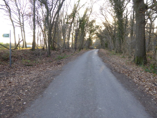
The woodland is home to a diverse range of flora and fauna, providing a habitat for numerous species of birds, insects, and mammals. Ancient oak and beech trees dominate the landscape, their towering branches creating a shady and tranquil environment. The forest floor is adorned with a carpet of wildflowers, adding bursts of color to the green surroundings.

Visitors to Moon Wood can enjoy a range of activities, including walking, hiking, and birdwatching. There are several well-marked trails that wind through the forest, offering stunning views and opportunities for wildlife spotting. The peaceful ambiance of the wood also makes it an ideal location for meditation and relaxation.

Moon Wood is a true gem of Sussex, offering a sanctuary of natural beauty and a chance to reconnect with the wonders of the natural world. Whether exploring its trails, capturing its mystical moonlit charm, or simply enjoying its tranquility, this woodland is a must-visit destination for nature enthusiasts.

If you have any feedback on the listing, please let us know in the comments section below.
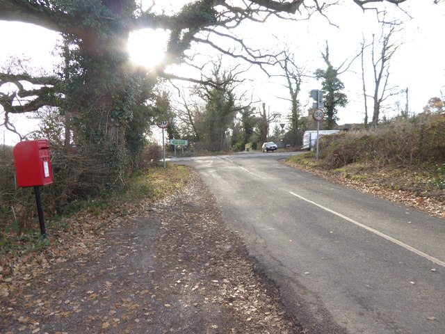
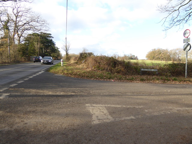
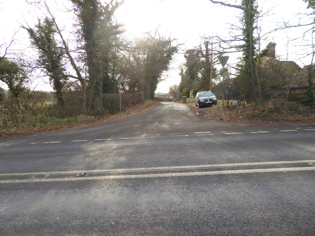
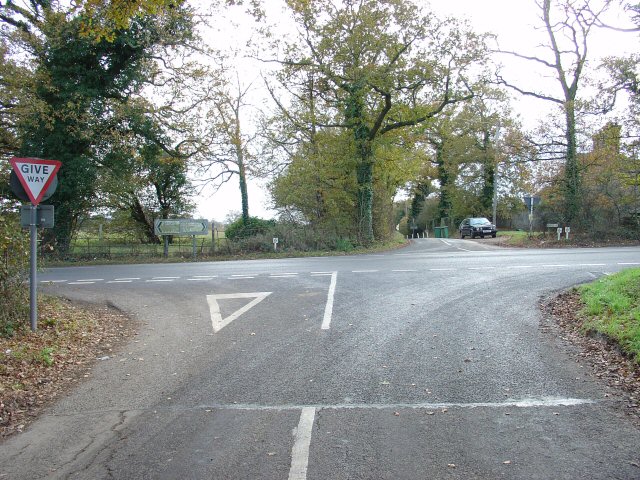
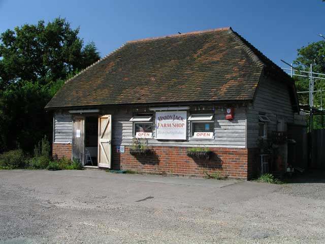
Moon Wood Images

Images are sourced within 2km of 50.983984/-0.30558036 or Grid Reference TQ1921. Thanks to Geograph Open Source API. All images are credited.

Looking south on Burnthouse Lane to the A272 The post box has been changed since <a title="https://www.geograph.org.uk/photo/2936974" href="https://www.geograph.org.uk/photo/2936974">Link</a>.
Looking south on Burnthouse Lane to the A272
The post box has been changed since Link.
The southern end of Burnthouse Lane The main road is the A272 known here as Station Road.  (There's no station any more.)
The southern end of Burnthouse Lane
The main road is the A272 known here as Station Road. (There's no station any more.)
Looking into Stonehouse Lane
Looking south on Burnthouse Lane
A272 at Capons Farm The A272 is a very rural A road, which follows an east to west route from near Heathfield to Winchester, passing through the Sussex countryside. It runs 86 miles from Sutton Scotney to Five Ashes <a href="https://www.geograph.org.uk/photo/6669405">TQ5523 : A267, A272 junction</a>.
<span class="nowrap"><a title="http://www.sabre-roads.org.uk/wiki/index.php?title=A272" rel="nofollow ugc noopener" href="http://www.sabre-roads.org.uk/wiki/index.php?title=A272">Link</a><img style="margin-left:2px;" alt="External link" title="External link - shift click to open in new window" src="https://s1.geograph.org.uk/img/external.png" width="10" height="10"/></span> 
Wikipedia: <span class="nowrap"><a title="http://en.wikipedia.org/wiki/A272_road" rel="nofollow ugc noopener" href="http://en.wikipedia.org/wiki/A272_road">Link</a><img style="margin-left:2px;" alt="External link" title="External link - shift click to open in new window" src="https://s1.geograph.org.uk/img/external.png" width="10" height="10"/></span>
A272 at Capons Farm
The A272 is a very rural A road, which follows an east to west route from near Heathfield to Winchester, passing through the Sussex countryside. It runs 86 miles from Sutton Scotney to Five Ashes TQ5523 : A267, A272 junction. LinkExternal link Wikipedia: LinkExternal link
Looking south on the A281 past footpath crossing See also <a title="https://www.geograph.org.uk/photo/3228295" href="https://www.geograph.org.uk/photo/3228295">Link</a>.
Looking south on the A281 past footpath crossing
See also Link.
Footpath goes west from the A281
The Chalet Transport Café on the A281 The sign says "OPEN 7 DAYS".  Since it was shut I had a choice of seating for my packed lunch.
The Chalet Transport Café on the A281
The sign says "OPEN 7 DAYS". Since it was shut I had a choice of seating for my packed lunch.
A272 heading east Entering Cowfold.
A272 heading east
Entering Cowfold.
St Hugh's Charterhouse monastery This is a cross-grid shot. The camera was 4.4 km to the south, in TQ1916.
St Hugh's Charterhouse monastery
This is a cross-grid shot. The camera was 4.4 km to the south, in TQ1916.
Apple Trees Apple trees at Trenchmore Farm used for making cider.
Apple Trees
Apple trees at Trenchmore Farm used for making cider.
St Hugh's Charterhouse monastery This place has huge footprint on the OS map, yet I understand that only about 25 monks live here. The spire is visible from miles away on the Downs, yet you could easily drive down the nearby A281 without even spotting it.
St Hugh's Charterhouse monastery
This place has huge footprint on the OS map, yet I understand that only about 25 monks live here. The spire is visible from miles away on the Downs, yet you could easily drive down the nearby A281 without even spotting it.
Peartree Corner: Junction of A272 and Burnthouse Lane, West Sussex. Near to The Clock House <a href="https://www.geograph.org.uk/gridref/TQ1922">TQ1922</a>. Burnthouse lane (behind the photographer) leads N from this crossroads.
Peartree Corner: Junction of A272 and Burnthouse Lane, West Sussex.
Near to The Clock House TQ1922. Burnthouse lane (behind the photographer) leads N from this crossroads.
Roadsigns at Peartree Corner Direction signs for the E-W A272.
Roadsigns at Peartree Corner
Direction signs for the E-W A272.
Union Jack Farm Shop, Cowfold On the A281 next to Singers farm and Bridleway 1758.
Union Jack Farm Shop, Cowfold
On the A281 next to Singers farm and Bridleway 1758.
Bridleway 1758 from A281 near Singers Farm Next to <a href="https://www.geograph.org.uk/photo/244872">TQ2021 : Union Jack Farm Shop, Cowfold</a> this bridleway runs down Pound Lane bordering Singers Farm.
Bridleway 1758 from A281 near Singers Farm
Next to TQ2021 : Union Jack Farm Shop, Cowfold this bridleway runs down Pound Lane bordering Singers Farm.
Entrance to Chates Farm, Cowfold Seen from Dragons Lane on the A281. Footpath 1787 runs through this gate and passes to the left of the barn with the caravan.
Entrance to Chates Farm, Cowfold
Seen from Dragons Lane on the A281. Footpath 1787 runs through this gate and passes to the left of the barn with the caravan.
Bridleway 1730 running down Dragons Lane Seen from <a href="https://www.geograph.org.uk/photo/245502">TQ2021 : Entrance to Chates Farm, Cowfold</a> leading to <a href="https://www.geograph.org.uk/photo/244877">TQ2121 : Buildings on Dragons Farm</a>
Bridleway 1730 running down Dragons Lane
Show me another place!

Moon Wood is located at Grid Ref: TQ1921 (Lat: 50.983984, Lng: -0.30558036)

Administrative County: West Sussex

District: Horsham

Police Authority: Sussex

What 3 Words

///cavalier.shelved.fastening. Near Cowfold, West Sussex

Related Wikis

West Grinstead railway station

West Grinstead was a railway station on the Steyning Line which served the village of West Grinstead. It had a goods yard with a cattle loading bay and...

Shrine of Our Lady of Consolation

The Church of Our Lady of Consolation and St Francis is a Roman Catholic parish church in West Grinstead, in West Sussex. It was built from 1875 to 1876...

Littleworth, West Sussex

Littleworth is a hamlet in the Horsham District of West Sussex, England. It lies on the Partridge Green to Maplehurst road 2.9 miles (4.7 km) north of...

St Hugh's Charterhouse

St Hugh's Charterhouse, Parkminster, is the only post-Reformation Carthusian monastery in the United Kingdom. It is located in the parish of Cowfold, West...

Nearby Amenities

Located within 500m of 50.983984,-0.30558036
Barrier: kissing_gate
Lat/Long: 50.9844332/-0.3077727
Barrier: kissing_gate
Lat/Long: 50.9840589/-0.3034626
Barrier: kissing_gate
Lat/Long: 50.9842893/-0.3095984
Power: pole
Lat/Long: 50.9879174/-0.3059971
Power: pole
Lat/Long: 50.9871221/-0.3048116
Power: pole
Lat/Long: 50.9863286/-0.3035563
Power: pole
Lat/Long: 50.98592/-0.3020865
Power: pole
Lat/Long: 50.98799/-0.3058925
Power: pole
Lat/Long: 50.9871964/-0.3046829
Power: pole
Lat/Long: 50.9864316/-0.3034973
Power: pole
Lat/Long: 50.986023/-0.3020972
Power: pole
Lat/Long: 50.9856329/-0.3006756
Power: pole
Lat/Long: 50.9855434/-0.3007427
Danefold Corner
Place: locality
Lat/Long: 50.9841047/-0.2996263
Power: pole
Lat/Long: 50.9822727/-0.2998629
Power: pole
Lat/Long: 50.9820582/-0.2993238
Barrier: kissing_gate
Lat/Long: 50.98181/-0.3087159
Barrier: stile
Lat/Long: 50.9805645/-0.3096567
Barrier: kissing_gate
Lat/Long: 50.9801359/-0.308566
Danefold House
Place: isolated_dwelling
Lat/Long: 50.9844656/-0.3027719
Fountain
Lat/Long: 50.9842612/-0.3028188
The data included in this document is from www.openstreetmap.org. The data is made available under ODbL.

Have you been to Moon Wood?

Leave your review of Moon Wood below (or comments, questions and feedback).