Brookfield Copse

Wood, Forest in Surrey Mole Valley

England

Brookfield Copse

Bridge at Ewood Lane
Bridge at Ewood Lane Credit: James Insell

Brookfield Copse is a picturesque woodland located in Surrey, England. Covering an area of approximately 50 acres, it is known for its diverse range of flora and fauna, making it a haven for nature enthusiasts and wildlife lovers alike.

The copse is predominantly composed of deciduous trees, including oak, beech, and birch, which form a dense canopy overhead, providing shade and shelter for the forest floor below. Walking through the copse, visitors are greeted by a carpet of wildflowers and ferns, adding to its enchanting atmosphere.

Due to its proximity to water sources, the copse boasts a thriving ecosystem. Various species of birds, such as woodpeckers, owls, and thrushes, can be spotted nestled among the trees. Additionally, small mammals like squirrels and rabbits can be seen scurrying about, while occasional sightings of deer are not uncommon.

Brookfield Copse offers several walking trails that meander through its enchanting landscape, allowing visitors to immerse themselves in the beauty of nature. These trails are well-maintained and offer accessible routes for all ages and abilities.

The copse is a popular destination for nature walks, picnics, and photography. It provides a peaceful and tranquil escape from the bustling city life, allowing visitors to reconnect with nature, relax, and unwind.

Overall, Brookfield Copse is a remarkable woodland that showcases the natural beauty of Surrey. Its rich biodiversity, scenic trails, and serene ambiance make it a must-visit destination for anyone seeking a rejuvenating experience in the heart of nature.

If you have any feedback on the listing, please let us know in the comments section below.

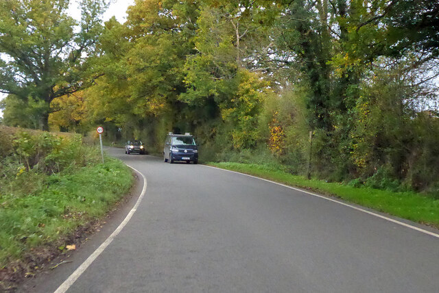
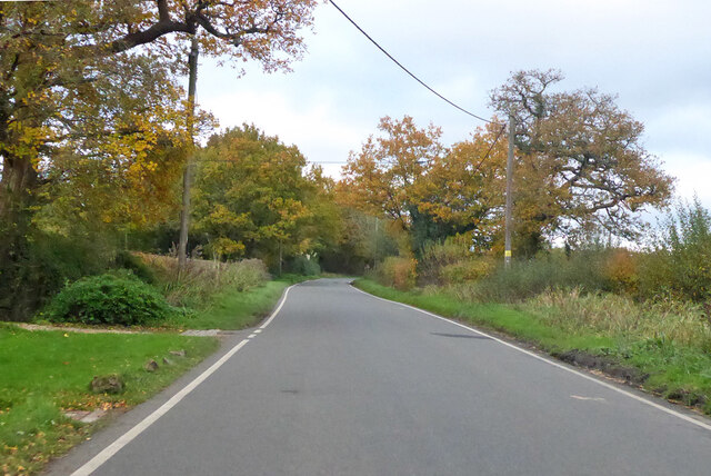
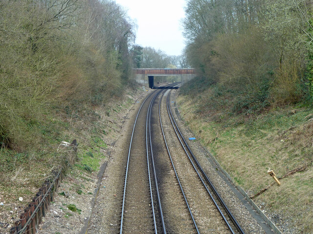
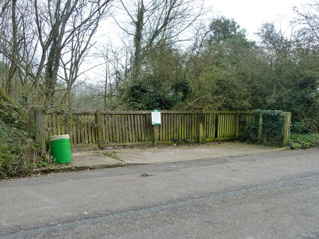
Brookfield Copse Images

Images are sourced within 2km of 51.193245/-0.30092146 or Grid Reference TQ1845. Thanks to Geograph Open Source API. All images are credited.

Bridge at Ewood Lane
Pond bay at Ewood, near Newdigate, Surrey Ewood was one of the main centres for ironmaking in the 15th century. The works were water-powered, driven by a pond which is thought to have been 200 acres in size. The pond bay (or dam) can still be seen behind a cottage on Ewood Lane.
Pond bay at Ewood, near Newdigate, Surrey
Ewood was one of the main centres for ironmaking in the 15th century. The works were water-powered, driven by a pond which is thought to have been 200 acres in size. The pond bay (or dam) can still be seen behind a cottage on Ewood Lane.
Shellwood Manor Farm Mention of the Manor of Shellwood goes back to at least the 12th century.
Shellwood Manor Farm
Mention of the Manor of Shellwood goes back to at least the 12th century.
Agricultural heap of what? Looking like cat litter or unweathered blue clay, this large heap is probably neither.
Agricultural heap of what?
Looking like cat litter or unweathered blue clay, this large heap is probably neither.
Ordnance Survey Trig Pillar S3279 This Pillar can be found in a paddock near Shellwood Manor.
Ordnance Survey Trig Pillar S3279
This Pillar can be found in a paddock near Shellwood Manor.
Ewood Lane Lane leading to Ewood Farm.
Ewood Lane
Lane leading to Ewood Farm.
Henfold Lane North towards Dorking.
Henfold Lane
North towards Dorking.
Henfold Lane North towards Dorking.
Henfold Lane
North towards Dorking.
Railway north from Holmwood station Looking from the Old Horsham Road bridge to the A24 Horsham Road bridge. Milepost 27 on the right - the datum seems to be Waterloo, although no trains are routed from there now.
Railway north from Holmwood station
Looking from the Old Horsham Road bridge to the A24 Horsham Road bridge. Milepost 27 on the right - the datum seems to be Waterloo, although no trains are routed from there now.
Former recycling bay, Old Horsham Road Presumably this once had assorted skips lined up. The sign asks people not to leave bottles etc. here, remarkably it has been complied with.
Former recycling bay, Old Horsham Road
Presumably this once had assorted skips lined up. The sign asks people not to leave bottles etc. here, remarkably it has been complied with.
Public footpath 266, Holmwood From Betchets Green to Warwick Road, South Holmwood.
Public footpath 266, Holmwood
From Betchets Green to Warwick Road, South Holmwood.
Public footpath 266, Holmwood From Betchets Green to Warwick Road, South Holmwood.
Public footpath 266, Holmwood
From Betchets Green to Warwick Road, South Holmwood.
North end of public footpath 266, Holmwood At Warwick Close.
North end of public footpath 266, Holmwood
At Warwick Close.
Broadwood's Rough The wood across the field is part of extensive woodland here.
Broadwood's Rough
The wood across the field is part of extensive woodland here.
Looking across bridleway 581, Capel The more geometric trees are in the grounds of Derry Stud.
Looking across bridleway 581, Capel
The more geometric trees are in the grounds of Derry Stud.
Holmwood Common, near Holmwood Corner, South Holmwood, Surrey - Mixed Broadleaf Woodland With Extensive Undergrowth Holmwood Common is woodland on clay. The area proved relatively difficult to cultivate otherwise, and so was left to grow native species in earlier centuries. After industrialisation, part of the area was used to extract clay for a brickworks on the site, but all signs of that have now gone. The picture shows the typical nature of the woodland on the common. This was taken at the start of an orienteering event.
Holmwood Common, near Holmwood Corner, South Holmwood, Surrey - Mixed Broadleaf Woodland With Extensive Undergrowth
Holmwood Common is woodland on clay. The area proved relatively difficult to cultivate otherwise, and so was left to grow native species in earlier centuries. After industrialisation, part of the area was used to extract clay for a brickworks on the site, but all signs of that have now gone. The picture shows the typical nature of the woodland on the common. This was taken at the start of an orienteering event.
Tree lined bridleway near Ewood Farm
Oak tree in corn field
Show me another place!

Brookfield Copse is located at Grid Ref: TQ1845 (Lat: 51.193245, Lng: -0.30092146)

Administrative County: Surrey

District: Mole Valley

Police Authority: Surrey

What 3 Words

///drew.jump.alert. Near Holmwood, Surrey

Related Wikis

Wotton Hundred

The Hundred of Wotton, Wotton Hundred or Dorking Hundred was a hundred in Surrey, England. The hundred comprised a south-central portion of the county...

South Holmwood

South Holmwood () is a semi-rural village in Surrey, England. It can be considered cognate with its wider civil parish, which stretches to the east to...

Holmwood railway station

Holmwood railway station serves the villages of Beare Green and South Holmwood in Surrey, England, on the Sutton and Mole Valley Lines between Dorking...

Newdigate

Newdigate is a village and civil parish in the Mole Valley borough of Surrey lying in a relatively flat part of the Weald to the east of the A24 road between...

Inholms Clay Pit

Inholms Clay Pit is a 8.4-hectare (21-acre) Local Nature Reserve south of Dorking in Surrey. It is owned by Mole Valley District Council and from 2009...

A24 road (England)

The A24 is a major road in England that runs for 53.2 miles (85.6 km) from Clapham in south-west London to Worthing on the English Channel in West Sussex...

North Holmwood

North Holmwood is a residential area on the outskirts of Dorking, in Surrey, England. The village is accessible from the A24, the village's historic heart...

Newdigate Brickworks

Newdigate Brickworks is a 24-hectare (59-acre) nature reserve in Newdigate in Surrey. It is managed by the Surrey Wildlife Trust.The clay pits of this...

Nearby Amenities

Located within 500m of 51.193245,-0.30092146
Source: Landsat photo
Lat/Long: 51.1900121/-0.3052039
Source: Landsat photo
Lat/Long: 51.1911861/-0.303463
Source: Landsat photo
Lat/Long: 51.1930643/-0.3010112
Source: Landsat photo
Lat/Long: 51.1953726/-0.2989106
Source: Landsat photo
Lat/Long: 51.1961849/-0.2983668
Post Box
Ref: RH5 25
Source: Photo P143-0531
Lat/Long: 51.1949763/-0.3070475
Barrier: stile
Lat/Long: 51.193807/-0.2997653
Barrier: stile
Lat/Long: 51.1910477/-0.2997732
Barrier: stile
Lat/Long: 51.1899987/-0.3002437
Barrier: stile
Lat/Long: 51.1889173/-0.3005694
Barrier: stile
Lat/Long: 51.1942606/-0.2994618
Give Way
Direction: forward
Lat/Long: 51.1949799/-0.3073427
Passing Place
Lat/Long: 51.1960844/-0.3040621
Give Way
Direction: backward
Lat/Long: 51.1952298/-0.3070498
Give Way
Direction: backward
Lat/Long: 51.1951675/-0.3070396
Shop: tyres
Lat/Long: 51.1963759/-0.3001026
Wymbleton Farm
Place: farm
Lat/Long: 51.1941884/-0.3058635
Posterns Farm
Place: isolated_dwelling
Lat/Long: 51.1910506/-0.3063106
Posterns
Place: isolated_dwelling
Lat/Long: 51.1921544/-0.3065788
Oakfield Farm
Place: isolated_dwelling
Lat/Long: 51.189504/-0.3047459
Hawesrew Farm
Place: farm
Lat/Long: 51.1959701/-0.3013127
Lodge Farm
Place: farm
Lat/Long: 51.1968441/-0.2992027
The data included in this document is from www.openstreetmap.org. The data is made available under ODbL.

Have you been to Brookfield Copse?

Leave your review of Brookfield Copse below (or comments, questions and feedback).