Betchworth Park
Wood, Forest in Surrey Mole Valley
England
Betchworth Park

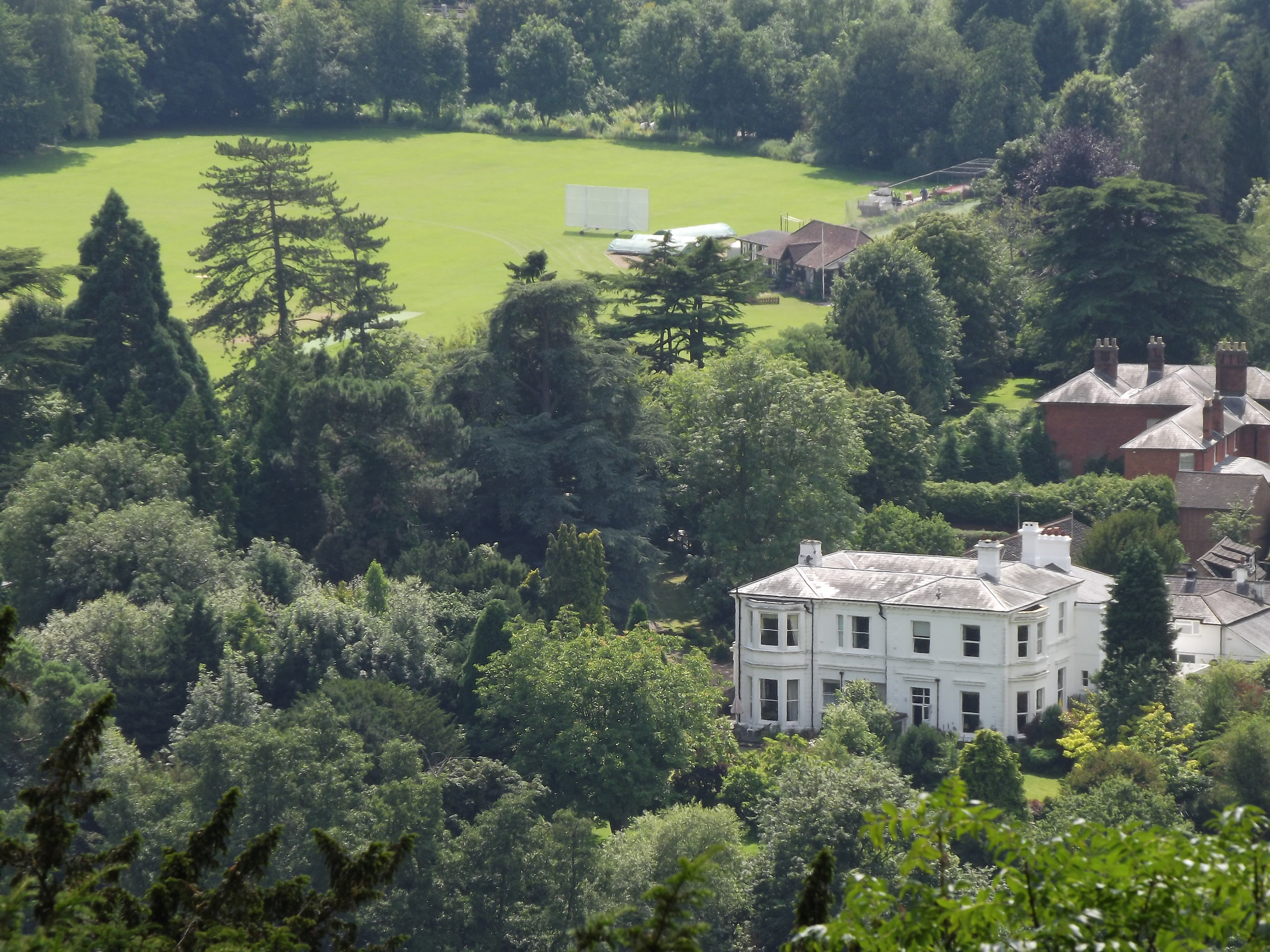
Betchworth Park is a picturesque woodland area located in Surrey, England. Situated near the village of Betchworth, this park encompasses a vast expanse of dense forest and lush greenery. Covering an area of approximately 400 acres, Betchworth Park offers visitors the opportunity to immerse themselves in the natural beauty of the Surrey Hills Area of Outstanding Natural Beauty.
The park is home to a diverse range of flora and fauna, with towering trees such as oak, beech, and chestnut dominating the landscape. These ancient woodlands provide a haven for various wildlife species, including deer, badgers, and a plethora of bird species, making it an ideal spot for nature enthusiasts and birdwatchers.
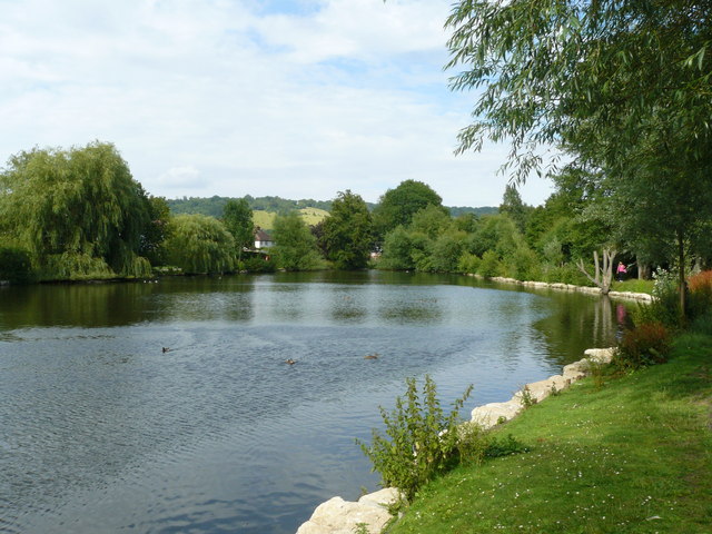
Winding through the park is the River Mole, which adds to the park's charm and serenity. Visitors can take leisurely walks along the riverbank, enjoying the peaceful sounds of flowing water and the tranquil atmosphere. The park also offers several walking trails, allowing visitors to explore its hidden gems and discover secluded spots perfect for a picnic or a moment of solitude.
Betchworth Park's historical significance adds an extra layer of interest to its natural beauty. The park is home to the ruins of Betchworth Castle, a medieval fortress that dates back to the 11th century. The castle's remnants provide a glimpse into the area's rich history, and visitors can explore the ruins and learn about its past.
Overall, Betchworth Park in Surrey is a captivating woodland area that offers a harmonious blend of natural beauty, wildlife, and historical charm. Whether you are seeking a peaceful walk in nature, a chance to spot wildlife, or an opportunity to delve into the area's history, Betchworth Park is a must-visit destination for nature lovers and history enthusiasts alike.
If you have any feedback on the listing, please let us know in the comments section below.
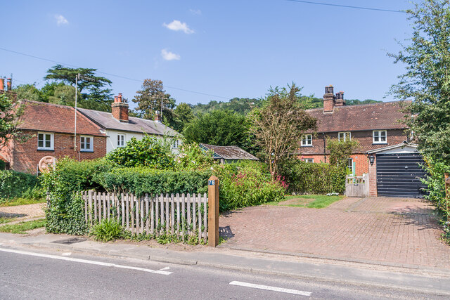
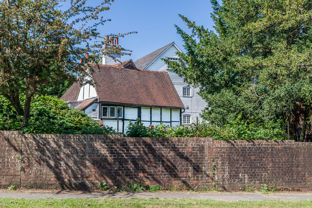
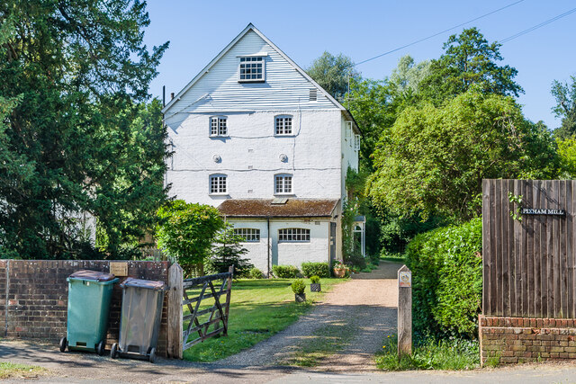
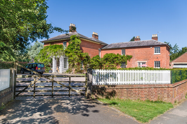
Betchworth Park Images
Images are sourced within 2km of 51.235907/-0.30278835 or Grid Reference TQ1849. Thanks to Geograph Open Source API. All images are credited.


Betchworth Park is located at Grid Ref: TQ1849 (Lat: 51.235907, Lng: -0.30278835)
Administrative County: Surrey
District: Mole Valley
Police Authority: Surrey
What 3 Words
///status.slams.little. Near Dorking, Surrey
Nearby Locations
Related Wikis
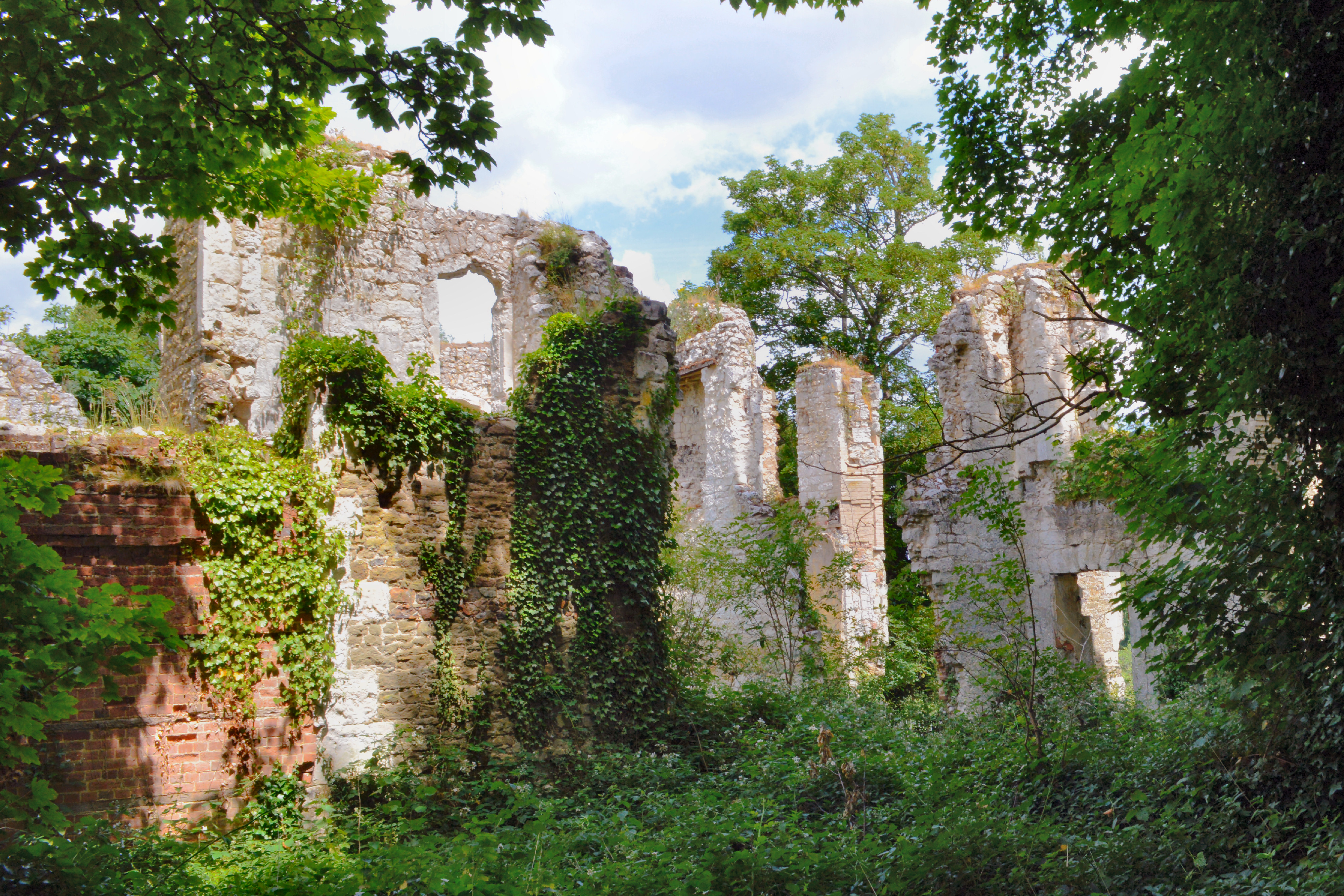
Betchworth Castle
Betchworth Castle is a mostly crumbled ruin of a fortified medieval stone house with some tall, two-storey corners strengthened in the 18th century, in...

Brockham
Brockham is a village and civil parish in the Mole Valley district of Surrey, England. It is approximately 1.5 miles (2.4 km) east of Dorking and 4 miles...
Pixham
Pixham is a chapelry (small village) within the parish of Dorking, Surrey on the near side of the confluence of the River Mole and the Pipp Brook to its...

Deepdene Terrace
Deepdene Terrace is a 4-hectare (9.9-acre) nature reserve south-east of Dorking in Surrey. It is owned by Mole Valley District Council and managed by...
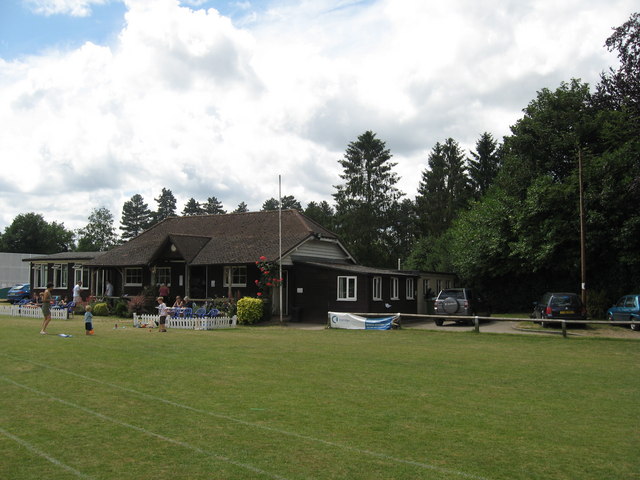
Dorking Cricket Club Ground
Dorking Cricket Club Ground is a cricket ground in Dorking, Surrey. The first recorded match on the ground was in 1993, when the ground hosted a single...

Dorking Cockerel
The Dorking Cockerel is a sculpture on Deepdene roundabout in Dorking, Surrey, England. It depicts a male Dorking chicken, which were historically an...
Pipp Brook
The Pipp Brook is a left-bank tributary of the River Mole, Surrey, England. It rises at two main springs north of Leith Hill on the Greensand Ridge, then...
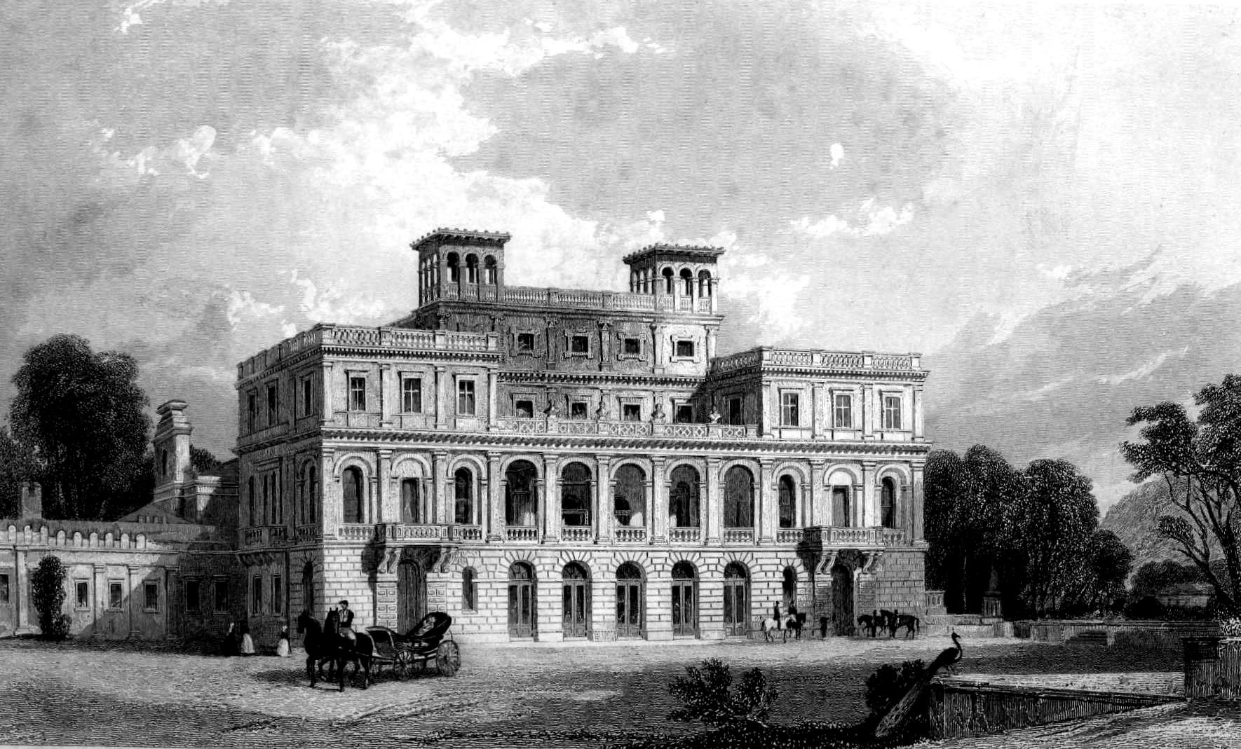
Deepdene House and Gardens
Deepdene was an estate and country house occupying land to the southeast of Dorking, Surrey, England. The remains of the gardens are Grade II* listed with...
Nearby Amenities
Located within 500m of 51.235907,-0.30278835Have you been to Betchworth Park?
Leave your review of Betchworth Park below (or comments, questions and feedback).