Cooper's Wood

Wood, Forest in Hertfordshire St. Albans

England

Cooper's Wood

Rolling farmland Farmland occupies most of the western half of TL1804, partially rape fields, but also a children's open farm called Willow's Farm
Rolling farmland Credit: Mike Hartley

Cooper's Wood is a picturesque woodland located in Hertfordshire, England. Covering an area of approximately 50 acres, it is well-known for its natural beauty and diverse range of flora and fauna. The wood is situated near the town of Hertford and is easily accessible to visitors.

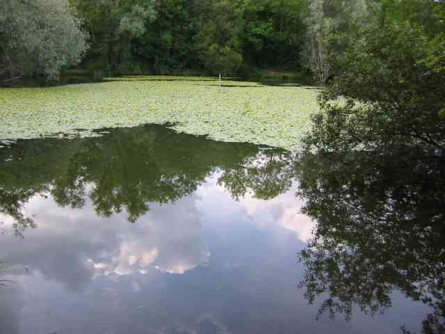
The wood features a mix of mature trees, including oak, beech, and birch, which create a dense canopy, providing shelter and habitats for various wildlife species. Walking through the wood, visitors can enjoy the tranquil atmosphere and the pleasant scent of the surrounding vegetation.

Cooper's Wood is home to a rich variety of wildlife, making it a popular spot for nature enthusiasts. Numerous bird species can be spotted here, such as woodpeckers, owls, and thrushes. Small mammals like foxes, badgers, and squirrels can also be observed, while reptiles like slow worms and common lizards may be encountered in the sunlit clearings.

The wood is crisscrossed by well-maintained footpaths and trails, allowing visitors to explore its beauty at their own pace. Additionally, there are designated picnic areas where visitors can relax and enjoy the peaceful surroundings.

Cooper's Wood is managed and maintained by the local authorities to preserve its natural state. The woodland is open to the public throughout the year, and admission is free. It serves as a wonderful escape from the hustle and bustle of daily life, providing a serene environment for relaxation, recreational activities, and nature appreciation.

If you have any feedback on the listing, please let us know in the comments section below.

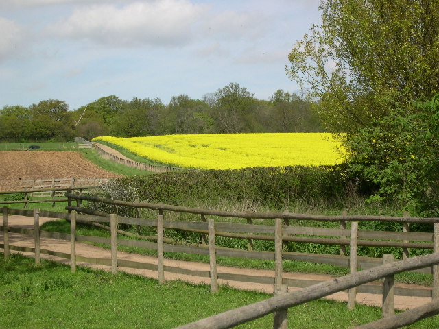
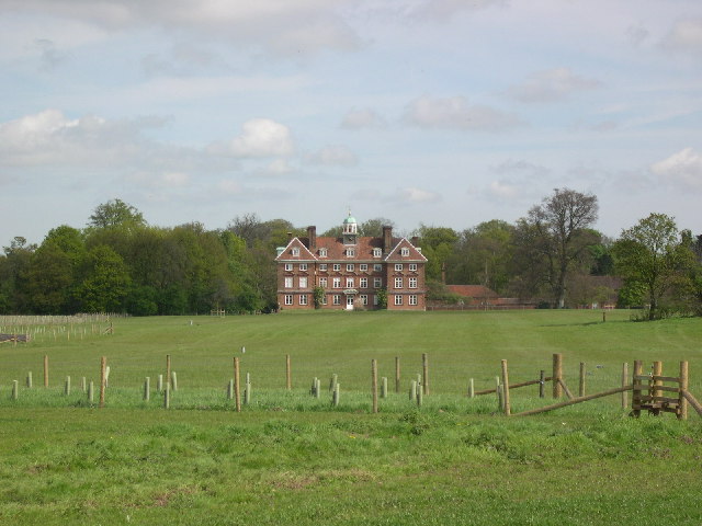
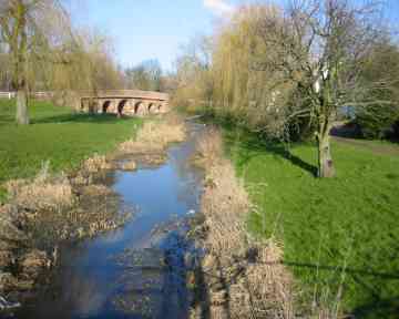
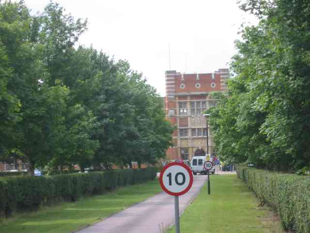
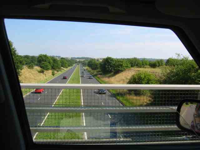
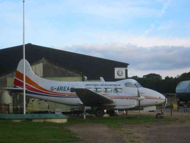
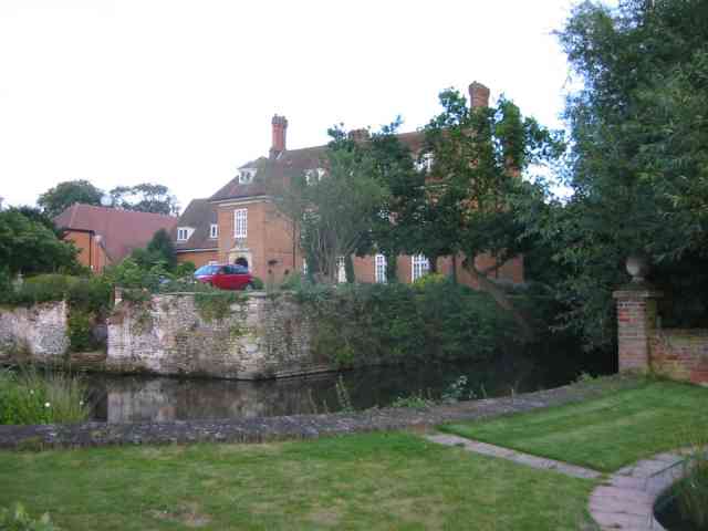
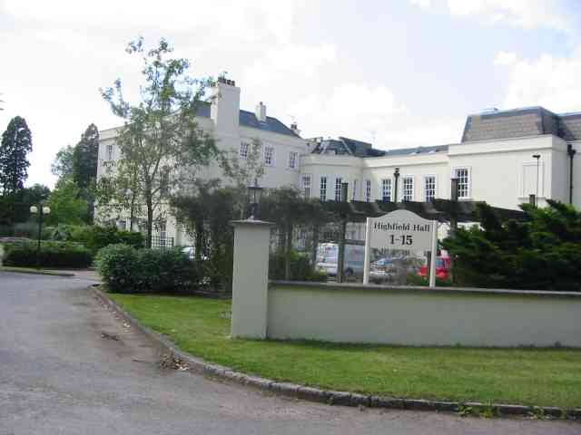
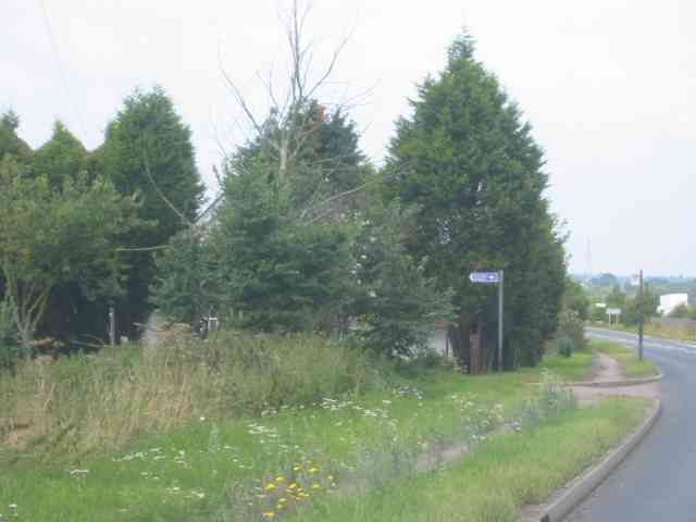
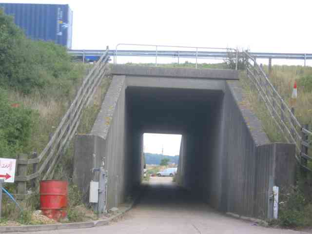
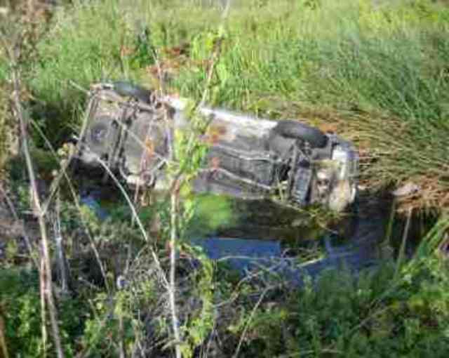
Cooper's Wood Images

Images are sourced within 2km of 51.719566/-0.2863762 or Grid Reference TL1803. Thanks to Geograph Open Source API. All images are credited.

Rolling farmland Farmland occupies most of the western half of TL1804, partially rape fields, but also a children's open farm called Willow's Farm
Rolling farmland
Farmland occupies most of the western half of TL1804, partially rape fields, but also a children's open farm called Willow's Farm
Tyttenhanger House This grade 1 listed building, now converted to offices, sits in Tyttenhanger Park, which occupied most of the square
Tyttenhanger House
This grade 1 listed building, now converted to offices, sits in Tyttenhanger Park, which occupied most of the square
Bowmans Lakes This is one of several lakes used for wash water by Lafarge Sand and Gravel. It is a haven for water birds and fishermen
Bowmans Lakes
This is one of several lakes used for wash water by Lafarge Sand and Gravel. It is a haven for water birds and fishermen
Road Bridge at London Colney Three years ago this area was flooded and much damage was caused to buildings.
Road Bridge at London Colney
Three years ago this area was flooded and much damage was caused to buildings.
Pastoral Centre  Broad Colney The complex was once a convent, built in 1899 for an Anglican order. It was sold to the Roman Catholic Diocese of Westminster in the mid-1970s and became a Retreat/Conference/Training Centre with residential accommodation.
Pastoral Centre Broad Colney
The complex was once a convent, built in 1899 for an Anglican order. It was sold to the Roman Catholic Diocese of Westminster in the mid-1970s and became a Retreat/Conference/Training Centre with residential accommodation.
London Colney Bypass  A1081 What a difference a bypass can make to a town
London Colney Bypass A1081
What a difference a bypass can make to a town
De Havilland aircraft museum Hertfordshire. The wooden framed Mosquito was built at this factory so the museum has a heritage status.
De Havilland aircraft museum Hertfordshire.
The wooden framed Mosquito was built at this factory so the museum has a heritage status.
Salisbury Hall with moat.   near Ridgehill Herts The hall and moat are visible on the map but not the museum.  The building is now converted into apartments.
Salisbury Hall with moat. near Ridgehill Herts
The hall and moat are visible on the map but not the museum. The building is now converted into apartments.
Highfield Hall at Tyttenhanger  St Albans The premises are now refurbished as upmarket apartments
Highfield Hall at Tyttenhanger St Albans
The premises are now refurbished as upmarket apartments
Entrance to Salisbury Hall and the Mosquito Museum The house hidden behind the trees was probably the lodge. Despite being a B road this road has a fairly heavy flow.
Entrance to Salisbury Hall and the Mosquito Museum
The house hidden behind the trees was probably the lodge. Despite being a B road this road has a fairly heavy flow.
Tunnel under the M25  opposite Access to Salisbury Hall This photo illustrates the large amount of filling required to keep the gradient to a reasonable angle.
Tunnel under the M25 opposite Access to Salisbury Hall
This photo illustrates the large amount of filling required to keep the gradient to a reasonable angle.
Van in the River Colne This section of the River Colne is a kilometre from a highway but via a locked farm gate and farmtrack this van was deposited by joy riders. The van originated from the remote village of Foulness
Van in the River Colne
This section of the River Colne is a kilometre from a highway but via a locked farm gate and farmtrack this van was deposited by joy riders. The van originated from the remote village of Foulness
Lake at Broad Colney Lakes This one is fed from the main lake which is also the course of the River Colne.
Lake at Broad Colney Lakes
This one is fed from the main lake which is also the course of the River Colne.
Library and Clinic at London Colney The prefab construction has a rather grim appearance and the approach is rather bleak
Library and Clinic at London Colney
The prefab construction has a rather grim appearance and the approach is rather bleak
R.C. Church of Our Lady of Walsingham This should be a cinema perhaps.  Not my idea of dignity.
R.C. Church of Our Lady of Walsingham
This should be a cinema perhaps. Not my idea of dignity.
Tyttenhanger: Gravel pit workings Flooded gravel pits to the left with a conveyor belt bringing material into a central batching plant from more distant active workings, the River Colne to the right, and Tyttenhanger Park beyond the trees in the distance, viewed looking southwards.
Tyttenhanger: Gravel pit workings
Flooded gravel pits to the left with a conveyor belt bringing material into a central batching plant from more distant active workings, the River Colne to the right, and Tyttenhanger Park beyond the trees in the distance, viewed looking southwards.
London Colney: Bridge over the River Colne The fine seven arch bridge carrying the main road through London Colney over the River Colne, viewed looking upstream and eastwards. London Colney used to be the last stop on a coaching route from the north into London, and there are two pubs, The Bull and the Green Dragon, on either side of the river. In front of the bridge is a ford.
London Colney: Bridge over the River Colne
The fine seven arch bridge carrying the main road through London Colney over the River Colne, viewed looking upstream and eastwards. London Colney used to be the last stop on a coaching route from the north into London, and there are two pubs, The Bull and the Green Dragon, on either side of the river. In front of the bridge is a ford.
London Colney: High Street This street used to be part of the old A6 trunk road from London to Carlisle, but London Colney now has a by-pass and the A6 now starts in Luton.
London Colney: High Street
This street used to be part of the old A6 trunk road from London to Carlisle, but London Colney now has a by-pass and the A6 now starts in Luton.
Show me another place!

Cooper's Wood is located at Grid Ref: TL1803 (Lat: 51.719566, Lng: -0.2863762)

Administrative County: Hertfordshire

District: St. Albans

Police Authority: Hertfordshire

What 3 Words

///filer.chairs.stray. Near Shenley, Hertfordshire

Nearby Locations

Cooper's Wood

Related Wikis

Arsenal Training Centre

The Arsenal Training Centre, often referred to as its geographical location London Colney in Hertfordshire, is the training ground of Arsenal Football...

Fir and Pond Woods

Fir and Pond Woods is a 29 hectare nature reserve in Potters Bar in Hertfordshire. It is managed by the Herts and Middlesex Wildlife Trust. It is two separate...

Broad Colney Lakes

Broad Colney Lakes is an 11 hectare nature reserve previously managed by Herts and Middlesex Wildlife Trust in London Colney in Hertfordshire. It has recently...

Watford Football Club Training Ground

The Watford Football Club Training Ground is the training ground and academy of the EFL Championship club Watford F.C. The centre is located on the University...

Tyttenhanger House

Tyttenhanger House is a 17th-century country mansion, now converted into commercial offices, at Tyttenhanger, near St Albans, Hertfordshire. It is a Grade...

London Colney

London Colney () is a village and civil parish in Hertfordshire, England. It is located to the north of London, close to Junction 22 of the M25 motorway...

All Saints Pastoral Centre

All Saints Pastoral Centre is a complex of buildings at London Colney on the southern outskirts of St Albans, Hertfordshire, England. It was built as a...

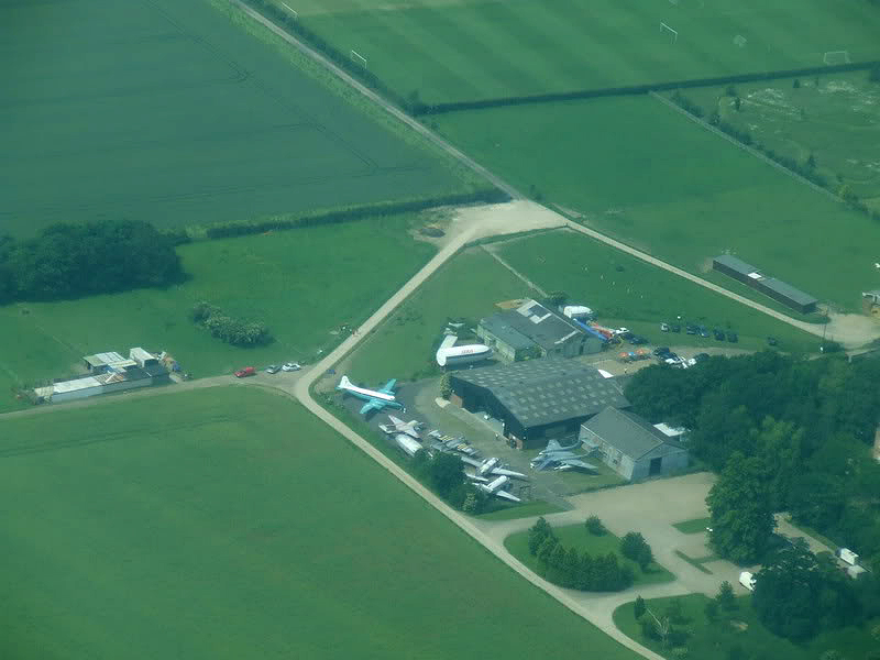
De Havilland Aircraft Museum

The de Havilland Aircraft Museum, formerly the de Havilland Aircraft Heritage Centre, is a volunteer-run aviation museum in London Colney, Hertfordshire...

Nearby Amenities

Located within 500m of 51.719566,-0.2863762
Created By: YahooApplet 1.0
Lat/Long: 51.7189797/-0.2829559
Created By: YahooApplet 1.0
Lat/Long: 51.7198039/-0.2838786
Barrier: lift_gate
Maxwidth: 6'6"
Lat/Long: 51.7195451/-0.2884181
Turning Circle
Lat/Long: 51.7180355/-0.2831367
Bus Stop
High Street
Bus: yes
Naptan AtcoCode: 210021504890
Naptan Bearing: NE
Naptan CommonName: High Street
Naptan Crossing: opp The White Lion PH
Naptan Indicator: NE-bound
Naptan Landmark: opp The White Lion PH
Naptan NaptanCode: hrtawjwa
Naptan PlusbusZoneRef: RADLETT;STALBCY
Naptan ShortCommonName: NA
Naptan Street: St Annes Road
Naptan Verified: no
Public Transport: platform
Shelter: no
Source: naptan_import
Lat/Long: 51.7208375/-0.2931466
Bus Stop
Willowside
Bus: yes
Naptan AtcoCode: 210021504900
Naptan Bearing: SE
Naptan CommonName: Willowside
Naptan Crossing: Colne Gardens
Naptan Indicator: opp
Naptan Landmark: Colne Gardens
Naptan NaptanCode: hrtawjwd
Naptan PlusbusZoneRef: RADLETT;STALBCY
Naptan ShortCommonName: NA
Naptan Street: Barnet Road
Naptan Verified: no
Public Transport: platform
Shelter: yes
Source: naptan_import
Lat/Long: 51.7192694/-0.2880116
Bus Stop
Thamesdale
Bench: yes
Bin: no
Bus: yes
Lit: yes
Naptan AtcoCode: 210021504920
Naptan Bearing: SE
Naptan CommonName: Thamesdale
Naptan Crossing: Watersplash Court
Naptan Indicator: adj
Naptan Landmark: Watersplash Court
Naptan NaptanCode: hrtawjwg
Naptan PlusbusZoneRef: RADLETT;STALBCY
Naptan ShortCommonName: NA
Naptan Street: Barnet Road
Naptan Verified: no
Public Transport: platform
Shelter: yes
Source: naptan_import
Tactile Paving: yes
Lat/Long: 51.7184646/-0.2852777
Bus Stop
Colney Fields Retail Park
Bus: yes
Local Ref: B
Naptan AtcoCode: 210021504930
Naptan Bearing: SW
Naptan CommonName: Sainsbury's
Naptan Crossing: Colney Fields Shopping Park
Naptan Indicator: Stop 2
Naptan Landmark: Colney Fields Shopping Park
Naptan NaptanCode: hrtawjwj
Naptan PlusbusZoneRef: RADLETT;STALBCY
Naptan ShortCommonName: NA
Naptan Street: Sainsbury's
Naptan Verified: no
Public Transport: platform
Source: naptan_import
Lat/Long: 51.7169335/-0.2858902
Bus Stop
The Bell Roundabout
Bus: yes
Naptan AtcoCode: 210021504940
Naptan Bearing: SE
Naptan CommonName: The Bell Roundabout
Naptan Crossing: opp Ridgeview
Naptan Indicator: E-bound
Naptan Landmark: opp Ridgeview
Naptan NaptanCode: hrtawjwm
Naptan PlusbusZoneRef: RADLETT;STALBCY
Naptan ShortCommonName: NA
Naptan Street: Barnet Road
Naptan Verified: no
Public Transport: platform
Source: naptan_import
Lat/Long: 51.7173616/-0.2805249
Bus Stop
High Street
Bus: yes
Naptan AtcoCode: 210021504950
Naptan Bearing: SW
Naptan CommonName: High Street
Naptan Crossing: The White Lion PH
Naptan Indicator: SW-bound
Naptan Landmark: The White Lion PH
Naptan NaptanCode: hrtawjwp
Naptan PlusbusZoneRef: RADLETT;STALBCY
Naptan ShortCommonName: NA
Naptan Street: St Annes Road
Naptan Verified: no
Public Transport: platform
Shelter: no
Source: naptan_import
Lat/Long: 51.7206707/-0.2932969
Bus Stop
Colney Fields Retail Park
Bus: yes
Local Ref: A
Naptan AtcoCode: 210021504965
Naptan Bearing: W
Naptan CommonName: Sainsbury's
Naptan Crossing: Colney Fields Shopping Park
Naptan Indicator: Stop 1
Naptan Landmark: Colney Fields Shopping Park
Naptan NaptanCode: hrtawjpa
Naptan PlusbusZoneRef: RADLETT;STALBCY
Naptan ShortCommonName: NA
Naptan Street: Sainsbury's
Naptan Verified: no
Public Transport: platform
Source: naptan_import
Lat/Long: 51.7168424/-0.2861186
Bus Stop
The Bell Roundabout
Bus: yes
Naptan AtcoCode: 210021506960
Naptan Bearing: NW
Naptan CommonName: The Bell Roundabout
Naptan Crossing: Ashley Mead
Naptan Indicator: W-bound
Naptan Landmark: Ashley Mead
Naptan NaptanCode: hrtawdjt
Naptan PlusbusZoneRef: RADLETT;STALBCY
Naptan ShortCommonName: NA
Naptan Street: Barnet Road
Naptan Verified: no
Public Transport: platform
Source: naptan_import
Lat/Long: 51.7171633/-0.2805425
Bus Stop
Thamesdale
Bench: yes
Bin: yes
Bus: yes
Lit: yes
Naptan AtcoCode: 210021506970
Naptan Bearing: NW
Naptan CommonName: Thamesdale
Naptan Crossing: Mount View
Naptan Indicator: opp
Naptan Landmark: Mount View
Naptan NaptanCode: hrtawdjw
Naptan PlusbusZoneRef: RADLETT;STALBCY
Naptan ShortCommonName: NA
Naptan Street: Barnet Road
Naptan Verified: no
Public Transport: platform
Shelter: yes
Source: naptan_import
Tactile Paving: yes
Lat/Long: 51.7184269/-0.2855204
Bus Stop
Willowside
Bus: yes
Naptan AtcoCode: 210021507000
Naptan Bearing: NW
Naptan CommonName: Willowside
Naptan Crossing: opp The Colney Fox PH
Naptan Indicator: adj
Naptan Landmark: opp The Colney Fox PH
Naptan NaptanCode: hrtawdma
Naptan PlusbusZoneRef: RADLETT;STALBCY
Naptan ShortCommonName: NA
Naptan Street: Barnet Road
Naptan Verified: no
Public Transport: platform
Shelter: yes
Source: naptan_import
Lat/Long: 51.7189436/-0.2871375
Power: tower
Lat/Long: 51.7153605/-0.2840645
Turning Circle
Lat/Long: 51.7202646/-0.2910256
Compressed Air
Covered: no
Fee: no
Lit: yes
Lat/Long: 51.7169226/-0.2807202
Compressed Air
Covered: no
Fee: no
Lit: yes
Lat/Long: 51.7169775/-0.2807309
Traffic Calming: island
Lat/Long: 51.7193589/-0.2895474
Crossing
Crossing: marked
Lat/Long: 51.7170826/-0.2858754
Give Way
Lat/Long: 51.7156071/-0.2842466
Crossing
Crossing: uncontrolled
Lat/Long: 51.7167501/-0.2863064
Entrance: main
Lat/Long: 51.7160417/-0.2826602
Crossing
Check Date Crossing: 2021-09-12
Crossing: uncontrolled
Tactile Paving: yes
Lat/Long: 51.7163441/-0.2849292
Crossing
Check Date Crossing: 2021-09-12
Crossing: uncontrolled
Tactile Paving: yes
Lat/Long: 51.7157988/-0.28455
Crossing
Check Date Crossing: 2021-09-12
Crossing: uncontrolled
Tactile Paving: yes
Lat/Long: 51.7161017/-0.2858482
Entrance: main
Lat/Long: 51.7168013/-0.2831905
Crossing
Check Date Crossing: 2021-09-12
Crossing: uncontrolled
Tactile Paving: yes
Lat/Long: 51.7155524/-0.2854664
Entrance: main
Lat/Long: 51.7162312/-0.2827455
Crossing
Check Date Crossing: 2021-09-12
Crossing: uncontrolled
Tactile Paving: yes
Lat/Long: 51.7165155/-0.2861357
Entrance: main
Lat/Long: 51.7164011/-0.2828657
Entrance: main
Lat/Long: 51.7169983/-0.2812339
Toilets
Access: customers
Level: 0
Toilets Disposal: flush
Unisex: yes
Lat/Long: 51.7158708/-0.2867262
Entrance: main
Lat/Long: 51.7161159/-0.2859693
Crossing
Crossing: uncontrolled
Lat/Long: 51.7167606/-0.285221
Crossing
Check Date Crossing: 2021-09-12
Crossing: uncontrolled
Tactile Paving: yes
Lat/Long: 51.7165973/-0.2839784
Toilets
Access: customers
Check Date: 2021-09-12
Layer: 1
Level: 1
Toilets Disposal: flush
Unisex: yes
Lat/Long: 51.7160403/-0.2866109
Crossing
Crossing: uncontrolled
Lat/Long: 51.7167672/-0.2833466
Entrance: main
Lat/Long: 51.7165851/-0.2829959
Entrance: main
Lat/Long: 51.7160076/-0.2858925
Atm
Brand: Sainsbury's Bank
Brand Wikidata: Q7400525
Cash In: no
Check Date: 2021-09-12
Currency GBP: yes
Drive Through: no
Operator: Sainsbury's Bank
Operator Wikidata: Q7400525
Lat/Long: 51.7161831/-0.2861098
Atm
Brand: Sainsbury's Bank
Brand Wikidata: Q7400525
Cash In: no
Currency GBP: yes
Drive Through: no
Operator: Sainsbury's Bank
Operator Wikidata: Q7400525
Lat/Long: 51.7169753/-0.2812598
Recycling
Colney Fields Retail Park
Addr City: London Colney
Addr Postcode: AL2 1BG
Check Date: 2021-09-12
Recycling Cans: yes
Recycling Cardboard: yes
Recycling Glass Bottles: yes
Recycling Magazines: yes
Recycling Newspaper: yes
Recycling Paper: yes
Recycling Paper Packaging: yes
Recycling Plastic: yes
Recycling Plastic Bottles: yes
Recycling Type: container
Lat/Long: 51.7152022/-0.2847681
Crossing
Crossing: traffic_signals
Crossing Ref: pelican
Lat/Long: 51.720672/-0.2923018
Crossing
Crossing: uncontrolled
Lat/Long: 51.7151853/-0.2854659
Power: substation
Lat/Long: 51.7176799/-0.2841934
Barrier: lift_gate
Lat/Long: 51.721243/-0.2894788
Crossing
Crossing: uncontrolled
Crossing Island: no
Crossing Markings: zebra
Tactile Paving: no
Lat/Long: 51.7227044/-0.2878876
Transport /Ambient Office
Lat/Long: 51.7228507/-0.2889629
Produce Office
Lat/Long: 51.723304/-0.289416
Chill office
Lat/Long: 51.7222021/-0.2881332
Atm
Brand: Sainsbury's Bank
Brand Wikidata: Q7400525
Cash In: no
Check Date: 2021-09-12
Currency GBP: yes
Drive Through: no
Operator: Sainsbury's Bank
Operator Wikidata: Q7400525
Lat/Long: 51.7161777/-0.2861333
Pub
The Green Dragon
Addr City: London Colney
Addr Postcode: AL2 1RB
Addr Street: Waterside
Fhrs Authority: St Albans City
Fhrs Id: 306295
Outdoor Seating: yes
Website: http://www.the-green-dragon-london-colney.co.uk/
Wikidata: Q26469339
Lat/Long: 51.719286/-0.2911223
Barrier: kissing_gate
Foot: yes
Source: GPS
Lat/Long: 51.7160655/-0.2908626
Barrier: kissing_gate
Foot: yes
Source: GPS
Lat/Long: 51.718399/-0.2906606
Ford: yes
Lat/Long: 51.7192179/-0.2900735
Coal tax post
Historic: boundary_stone
Inscription: 24 VICT
Material: iron
Note: Coal tax boundary marker 37
Lat/Long: 51.7195346/-0.2907347
Post Box
Collection Times: Mo-Fr 09:00; Sa 07:00
Operator: Royal Mail
Post Box Type: lamp
Ref: AL2 149D
Royal Cypher: EIIR
Royal Cypher Wikidata: Q33102113
Lat/Long: 51.7190406/-0.2847342
Post Box
Collection Times: Mo-Fr 09:00; Sa 07:00
Operator: Royal Mail
Post Box Type: pillar
Ref: AL2 105D
Royal Cypher: EIIR
Royal Cypher Wikidata: Q33102113
Lat/Long: 51.7195415/-0.2907736
Noexit: yes
Lat/Long: 51.7214822/-0.2843727
Waste Basket
Lat/Long: 51.7212902/-0.2864689
Bench
Lat/Long: 51.7207288/-0.2859462
Waste Basket
Lat/Long: 51.7209018/-0.2861573
Waste Basket
Lat/Long: 51.7210203/-0.2862997
Bench
Lat/Long: 51.7210001/-0.2863079
Bench
Lat/Long: 51.7202779/-0.2874457
Waste Basket
Lat/Long: 51.720328/-0.2873617
Waste Basket
Lat/Long: 51.7203019/-0.2874042
Bench
Lat/Long: 51.7209315/-0.2868368
Waste Basket
Lat/Long: 51.7209525/-0.2868408
Waste Basket
Lat/Long: 51.7206836/-0.2859193
Traffic Calming: island
Lat/Long: 51.7194472/-0.2902896
Generator Method: photovoltaic
Generator Output Electricity: yes
Generator Solar Modules: 5
Generator Source: solar
Generator Type: solar_photovoltaic_panel
Location: roof
Power: generator
Tilted: no
Lat/Long: 51.7189058/-0.289872
Direction: 150
Generator Method: photovoltaic
Generator Output Electricity: yes
Generator Solar Modules: 7
Generator Source: solar
Generator Type: solar_photovoltaic_panel
Location: roof
Power: generator
Lat/Long: 51.7189409/-0.2899011
Direction: 215
Fixme: survey for panel count
Generator Method: photovoltaic
Generator Output Electricity: yes
Generator Solar Modules: 8
Generator Source: solar
Generator Type: solar_photovoltaic_panel
Location: roof
Power: generator
Lat/Long: 51.7189624/-0.2879664
Parking
Lat/Long: 51.7183879/-0.2867934
Crossing
Crossing: marked
Lat/Long: 51.7181048/-0.2841769
Direction: 110
Generator Method: photovoltaic
Generator Output Electricity: yes
Generator Solar Modules: 16
Generator Source: solar
Generator Type: solar_photovoltaic_panel
Location: roof
Power: generator
Lat/Long: 51.7177613/-0.2818388
Direction: 290
Generator Method: photovoltaic
Generator Output Electricity: yes
Generator Solar Modules: 1610
Generator Source: solar
Generator Type: solar_photovoltaic_panel
Location: roof
Power: generator
Lat/Long: 51.7178558/-0.2818833
Direction: 200
Generator Method: photovoltaic
Generator Output Electricity: yes
Generator Solar Modules: 4
Generator Source: solar
Generator Type: solar_photovoltaic_panel
Location: roof
Power: generator
Lat/Long: 51.7178263/-0.2817964
Direction: 290
Generator Method: photovoltaic
Generator Output Electricity: yes
Generator Solar Modules: 18
Generator Source: solar
Generator Type: solar_photovoltaic_panel
Location: roof
Power: generator
Lat/Long: 51.7180549/-0.2822611
Direction: 200
Generator Method: photovoltaic
Generator Output Electricity: yes
Generator Solar Modules: 20
Generator Source: solar
Generator Type: solar_photovoltaic_panel
Location: roof
Power: generator
Lat/Long: 51.7181774/-0.2824019
Direction: 200
Generator Method: photovoltaic
Generator Output Electricity: yes
Generator Solar Modules: 11
Generator Source: solar
Generator Type: solar_photovoltaic_panel
Location: roof
Power: generator
Lat/Long: 51.7187309/-0.2844615
Direction: 200
Generator Method: photovoltaic
Generator Output Electricity: yes
Generator Solar Modules: 8
Generator Source: solar
Generator Type: solar_photovoltaic_panel
Location: roof
Power: generator
Lat/Long: 51.7194117/-0.2842404
Ford: yes
Lat/Long: 51.7225674/-0.2841967
Ford: yes
Lat/Long: 51.7225319/-0.2854745
Tristan the Runaway Tractor
Attraction: kiddie_ride
Lat/Long: 51.7235683/-0.2832371
Addr Housenumber: 54A
Lat/Long: 51.7209526/-0.2921326
Addr Housenumber: 54
Lat/Long: 51.7209249/-0.2922088
Bench
Lat/Long: 51.7190628/-0.2906334
Crossing
Crossing: marked
Traffic Calming: table
Lat/Long: 51.7160152/-0.2820169
Traffic Calming: cushion
Lat/Long: 51.7157314/-0.2829592
Give Way
Lat/Long: 51.716944/-0.2854048
Give Way
Lat/Long: 51.7169414/-0.284359
Give Way
Lat/Long: 51.7164898/-0.2839656
Barrier: bollard
Lat/Long: 51.7169117/-0.286699
Colney Fields Retail Park
Bus: yes
Local Ref: B
Public Transport: stop_position
Lat/Long: 51.7169642/-0.2859565
Bicycle Parking
Lat/Long: 51.715375/-0.2856974
Noexit: yes
Lat/Long: 51.7221673/-0.2872224
Barrier: cattle_grid
Lat/Long: 51.7235199/-0.2833652
Restaurant
Sushi Gourmet @ Sainsburys
Addr City: London Colney
Addr Postcode: AL2 1AB
Addr Street: Barnet Road
Cuisine: sushi
Fhrs Authority: St Albans City
Fhrs Id: 949307
Lat/Long: 51.7163127/-0.287268
Barrier: lift_gate
Lat/Long: 51.7222618/-0.287153
Barrier: lift_gate
Lat/Long: 51.7226221/-0.2874484
Barrier: lift_gate
Lat/Long: 51.7227204/-0.2875935
Crossing
Crossing: uncontrolled
Crossing Island: no
Crossing Markings: zebra
Tactile Paving: no
Lat/Long: 51.721299/-0.2868343
Crossing
Crossing: uncontrolled
Crossing Island: no
Crossing Markings: zebra
Tactile Paving: no
Lat/Long: 51.7205562/-0.288223
Crossing
Crossing: uncontrolled
Crossing Island: no
Crossing Markings: zebra
Tactile Paving: no
Lat/Long: 51.7227751/-0.2877299
Crossing
Crossing: uncontrolled
Crossing Island: no
Crossing Markings: zebra
Tactile Paving: no
Lat/Long: 51.7227933/-0.2876702
Crossing
Crossing: uncontrolled
Crossing Markings: zebra
Lat/Long: 51.7237903/-0.2882617
Crossing
Crossing: uncontrolled
Crossing Island: no
Crossing Markings: lines
Tactile Paving: no
Lat/Long: 51.7230833/-0.2879649
Crossing
Crossing: uncontrolled
Crossing Island: no
Crossing Markings: lines
Tactile Paving: no
Lat/Long: 51.7230426/-0.2885658
Crossing
Crossing: uncontrolled
Crossing Island: no
Crossing Markings: lines
Tactile Paving: no
Lat/Long: 51.7229425/-0.2878086
Crossing
Crossing: uncontrolled
Crossing Island: no
Crossing Markings: lines
Tactile Paving: no
Lat/Long: 51.7227478/-0.2882399
Direction: both
Traffic Calming: bump
Lat/Long: 51.7238143/-0.2882893
Barrier: cattle_grid
Lat/Long: 51.7231933/-0.2846132
Card Factory
Brand: Card Factory
Brand Wikidata: Q5038192
Shop: gift
Lat/Long: 51.7160514/-0.2826068
Fast Food
Greggs
Brand: Greggs
Brand Wikidata: Q3403981
Cuisine: sandwich;bakery
Takeaway: yes
Lat/Long: 51.7160921/-0.2826362
Fast Food
Burger King
Brand: Burger King
Brand Wikidata: Q177054
Cuisine: burger
Takeaway: yes
Lat/Long: 51.7160101/-0.2825757
PureGym
Brand: PureGym
Brand Wikidata: Q18345898
Leisure: fitness_centre
Lat/Long: 51.7160519/-0.2823645
The data included in this document is from www.openstreetmap.org. The data is made available under ODbL.

Have you been to Cooper's Wood?

Leave your review of Cooper's Wood below (or comments, questions and feedback).