Baty's Spinney

Wood, Forest in Hertfordshire North Hertfordshire

England

Baty's Spinney

The Green, Kimpton This view is looking towards Church Lane. the building in the centre is a former butcher's shop.
The Green, Kimpton Credit: Humphrey Bolton

Baty's Spinney is a verdant woodland located in Hertfordshire, England. Spread across an area of approximately 50 acres, this enchanting forest is a cherished natural haven for both locals and visitors alike. Situated near the village of Batford, the Spinney offers a serene escape from the bustling urban life nearby.

The woodland is characterized by a diverse range of trees, including oak, beech, and birch, which create a dense canopy overhead. These towering giants provide ample shade, making Baty's Spinney an ideal spot for picnics, leisurely walks, and exploring nature. The forest floor is carpeted with a rich assortment of wildflowers and ferns, adding to the area's beauty and biodiversity.

Baty's Spinney is home to a variety of wildlife. Nature enthusiasts can spot numerous bird species, such as woodpeckers, blue tits, and finches, flitting among the branches. The forest also provides a habitat for small mammals like squirrels, foxes, and rabbits, which can often be seen darting through the undergrowth.

The woodland is crisscrossed by a network of well-maintained footpaths, allowing visitors to venture deep into its heart. These trails wind through the forest, revealing hidden clearings, babbling brooks, and picturesque viewpoints. The Spinney also boasts a small pond, attracting dragonflies, frogs, and other aquatic creatures.

Baty's Spinney offers a peaceful retreat for nature lovers and a chance to reconnect with the natural world. Its tranquil atmosphere, abundant flora and fauna, and charming walking trails make it a delightful destination for a day trip or a leisurely stroll.

If you have any feedback on the listing, please let us know in the comments section below.

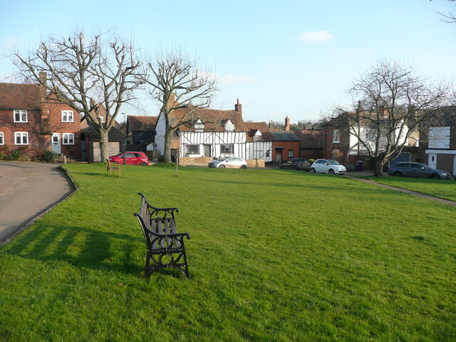
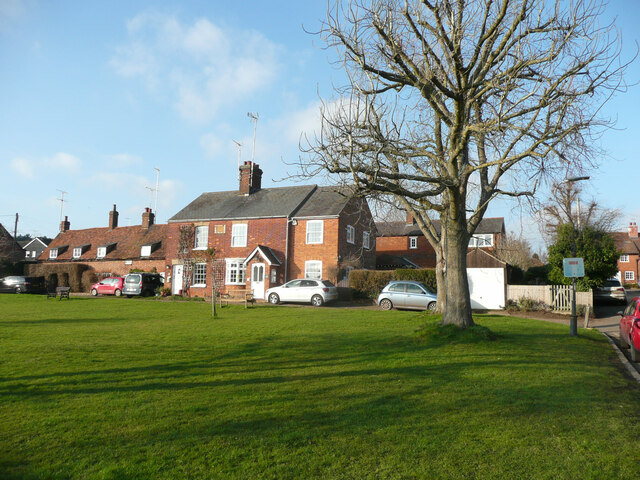
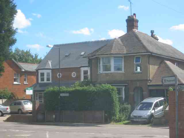
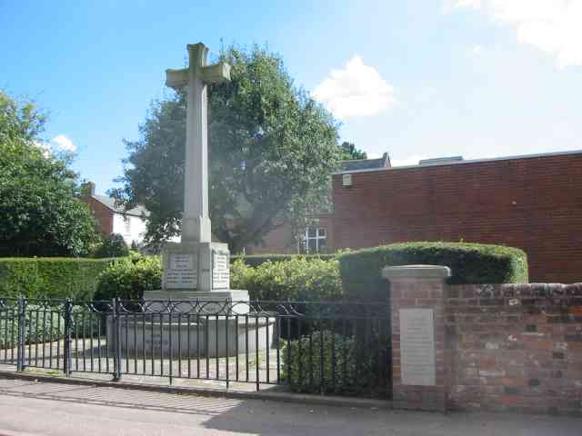
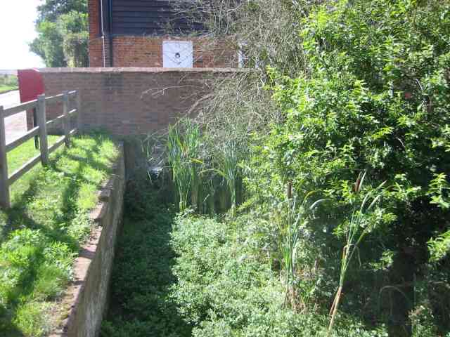
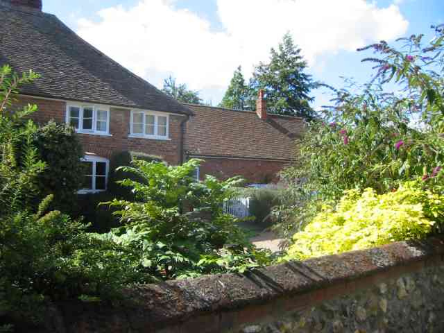
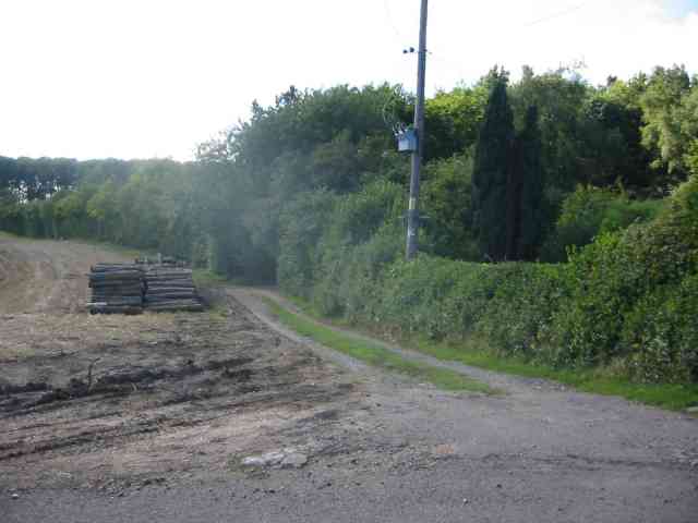
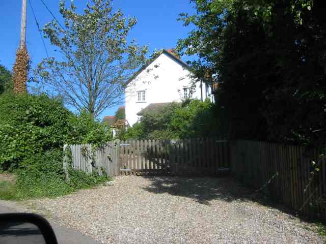
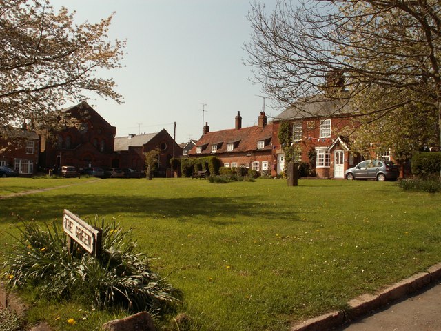
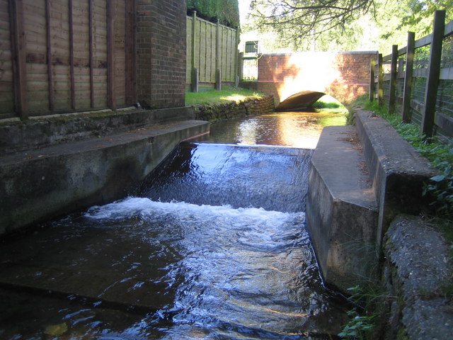
Baty's Spinney Images

Images are sourced within 2km of 51.862194/-0.28184772 or Grid Reference TL1819. Thanks to Geograph Open Source API. All images are credited.

The Green, Kimpton This view is looking towards Church Lane. the building in the centre is a former butcher's shop.
The Green, Kimpton
This view is looking towards Church Lane. the building in the centre is a former butcher's shop.
The north side of the green, Kimpton
High Street Whitwell
Houses on High Street Whitwell
Clump of trees in Three Houses Lane This was a spot for lunch and soaking in the scenery
Clump of trees in Three Houses Lane
This was a spot for lunch and soaking in the scenery
Codicote: Three Houses Lane A lone oak tree grows by the roadside in the rolling arable landscape of north Hertfordshire.
Codicote: Three Houses Lane
A lone oak tree grows by the roadside in the rolling arable landscape of north Hertfordshire.
Business Units in  Claggy Rd Kimpton At least there is employment within walking distance of the town.
Business Units in Claggy Rd Kimpton
At least there is employment within walking distance of the town.
Houses in High Street Kimpton Interesting to compare the floor heights of the two properties. Victorian versus more recent .
Houses in High Street Kimpton
Interesting to compare the floor heights of the two properties. Victorian versus more recent .
War Memorial High St Kimpton It seemed worthy to include this in the sequence
War Memorial High St Kimpton
It seemed worthy to include this in the sequence
Kimpton Mill This shows the waterway under the mill, which is now a private house
Kimpton Mill
This shows the waterway under the mill, which is now a private house
House at Kimpton Mill Difficult to tell if this house was an outbuilding 
to the mill
House at Kimpton Mill
Difficult to tell if this house was an outbuilding to the mill
New House in Whitwell This building site is at the junction of  High Street and the B651 just by the river.
New House in Whitwell
This building site is at the junction of High Street and the B651 just by the river.
The Bull Inn   Whitwell Looks to be a successful pub
The Bull Inn Whitwell
Looks to be a successful pub
Doctor's surgeries at Whitwell I hope that no architect was involved with this newish building.
Doctor's surgeries at Whitwell
I hope that no architect was involved with this newish building.
Road off Horn Hill  Whitwell Just at the other extreme of the block
Road off Horn Hill Whitwell
Just at the other extreme of the block
Water Tower at Whitwell The tower is located at the sharp left hand corner
Note the mobile phone antennae
Water Tower at Whitwell
The tower is located at the sharp left hand corner Note the mobile phone antennae
Pile of Pitprops next to Cuckolds Cottage The cottage was hidden behind bushes so this was more interesting.  Wonder about pit props though
Pile of Pitprops next to Cuckolds Cottage
The cottage was hidden behind bushes so this was more interesting. Wonder about pit props though
House at Cuckolds Cross This house is opposite to the cottage . I wonder why the Cuckold was cross???
House at Cuckolds Cross
This house is opposite to the cottage . I wonder why the Cuckold was cross???
Show me another place!

Baty's Spinney is located at Grid Ref: TL1819 (Lat: 51.862194, Lng: -0.28184772)

Administrative County: Hertfordshire

District: North Hertfordshire

Police Authority: Hertfordshire

What 3 Words

///seated.vital.cloak. Near Kimpton, Hertfordshire

Related Wikis

Kimpton, Hertfordshire

Kimpton is a village in Hertfordshire, England, six miles south of Hitchin, seven miles north of St Albans and four miles from Harpenden and Luton. The...

Whitwell, Hertfordshire

Whitwell is a village in the parish of St Paul's Walden about six miles south of Hitchin in Hertfordshire, England. Situated on a tableland, a spur of...

St Paul's Walden Bury

St. Paul's Walden Bury is an English country house and surrounding gardens in the village of St Paul's Walden in Hertfordshire. The house is a Grade II...

Ansells End

Ansells End is a hamlet of four historic homes in Hertfordshire, England. The population of the hamlet at the 2011 Census was included in the civil parish...

Nearby Amenities

Located within 500m of 51.862194,-0.28184772
Barrier: kissing_gate
Foot: yes
Lat/Long: 51.8585365/-0.277719
Bench
Backrest: no
Material: wood
Seats: 3
Lat/Long: 51.8617167/-0.2847066
Man Made: mast
Lat/Long: 51.8624767/-0.2785769
Barrier: kissing_gate
Foot: yes
Source: GPS
Lat/Long: 51.8608534/-0.2804491
The data included in this document is from www.openstreetmap.org. The data is made available under ODbL.

Have you been to Baty's Spinney?

Leave your review of Baty's Spinney below (or comments, questions and feedback).