Ash Planting
Wood, Forest in Bedfordshire
England
Ash Planting

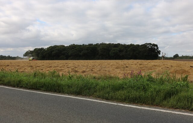
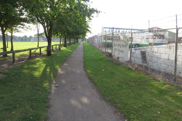
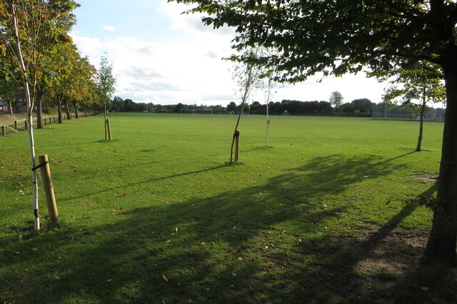
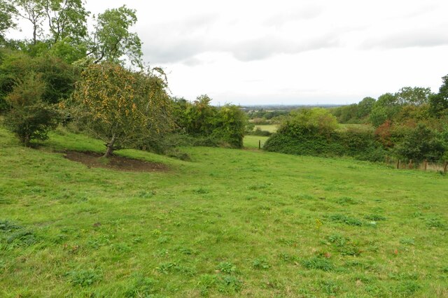
Ash Planting is a small woodland located in Bedfordshire, England. It is situated near the village of Ashwell and covers an area of approximately 20 acres. The woodland primarily consists of ash trees, hence the name, but also includes a variety of other tree species such as oak, beech, and birch.
The woodland is a designated Site of Special Scientific Interest (SSSI) due to its ecological importance. It supports a diverse range of flora and fauna, including several rare and protected species. The presence of old, veteran trees provides habitats for various birds, mammals, and insects, contributing to the overall biodiversity of the area.
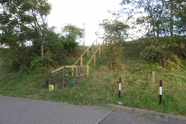
Ash Planting is managed by the Bedfordshire Wildlife Trust, which ensures the conservation and preservation of the woodland's natural features. The trust carries out regular maintenance activities such as tree planting, coppicing, and path maintenance to enhance the woodland's ecological value and make it accessible to visitors.
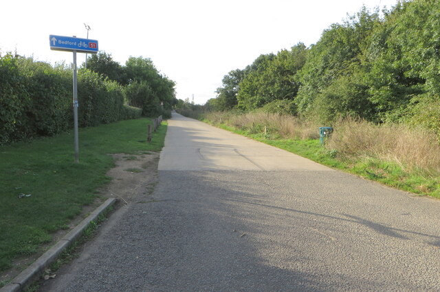
The woodland offers several walking trails that wind through its picturesque landscape, providing opportunities for nature enthusiasts, hikers, and families to explore and appreciate its beauty. Visitors can expect to see a variety of wildlife, including deer, squirrels, and a multitude of bird species.
Overall, Ash Planting in Bedfordshire is a valuable natural resource, providing a haven for wildlife and a place of tranquility for visitors to enjoy and appreciate the beauty of nature.
If you have any feedback on the listing, please let us know in the comments section below.
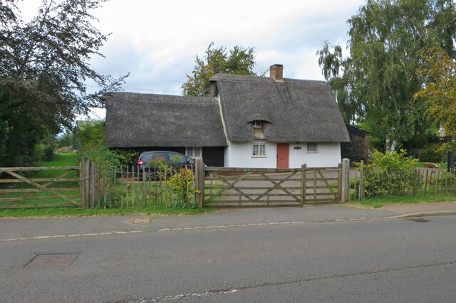
Ash Planting Images
Images are sourced within 2km of 52.146233/-0.27394648 or Grid Reference TL1851. Thanks to Geograph Open Source API. All images are credited.


Ash Planting is located at Grid Ref: TL1851 (Lat: 52.146233, Lng: -0.27394648)
Unitary Authority: Central Bedfordshire
Police Authority: Bedfordshire
What 3 Words
///rent.simulator.swarm. Near Everton, Bedfordshire
Nearby Locations
Related Wikis

Sandy Secondary School
Sandy Secondary School (formerly Sandy Upper School) is a coeducational secondary school, located in Sandy, Bedfordshire, England.The school educates 11...

RAF Tempsford
RAF Tempsford is a former Royal Air Force station located 2.3 miles (3.7 km) north east of Sandy, Bedfordshire, England and 4.4 miles (7.1 km) south of...

Everton, Bedfordshire
Everton is a small rural village of about 200 dwellings (including outlying) and civil parish in the Central Bedfordshire district of Bedfordshire, England...

Girtford Halt railway station
Girtford Halt was a short-lived railway halt on the Varsity Line which served the Girtford area of Sandy in Bedfordshire, England. It was opened by the...
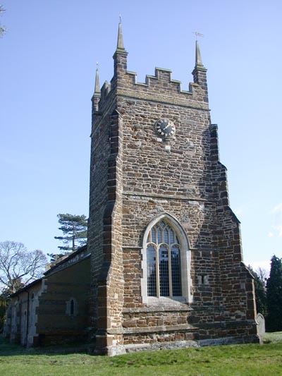
Church of St Mary, Everton, Bedfordshire
Church of St Mary is a Grade I listed church in Everton, Bedfordshire, England. It became a listed building on 26 November 1986. Its most famous rector...
Sandy, Bedfordshire
Sandy is a town and civil parish in Central Bedfordshire, England. It lies 8 miles (13 km) to the east of Bedford, 18 miles (29 km) to the south west of...

Sandy railway station
Sandy railway station serves the town of Sandy in Bedfordshire, England. It is on the East Coast Main Line, about 44 miles (71 km) from London King's Cross...

Tempsford Memorial
The Tempsford Memorial is a war memorial in the village of Tempsford in Bedfordshire. The village was the home of RAF Tempsford. The memorial commemorates...
Related Videos

RAF Tempsford, the secret of secret World War 2 airfields
A look around RAF Tempsford, a secret WW2 airfield that was used to drop secret agents into hostile lands in Europe, The Far ...

A Sandy Circular. 13/3/20
A very decent 14.6 mile walk around the Central Bedfordshire village of Sandy. Adapted from one found on the OS Maps 'app', ...

Sand Minecart trap
Sand Minecart trap #shorts ABOUT MY CHANNEL: Hi! I'm Orc Minecraft. On my channel, you will find Minecraft builds, montages ...

Top Spec Euro6 ULEZ Free Hyundai i40 Auto Estate For Sale in Bedfordshire
Just 1 former keeper on the registration document and Main dealer serviced within the last 400 miles. This range topping ULEZ ...
Nearby Amenities
Located within 500m of 52.146233,-0.27394648Have you been to Ash Planting?
Leave your review of Ash Planting below (or comments, questions and feedback).