Icehouse Plantation
Wood, Forest in Huntingdonshire Huntingdonshire
England
Icehouse Plantation

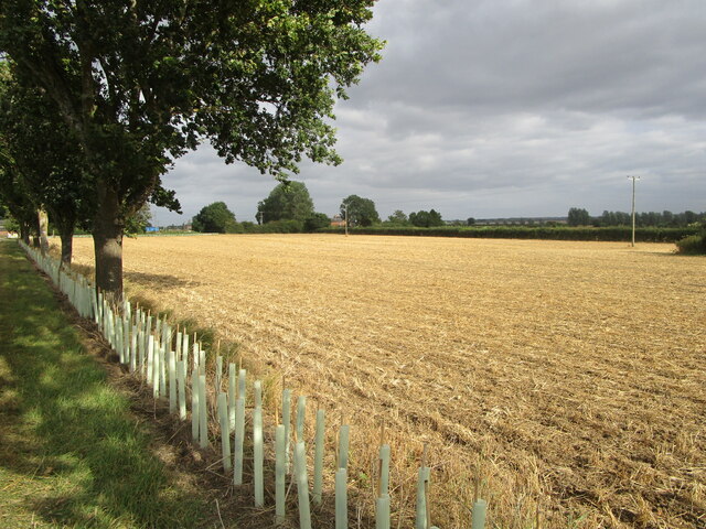
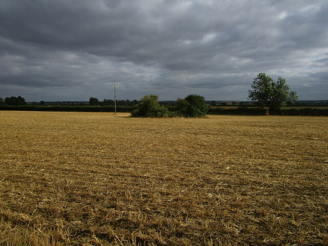
Icehouse Plantation is a picturesque woodland located in Huntingdonshire, a historic county in the eastern part of England. Spanning over a vast area, this beautiful forest exudes tranquility and natural beauty. It is a popular destination for nature enthusiasts, hikers, and those seeking an escape from the hustle and bustle of urban life.
The plantation is characterized by its dense concentration of trees, predominantly oak and beech, which form a lush canopy overhead. These towering trees provide a habitat for a diverse range of flora and fauna, making it a haven for wildlife. Visitors can spot various bird species, small mammals, and even the occasional deer roaming freely within the forest.
One of the notable features of Icehouse Plantation is its namesake icehouse, which dates back to the 18th century. This historic structure was originally used to store ice, which was harvested during the winter months and preserved for use throughout the year. The ice would be used for various purposes, including the storage of perishable goods.
The woodland offers a network of well-maintained trails, allowing visitors to explore its natural wonders at their own pace. These trails wind their way through the forest, providing breathtaking views of the surrounding landscape. Whether it is a leisurely stroll or a more challenging hike, Icehouse Plantation caters to all levels of fitness and outdoor enthusiasts.
Overall, Icehouse Plantation is a hidden gem in Huntingdonshire, offering a peaceful retreat for those seeking solace in nature. Its pristine beauty, rich biodiversity, and historical significance make it a must-visit destination for anyone looking to connect with the natural world.
If you have any feedback on the listing, please let us know in the comments section below.
Icehouse Plantation Images
Images are sourced within 2km of 52.46093/-0.26248851 or Grid Reference TL1886. Thanks to Geograph Open Source API. All images are credited.


Icehouse Plantation is located at Grid Ref: TL1886 (Lat: 52.46093, Lng: -0.26248851)
Administrative County: Cambridgeshire
District: Huntingdonshire
Police Authority: Cambridgeshire
What 3 Words
///peanut.haunt.helped. Near Sawtry, Cambridgeshire
Nearby Locations
Related Wikis

All Saints Church, Conington
All Saints Church is a redundant Anglican church in the village of Conington in the Huntingdonshire district of Cambridgeshire, England. It is recorded...

Conington Castle
Conington Castle was a 16th-century house in Conington, Huntingdonshire, England, built for Sir Robert Cotton. It was demolished in 1956 by the then owner...
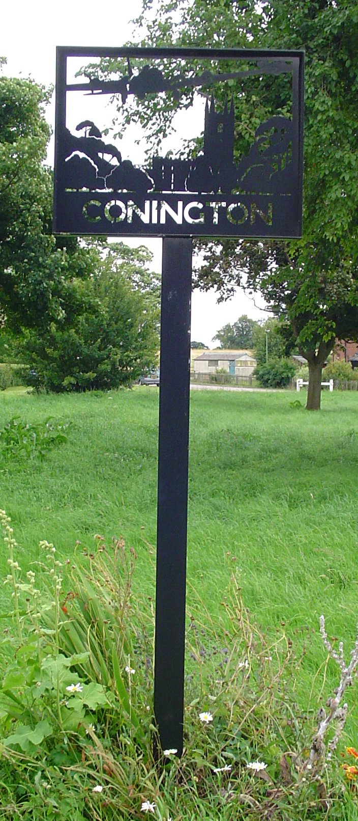
Conington, Huntingdonshire
Conington (Conington All Saints, or "Conington-juxta-Petriburg") is an English village and civil parish in the Cambridgeshire district of Huntingdonshire...

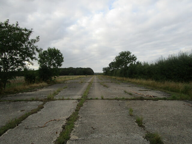
RAF Glatton
Royal Air Force Glatton or more simply RAF Glatton is a former Royal Air Force station located 10 miles (16 km) north of Huntingdon, Cambridgeshire, England...
Nearby Amenities
Located within 500m of 52.46093,-0.26248851Have you been to Icehouse Plantation?
Leave your review of Icehouse Plantation below (or comments, questions and feedback).