Boldings Copse
Wood, Forest in Sussex Horsham
England
Boldings Copse

Boldings Copse is a picturesque woodland located in the county of Sussex, England. Covering an area of approximately 100 acres, this ancient woodland is characterized by its dense tree canopy and diverse range of flora and fauna.
The woodland is predominantly composed of deciduous trees, including oak, beech, and ash, which provide a rich habitat for many wildlife species. The forest floor is adorned with a carpet of bluebells during the spring months, creating a stunning display of color and fragrance.
Boldings Copse is also known for its network of footpaths and trails, making it a popular destination for outdoor enthusiasts and nature lovers. These paths meander through the woodland, allowing visitors to explore its natural beauty at their own pace.
Wildlife enthusiasts will be delighted by the variety of animals that call Boldings Copse their home. It is not uncommon to spot deer grazing in the meadows or hear the distinctive call of a woodpecker echoing through the trees. The woodland also provides a haven for a multitude of bird species, including tawny owls and nuthatches.
Furthermore, the copse is a designated Site of Special Scientific Interest (SSSI) due to its ecological importance and historical significance. The woodland has remained relatively unchanged for centuries, providing a glimpse into the ancient landscapes that once covered much of Sussex.
Overall, Boldings Copse is a tranquil and enchanting woodland that offers visitors a chance to connect with nature and experience the beauty of the Sussex countryside.
If you have any feedback on the listing, please let us know in the comments section below.
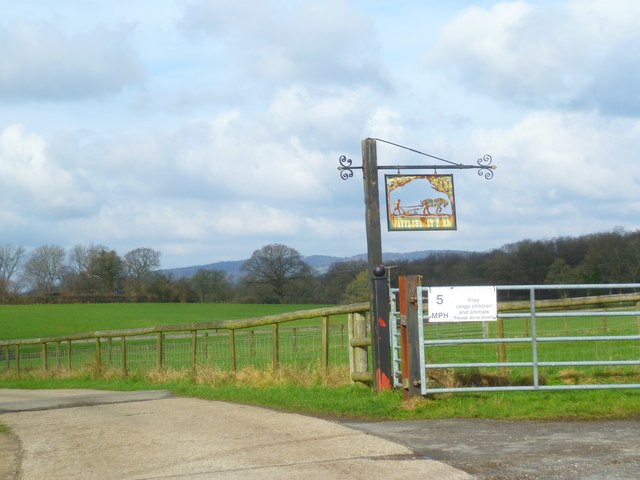
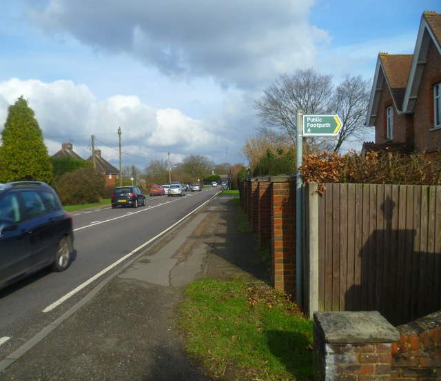
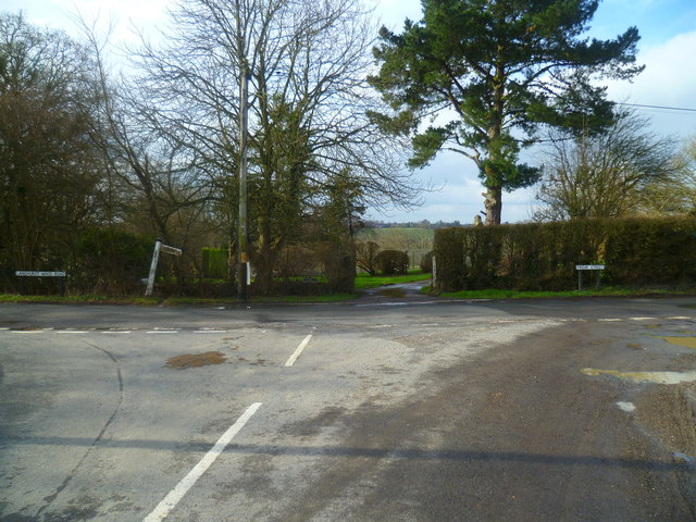
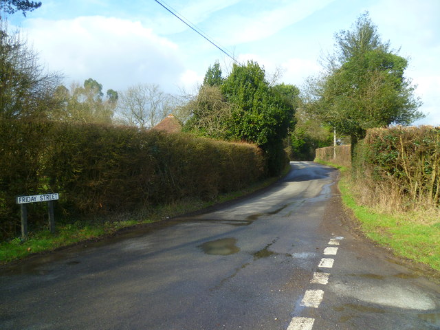
Boldings Copse Images
Images are sourced within 2km of 51.120788/-0.3150838 or Grid Reference TQ1837. Thanks to Geograph Open Source API. All images are credited.


Boldings Copse is located at Grid Ref: TQ1837 (Lat: 51.120788, Lng: -0.3150838)
Administrative County: West Sussex
District: Horsham
Police Authority: Sussex
What 3 Words
///pretty.object.collapsed. Near Capel, Surrey
Nearby Locations
Related Wikis

Shiremark Mill, Capel
Shiremark Mill, also known as Kingsfold Mill or Capel Mill was a listed Smock mill at Capel, Surrey, England, which was burnt down in 1972. == History... ==

Clock House Brickworks
Clock House Brickworks is a 35.9-hectare (89-acre) geological Site of Special Scientific Interest south of Capel in Surrey. It is a Geological Conservation...

Warnham SSSI
Warnham SSSI is a 28.5-hectare (70-acre) geological Site of Special Scientific Interest north of Horsham in West Sussex. It is a Geological Conservation...

Auclaye
Auclaye is a 0.6-hectare (1.5-acre) geological Site of Special Scientific Interest south of Capel in Surrey. It is a Geological Conservation Review site...

Rusper
Rusper is a village and civil parish in the Horsham District of West Sussex, England. It lies 4.1 miles (6.6 km) north of the town of Horsham and 4.2 miles...

Graylands
Graylands is a hamlet in the Horsham district of West Sussex, England. The largely rural hamlet is located north of Holbrook beyond the A264. It is bordered...

Old Holbrook
Old Holbrook (formerly known as Northlands) is a hamlet in the Horsham district of West Sussex, England. This rural hamlet is located north of the Horsham...

Warnham railway station
Warnham railway station serves the village of Warnham in West Sussex, England. It is 33 miles 46 chains (54.0 km) measured from London Waterloo (although...
Nearby Amenities
Located within 500m of 51.120788,-0.3150838Have you been to Boldings Copse?
Leave your review of Boldings Copse below (or comments, questions and feedback).