The Coppice

Wood, Forest in Bedfordshire

England

The Coppice

Copse by Tempsford Road, Church End
Copse by Tempsford Road, Church End Credit: David Howard

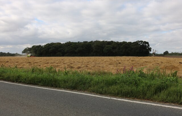
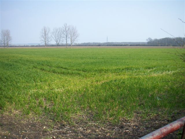
The Coppice is a picturesque woodland located in Bedfordshire, England. Spanning over several acres, it is a well-known destination for nature enthusiasts and hikers alike. The woodland is characterized by its dense foliage, towering trees, and diverse array of plant and animal species.

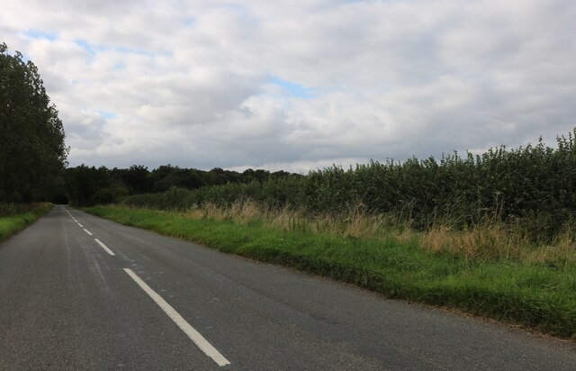
The Coppice offers a tranquil and serene environment, ideal for those seeking a peaceful retreat from the hustle and bustle of city life. Visitors can meander through the winding paths that crisscross the forest, immersing themselves in its natural beauty. The woodland is home to a variety of tree species, including oak, beech, and birch, which provide a stunning display of colors during the autumn months.

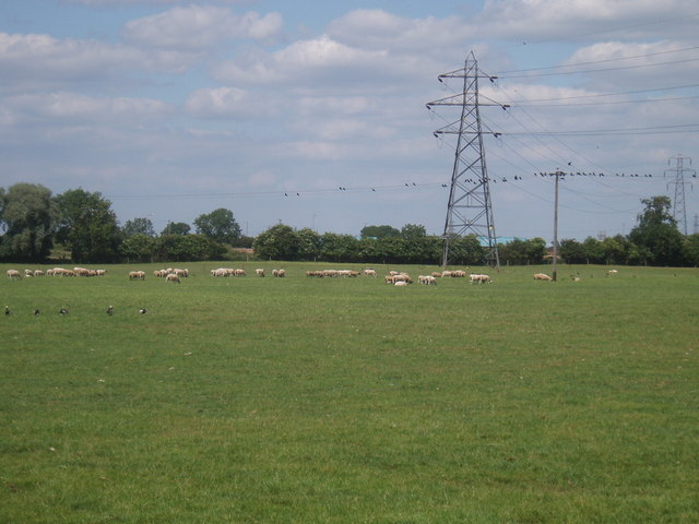
Wildlife thrives within The Coppice, with numerous species calling it their home. Birdwatchers will delight in the opportunity to spot a wide range of avian species, including woodpeckers, owls, and various songbirds. Small mammals such as foxes, rabbits, and squirrels can also be observed scurrying through the undergrowth.

For those interested in history, The Coppice holds significance as a remnant of ancient woodlands that once covered large parts of the region. The forest has been carefully preserved, allowing visitors to experience a glimpse of the natural landscape that existed centuries ago.

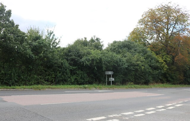
Access to The Coppice is easy, with well-maintained paths and designated parking areas available for visitors. The woodland is open year-round, with each season offering its own unique charm. Whether it be a leisurely stroll, a birdwatching expedition, or simply a moment of tranquility, The Coppice is a must-visit destination for nature enthusiasts in Bedfordshire.

If you have any feedback on the listing, please let us know in the comments section below.
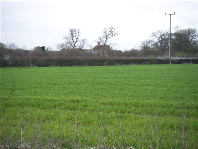
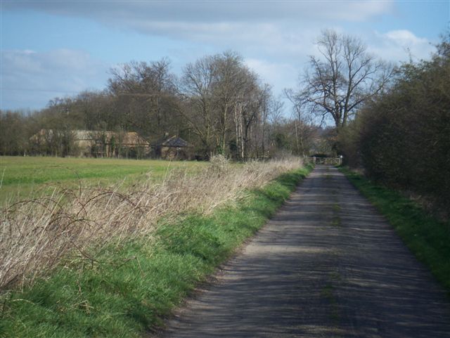
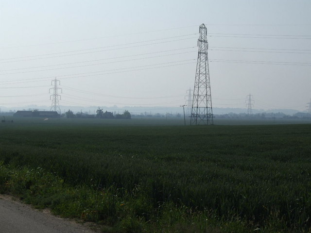
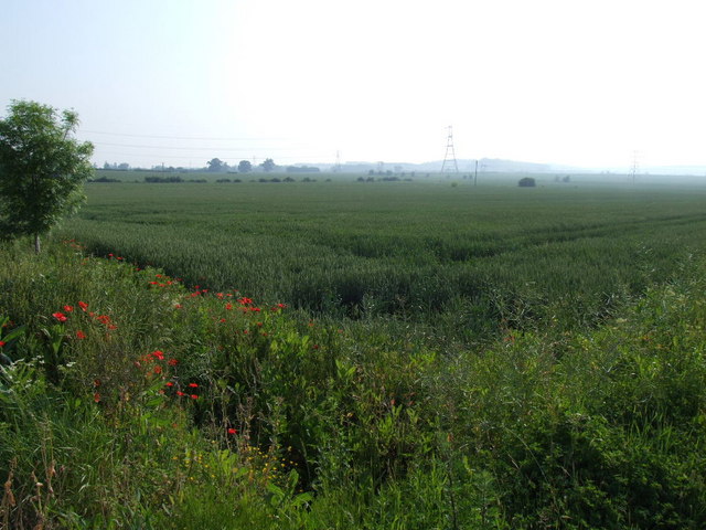
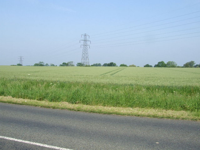
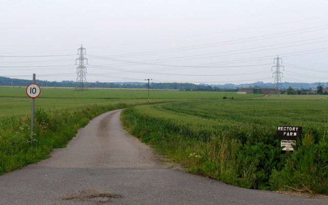
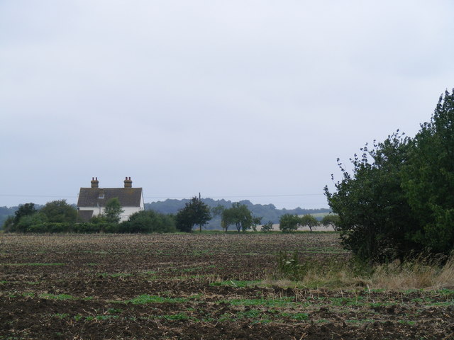
The Coppice Images

Images are sourced within 2km of 52.174624/-0.27735211 or Grid Reference TL1754. Thanks to Geograph Open Source API. All images are credited.

Copse by Tempsford Road, Church End
Tempsford Road, Church End
Old Great North Road, Church End The dual carriageway runs parallel now.
Old Great North Road, Church End
The dual carriageway runs parallel now.
Cow Pasture under the A1
Tempsford Bridge The northbound A1 crosses the River Ivel with two quite steep bends. Southbound the bridge is much straighter. In between the two carriageways is a marina.
Tempsford Bridge
The northbound A1 crosses the River Ivel with two quite steep bends. Southbound the bridge is much straighter. In between the two carriageways is a marina.
School Lane/A1 junction No right turn!
School Lane/A1 junction
No right turn!
Lots of birds and sheep Field between the river and the A-road
Lots of birds and sheep
Field between the river and the A-road
Train heading from London at Tempsford Crossing This was taken when we had snow on the 8th Feb 2007.
The crossing is at the end of Station Road, and we get a number of trains from London-Peterborough during the hour. The road comes in from <a href="https://www.geograph.org.uk/gridref/TL1754">TL1754</a>, and afterwards forks to go NE towards Hills Farm and SE towards Woodbury Lodge Farm. There is a Public Bridleway at the end of each which link so that you can do a round trip walk.
Train heading from London at Tempsford Crossing
This was taken when we had snow on the 8th Feb 2007. The crossing is at the end of Station Road, and we get a number of trains from London-Peterborough during the hour. The road comes in from TL1754, and afterwards forks to go NE towards Hills Farm and SE towards Woodbury Lodge Farm. There is a Public Bridleway at the end of each which link so that you can do a round trip walk.
Everton level crossing
Farmland East coast main line in the distance
Farmland
East coast main line in the distance
Farmland Looking across to some buildings - could be Mossbury Manor
Farmland
Looking across to some buildings - could be Mossbury Manor
Woodbury Lodge Farm
Woodbury Lodge Farm
Rectory Farm and power pylons
Poppies and a field near Rectory Farm
Power lines near Tempsford
Rectory Farm Entrance
Woodbury Low Farm Approaching Woodbury Low Farm on the Roman Road - now known as the Skylark Ride.
Woodbury Low Farm
Approaching Woodbury Low Farm on the Roman Road - now known as the Skylark Ride.
Skylark Ride This horse-sized footbridge permits the Skylark Ride (Roman Road) to continue northwards.
Skylark Ride
This horse-sized footbridge permits the Skylark Ride (Roman Road) to continue northwards.
Show me another place!

The Coppice is located at Grid Ref: TL1754 (Lat: 52.174624, Lng: -0.27735211)

Unitary Authority: Central Bedfordshire

Police Authority: Bedfordshire

What 3 Words

///embellish.earplugs.plausible. Near Tempsford, Bedfordshire

Nearby Locations

Poplar Spinney The Coppice

Related Wikis

Tempsford railway station

Tempsford railway station was a railway station built by the Great Northern Railway to serve the village of Tempsford in Bedfordshire, England. == History... ==

Battle of Tempsford

In 917, the group of Danes who had previously been based in Huntingdon relocated to Tempsford in Bedfordshire, together with other Danes from East Anglia...
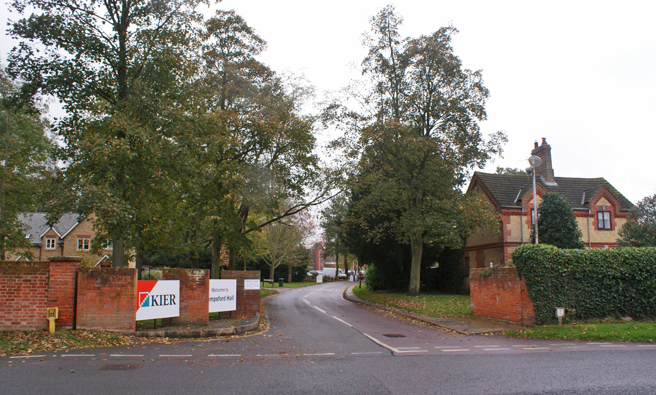
Tempsford Hall

Tempsford Hall is a country house in Tempsford, Bedfordshire. == History == The original hall was built in 1769 for Sir Gillies Payne; it remained in the...

Tempsford

Tempsford is a village and civil parish in the Central Bedfordshire district of the county of Bedfordshire, England, about 7 miles (11 km) east north-east...

Nearby Amenities

Located within 500m of 52.174624,-0.27735211
Power: tower
Lat/Long: 52.1753265/-0.2733171
Power: tower
Source: Bing
Lat/Long: 52.1778069/-0.275023
Railway: level_crossing
Lat/Long: 52.1730615/-0.2754178
Power: pole
Lat/Long: 52.1746603/-0.2704335
Power: pole
Lat/Long: 52.1749334/-0.2716244
Power: pole
Lat/Long: 52.1713648/-0.274654
Power: pole
Lat/Long: 52.1723543/-0.2742155
Power: pole
Lat/Long: 52.170391/-0.2751422
Power: pole
Lat/Long: 52.1751021/-0.2740291
Power: pole
Lat/Long: 52.1769541/-0.2739582
Power: pole
Lat/Long: 52.1732796/-0.2741015
Power: pole
Lat/Long: 52.1742139/-0.2740532
Power: pole
Lat/Long: 52.1758793/-0.2740076
Power: pole
Lat/Long: 52.1780858/-0.2736723
Railway: level_crossing
Lat/Long: 52.1730585/-0.2753712
Railway: level_crossing
Lat/Long: 52.173054/-0.2753067
Railway: level_crossing
Lat/Long: 52.1730641/-0.2754805
Tempsford
Historic Railway: station
Railway: site
Source: OS 1:25k
Wikidata: Q7699003
Wikipedia: en:Tempsford railway station
Lat/Long: 52.1731898/-0.2752719
Direction: 185
Generator Method: photovoltaic
Generator Output Electricity: yes
Generator Solar Modules: 12
Generator Source: solar
Generator Type: solar_photovoltaic_panel
Location: roof
Power: generator
Lat/Long: 52.1715844/-0.2764472
The data included in this document is from www.openstreetmap.org. The data is made available under ODbL.

Have you been to The Coppice?

Leave your review of The Coppice below (or comments, questions and feedback).