Asney
Settlement in Somerset Mendip
England
Asney

Asney is a small village located in the county of Somerset, England. It is situated in the South West region of the country, approximately 10 miles east of the city of Taunton. Asney falls within the administrative district of Sedgemoor.
The village is nestled in a picturesque rural setting, surrounded by rolling hills and farmland. It is primarily a residential area, with a population of around 300 people. The village is known for its sense of community and friendly atmosphere.
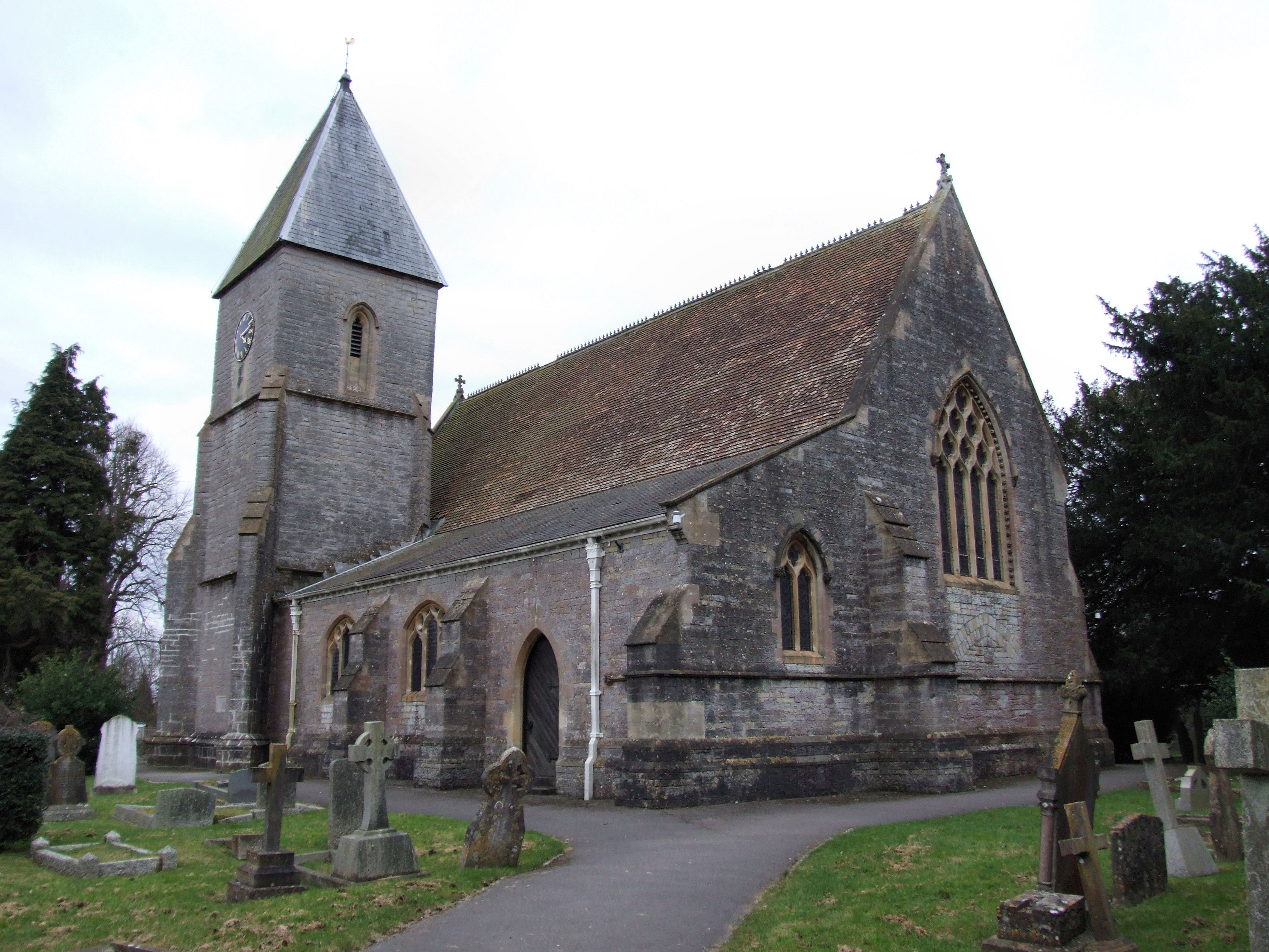
Asney has a rich history, with evidence of settlements dating back to the Roman times. The village contains several historic buildings, including a medieval church, St. Mary's Church, which is renowned for its beautiful architecture and stained glass windows.
The local economy of Asney is largely based on agriculture, with many residents involved in farming and related industries. The village is also home to a few small businesses, such as a village shop and a pub, which serve as important social hubs for the community.
Nature lovers and outdoor enthusiasts will find plenty to enjoy in Asney, as the surrounding countryside offers numerous walking and cycling routes. The nearby Quantock Hills, designated an Area of Outstanding Natural Beauty, provide a stunning backdrop for outdoor activities.
Overall, Asney is a peaceful and charming village, offering residents and visitors a quintessential English countryside experience.
If you have any feedback on the listing, please let us know in the comments section below.
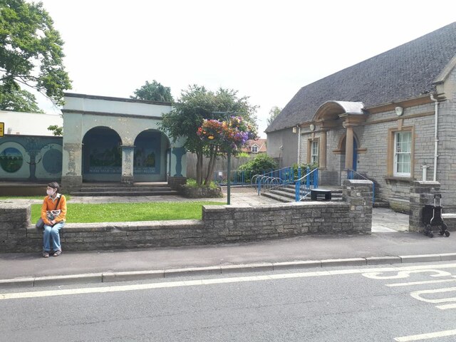
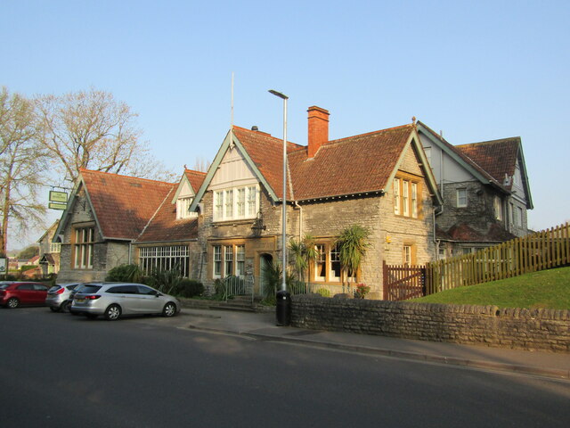
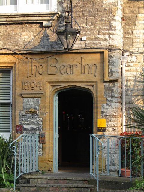
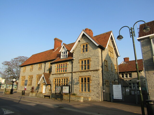
Asney Images
Images are sourced within 2km of 51.128657/-2.761949 or Grid Reference ST4636. Thanks to Geograph Open Source API. All images are credited.


Asney is located at Grid Ref: ST4636 (Lat: 51.128657, Lng: -2.761949)
Administrative County: Somerset
District: Mendip
Police Authority: Avon and Somerset
What 3 Words
///sparrows.playfully.foot. Near Street, Somerset
Nearby Locations
Related Wikis

Sharpham
Sharpham is a village and civil parish on the Somerset Levels near Street and Glastonbury in the Mendip district of Somerset, England. It is located near...
Holy Trinity Church, Walton
Holy Trinity Church is a Church of England church in Walton, Somerset, England. It was rebuilt in 1865–66 to the design of Rev. J. F. Turner and is a Grade...
Walton, Somerset
Walton is a village and civil parish on the Polden Hills in Somerset, England, 1.5 miles (2.4 km) west of Street. The parish includes the hamlet of Asney...

United Reformed Church, Street
The United Reformed Church (originally known as the Congregational Chapel) is a United Reformed Church in Street, Somerset, England. It was designed by...

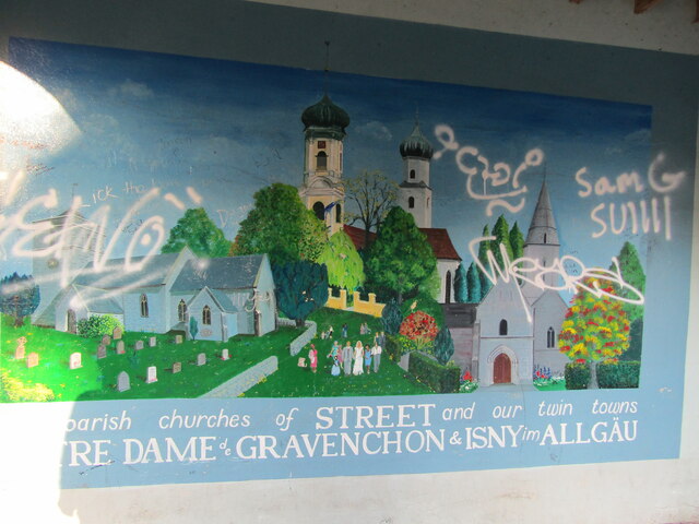
Street Mission Church
Street Mission Church is a Church of England church in Street, Somerset, England. The church was built in 1990 on the site of an earlier tin tabernacle...

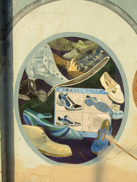
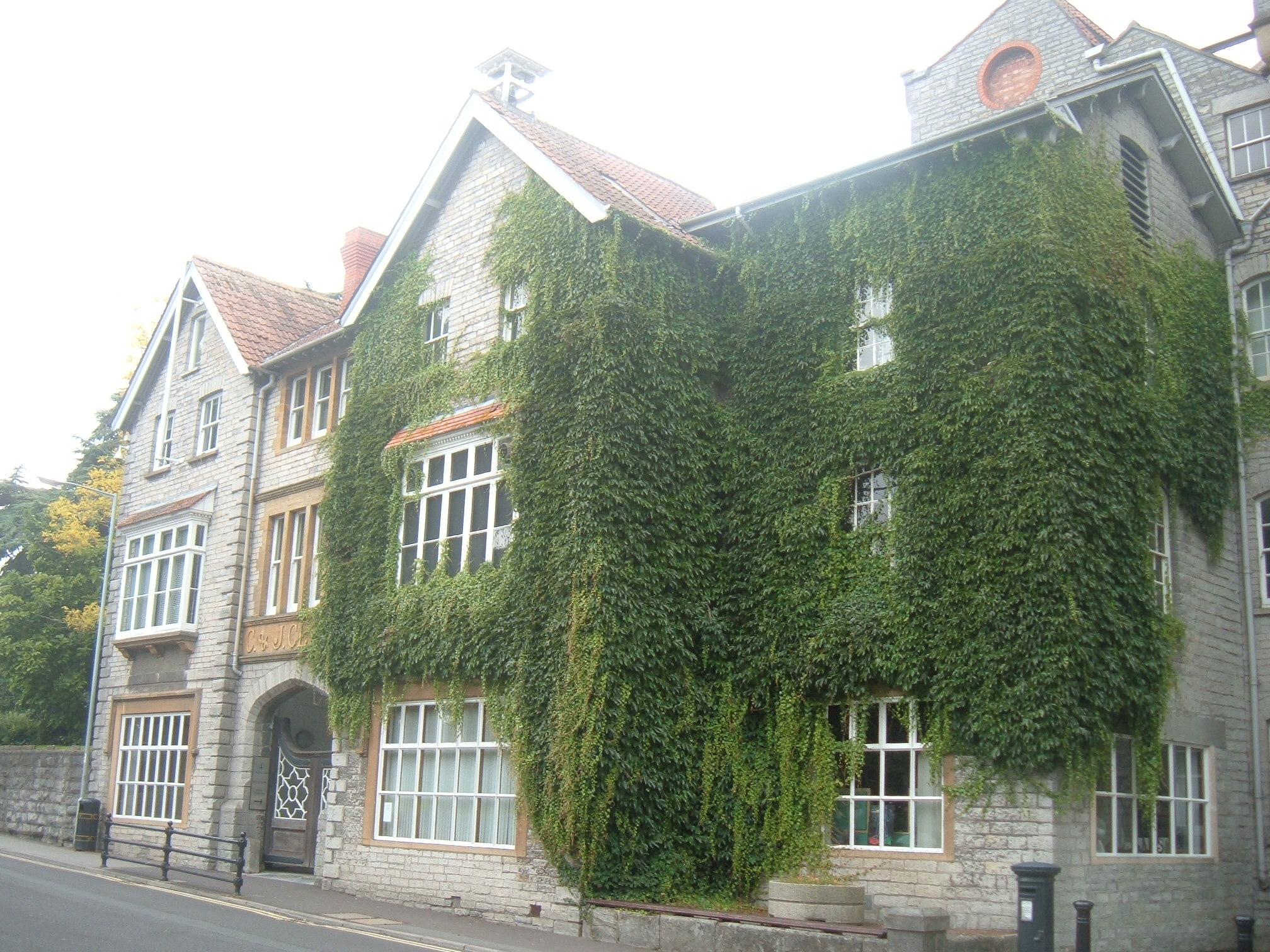
Clarks Village
Clarks Village is an outlet shopping village in Street, Somerset, England. It was established in 1993 on the site of old C&J Clark factory buildings....
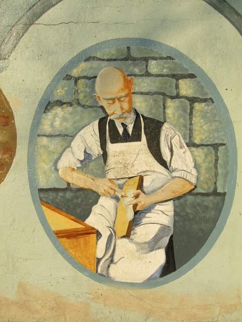
The Shoe Museum
The Shoe Museum in Street, Somerset, England exhibited shoes dating from the Roman era to the present day. The museum closed on 27 September 2019.It showed...

Street Methodist Church
Street Methodist Church is a Methodist church in Street, Somerset, England. It was designed by Henry Hawkins and George Alves and built in 1893. ��2�...
Nearby Amenities
Located within 500m of 51.128657,-2.761949Have you been to Asney?
Leave your review of Asney below (or comments, questions and feedback).