Furze Field
Wood, Forest in Sussex Horsham
England
Furze Field

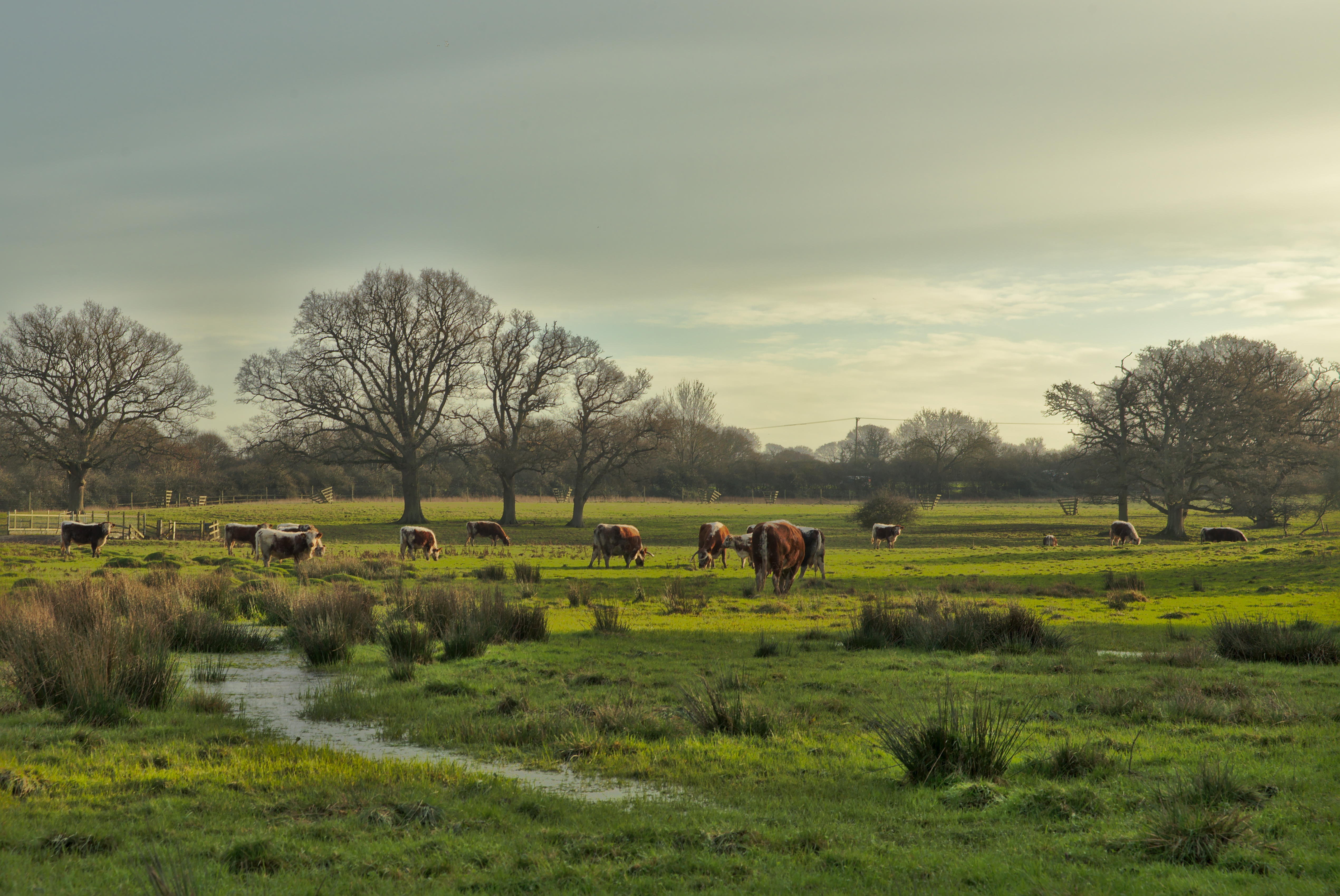
Furze Field, located in the county of Sussex in southeastern England, is a picturesque wood or forest known for its natural beauty and diverse ecosystem. Spanning an area of approximately 50 acres, this woodland is a popular destination for nature enthusiasts, hikers, and wildlife photographers.
The forest is primarily composed of various species of trees, including oak, beech, and birch, which create a dense and lush canopy overhead. Within the wood, a network of well-maintained trails winds through the trees, providing visitors with the opportunity to explore and immerse themselves in the tranquil surroundings.
Furze Field is home to a wide variety of flora and fauna, making it a haven for wildlife. Visitors can spot numerous bird species, such as woodpeckers, owls, and thrushes, as well as small mammals like squirrels, rabbits, and foxes. The forest floor is adorned with an array of wildflowers, ferns, and mosses, adding bursts of color and texture to the landscape.
In addition to its natural beauty, Furze Field also holds historical and archaeological significance. The woodland is believed to have been inhabited by ancient civilizations, as evidenced by the remnants of prehistoric settlements and burial mounds that have been discovered in the area. These historical artifacts offer valuable insights into the region's past and attract archaeologists and history enthusiasts alike.
Overall, Furze Field in Sussex is a captivating woodland that offers visitors a chance to escape the hustle and bustle of modern life and connect with nature. Its rich biodiversity, well-preserved trails, and historical significance make it a must-visit destination for anyone seeking a tranquil and enriching outdoor experience.
If you have any feedback on the listing, please let us know in the comments section below.
Furze Field Images
Images are sourced within 2km of 50.989576/-0.32229013 or Grid Reference TQ1722. Thanks to Geograph Open Source API. All images are credited.


Furze Field is located at Grid Ref: TQ1722 (Lat: 50.989576, Lng: -0.32229013)
Administrative County: West Sussex
District: Horsham
Police Authority: Sussex
What 3 Words
///eggshell.abode.rosier. Near Cowfold, West Sussex
Nearby Locations
Related Wikis

West Grinstead railway station
West Grinstead was a railway station on the Steyning Line which served the village of West Grinstead. It had a goods yard with a cattle loading bay and...

Shrine of Our Lady of Consolation
The Shrine of Our Lady of Consolation or Church of Our Lady of Consolation and Saint Francis is a Roman Catholic parish church in West Grinstead, in West...

West Grinstead
West Grinstead is a village and civil parish in the Horsham District of West Sussex, England. It lies just off the B2135 road four miles (6.3 km) northwest...

St George's Church, West Grinstead
St George's Church is an Anglican church in West Grinstead, West Sussex, England. It is in the Diocese of Chichester, occupying a rural position in the...

Knepp Castle
The medieval Knepp Castle (sometimes referred to as 'Old Knepp Castle', to distinguish it from the nearby 19th-century mansion) is to the west of the village...
Knepp Wildland
Knepp Wildland is the first major lowland rewilding project in England. It comprises 1,400 hectares (3,500 acres; 5.4 square miles) of former arable and...

Maplehurst, West Sussex
Maplehurst is a hamlet in the civil parish of Nuthurst, and the Horsham District of West Sussex, England. The hamlet is on the Copsale to Nuthurst road...

Copsale
Copsale is a hamlet in the civil parish of Nuthurst, and the Horsham District of West Sussex, England. It lies on the Southwater to Maplehurst road 3.5...
Nearby Amenities
Located within 500m of 50.989576,-0.32229013Have you been to Furze Field?
Leave your review of Furze Field below (or comments, questions and feedback).