Graylands Copse
Wood, Forest in Sussex Horsham
England
Graylands Copse

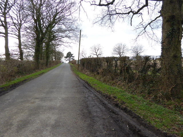
Graylands Copse is a captivating wood located in Sussex, England. Stretching over an area of approximately 50 hectares, it forms part of the beautiful South Downs National Park. This ancient woodland boasts a rich history dating back several centuries.
Composed primarily of broadleaf trees such as oak, beech, and ash, the copse creates a stunning tapestry of colors throughout the year. In spring, delicate blossoms adorn the branches, while in autumn, the foliage transforms into a vibrant array of reds, oranges, and golds. The woodland floor is adorned with a diverse array of flora, including bluebells, primroses, and wood anemones, creating a picturesque scene that attracts both nature enthusiasts and photographers alike.
Home to an abundance of wildlife, Graylands Copse provides a sanctuary for various species. It is a haven for birdwatchers, with a plethora of bird species including woodpeckers, nightingales, and owls. The copse also supports a healthy population of deer, badgers, and foxes, adding to the enchanting atmosphere.
Visitors to Graylands Copse can explore numerous walking trails that wind through the woodland, offering a chance to immerse themselves in nature's tranquility. The copse is equipped with well-maintained footpaths, ensuring ease of access for all. Additionally, there are picnic areas scattered throughout, providing a perfect spot to relax and enjoy the surroundings.
Graylands Copse is not only a natural gem but also plays a vital role in the ecosystem, contributing to the local biodiversity and environmental sustainability. It is a cherished destination for nature lovers, offering a peaceful retreat from the bustling modern world.
If you have any feedback on the listing, please let us know in the comments section below.
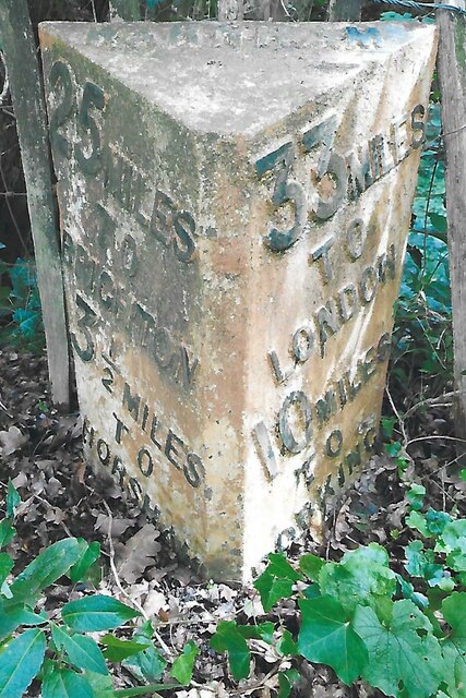
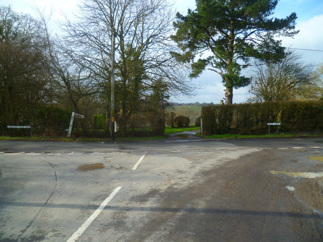
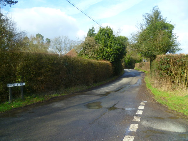
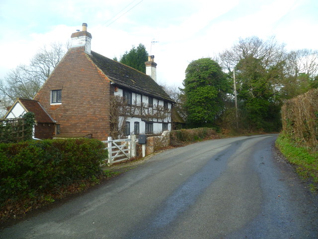
Graylands Copse Images
Images are sourced within 2km of 51.095138/-0.3187154 or Grid Reference TQ1734. Thanks to Geograph Open Source API. All images are credited.


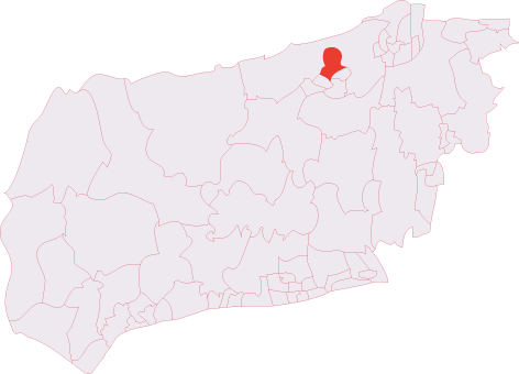
Graylands Copse is located at Grid Ref: TQ1734 (Lat: 51.095138, Lng: -0.3187154)
Administrative County: West Sussex
District: Horsham
Police Authority: Sussex
What 3 Words
///wallet.bakers.stretcher. Near Warnham, West Sussex
Nearby Locations
Related Wikis

Graylands
Graylands is a hamlet in the Horsham district of West Sussex, England. The largely rural hamlet is located north of Holbrook beyond the A264. It is bordered...

Old Holbrook
Old Holbrook (formerly known as Northlands) is a hamlet in the Horsham district of West Sussex, England. This rural hamlet is located north of the Horsham...
Holbrook (electoral division)
Holbrook is an electoral division of West Sussex in the United Kingdom and returns one member to sit on West Sussex County Council. The current County...

Warnham railway station
Warnham railway station serves the village of Warnham in West Sussex, England. It is 33 miles 46 chains (54.0 km) measured from London Waterloo (although...

Warnham SSSI
Warnham SSSI is a 28.5-hectare (70-acre) geological Site of Special Scientific Interest north of Horsham in West Sussex. It is a Geological Conservation...

Bohunt Horsham
Bohunt Horsham is a coeducational all-through school located in Horsham, West Sussex, England. The school opened to 120 students in Year 7 in 2019 in temporary...

Warnham LNR
Warnham LNR is a 38.4-hectare (95-acre) Local Nature Reserve in Horsham in West Sussex. It is owned and managed by Horsham District Council.The principal...
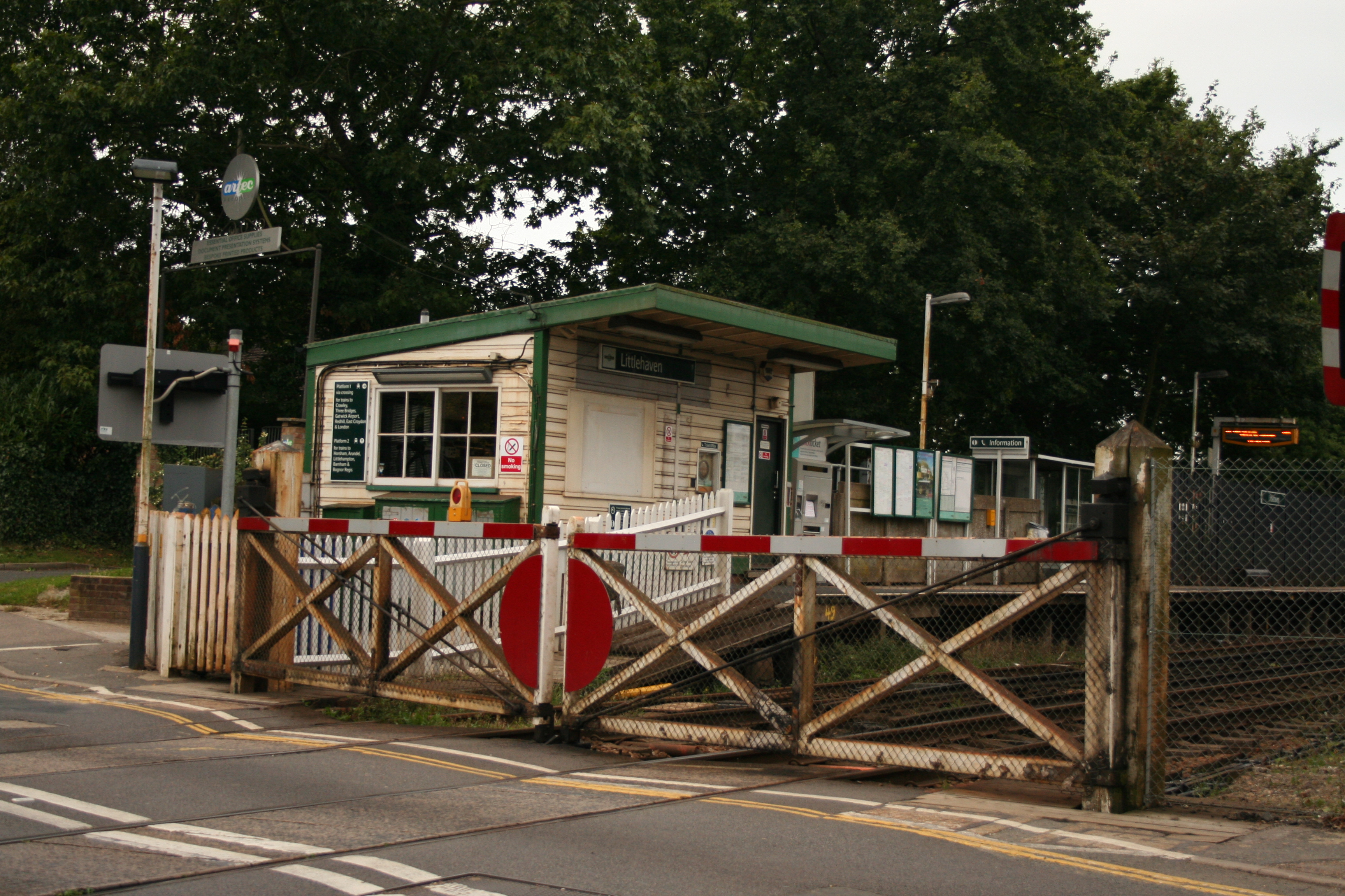
Littlehaven railway station
Littlehaven railway station serves the areas of Littlehaven, Holbrook and Roffey in the northeast of the town of Horsham, West Sussex, England. It is on...
Nearby Amenities
Located within 500m of 51.095138,-0.3187154Have you been to Graylands Copse?
Leave your review of Graylands Copse below (or comments, questions and feedback).